Boughton
Civil Parish in Norfolk King's Lynn and West Norfolk
England
Boughton
Boughton is a civil parish located in the county of Norfolk, England. It is a small village situated approximately 7 miles west of the market town of Fakenham. The parish covers an area of around 10 square kilometers and has a population of approximately 200 residents.
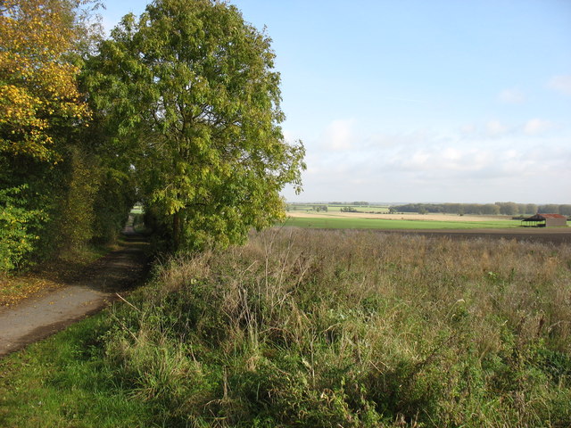
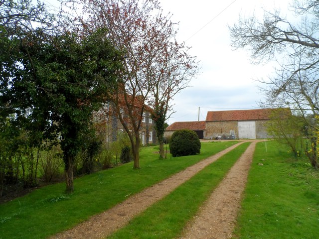
Boughton is a picturesque village with a mix of traditional cottages and more modern homes. The village is surrounded by beautiful countryside, making it a popular location for outdoor enthusiasts and nature lovers. There are several walking and cycling routes in the area, offering stunning views of the Norfolk landscape.
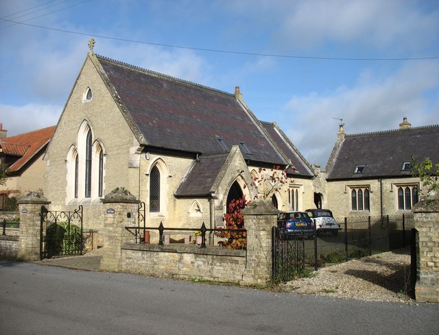
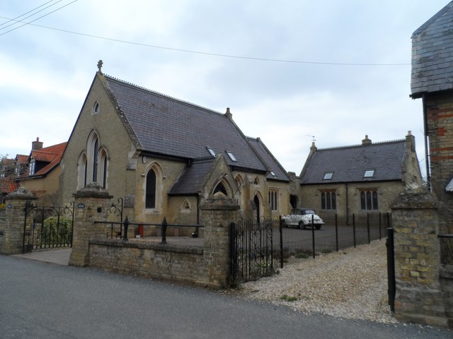
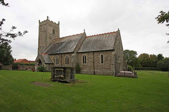
The village has a close-knit community and a strong sense of local pride. There is a village hall that hosts a variety of events and activities throughout the year, bringing residents together. There is also a church in the village, which serves as a focal point for the community.
Overall, Boughton is a charming and peaceful village with a strong sense of community spirit and a beautiful natural setting.
If you have any feedback on the listing, please let us know in the comments section below.
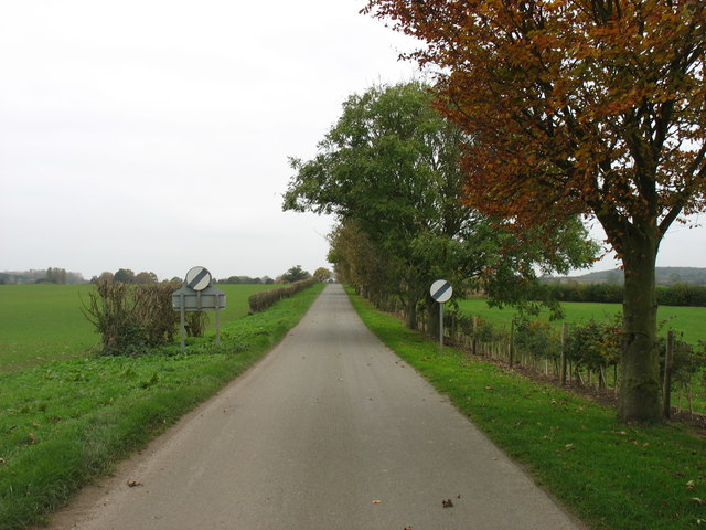
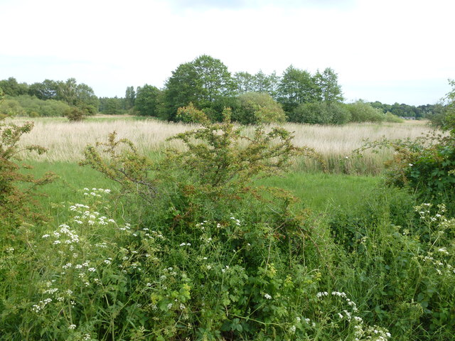
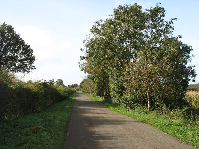
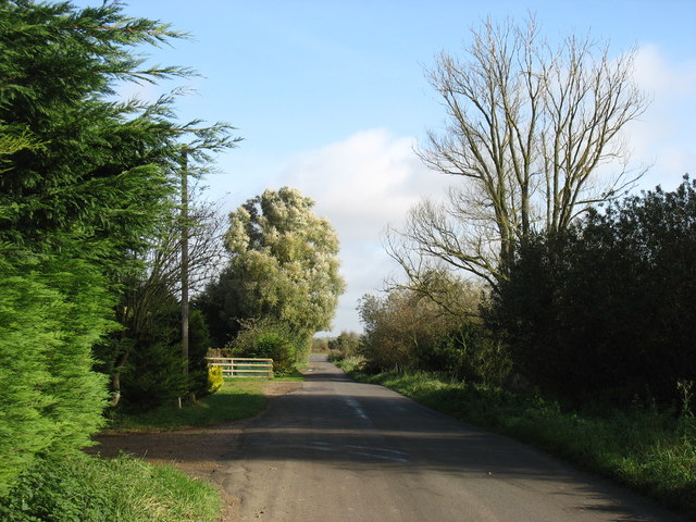
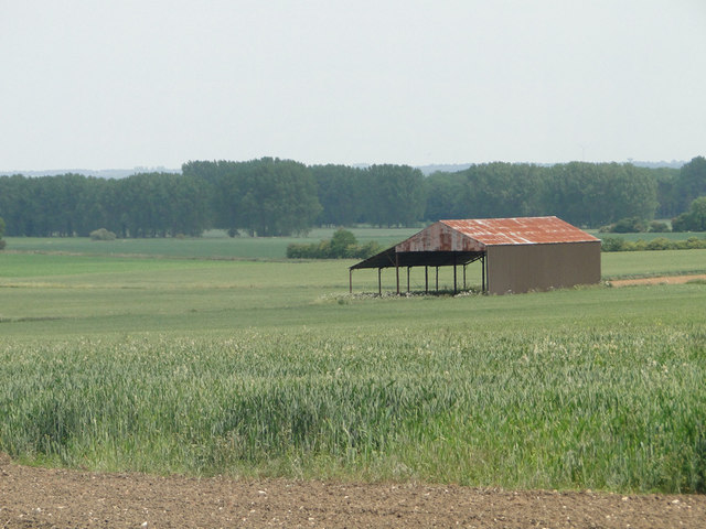
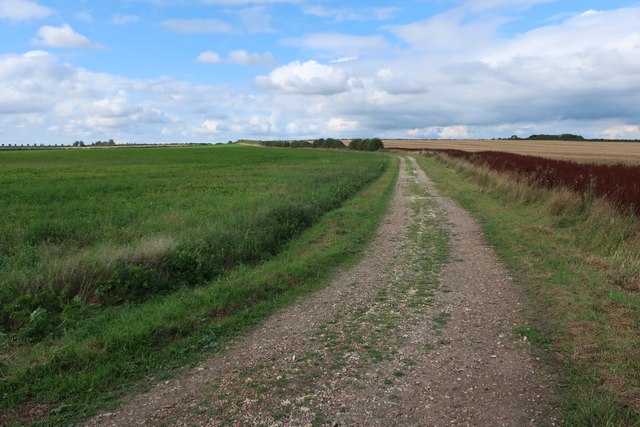
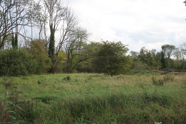
Boughton Images
Images are sourced within 2km of 52.593686/0.517144 or Grid Reference TF7002. Thanks to Geograph Open Source API. All images are credited.


Boughton is located at Grid Ref: TF7002 (Lat: 52.593686, Lng: 0.517144)
Administrative County: Norfolk
District: King's Lynn and West Norfolk
Police Authority: Norfolk
What 3 Words
///honestly.outdoors.hardening. Near Stoke Ferry, Norfolk
Nearby Locations
Related Wikis
Boughton, Norfolk
Boughton is a village and a civil parish in the English county of Norfolk. The village is 44.4 miles (71.5 km) west of Norwich, 15.1 miles (24.3 km) south...

Boughton Fen
Boughton Fen is a 15.7-hectare (39-acre) biological Site of Special Scientific Interest east of Downham Market in Norfolk. it is common land registered...

Winnold House
Winnold House, formerly the Benedictine Priory of St Winwaloe, is a country house in the parish of Wereham in Norfolk, England. The house is constructed...

RAF Barton Bendish
RAF Barton Bendish was an airfield for the Royal Air Force located on the far side of the Downham Market to Swaffham road from its parent station, RAF...
Nearby Amenities
Located within 500m of 52.593686,0.517144Have you been to Boughton?
Leave your review of Boughton below (or comments, questions and feedback).