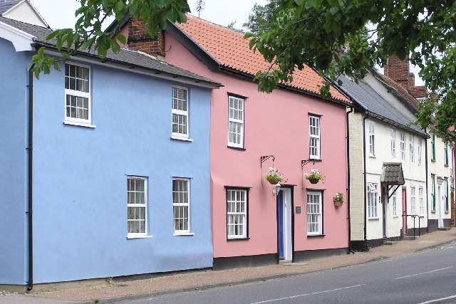
Botesdale
Civil Parish in Suffolk Mid Suffolk
England
Botesdale
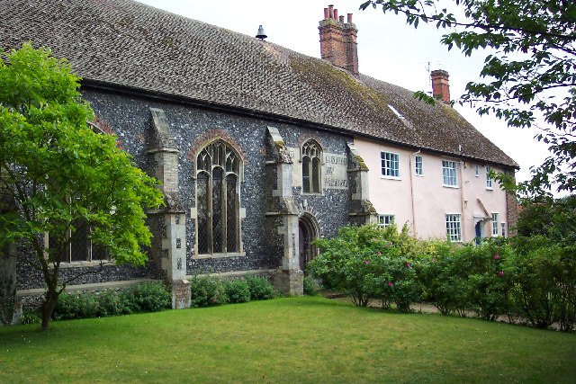
Botesdale is a civil parish located in the Mid Suffolk district of Suffolk, England. Situated about 20 miles southeast of Norwich and 25 miles northwest of Ipswich, it is a small and charming village with a population of around 1,000 residents.
The parish of Botesdale is made up of the villages of Botesdale and Rickinghall, which are often referred to as one entity due to their close proximity. The village is surrounded by beautiful countryside, offering picturesque views and a peaceful atmosphere.
Botesdale has a rich history, with evidence of settlements dating back to Roman times. The village was mentioned in the Domesday Book of 1086, highlighting its long-standing presence in the region. Throughout the centuries, Botesdale has primarily been an agricultural community, although it has seen some industrial development in recent years.
Today, Botesdale offers a range of amenities for its residents and visitors. There are several local shops, including a post office, convenience stores, and a pharmacy, providing essential services to the community. The village also boasts a primary school, a medical practice, and a selection of pubs and restaurants.
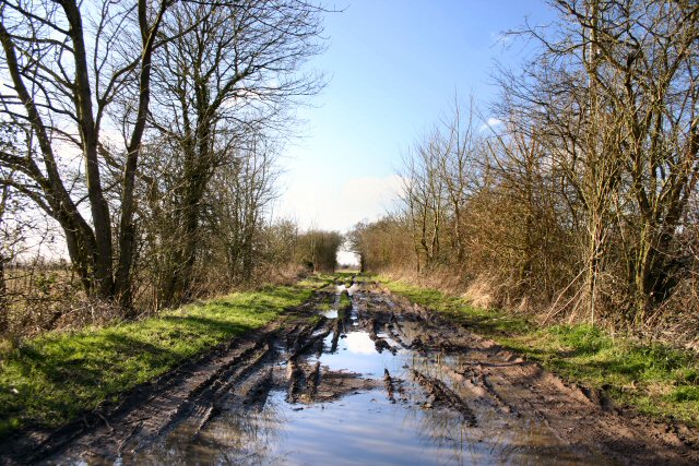
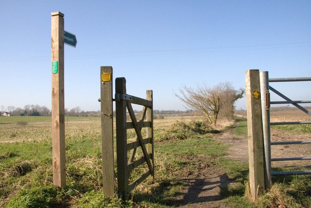
For outdoor enthusiasts, Botesdale and its surrounding areas offer ample opportunities for walking, cycling, and exploring the countryside. The village is well-connected to neighboring towns and cities via road and public transport, making it an accessible location for both residents and tourists.
Overall, Botesdale is a quaint and historic village in Suffolk, offering a peaceful rural setting and a close-knit community.
If you have any feedback on the listing, please let us know in the comments section below.
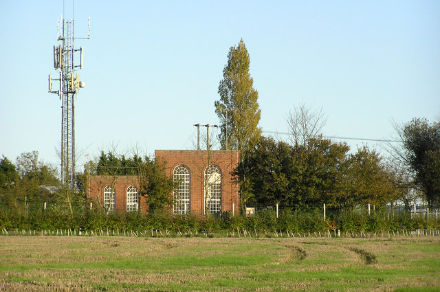
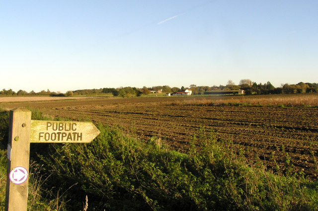
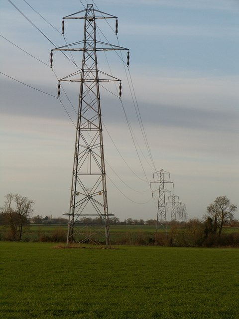
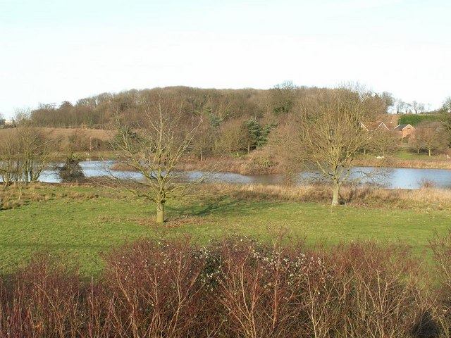
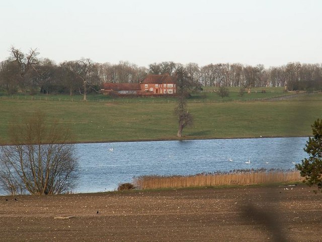
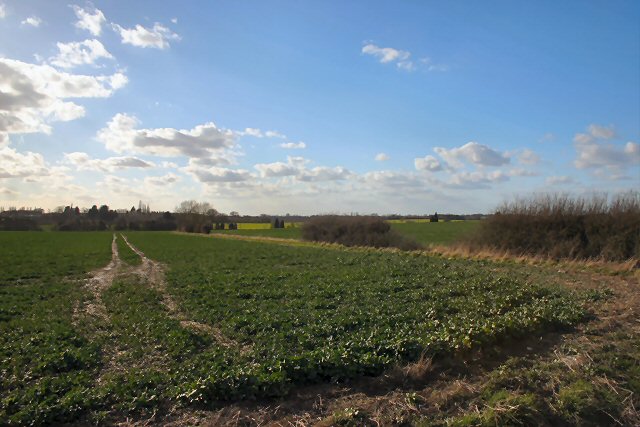
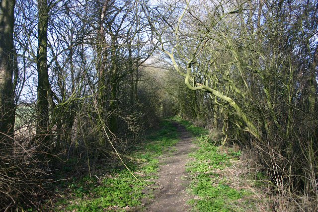
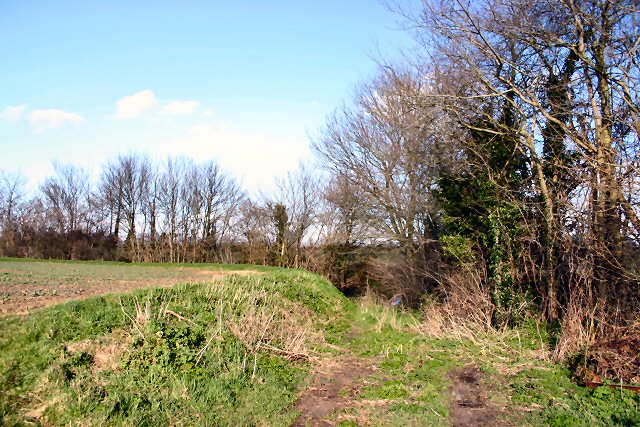
Botesdale Images
Images are sourced within 2km of 52.337109/1.019806 or Grid Reference TM0575. Thanks to Geograph Open Source API. All images are credited.


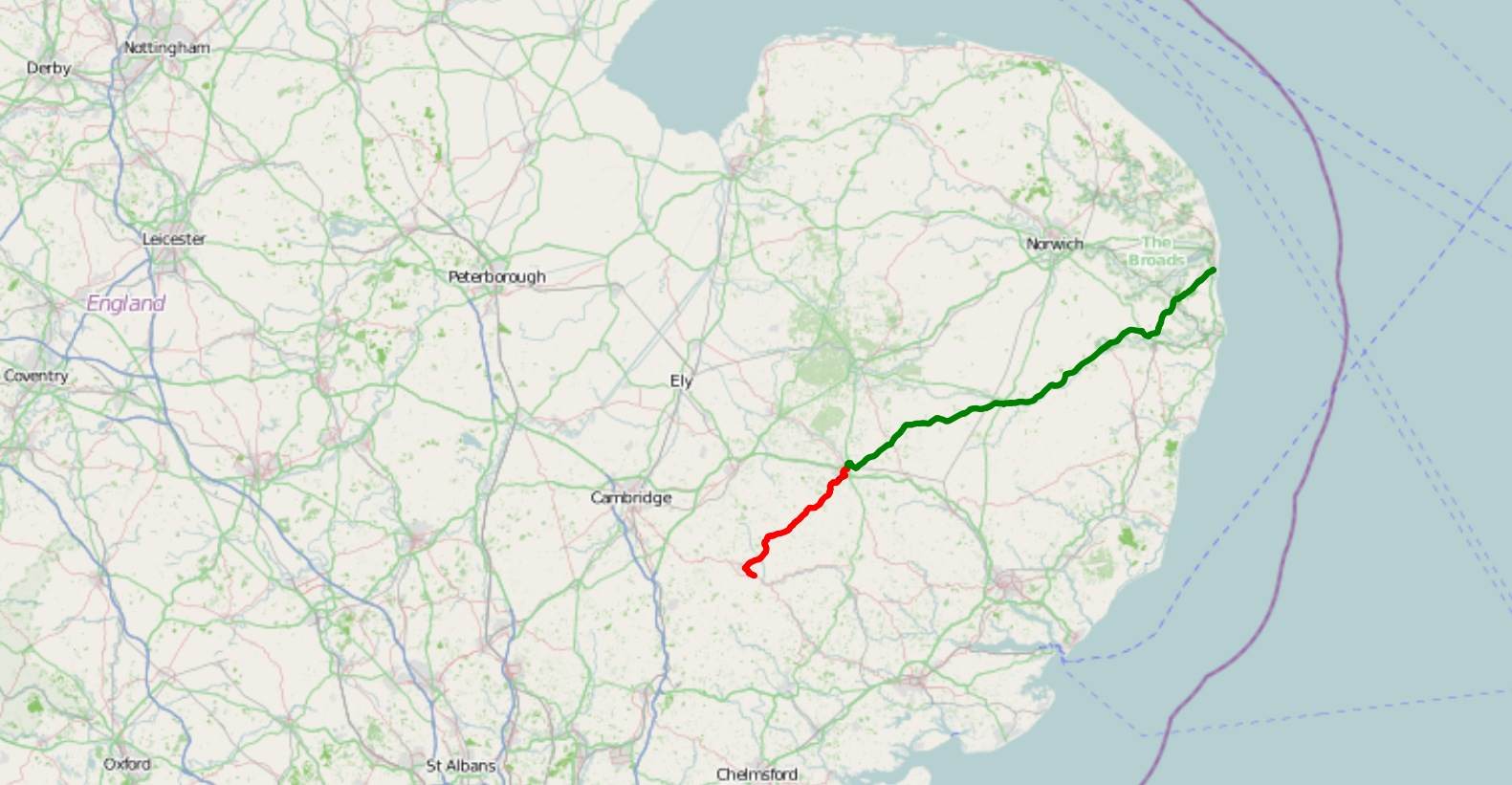
Botesdale is located at Grid Ref: TM0575 (Lat: 52.337109, Lng: 1.019806)
Administrative County: Suffolk
District: Mid Suffolk
Police Authority: Suffolk
What 3 Words
///eggs.soap.timer. Near Botesdale, Suffolk
Nearby Locations
Related Wikis

Botesdale
Botesdale is a village and civil parish in the Mid Suffolk district of the English county of Suffolk. The village is about 6 miles (10 km) south west of...

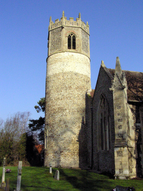
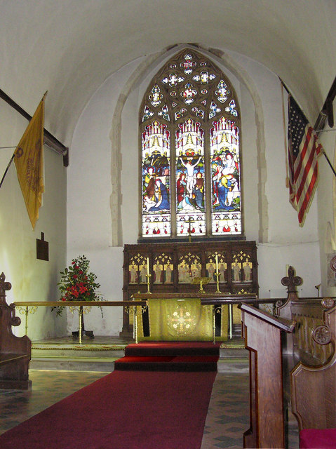
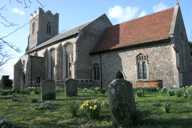
St Botolph's Chapel, Botesdale
St Botolph's Chapel is located in Botesdale, Suffolk. Built as a chapel of ease for the parish church of St Mary's Church, Redgrave, it now serves as the...
A143 road
The A143 is a road that runs from the Gorleston-on-Sea area of Great Yarmouth, in Norfolk to Haverhill in Suffolk. For much of the route (between Gorleston...
Rickinghall
Rickinghall is a village in the Mid Suffolk district of Suffolk, England. The village is split between two parishes, Rickinghall Inferior and Rickinghall...
Rickinghall Superior
Rickinghall Superior is a civil parish in the Mid Suffolk district of Suffolk, England. It covers the eastern part of the village of Rickinghall, and...

Burgate Wood
Burgate Wood is a 29.9-hectare (74-acre) biological Site of Special Scientific Interest in Suffolk. The site includes a medieval ringwork which is a Scheduled...
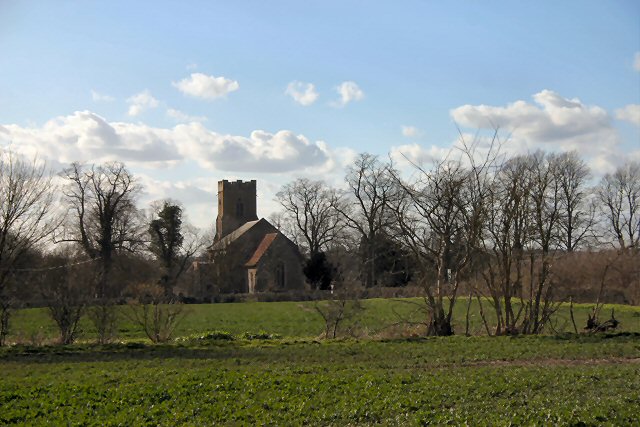
St Mary's Church, Rickinghall Superior
St Mary's Church is a redundant Anglican church in the civil parish of Rickinghall Superior, in the village of Rickinghall, Suffolk, England. It is recorded...

Wortham, Suffolk
Wortham is a village and parish in Suffolk, England, close to the border with Norfolk. Its church, St Mary the Virgin, lies about a mile north of the present...
Nearby Amenities
Located within 500m of 52.337109,1.019806Have you been to Botesdale?
Leave your review of Botesdale below (or comments, questions and feedback).