Boston Spa
Civil Parish in Yorkshire Leeds
England
Boston Spa
Boston Spa is a quaint civil parish located in the county of Yorkshire in England. Situated on the banks of the River Wharfe, it is part of the larger district of Leeds. With a population of approximately 4,000 residents, it is a small but vibrant community.
The village boasts a rich history, dating back to Roman times when a settlement was established in the area. Today, remnants of this ancient history can still be seen in the form of archaeological sites and the remains of a Roman road. Boston Spa was also an important coaching town in the 18th and 19th centuries, with several coaching inns still standing as a testament to its past.
The village is known for its picturesque beauty, with charming Georgian and Victorian architecture lining the streets. The centerpiece of the village is the Boston Spa Village Hall, a stunning Grade II listed building that serves as a community hub and hosts various events and activities throughout the year.
In terms of amenities, Boston Spa has a range of shops, restaurants, and pubs that cater to the needs of its residents. The village is also home to several schools, making it an attractive location for families.
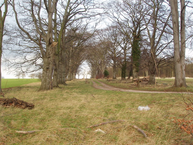
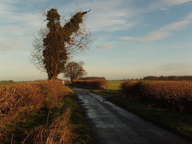
Nature lovers will appreciate the stunning countryside surrounding Boston Spa, with the nearby Bramham Park and Thorp Arch Estate offering ample opportunities for outdoor activities such as hiking and cycling.
Overall, Boston Spa is a delightful village that seamlessly combines history, natural beauty, and a strong sense of community.
If you have any feedback on the listing, please let us know in the comments section below.
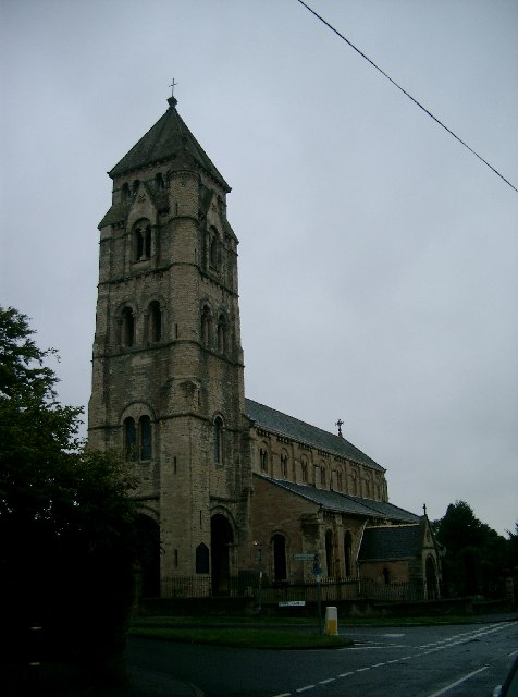
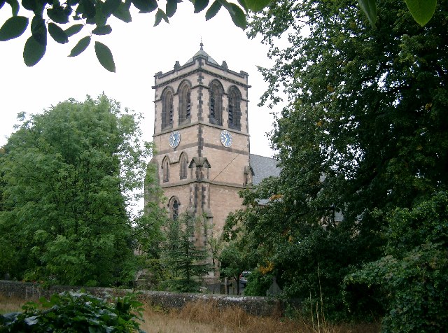
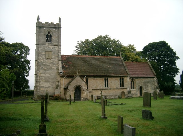
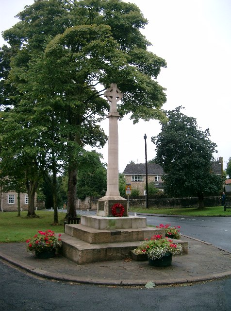
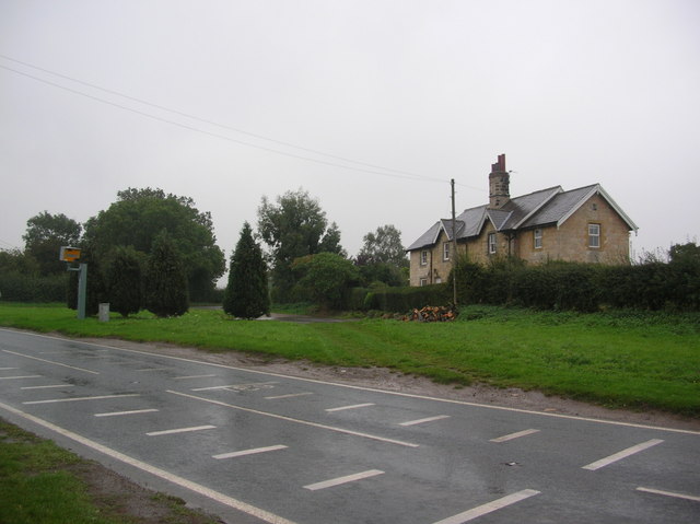
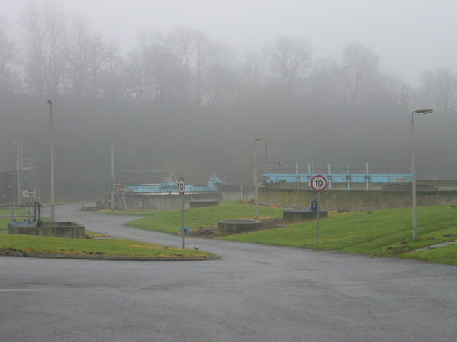
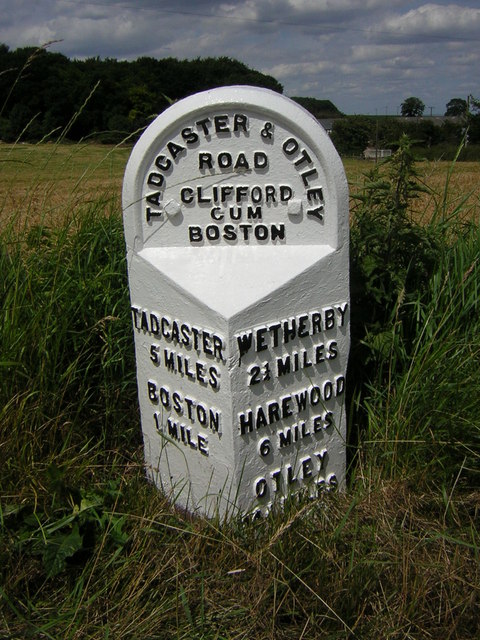
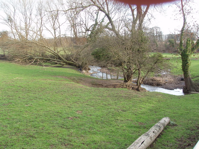
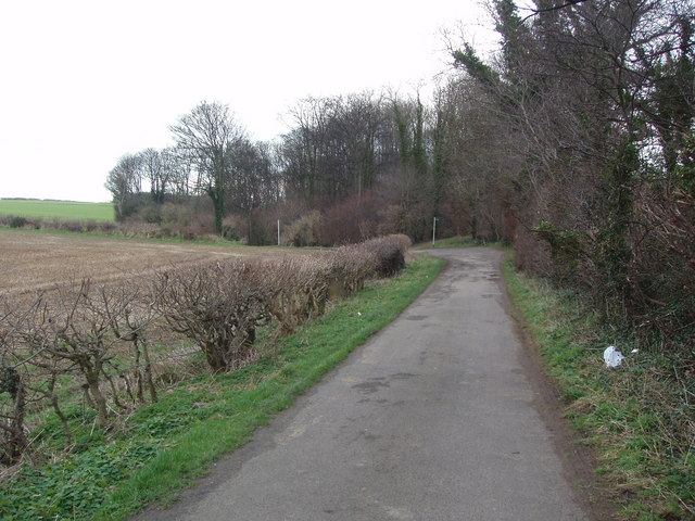
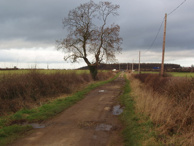
Boston Spa Images
Images are sourced within 2km of 53.906306/-1.354243 or Grid Reference SE4245. Thanks to Geograph Open Source API. All images are credited.
Boston Spa is located at Grid Ref: SE4245 (Lat: 53.906306, Lng: -1.354243)
Division: West Riding
Administrative County: West Yorkshire
District: Leeds
Police Authority: West Yorkshire
What 3 Words
///recliner.socialite.driveway. Near Boston Spa, West Yorkshire
Nearby Locations
Related Wikis
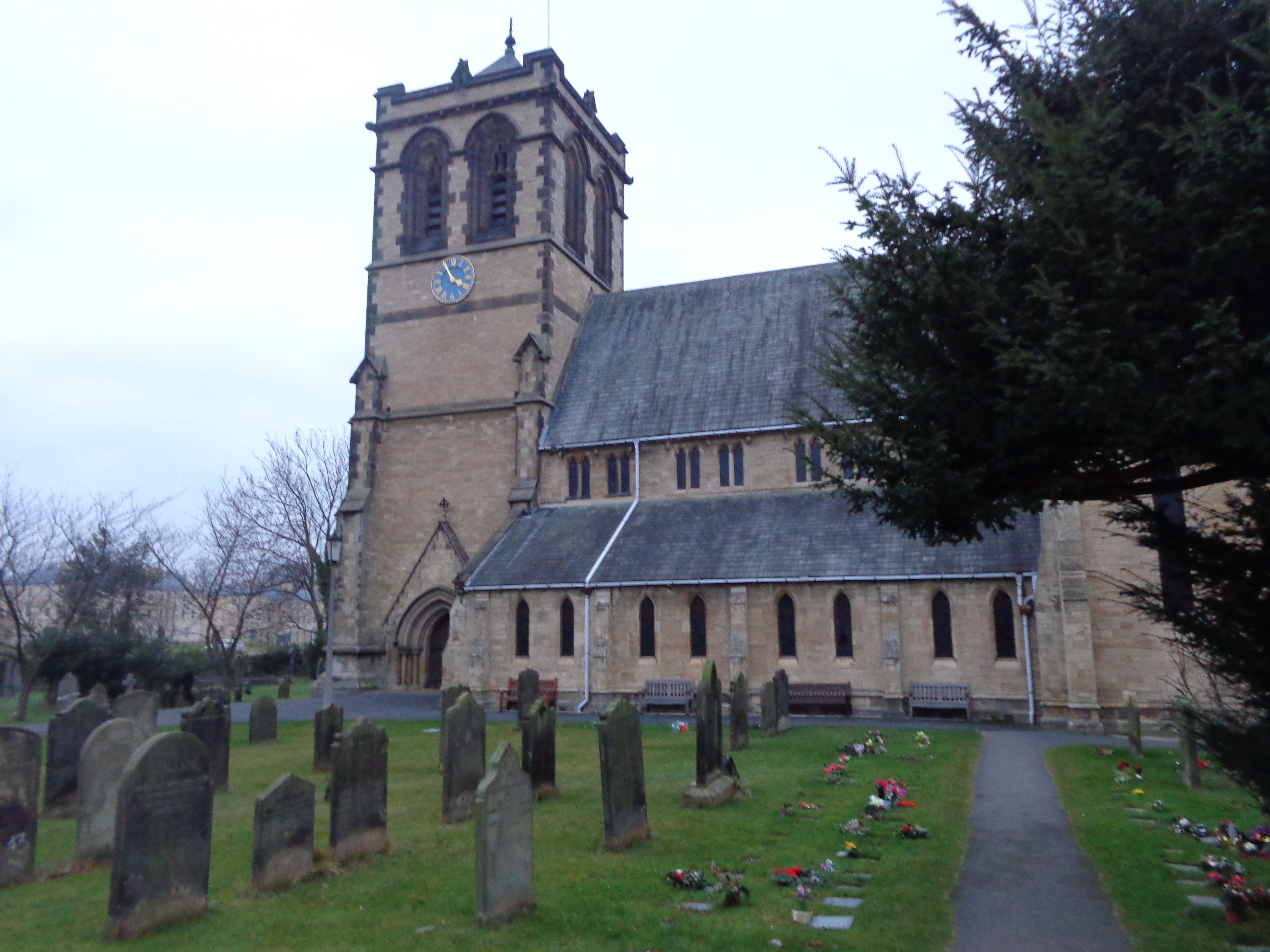
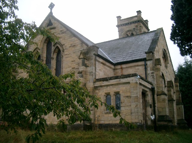
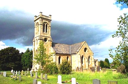
St Mary the Virgin Church, Boston Spa
The Church of St Mary the Virgin in Boston Spa, West Yorkshire, England is an active Anglican parish church in the archdeaconry of York and the Diocese...

Boston Spa
Boston Spa is a village and civil parish in the City of Leeds in West Yorkshire, England. Situated 3 miles (5 km) south of Wetherby, Boston Spa is on the...

Thorp Arch Bridge
Thorp Arch Bridge (sometimes known locally as Boston Spa Bridge) is a stone arch bridge opened in 1770 across the River Wharfe linking the West Yorkshire...

Thorp Arch
Thorp Arch is a village and civil parish near Wetherby, West Yorkshire, England in the City of Leeds metropolitan borough. == Governance == It sits in...
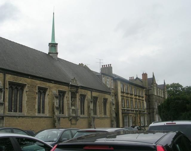
St John's Catholic School for the Deaf
St John's Catholic School for the Deaf is a school for deaf and hearing impaired children in Boston Spa, Wetherby, West Yorkshire, England. Monsignor de...
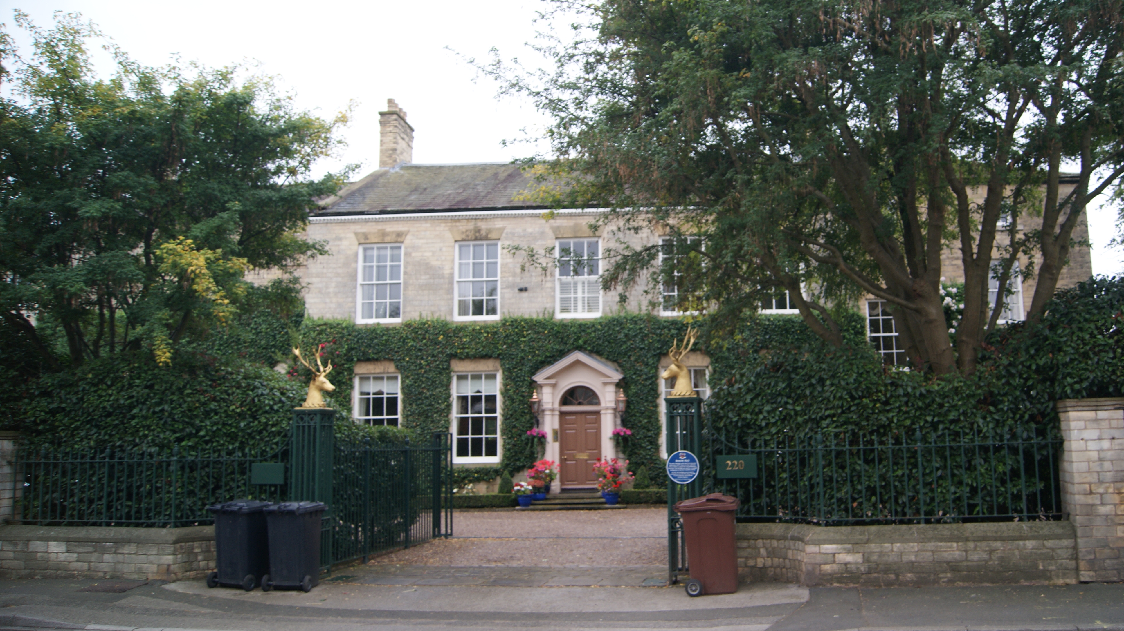
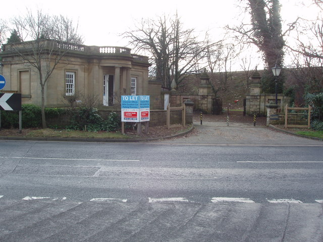
Boston Hall, Boston Spa
Boston Hall is a Grade II listed neo-classical house in Boston Spa, West Yorkshire, England. == History == The main part of the house was completed in...

Boston Spa Methodist Church
Boston Spa Methodist Church is an active Methodist Church of Great Britain church in Boston Spa, West Yorkshire, England. The church is Grade II listed...

Boston Spa Academy
Boston Spa Academy (formerly Boston Spa Comprehensive School) is a coeducational secondary school for pupils aged 11–19 years old on Clifford Moor Road...
Nearby Amenities
Located within 500m of 53.906306,-1.354243Have you been to Boston Spa?
Leave your review of Boston Spa below (or comments, questions and feedback).