Abcott
Settlement in Shropshire
England
Abcott
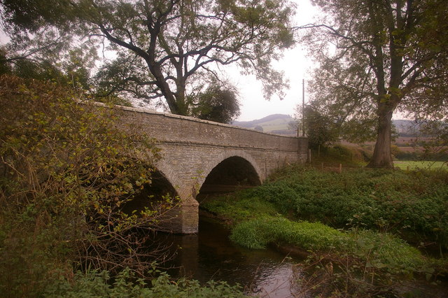
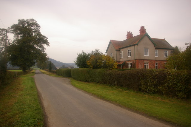
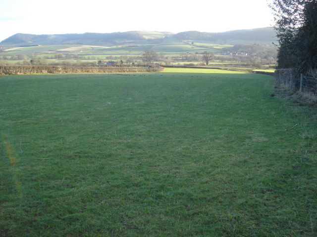
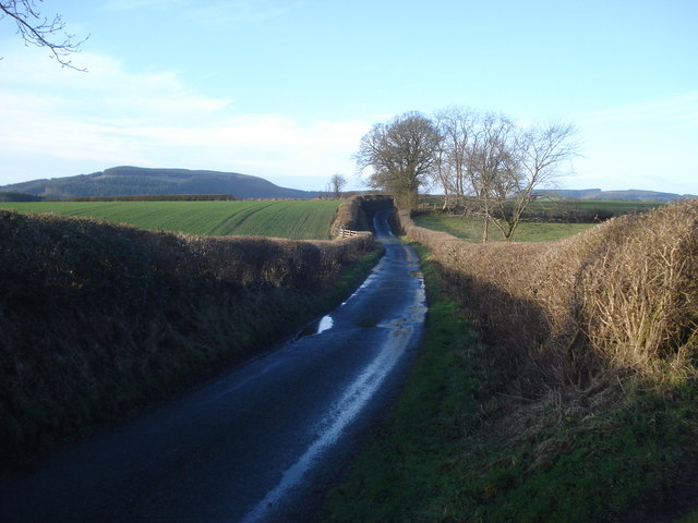
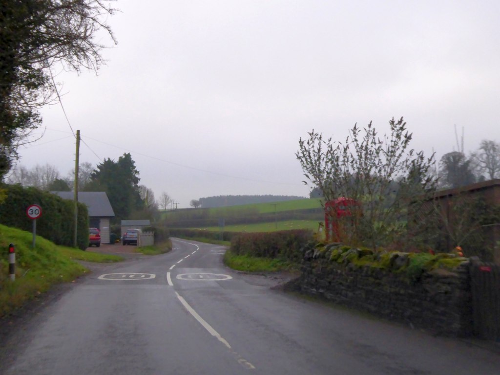
Abcott is a small village located in the county of Shropshire, England. Situated in the western part of the county, Abcott is a rural community known for its picturesque landscapes and serene atmosphere. The village is nestled amidst rolling hills and lush green fields, offering breathtaking views of the surrounding countryside.
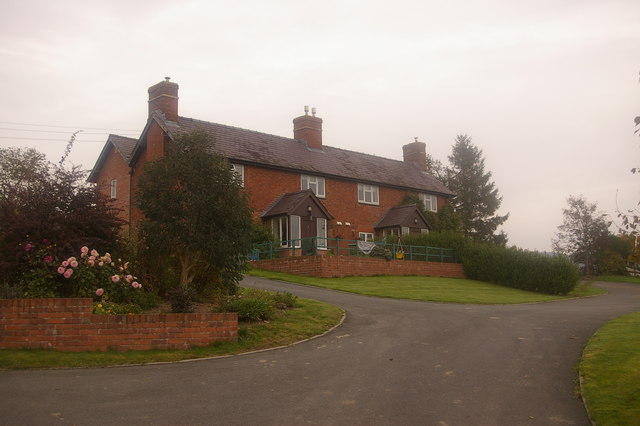
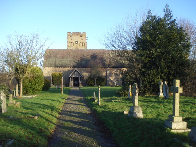
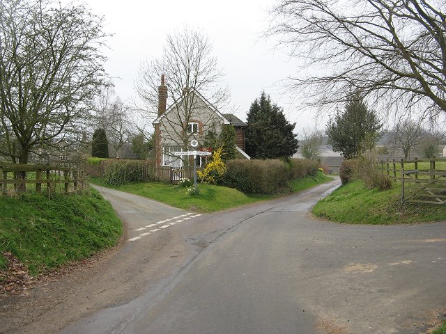
With a population of around 200 residents, Abcott is a close-knit community where neighbors often know each other by name. The village is characterized by its charming cottages and traditional architecture, with many of the buildings dating back several centuries. The local church, St. Mary's, is a prominent feature in Abcott and serves as a central gathering place for religious and social events.
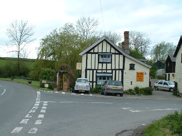
Abcott is primarily an agricultural community, with farming being the main occupation for many of its residents. The fertile land in the area allows for the cultivation of crops and the rearing of livestock. The village is also home to several small businesses, including a local pub and a village store, which provide essential services for the community.
Despite its small size, Abcott offers a range of recreational activities for residents and visitors alike. The surrounding countryside provides ample opportunities for hiking, cycling, and horseback riding, with numerous trails and bridleways to explore. The village also hosts an annual summer fair, where locals and tourists come together to enjoy traditional games, local food, and live music.
Overall, Abcott is a tranquil and idyllic village that offers a peaceful retreat from the hustle and bustle of city life. Its natural beauty, strong sense of community, and agricultural heritage make it a charming destination for those seeking a quintessentially English countryside experience.
If you have any feedback on the listing, please let us know in the comments section below.
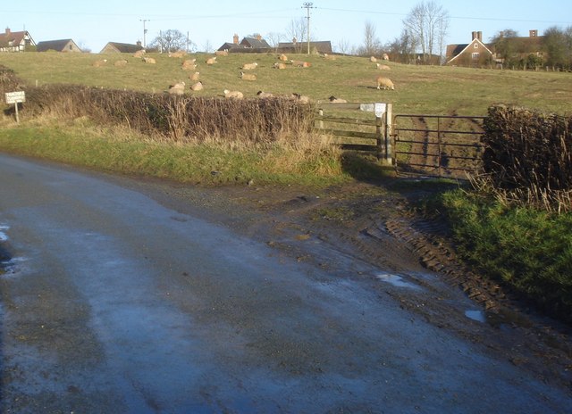
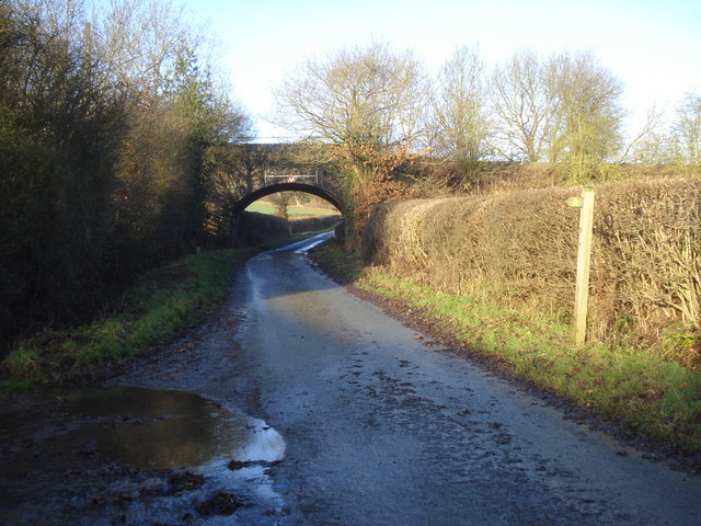
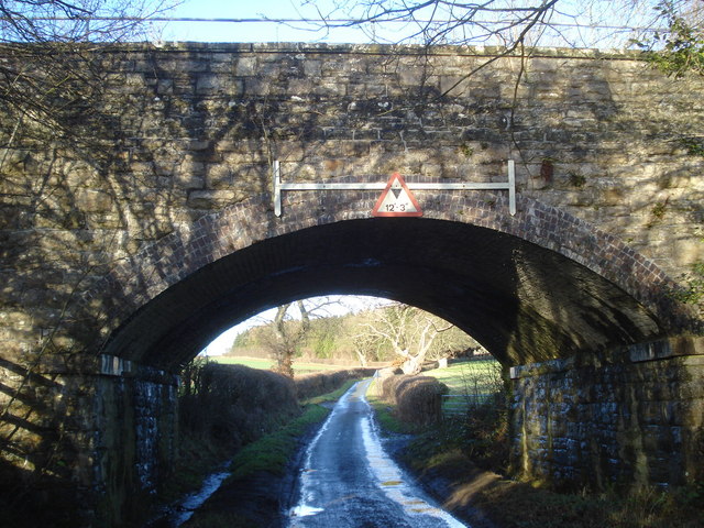
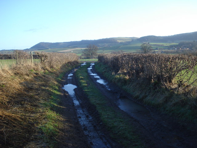
Abcott Images
Images are sourced within 2km of 52.402334/-2.897029 or Grid Reference SO3978. Thanks to Geograph Open Source API. All images are credited.


Abcott is located at Grid Ref: SO3978 (Lat: 52.402334, Lng: -2.897029)
Unitary Authority: Shropshire
Police Authority: West Mercia
What 3 Words
///doghouse.snipe.punters. Near Downton, Herefordshire
Nearby Locations
Related Wikis

Abcott
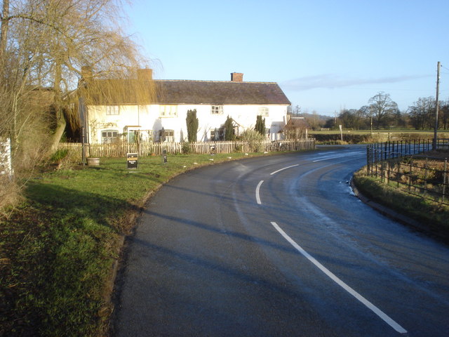
Abcott is a hamlet in south Shropshire, England. It lies on the west side of the River Clun and its flood plain, just opposite from the village of Clungunford...

Clungunford
Clungunford is a village and civil parish in south Shropshire, England, located near the border with Herefordshire. == Village == The village features...

Beckjay
Beckjay is a hamlet in the south of the English county of Shropshire. Its name, and that of the nearby hamlet of Jay (about 1+1⁄2 miles (2.4 km) south...

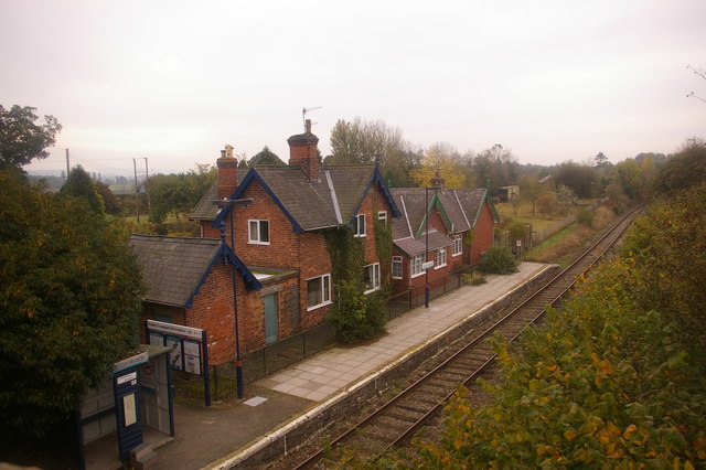
Hopton Heath railway station
Hopton Heath railway station in Hopton Heath, Shropshire, England, lies on the Heart of Wales Line, 25+1⁄2 miles (41.0 km) south west of Shrewsbury. The...

Hopton Heath
Hopton Heath, or Hoptonheath, is a hamlet in south Shropshire, England. The border with Herefordshire is close by. It lies on the border of the civil parishes...
Shelderton
Shelderton is a hamlet in south Shropshire, England. It is located just southeast of the village of Clungunford and is part of that village's civil parish...
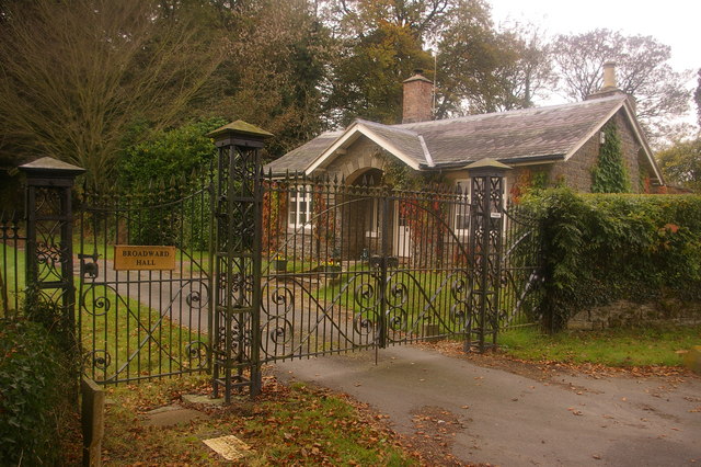
Broadward
Broadward is a dispersed hamlet in south Shropshire, England, situated by the border with Herefordshire. It is in the civil parish of Clungunford, a village...
Twitchen, Shropshire
Twitchen is a hamlet in Shropshire, England, on the B4385 south of Purslow and near to Hopton Castle. The southern part of the settlement is called Three...
Nearby Amenities
Located within 500m of 52.402334,-2.897029Have you been to Abcott?
Leave your review of Abcott below (or comments, questions and feedback).