Bootle
Civil Parish in Cumberland Copeland
England
Bootle

Bootle is a civil parish located in the county of Cumberland, in the northwest region of England. It is situated within the borough of Copeland, and covers an area of approximately 14 square kilometers. The parish is bordered by the stunning Lake District National Park to the east, and the Irish Sea to the west.
Bootle is a small rural village with a population of around 1,000 people. It is known for its picturesque surroundings, with rolling hills, lush green fields, and charming countryside scenery. The village itself is home to a range of amenities, including a primary school, a village hall, a post office, and a few local shops and pubs.
Historically, Bootle was a mining community, with coal mining being the main industry in the area from the 19th century until its decline in the mid-20th century. Today, the village has a more diverse economy, with agriculture, tourism, and small businesses playing important roles.
One of the notable landmarks in Bootle is St. Michael's Church, a beautiful Grade II listed building dating back to the 12th century. The church is known for its unique architecture and houses some impressive stained glass windows.
Bootle offers plenty of opportunities for outdoor activities, such as hiking, cycling, and exploring the nearby national park. The village also hosts various events throughout the year, including a summer fair and a Christmas market, which attract visitors from both near and far.
In summary, Bootle is an idyllic rural village in the heart of Cumberland, known for its stunning natural surroundings, rich history, and close-knit community.
If you have any feedback on the listing, please let us know in the comments section below.
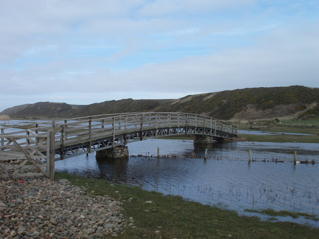
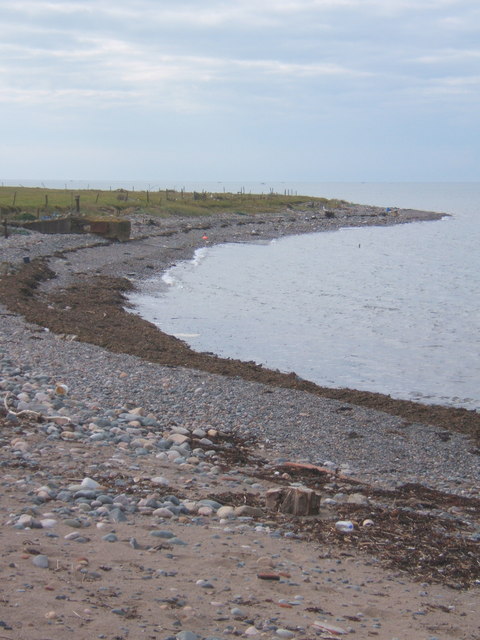
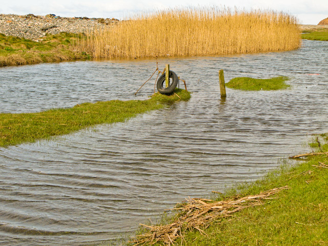
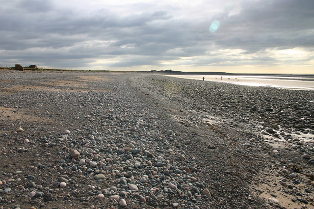
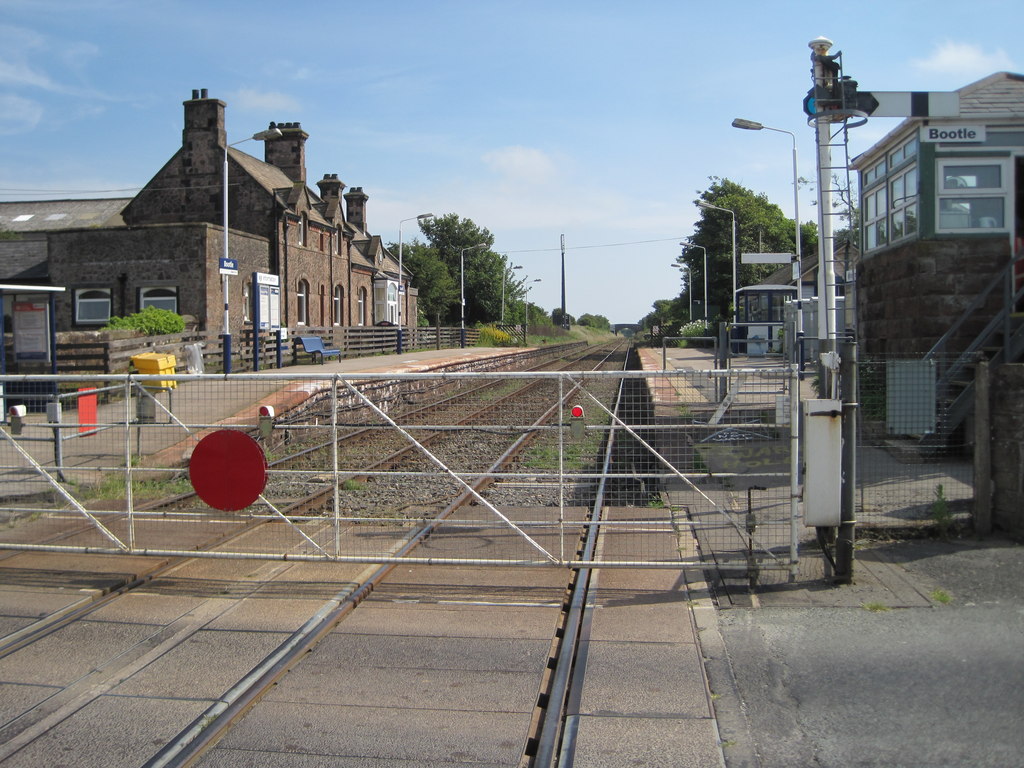
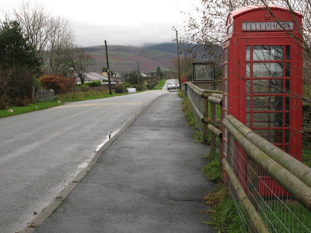
Bootle Images
Images are sourced within 2km of 54.284421/-3.427424 or Grid Reference SD0788. Thanks to Geograph Open Source API. All images are credited.


Bootle is located at Grid Ref: SD0788 (Lat: 54.284421, Lng: -3.427424)
Administrative County: Cumbria
District: Copeland
Police Authority: Cumbria
What 3 Words
///normal.exonerate.punchy. Near Haverigg, Cumbria
Nearby Locations
Related Wikis

River Annas
The River Annas is a minor river in Cumbria in northwest England. It is formed as the Kinmont Beck and Crookley Beck which drain the southwestern fells...

Stubb Place
Stubb Place is a small settlement in western Cumbria, England. Known by locals in Waberthwaite as marshside, due to the name of the nearby cottages. It...
Bootle railway station
Bootle is a railway station on the Cumbrian Coast Line, which runs between Carlisle and Barrow-in-Furness. The station, situated 24 miles (39 km) north...
Hycemoor
Hycemoor is a hamlet in Copeland borough of the county of Cumbria, in North west England. == Location == It is located on a minor road about a mile away...
Related Videos

Caravan Stay in a Farm House| Millom-Boottle Lake District#lakedistrict #leicester #farmhouse
130 acres of a farm house in Boottle, Lake District UK.
Have you been to Bootle?
Leave your review of Bootle below (or comments, questions and feedback).