Bolton-on-Swale

Civil Parish in Yorkshire Richmondshire

England

Bolton-on-Swale

Dusk over Bolton-on-Swale Lake Taken from Back Lane, looking across the lake.
Further details from <span class="nowrap"><a title="https://www.ywt.org.uk/nature-reserves/bolton-swale-lake-nature-reserve" rel="nofollow ugc noopener" href="https://www.ywt.org.uk/nature-reserves/bolton-swale-lake-nature-reserve">Link</a><img style="margin-left:2px;" alt="External link" title="External link - shift click to open in new window" src="https://s1.geograph.org.uk/img/external.png" width="10" height="10"/></span>
Dusk over Bolton-on-Swale Lake Credit: Nick W

Bolton-on-Swale is a civil parish located in the county of Yorkshire, England. Situated in the district of Richmondshire, it lies on the northern bank of the River Swale, approximately 4 miles northwest of the market town of Northallerton. The parish covers an area of around 1.4 square miles and has a population of approximately 500 residents.

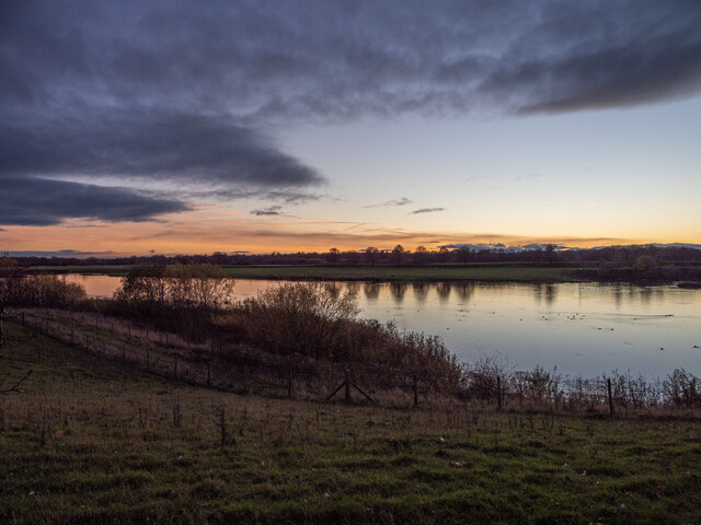
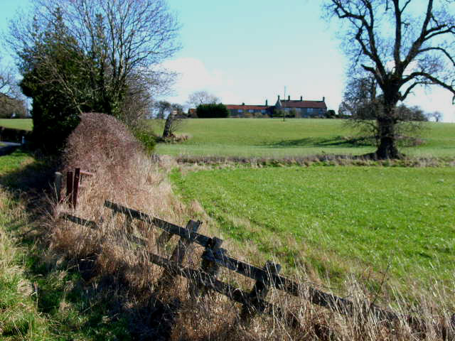
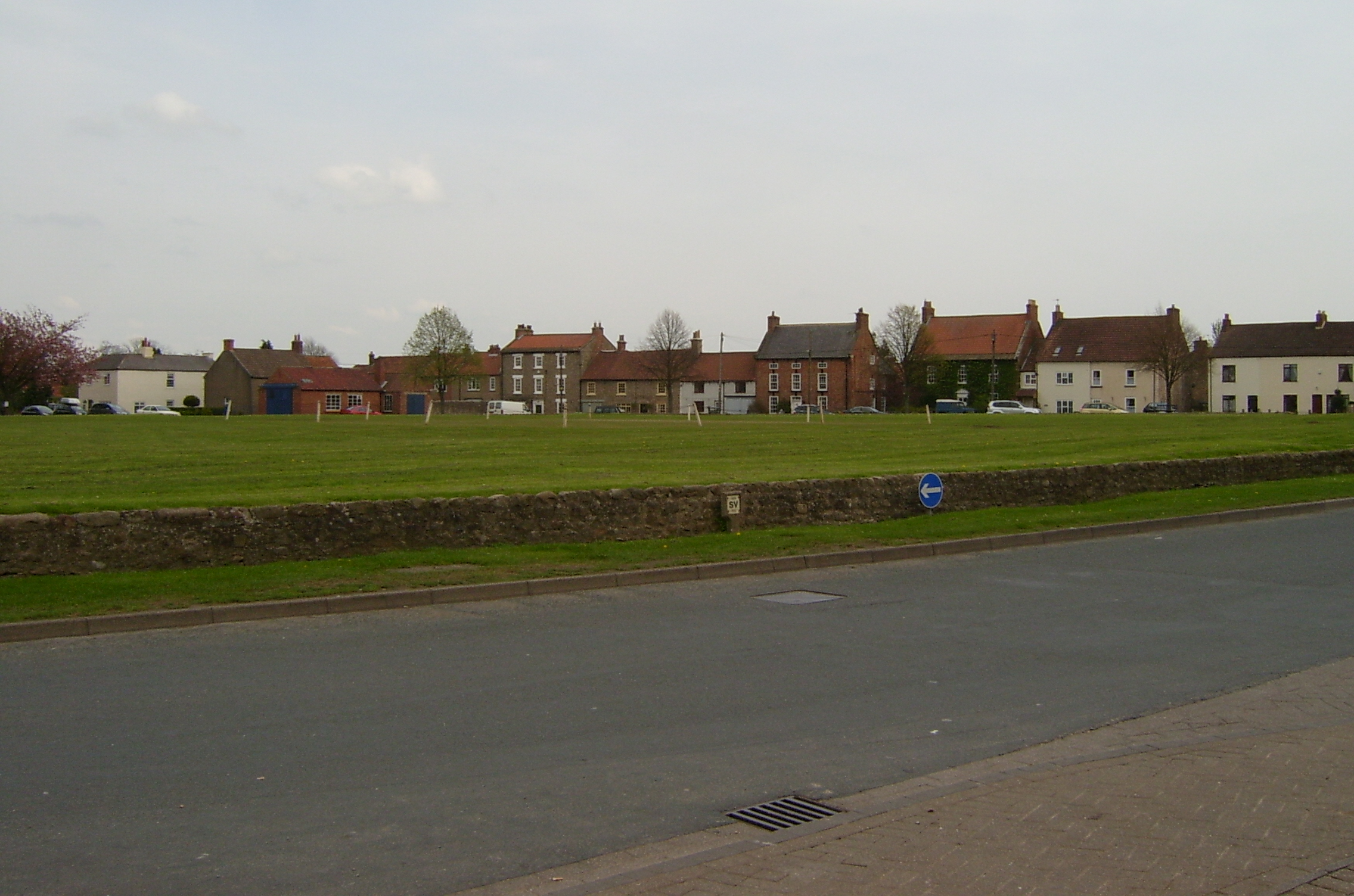
The village of Bolton-on-Swale is predominantly rural, characterized by its picturesque countryside and charming village atmosphere. It is surrounded by rolling hills and farmland, offering residents and visitors beautiful views and ample opportunities for outdoor activities such as hiking, cycling, and fishing in the River Swale.

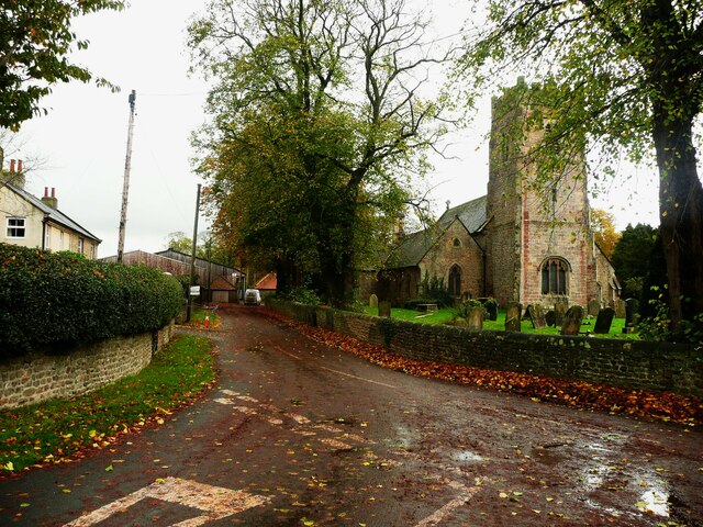
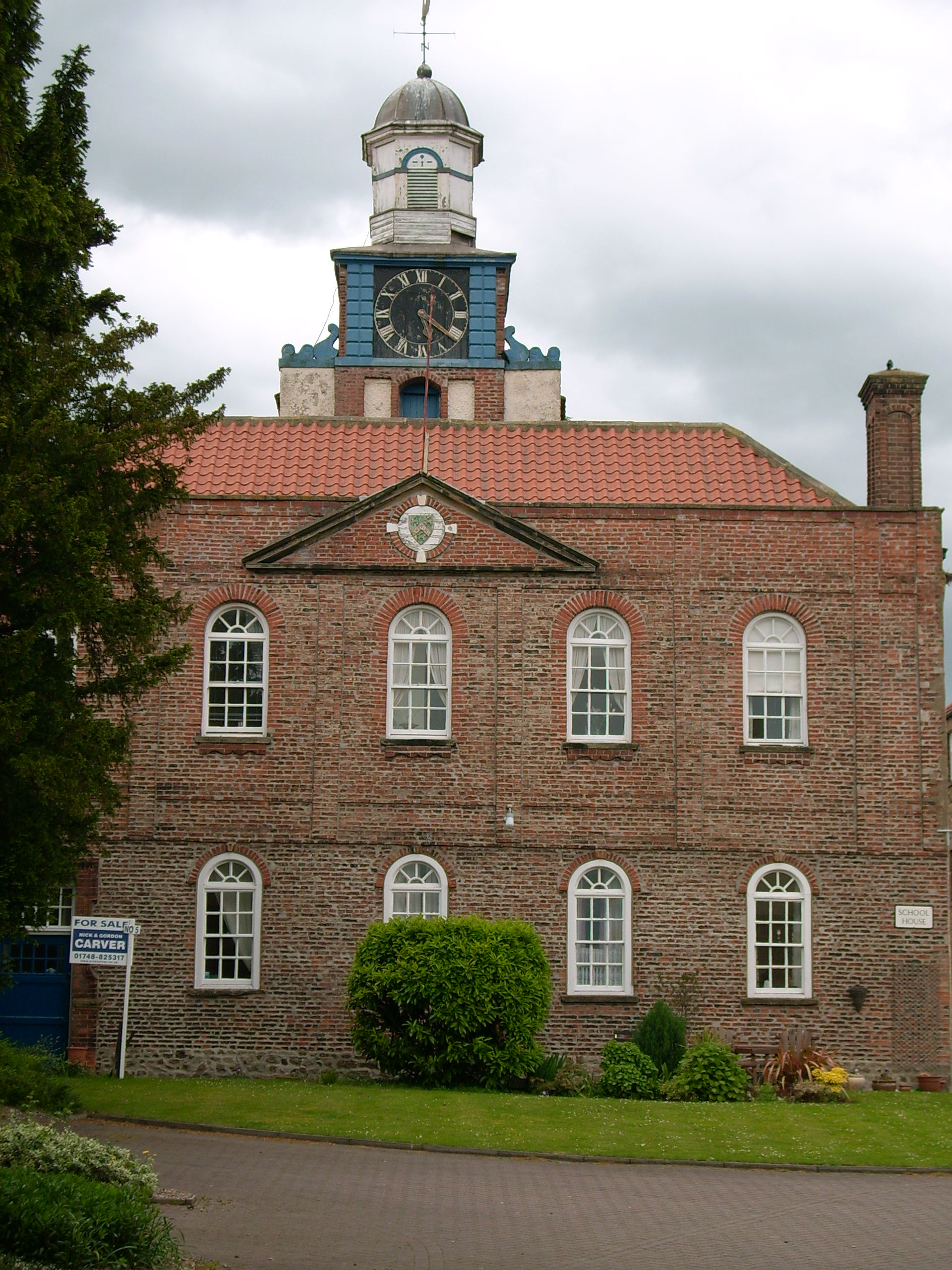
Historically, Bolton-on-Swale was known for its agricultural heritage, with farming being the main occupation of the local population. The village retains a strong sense of community, with a parish church, village hall, and a primary school providing essential services to residents.

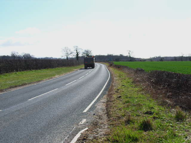
The parish is well-connected, with good road links to nearby towns and villages. The A167 road passes through Bolton-on-Swale, providing easy access to Northallerton and the A1 motorway, which connects the parish to major cities like Leeds and Newcastle.

Despite its small size, Bolton-on-Swale offers a peaceful and idyllic rural lifestyle, making it an attractive place to live for those seeking a tranquil setting away from the hustle and bustle of city life.

If you have any feedback on the listing, please let us know in the comments section below.

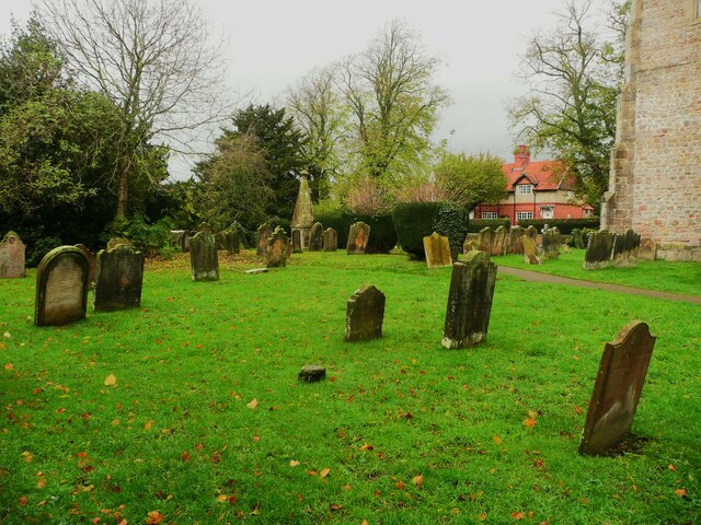
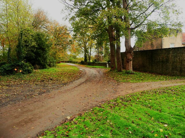
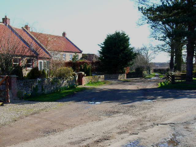
Bolton-on-Swale Images

Images are sourced within 2km of 54.387225/-1.609899 or Grid Reference SE2599. Thanks to Geograph Open Source API. All images are credited.

Dusk over Bolton-on-Swale Lake Taken from Back Lane, looking across the lake.
Further details from <span class="nowrap"><a title="https://www.ywt.org.uk/nature-reserves/bolton-swale-lake-nature-reserve" rel="nofollow ugc noopener" href="https://www.ywt.org.uk/nature-reserves/bolton-swale-lake-nature-reserve">Link</a><img style="margin-left:2px;" alt="External link" title="External link - shift click to open in new window" src="https://s1.geograph.org.uk/img/external.png" width="10" height="10"/></span>
Dusk over Bolton-on-Swale Lake
Taken from Back Lane, looking across the lake. Further details from LinkExternal link
Village pump, Bolton-on-Swale This dates from c.1900. according to the listing details.
Village pump, Bolton-on-Swale
This dates from c.1900. according to the listing details.
Defibrillator, Bolton-on-Swale This is hidden from the road through the village by the pillar that it is fastened to. Perhaps this is to avoid casual drive-by vandalism.
Defibrillator, Bolton-on-Swale
This is hidden from the road through the village by the pillar that it is fastened to. Perhaps this is to avoid casual drive-by vandalism.
Lane and St Mary's Church, Bolton-on-Swale St Mary's is a medieval church restored in 1857.
Lane and St Mary's Church, Bolton-on-Swale
St Mary's is a medieval church restored in 1857.
Grave headstones in the churchyard, Bolton-on-Swale A quick look did not find any Bolton graves.
Grave headstones in the churchyard, Bolton-on-Swale
A quick look did not find any Bolton graves.
Lane to Forest Manor, Bolton-on-Swale Taken from the eastern corner of the churchyard.
Lane to Forest Manor, Bolton-on-Swale
Taken from the eastern corner of the churchyard.
Scorton old Grammar School clock from Back Lane Dusktime lighting of the clock tower on the building that used to be part of the Grammar School, which closed in 1991 and is now houses.
More at <span class="nowrap"><a title="https://en.wikipedia.org/wiki/Scorton_Grammar_School" rel="nofollow ugc noopener" href="https://en.wikipedia.org/wiki/Scorton_Grammar_School">Link</a><img style="margin-left:2px;" alt="External link" title="External link - shift click to open in new window" src="https://s1.geograph.org.uk/img/external.png" width="10" height="10"/></span>
Scorton old Grammar School clock from Back Lane
Dusktime lighting of the clock tower on the building that used to be part of the Grammar School, which closed in 1991 and is now houses. More at LinkExternal link
RAF Scorton memorial plaque The plaque is in commemoration of WWII Raf Scorton (See wiki link <span class="nowrap"><a title="https://en.wikipedia.org/wiki/RAF_Scorton" rel="nofollow ugc noopener" href="https://en.wikipedia.org/wiki/RAF_Scorton">Link</a><img style="margin-left:2px;" alt="External link" title="External link - shift click to open in new window" src="https://s1.geograph.org.uk/img/external.png" width="10" height="10"/></span> ) which is now located within Scorton Lakes wildlife reserve, the disused Tilcon gravel quarries.
RAF Scorton memorial plaque
The plaque is in commemoration of WWII Raf Scorton (See wiki link LinkExternal link ) which is now located within Scorton Lakes wildlife reserve, the disused Tilcon gravel quarries.
Catterick St Annes Church Catterick
Catterick
St Annes Church Catterick
The "Henry Jenkins Memorial" In the churchyard at Bolton On Swale is this memorial of Old Henry, reputed to be 169 when he died.......I'll have some of whatever he ate.
The "Henry Jenkins Memorial"
In the churchyard at Bolton On Swale is this memorial of Old Henry, reputed to be 169 when he died.......I'll have some of whatever he ate.
Bolton-on-Swale Lake Nature reserve and bird hide, managed by Yorkshire Wildlife Trust
Bolton-on-Swale Lake
Nature reserve and bird hide, managed by Yorkshire Wildlife Trust
Coast to Coast Walk near Scorton The Coast to Coast Walk here follows a broad grassy strip just south of the B6271
Coast to Coast Walk near Scorton
The Coast to Coast Walk here follows a broad grassy strip just south of the B6271
South Ellerton
South Ellerton
Ellerton Park Leisure Lake
Cottages at Bolton-on-Swale
B6271 Catterick to Northallerton road South of Bolton-on-Swale
B6271 Catterick to Northallerton road
South of Bolton-on-Swale
Ellerton Hill Not very high, but quite a conspicuous rise above the floodplain of the river Swale
Ellerton Hill
Not very high, but quite a conspicuous rise above the floodplain of the river Swale
Fatten Hill Plantation
Show me another place!

Bolton-on-Swale is located at Grid Ref: SE2599 (Lat: 54.387225, Lng: -1.609899)

Division: North Riding

Administrative County: North Yorkshire

District: Richmondshire

Police Authority: North Yorkshire

What 3 Words

///headline.restriction.outbursts. Near Scorton, North Yorkshire

Related Wikis

Bolton-on-Swale

Bolton-on-Swale is a village and civil parish in the Richmondshire district of North Yorkshire, England. In 2015, North Yorkshire County Council estimated...

Scorton Grammar School

Scorton Grammar School is a former grammar school that was located in Scorton village, in Richmondshire, North Yorkshire, England. It was founded by Leonard...

Scorton, North Yorkshire

Scorton is a village and civil parish in the Richmondshire district of North Yorkshire, England. It is approximately 8 miles (13 km) north-west of the...
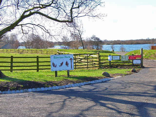
Ellerton-on-Swale

Ellerton-on-Swale or Ellerton (historically known as Ellerton-upon-Swale) is a small village and civil parish about a mile east of Catterick in the Richmondshire...

Battle of Catraeth

The Battle of Catraeth was fought around AD 600 between a force raised by the Gododdin, a Brythonic people of the Hen Ogledd or "Old North" of Britain...

Catterick, North Yorkshire

Catterick () is a village, civil parish and electoral ward in the Richmondshire district of North Yorkshire, England. Historically part of the North Riding...
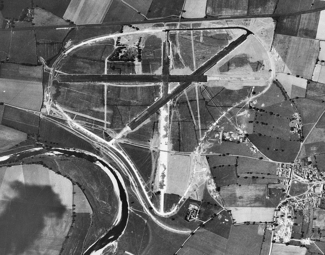
RAF Scorton

Royal Air Force Scorton or more simply RAF Scorton is a former Royal Air Force satellite station located next to the village of Scorton in North Yorkshire...

Church of St Anne, Catterick

The Church of St Anne is a parish church in the village of Catterick, North Yorkshire, England. The present church structure dates back to the early 15th...

Nearby Amenities

Located within 500m of 54.387225,-1.609899
Bolton-on-Swale
Is In: UK,England,Yorkshire,North Yorkshire,Swaledale
Place: hamlet
Wikidata: Q952952
Wikipedia: en:Bolton-on-Swale
Lat/Long: 54.3878725/-1.6133899
Barrier: stile
Foot: designated
Lat/Long: 54.386565/-1.6053757
Barrier: stile
Foot: designated
Lat/Long: 54.3847628/-1.6053951
Barrier: stile
Foot: designated
Lat/Long: 54.3873886/-1.6111358
Entrance: yes
Lat/Long: 54.3872736/-1.6129465
The Grange
Place: farm
Lat/Long: 54.3860132/-1.6115474
Henry Jenkins Memorial
Historic: memorial
Image: http://www.geograph.org.uk/photo/39446
Wikidata: Q26604453
Lat/Long: 54.3872794/-1.6133524
Drinking Water
Note: Cold drinks available in the church
Lat/Long: 54.3873296/-1.6129676
Bench
Lat/Long: 54.387296/-1.614148
Booth: K6
Removed Amenity: telephone
Lat/Long: 54.387107/-1.614081
Bus Stop
Naptan AtcoCode: 3200YNA90912
Naptan NaptanCode: 32090912
Lat/Long: 54.3871492/-1.6141078
Public Transport: stop_position
Lat/Long: 54.3871381/-1.6141752
Post Box
Image: https://commons.wikimedia.org/wiki/File:Village_Pump,_Bolton-on-Swale.jpg
Operator: Royal Mail
Operator Wikidata: Q638098
Post Box Mounting: brick_pillar
Post Box Type: wall
Lat/Long: 54.3879792/-1.614529
The data included in this document is from www.openstreetmap.org. The data is made available under ODbL.

Have you been to Bolton-on-Swale?

Leave your review of Bolton-on-Swale below (or comments, questions and feedback).