Bolnhurst and Keysoe

Civil Parish in Bedfordshire

England

Bolnhurst and Keysoe

Keysoe Row Baptist Chapel Picturesque Baptist Free Church, Grade II listed, described at this <span class="nowrap"><a title="http://www.britishlistedbuildings.co.uk/en-36230-baptist-free-church-bolnhurst-and-keysoe" rel="nofollow ugc noopener" href="http://www.britishlistedbuildings.co.uk/en-36230-baptist-free-church-bolnhurst-and-keysoe">Link</a><img style="margin-left:2px;" alt="External link" title="External link - shift click to open in new window" src="https://s1.geograph.org.uk/img/external.png" width="10" height="10"/></span>
Keysoe Row Baptist Chapel Credit: Jim Osley

The requested URL returned error: 429 Too Many Requests

If you have any feedback on the listing, please let us know in the comments section below.

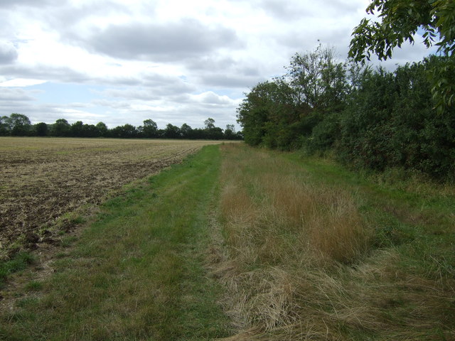
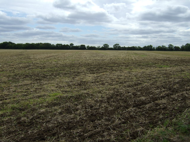
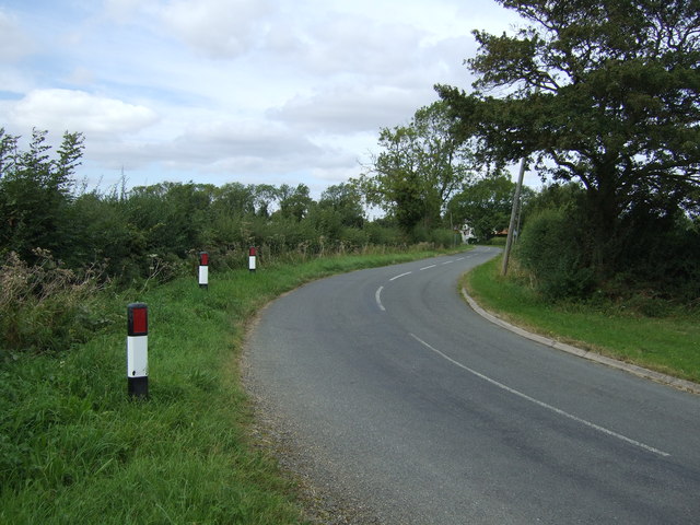
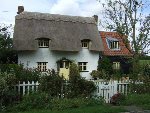
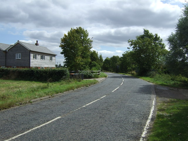
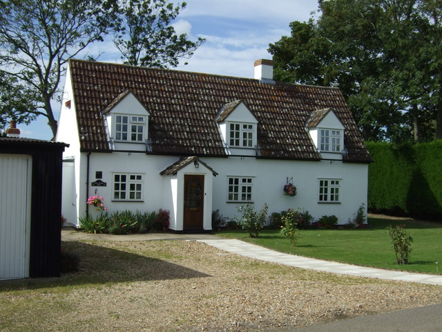
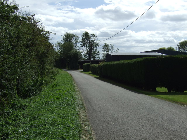
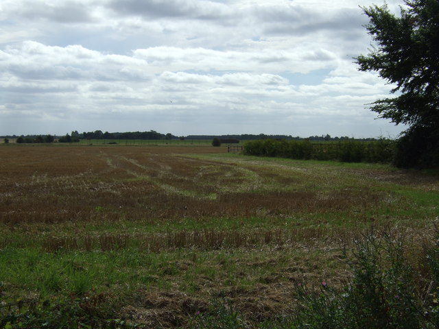
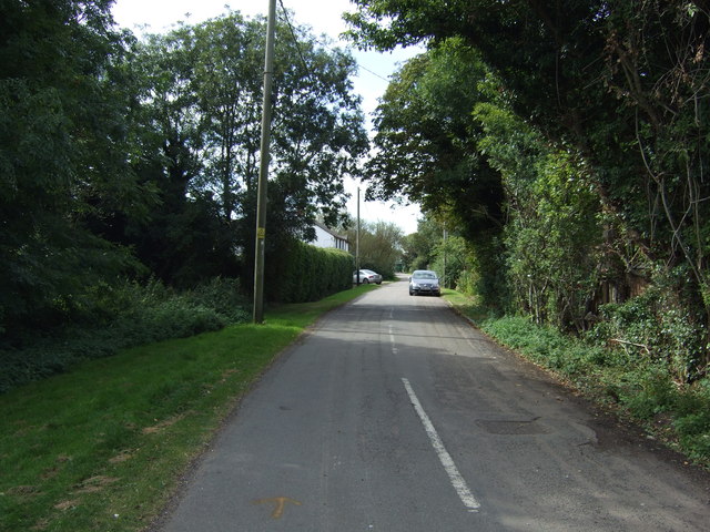
Bolnhurst and Keysoe Images

Images are sourced within 2km of 52.237182/-0.424599 or Grid Reference TL0761. Thanks to Geograph Open Source API. All images are credited.

Keysoe Row Baptist Chapel Picturesque Baptist Free Church, Grade II listed, described at this <span class="nowrap"><a title="http://www.britishlistedbuildings.co.uk/en-36230-baptist-free-church-bolnhurst-and-keysoe" rel="nofollow ugc noopener" href="http://www.britishlistedbuildings.co.uk/en-36230-baptist-free-church-bolnhurst-and-keysoe">Link</a><img style="margin-left:2px;" alt="External link" title="External link - shift click to open in new window" src="https://s1.geograph.org.uk/img/external.png" width="10" height="10"/></span>
Keysoe Row Baptist Chapel
Picturesque Baptist Free Church, Grade II listed, described at this LinkExternal link
Incised stone, Keysoe Row Baptist Chapel An unattributed quotation incorporated into the wall of the Keysoe Row Baptist Chapel.
Incised stone, Keysoe Row Baptist Chapel
An unattributed quotation incorporated into the wall of the Keysoe Row Baptist Chapel.
Footpath towards Wood End Farm
Farmland, London End
Lane towards Keysoe Row
Thatched Cottage, Keysoe Row East, Keysoe Row
Keysoe Row Baptist Chapel
Maitland Cottage On Kimbolton Road.
Maitland Cottage
On Kimbolton Road.
Kimbolton Road (B660) Heading south.
Kimbolton Road (B660)
Heading south.
Farmland near Keysoe Row
Road heading west to Hatch End
Thatched cottage, Hatch End
Footpath to Nethercroft
Rose Cottage Farm house, Hatch End, Keysoe Hatch End
Hatch Lane Hatch End.
Hatch Lane
Hatch End.
Farmland, Hatch End
Farmland, Hatch End
Keysoe Row West
Keysoe Row West
St Marys Church, Keysoe
Show me another place!

Bolnhurst and Keysoe is located at Grid Ref: TL0761 (Lat: 52.237182, Lng: -0.424599)

Unitary Authority: Bedford

Police Authority: Bedfordshire

What 3 Words

///challenge.mirroring.earphones. Near Colmworth, Bedfordshire

Nearby Locations

Bolnhurst and Keysoe

Related Wikis

Keysoe Row

Keysoe Row is a hamlet located in the Borough of Bedford in Bedfordshire, England. The settlement is located to the south of the village of Keysoe, and...

Bolnhurst and Keysoe

Bolnhurst and Keysoe is a civil parish in the Borough of Bedford in Bedfordshire, England. According to the 2001 census it had a population of 734, reducing...

Church of St Mary the Virgin, Keysoe

Church of St Mary the Virgin is a Grade I listed church in Keysoe, Bedfordshire, England. It became a listed building on 13 July 1964. Features of interest...

Bedford Aerodrome

Bedford Aerodrome (ICAO: EGBF) is located 5 nautical miles (9.3 km; 5.8 mi) north of Bedford, in Bedfordshire, England. The aerodrome which is privately...

Nearby Amenities

Located within 500m of 52.237182,-0.424599
Hatch End
Place: locality
Source: OS_OpenData_StreetView
Lat/Long: 52.2368039/-0.4290967
Power: pole
Lat/Long: 52.2380726/-0.4210009
Power: pole
Lat/Long: 52.2389512/-0.4207863
Power: pole
Lat/Long: 52.2400125/-0.4205136
Power: pole
Lat/Long: 52.2400364/-0.4193112
The data included in this document is from www.openstreetmap.org. The data is made available under ODbL.

Have you been to Bolnhurst and Keysoe?

Leave your review of Bolnhurst and Keysoe below (or comments, questions and feedback).