Bolam

Civil Parish in Durham

England

Bolam

Sheep field beside Countryview Campsite Sheep in a field next to the campsite in Bolam.
Sheep field beside Countryview Campsite Credit: DS Pugh

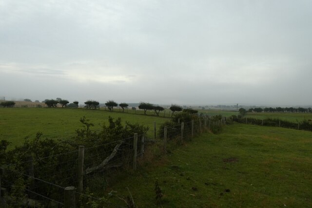
Bolam is a civil parish located in County Durham, England. It is situated approximately 6 miles south-west of the town of Darlington and covers an area of around 4 square miles. The parish is bordered by the River Tees to the east and the A1(M) motorway to the west, providing convenient transportation links.

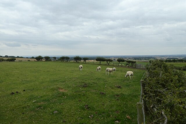
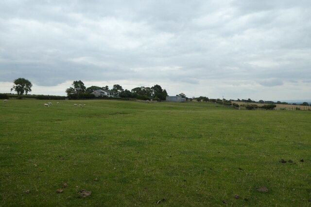
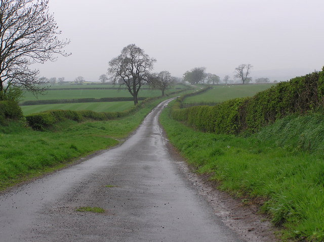
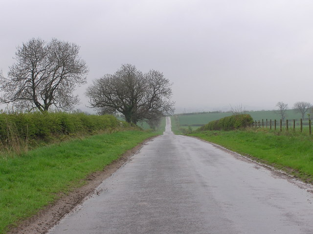
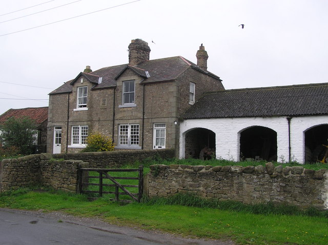
The population of Bolam is relatively small, with around 200 residents according to the latest census data. The area is predominantly rural, characterized by picturesque countryside and rolling hills. The landscape is dotted with charming farmhouses, cottages, and agricultural fields, reflecting the area's agricultural heritage.

Bolam is home to Bolam Hall, a historic country house that dates back to the 14th century. The hall is a Grade II listed building and is set within beautiful parkland, which is open to the public. The surrounding countryside offers plenty of opportunities for outdoor activities such as walking, cycling, and birdwatching, attracting nature enthusiasts and tourists alike.

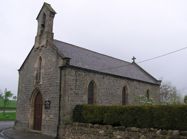
The parish also features a small church, St. Andrew's Church, which serves as a place of worship for the local community. The church has a rich history and architectural features dating back to the medieval period.

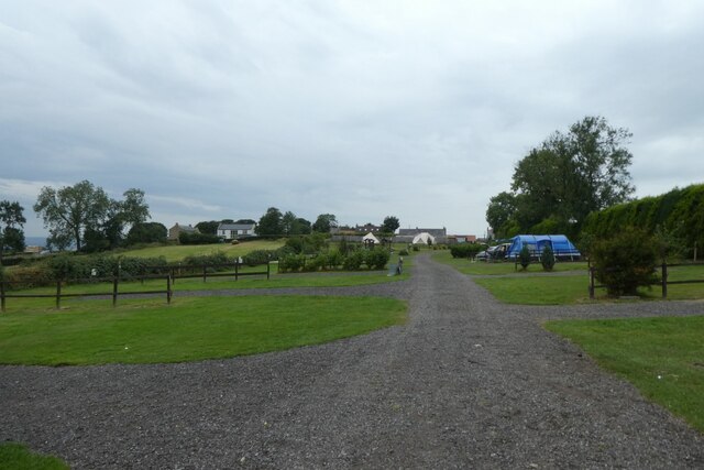
In terms of amenities, Bolam has limited facilities, with no shops or schools within the parish boundaries. However, the nearby town of Darlington provides residents with access to a wider range of services, including schools, healthcare facilities, and shopping centers.

Overall, Bolam offers a tranquil and idyllic setting for those seeking a peaceful countryside lifestyle, while still benefiting from the amenities of nearby towns.

If you have any feedback on the listing, please let us know in the comments section below.
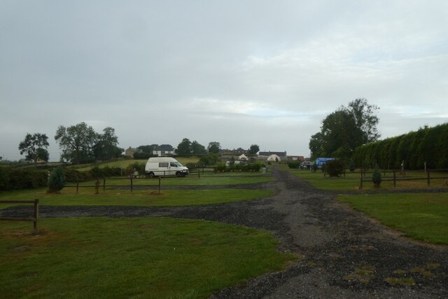
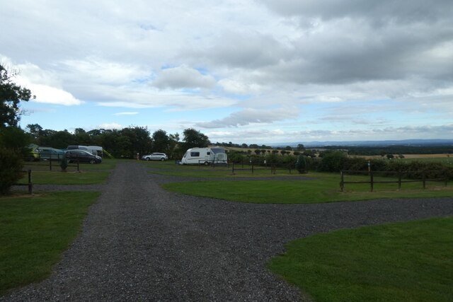
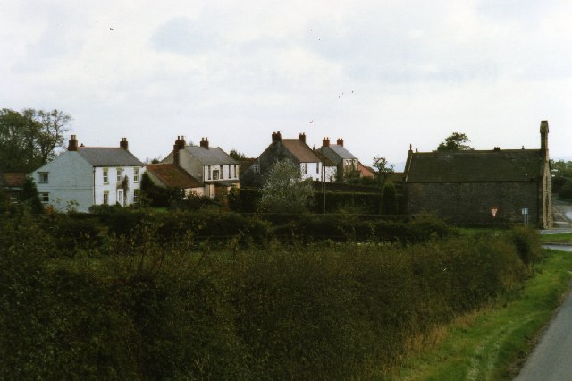
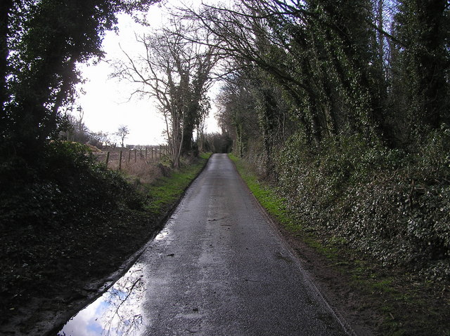
Bolam Images

Images are sourced within 2km of 54.595246/-1.699663 or Grid Reference NZ1922. Thanks to Geograph Open Source API. All images are credited.

Sheep field beside Countryview Campsite Sheep in a field next to the campsite in Bolam.
Sheep field beside Countryview Campsite
Sheep in a field next to the campsite in Bolam.
Field beside Brownside Lane Looking across a field of sheep and horses from Countryview Campsite.
Field beside Brownside Lane
Looking across a field of sheep and horses from Countryview Campsite.
Countryview Campsite Looking along the service road through the campsite behind the pub.
Countryview Campsite
Looking along the service road through the campsite behind the pub.
Field beside Countryview Campsite Looking across a field to the south of the campsite in the early morning with a mist hanging over the valley.
Field beside Countryview Campsite
Looking across a field to the south of the campsite in the early morning with a mist hanging over the valley.
Morning at Countryview Campsite Looking across part of the Countryview Campsite.
Morning at Countryview Campsite
Looking across part of the Countryview Campsite.
Countryview campsite Looking across part of the campsite behind the public house.
Countryview campsite
Looking across part of the campsite behind the public house.
Leg's Cross
Leg's Cross
Bolam village
Bolam village
Kiln Lane, Killerby
Kiln Lane, Killerby
St. Andrew's Church : Bolam Parish Church of Heighington : Built 1835.
St. Andrew's Church : Bolam
Parish Church of Heighington : Built 1835.
Stobhill  Lane Looking West from Stob Hill to Hindberries.
Stobhill Lane
Looking West from Stob Hill to Hindberries.
Lane Looking South from Stob Hill; Bolam to Morton Tinmouth.
Lane
Looking South from Stob Hill; Bolam to Morton Tinmouth.
Morton Tinmouth : Raby Estates Houses ; Dated 1907 The village of Morton Tinmouth was much larger in the medieval period (1066-1540). It has now shrunken in size, and consists of North and East Farm.
Morton Tinmouth : Raby Estates Houses ; Dated 1907
The village of Morton Tinmouth was much larger in the medieval period (1066-1540). It has now shrunken in size, and consists of North and East Farm.
Quarry House : Morton  Tinmouth Typical whitewashed buildings of the Raby Estates.
Quarry House : Morton Tinmouth
Typical whitewashed buildings of the Raby Estates.
East Leaside Farm. Off lane from Morton Tinmouth to Hilton.
East Leaside Farm.
Off lane from Morton Tinmouth to Hilton.
Lane to Bolam  Quarry The quarry became a land-fill site, now closed.
Lane to Bolam Quarry
The quarry became a land-fill site, now closed.
Lutterington Whin Lutterington Whin from the end of Lutterington Green Lane
Lutterington Whin
Lutterington Whin from the end of Lutterington Green Lane
The Jomatt Herd How many tears were shed that day?
The Jomatt Herd
How many tears were shed that day?
Show me another place!

Bolam is located at Grid Ref: NZ1922 (Lat: 54.595246, Lng: -1.699663)

Unitary Authority: County Durham

Police Authority: Durham

What 3 Words

///sweetened.testing.nesting. Near Ingleton, Co. Durham

Related Wikis

Bolam, County Durham

Bolam is a small village located in County Durham, England. The village population (including Hilton and Morton Tinmouth) at the 2011 census was 209. It...

Morton Tinmouth

Morton Tinmouth is a hamlet of a few farms in County Durham, England. It is situated a few miles to the north-west of Darlington close to the village of...

Legs Cross

Legs Cross is an Anglo-Saxon cross in the parish of Bolam, County Durham, England, about 4 miles (6.4 km) north of Piercebridge on the Pilgrims' Way (the...

Royal Oak, County Durham

Royal Oak is a village in County Durham, in England. It is situated to the north west of Darlington. == References ==

Bildershaw

Bildershaw is a village in County Durham, in England. It is situated on the A68 road between Darlington and West Auckland. Bildershaw is primarily an agricultural...

Killerby, County Durham

Killerby is a village in the borough of Darlington and the ceremonial county of County Durham, England. It is situated a few miles to the west of Darlington...

Ingleton, County Durham

Ingleton is a village and civil parish in County Durham, England. The population of the parish (which includes Headlam and Langton) as taken at the 2011...

Houghton-le-Side

Houghton-le-Side is a small village in the borough of Darlington and the ceremonial county of County Durham, England. It is situated a few miles to the...

Nearby Amenities

Located within 500m of 54.595246,-1.699663
Bolam
Place: hamlet
Source: NPE
Wikidata: Q4938900
Wikipedia: en:Bolam, County Durham
Lat/Long: 54.5974012/-1.694015
Bus Stop
White House Farm
Naptan AtcoCode: 13007601B
Naptan Bearing: NE
Naptan CommonName: White House Farm
Naptan Indicator: north east bound
Naptan Landmark: opposite White House Farm
Naptan NaptanCode: durdwpmd
Naptan Street: Brownside Lane
Naptan Verified: no
Source: naptan_import
Lat/Long: 54.5971911/-1.6964451
Bus Stop
White House Farm
Naptan AtcoCode: 13007601F
Naptan Bearing: SW
Naptan CommonName: White House Farm
Naptan Indicator: south west bound
Naptan Landmark: Outside White House Farm
Naptan NaptanCode: durdwpmg
Naptan Street: Brownside Lane
Naptan Verified: no
Source: naptan_import
Lat/Long: 54.5971282/-1.6964146
Power: pole
Lat/Long: 54.5963858/-1.6939048
Power: pole
Lat/Long: 54.5961169/-1.6952728
Power: pole
Lat/Long: 54.5957906/-1.6966474
Power: pole
Lat/Long: 54.5954876/-1.6979376
Power: pole
Lat/Long: 54.5949002/-1.7003703
Power: pole
Lat/Long: 54.5945754/-1.7017584
Power: pole
Lat/Long: 54.5939748/-1.7027079
Power: pole
Lat/Long: 54.593434/-1.7035568
Power: pole
Lat/Long: 54.5928443/-1.7044808
Power: pole
Lat/Long: 54.5922382/-1.7054276
Bench
Lat/Long: 54.5964884/-1.6993722
The data included in this document is from www.openstreetmap.org. The data is made available under ODbL.

Have you been to Bolam?

Leave your review of Bolam below (or comments, questions and feedback).