Blubberhouses

Civil Parish in Yorkshire Harrogate

England

Blubberhouses

Farmland around Pace Gate Farm The road is the old A59, now bypassed by a new road just out of the photograph on the right. It's hard to imagine all the traffic and big trucks going along this narrow road.
Farmland around Pace Gate Farm Credit: Malcolm Street

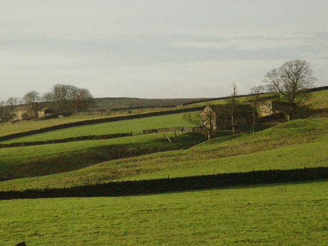
Blubberhouses is a civil parish located in the county of Yorkshire, England. Situated within the picturesque Nidderdale Area of Outstanding Natural Beauty, the parish covers an area of approximately 15 square miles. It is positioned at the southern edge of the Yorkshire Dales National Park, offering stunning views of the surrounding countryside.

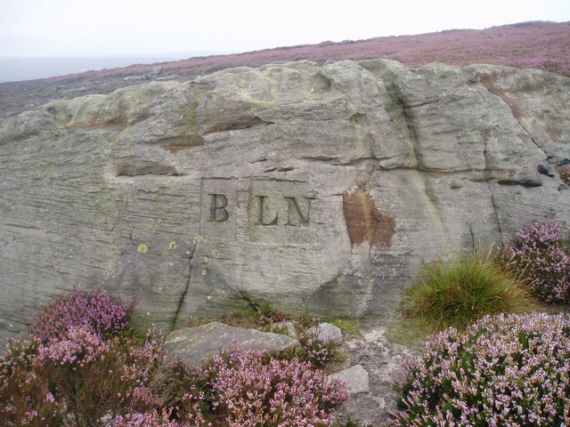
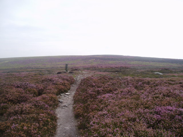
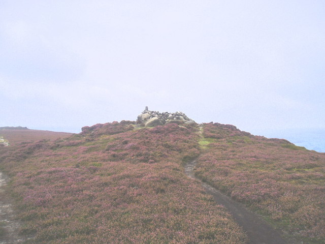
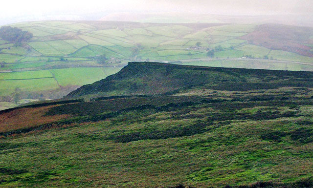
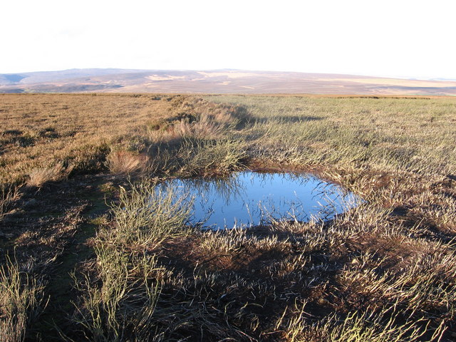
The parish is named after the nearby Blubberhouses Moor, which is a prominent feature of the landscape. The moorland is characterized by vast stretches of heather and peat, providing a habitat for a variety of wildlife species, including birds such as curlews and golden plovers.

Blubberhouses is a rural area with a small population, mainly consisting of scattered farmsteads and a few residential properties. The parish is primarily agricultural, with farming and livestock rearing being the main economic activities. The fertile farmland supports a range of agricultural practices, including sheep and cattle farming.

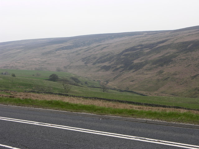
The village of Blubberhouses itself is a small settlement located on the A59 road, which connects Harrogate to Skipton. The village has a charming, traditional feel, with a few houses, a church, and a pub. The area attracts visitors who come to enjoy the tranquility, natural beauty, and opportunities for outdoor activities such as hiking, cycling, and fishing.

Overall, Blubberhouses is a quiet and idyllic civil parish nestled in the heart of the Yorkshire countryside, providing a peaceful retreat for both residents and visitors alike.

If you have any feedback on the listing, please let us know in the comments section below.

Blubberhouses Images

Images are sourced within 2km of 53.983058/-1.821656 or Grid Reference SE1154. Thanks to Geograph Open Source API. All images are credited.

Farmland around Pace Gate Farm The road is the old A59, now bypassed by a new road just out of the photograph on the right. It's hard to imagine all the traffic and big trucks going along this narrow road.
Farmland around Pace Gate Farm
The road is the old A59, now bypassed by a new road just out of the photograph on the right. It's hard to imagine all the traffic and big trucks going along this narrow road.
A59 on Kex Gill Moor
Badger Gill Beck and Farm With Bent Hill Farm in the distance (left).
Badger Gill Beck and Farm
With Bent Hill Farm in the distance (left).
Kexgill Farm
Kexgill Farm
Milepost on Gawk Hall Ridge Stone pillar that indicates that Ilkley is 3 miles away, and Ripon is an indefinite distance as the writing has faded
Milepost on Gawk Hall Ridge
Stone pillar that indicates that Ilkley is 3 miles away, and Ripon is an indefinite distance as the writing has faded
Boundary marker The boundary between the parishes of Beamsley and Langbar Nesfield marked on this large boulder instead of a normal stone boundary marker
Boundary marker
The boundary between the parishes of Beamsley and Langbar Nesfield marked on this large boulder instead of a normal stone boundary marker
Bramberry Hill Footpath leading through heather to Bramberry Hill with parish boundary marker.
Bramberry Hill
Footpath leading through heather to Bramberry Hill with parish boundary marker.
Boundary stone Boundary stone at Catholic Gate, near Round Hill
Boundary stone
Boundary stone at Catholic Gate, near Round Hill
Track on Gawk Hill Ridge Track leading from Catholic Gate towards Gawk Hill Gate and on to Lippersley Pike.
Track on Gawk Hill Ridge
Track leading from Catholic Gate towards Gawk Hill Gate and on to Lippersley Pike.
Detail of Mile Post on Gawk Hall Ridge 12 miles to Ripon. Ilkley 3 miles
Detail of Mile Post on Gawk Hall Ridge
12 miles to Ripon. Ilkley 3 miles
The Old Pike Cairn on the Beamsley Beacon Ridge.
The Old Pike
Cairn on the Beamsley Beacon Ridge.
Black Hill Farm
Black Hill Farm
Little Crag, Beamsley Moor Looking North to Little Crag with Summerscales and A59 beyond.
Little Crag, Beamsley Moor
Looking North to Little Crag with Summerscales and A59 beyond.
Beamsley Moor A line of tall heather runs into the distance to the left of the pool,
missed by two different areas of burning.
Beamsley Moor
A line of tall heather runs into the distance to the left of the pool, missed by two different areas of burning.
Beamsley Moor A GPS makes it easy to navigate off the footpath!
Beamsley Moor
A GPS makes it easy to navigate off the footpath!
Round Hill
Round Hill
A59 and valley near Blubberhouses Looking across the A59 to the valley of Kex Gill with the low crags of High Combs beyond.
A59 and valley near Blubberhouses
Looking across the A59 to the valley of Kex Gill with the low crags of High Combs beyond.
Footpath, stile and gate leading to Lippersley Ridge
Show me another place!

Blubberhouses is located at Grid Ref: SE1154 (Lat: 53.983058, Lng: -1.821656)

Division: West Riding

Administrative County: North Yorkshire

District: Harrogate

Police Authority: North Yorkshire

What 3 Words

///producers.lentil.huddled. Near Addingham, West Yorkshire

Related Wikis

Hazlewood with Storiths

Hazlewood with Storiths is a civil parish in the Craven district of North Yorkshire, England. The population of the civil parish as of the 2011 census...

Hazlewood

Hazlewood is a hamlet in the English county of North Yorkshire. Hazlewood lies to the east of the town of Skipton by 7.5 miles (12.1 km) and is located...

Kex Gill Bypass

The Kex Gill Bypass is a future stretch of A-road across Kex Gill Moor to Blubberhouses in North Yorkshire, England. The route is part of the A59 road...
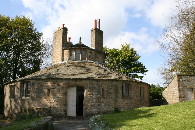
Beamsley Hospital

Beamsley Hospital is an Almshouse building at Beamsley, near Skipton in North Yorkshire, and founded in 1593 by the Lady Margaret Russell, the Countess...

Bolton Abbey

Bolton Abbey in Wharfedale, North Yorkshire, England, takes its name from the ruins of the 12th-century Augustinian monastery now known as Bolton Priory...
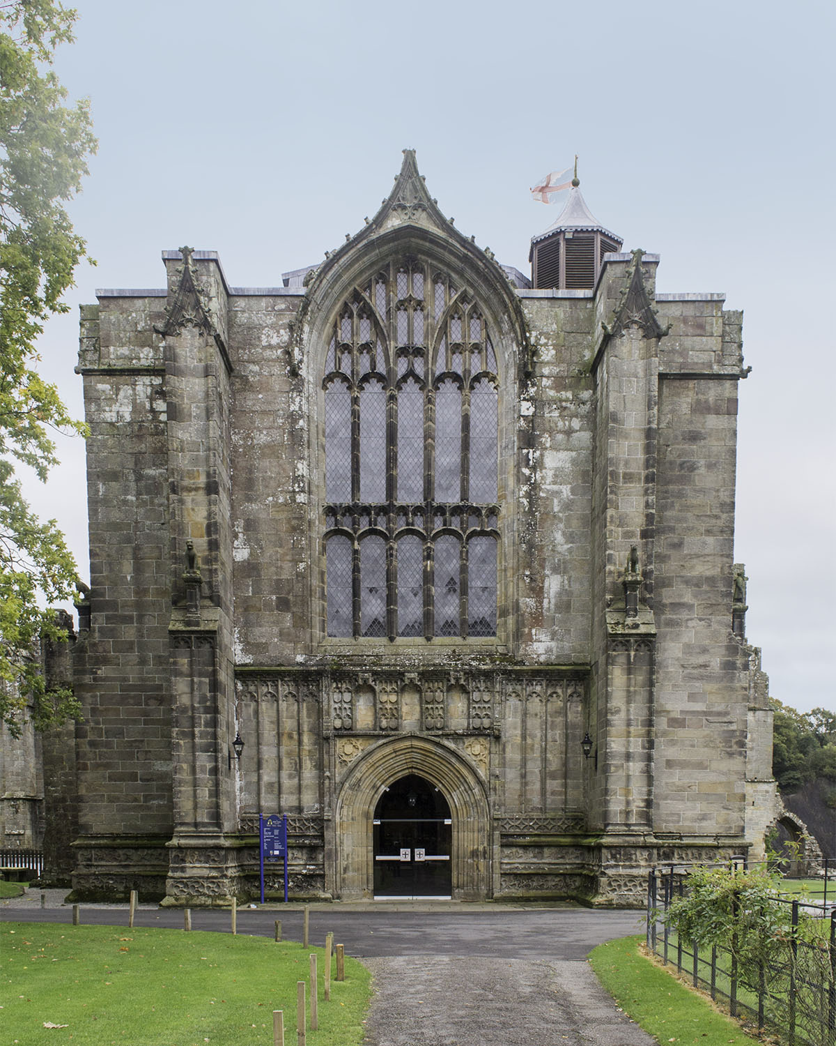
Bolton Priory

Bolton Priory, whose full title is The Priory Church of St Mary and St Cuthbert, Bolton Abbey, is a Grade I listed parish church of the Church of England...

Cavendish memorial fountain

The Cavendish memorial fountain is a drinking fountain erected in 1886 at Bolton Abbey, North Yorkshire, England as a memorial to Lord Frederick Cavendish...

Beamsley

Beamsley is a village and civil parish in the Craven district of North Yorkshire, England. It is just within the boundary of the Yorkshire Dales National...

Nearby Amenities

Located within 500m of 53.983058,-1.821656
Green Shaw Well
Source: OS sheet 152, publ 1854
Lat/Long: 53.9840594/-1.8167823
High Combs
Natural: fell
Source: npe
Lat/Long: 53.9815314/-1.8265849
Fell Side
Natural: fell
Source: OS 1:25k
Lat/Long: 53.9813818/-1.818213
Historic: boundary_stone
Source: NLS-OS-1st_Series
Lat/Long: 53.9821097/-1.8203241
Historic: boundary_stone
Source: NLS-OS-1st_Series
Lat/Long: 53.9811002/-1.8192083
Historic: boundary_stone
Source: NLS-OS-1st_Series
Lat/Long: 53.9806333/-1.8186289
The data included in this document is from www.openstreetmap.org. The data is made available under ODbL.

Have you been to Blubberhouses?

Leave your review of Blubberhouses below (or comments, questions and feedback).