Blisland
Civil Parish in Cornwall
England
Blisland

Blisland is a civil parish located in the county of Cornwall, in the southwestern part of England. Situated on the edge of Bodmin Moor, it is a rural and picturesque village known for its natural beauty and historical charm. Blisland is also a part of the Cornwall Area of Outstanding Natural Beauty, further enhancing its appeal.
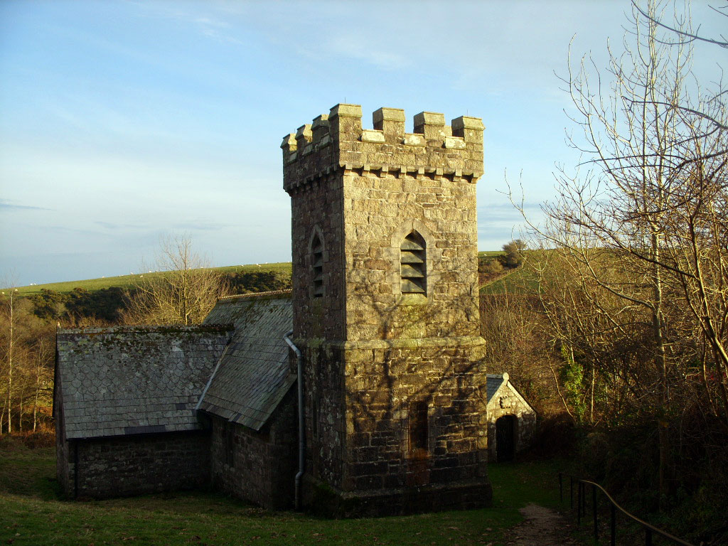
The village is home to a small population, with around 500 residents. It is characterized by its traditional stone-built cottages, which lend a quaint and idyllic atmosphere. The centerpiece of the village is the Blisland Parish Church, dedicated to St. Protus and St. Hyacinth, a beautiful place of worship that dates back to the 12th century. The church is renowned for its stunning medieval stained glass windows and intricate woodwork.
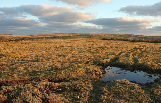
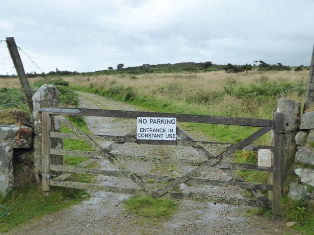
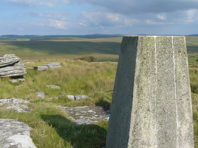
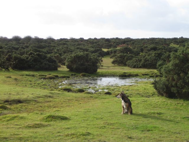
Blisland is surrounded by lush green fields, rolling hills, and winding country lanes, making it a perfect destination for outdoor enthusiasts. The area offers numerous walking and hiking trails, including the popular Blisland to St. Breward circular walk, which provides breathtaking views of the countryside.
The village also boasts a traditional pub, The Blisland Inn, which is a hub for locals and visitors alike. It offers a warm and welcoming atmosphere, serving delicious food and local ales.
Overall, Blisland, Cornwall is a charming and tranquil village, offering a peaceful retreat for those seeking a break from the hustle and bustle of city life. With its natural beauty, historic architecture, and friendly community, it is a hidden gem in the heart of Cornwall.
If you have any feedback on the listing, please let us know in the comments section below.
Blisland Images
Images are sourced within 2km of 50.536602/-4.643966 or Grid Reference SX1274. Thanks to Geograph Open Source API. All images are credited.


Blisland is located at Grid Ref: SX1274 (Lat: 50.536602, Lng: -4.643966)
Unitary Authority: Cornwall
Police Authority: Devon & Cornwall
What 3 Words
///polygraph.exams.developed. Near Helland, Cornwall
Nearby Locations
Related Wikis
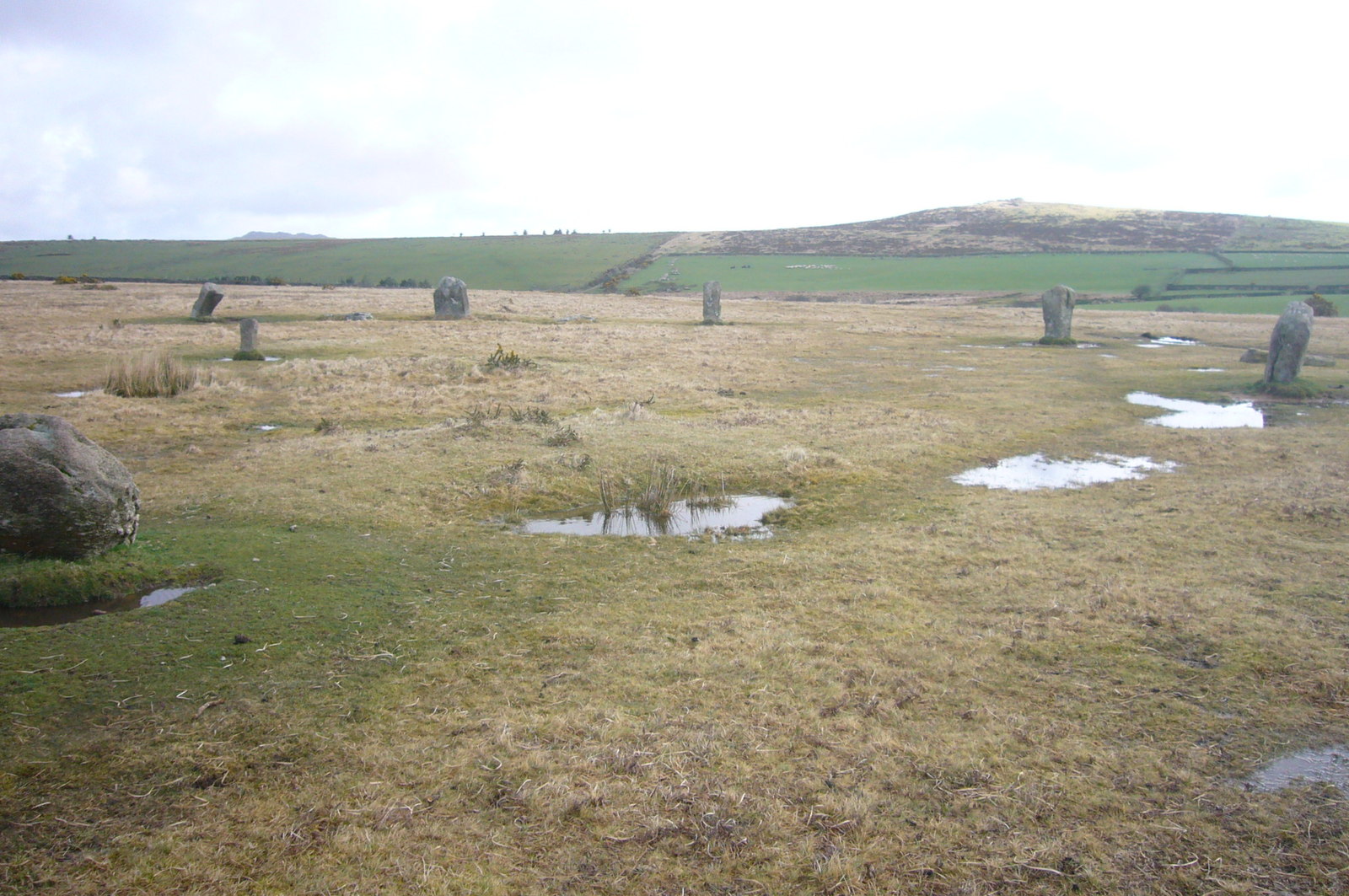
Trippet stones
The Trippet stones or Trippet stones circle is a stone circle located on Manor Common in Blisland, 9 kilometres (5.6 mi) north northeast of Bodmin on Bodmin...

Bradford, Cornwall
Bradford is a hamlet in the county of Cornwall, England, UK, 10.3 km north-northeast of the town of Bodmin, north of the A30 road. Bradford is in the valley...
Temple, Cornwall
Temple (Cornish: Tempel) is a small village and former civil parish, now in the parish of Blisland, on Bodmin Moor, in the Cornwall district, in the ceremonial...

Stripple stones
The Stripple stones (or Stripple stones circle) is a henge and stone circle located on the south slope of Hawk's Tor, Blisland, 10 kilometres (6.2 mi)...
Hawk's Tor, Blisland
Hawk's Tor is a hill and tor on Bodmin Moor in Cornwall, England, UK. Its summit is 307 metres (1,007 ft) above sea level.The tor, which is in the civil...

Jubilee Rock
Jubilee Rock is a Grade II listed large rock on Pendrift Downs in the parish of Blisland, Cornwall, England. On the north side is carved the Falmouth...
Pendrift
Pendrift is a hamlet north of Blisland in Cornwall, England. == References ==

Blisland
Blisland (Cornish: Blyslann) is a village and civil parish in Cornwall, England, United Kingdom. It is approximately five miles northeast of Bodmin. According...
Nearby Amenities
Located within 500m of 50.536602,-4.643966Have you been to Blisland?
Leave your review of Blisland below (or comments, questions and feedback).