Blindbothel

Civil Parish in Cumberland Allerdale

England

Blindbothel

Minor road towards Deanscales
Minor road towards Deanscales Credit: Steven Brown

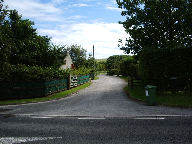
Blindbothel is a civil parish located in the county of Cumberland, England. Situated in the picturesque Lake District National Park, it covers an area of approximately 25 square kilometers. The parish is home to a small population, mainly comprising of rural communities and scattered dwellings.

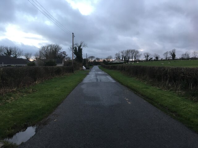
The landscape of Blindbothel is characterized by rolling hills, lush green valleys, and serene forests, making it a popular destination for nature enthusiasts and hikers. The River Cocker flows through the parish, adding to its natural beauty. The area is known for its stunning views, with several vantage points offering panoramic vistas of the surrounding countryside.

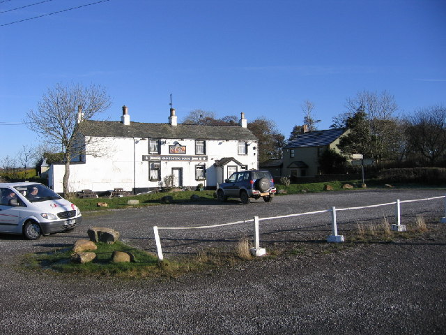
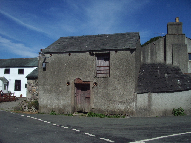
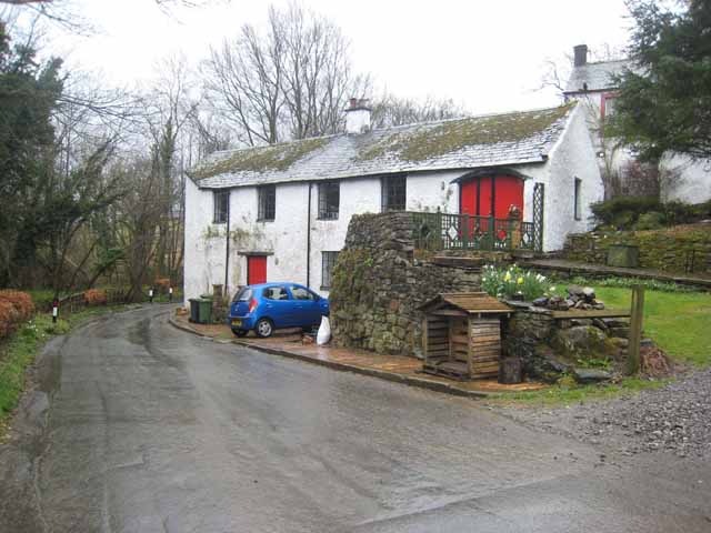
Historically, Blindbothel has been primarily an agricultural area, with farming playing a significant role in the local economy. The fertile land supports a variety of crops and livestock, contributing to the area's agricultural heritage. In recent years, there has been a diversification of the local economy, with an increase in tourism and recreational activities.

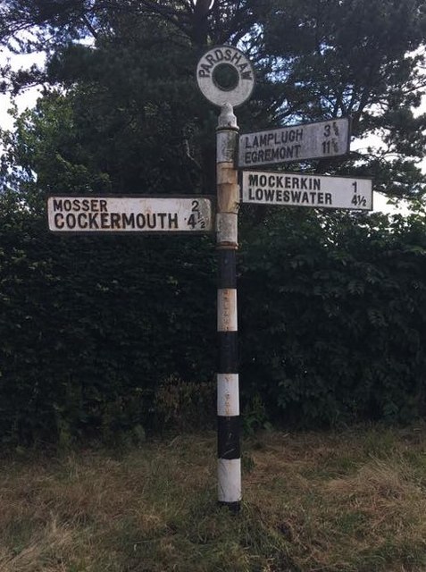
The parish lacks major towns or commercial centers, but it is located near the bustling market town of Cockermouth, which provides amenities such as shops, schools, and healthcare facilities. Additionally, there are several charming villages nearby that offer amenities and services to the local community.

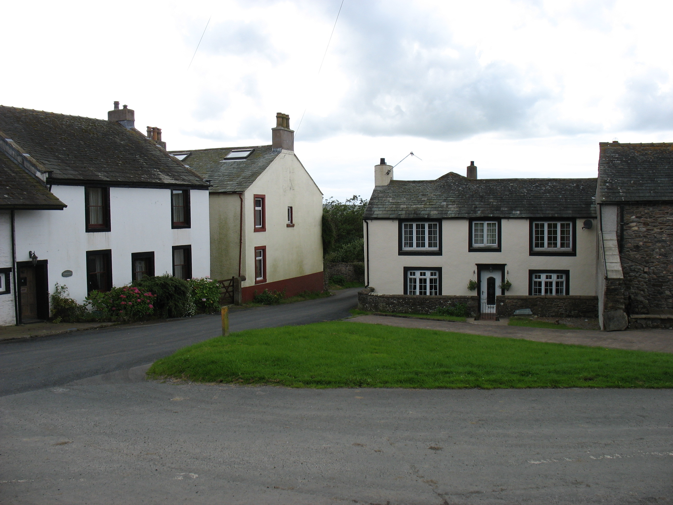
Blindbothel is a tranquil and idyllic area, offering a peaceful escape from the hustle and bustle of city life. With its natural beauty and rich agricultural heritage, it is a place that attracts visitors seeking to immerse themselves in the rural charm of the Lake District.

If you have any feedback on the listing, please let us know in the comments section below.

Blindbothel Images

Images are sourced within 2km of 54.617688/-3.384133 or Grid Reference NY1025. Thanks to Geograph Open Source API. All images are credited.

Minor road towards Deanscales
Trig pillar on Crag Hill
Old Direction Sign - Signpost Annulus finial - 3 arms; Cumberland named halo by the UC road, in parish of Dean (Allerdale District), crossroads at West end of Pardshaw, on verge against hedge.

To be surveyed

Milestone Society National ID: CU_NY0924
Old Direction Sign - Signpost
Annulus finial - 3 arms; Cumberland named halo by the UC road, in parish of Dean (Allerdale District), crossroads at West end of Pardshaw, on verge against hedge. To be surveyed Milestone Society National ID: CU_NY0924
The road to Pardshaw from Peppercoats Brow (road)
The Old Posting House near Deanscales
Southward Cottage, Pardshaw
A field above Pardshaw
"Sunny Corner" Pardshaw. it seemed appropriate to take this photo because of the sunshine and the name of the house.
"Sunny Corner" Pardshaw.
it seemed appropriate to take this photo because of the sunshine and the name of the house.
Leegate. This is on the roadside Cockermouth to Egremont road.
Leegate.
This is on the roadside Cockermouth to Egremont road.
Country lane in farmland. By the straightness and the trees I suspect this may have been a drovers road in the old days.
Country lane in farmland.
By the straightness and the trees I suspect this may have been a drovers road in the old days.
The Posting House Public House the Posting house used to be "The Beehive".
The Posting House Public House
the Posting house used to be "The Beehive".
Eaglesfield Cragg Farm Now empty the old farm house seems to occupy prime position but it has been replaced by a new one around the corner.
Eaglesfield Cragg Farm
Now empty the old farm house seems to occupy prime position but it has been replaced by a new one around the corner.
Old Chapel, Pardshaw
Old building next too Sunny Corner, Pardshaw The roof seemed to be in good repair, the door and window have seen better days
Old building next too Sunny Corner, Pardshaw
The roof seemed to be in good repair, the door and window have seen better days
The Old Posting House, Deanscales It was still open for business
The Old Posting House, Deanscales
It was still open for business
Entrance to Lane head
Leegate The ornate entrance is no longer used, a new not so ornate one has been made 100m  to the left of the house
Leegate
The ornate entrance is no longer used, a new not so ornate one has been made 100m to the left of the house
Road side barn in Pardshaw
Show me another place!

Blindbothel is located at Grid Ref: NY1025 (Lat: 54.617688, Lng: -3.384133)

Administrative County: Cumbria

District: Allerdale

Police Authority: Cumbria

What 3 Words

///reported.cowering.adults. Near Cockermouth, Cumbria

Nearby Locations

Blindbothel Pardshaw Hall

Related Wikis

Mosser

Mosser is a village and former civil parish, 26 miles (42 km) south west of Carlisle, now in the parish of Blindbothel, in Allerdale district, in the county...

Deanscales

Deanscales is a hamlet in the county of Cumbria, England. Nearby settlements include the village of Dean and the town of Cockermouth. Deanscales is on...

Brandlingill

Brandlingill is a village in Cumbria, England.

Blindbothel

Blindbothel is a village and civil parish in Cumbria, England. It is on the edge of the Lake District National Park, and is a couple of miles south of...

Eaglesfield, Cumbria

Eaglesfield is a village in the parish of Dean in Cumberland in Cumbria, England. It is near the A5086 road, 2.5 miles (4 km) southwest of Cockermouth...

Mockerkin

Mockerkin is a settlement in the English county of Cumbria. Historically part of Cumberland, it is situated just outside the Lake District National Park...

Fellbarrow

Fellbarrow is a low hill in the north west of the English Lake District. It is not far from the town of Cockermouth, near to Loweswater and can most easily...

Allerdale

Allerdale was a non-metropolitan district of Cumbria, England, with borough status. Its council was based in Workington and the borough has a population...

Nearby Amenities

Located within 500m of 54.617688,-3.384133
Post Box
Post Box Type: lamp
Ref: CA13 42
Lat/Long: 54.61657/-3.3897043
Booth: KX100
Covered: booth
Disused Amenity: telephone
Man Made: telephone_box
Lat/Long: 54.616574/-3.3896392
Pardshaw Hall
Place: hamlet
Lat/Long: 54.6158035/-3.3899276
Bus Stop
Quaker Meeting House
Bus: yes
Naptan AtcoCode: 090002240072
Naptan Bearing: N
Naptan BusStopType: CUS
Naptan CommonName: Quaker Meeting House
Naptan Indicator: o/s
Naptan Landmark: hostel
Naptan NaptanCode: cumadpta
Naptan Street: No name
Naptan Verified: no
Public Transport: platform
Source: naptan_import
Lat/Long: 54.6164673/-3.3897583
Bus Stop
Pardshaw Hall
Bus: yes
Naptan AtcoCode: 090002243070
Naptan Bearing: S
Naptan BusStopType: CUS
Naptan CommonName: Pardshaw Hall
Naptan Indicator: o/s
Naptan Landmark: Quaker Meeting House
Naptan NaptanCode: cumadptw
Naptan Street: No name
Naptan Verified: no
Public Transport: platform
Source: naptan_import
Lat/Long: 54.6164325/-3.3896642
Power: tower
Lat/Long: 54.6191164/-3.3790482
Toot Well
Natural: spring
Lat/Long: 54.6148892/-3.3850231
Pardshaw Crag
Place: locality
Lat/Long: 54.6183852/-3.3902691
Power: tower
Lat/Long: 54.6202301/-3.3887273
Power: tower
Lat/Long: 54.6198095/-3.3850714
Power: tower
Lat/Long: 54.6194052/-3.3815579
Power: pole
Lat/Long: 54.6176263/-3.3887143
Power: pole
Lat/Long: 54.6167026/-3.3881765
Power: pole
Lat/Long: 54.6157208/-3.3876012
Power: pole
Lat/Long: 54.6150687/-3.3874523
The data included in this document is from www.openstreetmap.org. The data is made available under ODbL.

Have you been to Blindbothel?

Leave your review of Blindbothel below (or comments, questions and feedback).