Bleadon
Civil Parish in Somerset
England
Bleadon

Bleadon is a civil parish located in the county of Somerset, England. It is situated approximately 3 miles southwest of Weston-super-Mare and covers an area of around 4.5 square miles. The parish is bordered by the Bristol Channel to the north, and the River Axe and the villages of Lympsham and Hutton to the south.
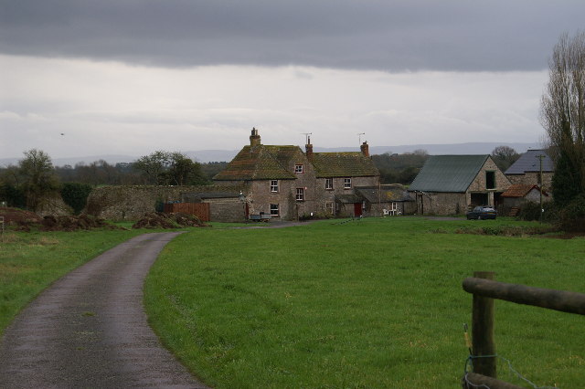
The village of Bleadon itself is a picturesque settlement with a population of around 1,000 residents. It has a rich history, dating back to the Domesday Book of 1086, and is known for its charming mix of architectural styles, including traditional thatched cottages and Georgian houses.
The local economy of Bleadon is predominantly agricultural, with farming being a significant industry in the area. The fertile soil and favorable climate make it suitable for a variety of crops, including cereals, vegetables, and fruit.
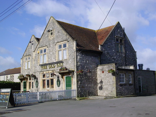
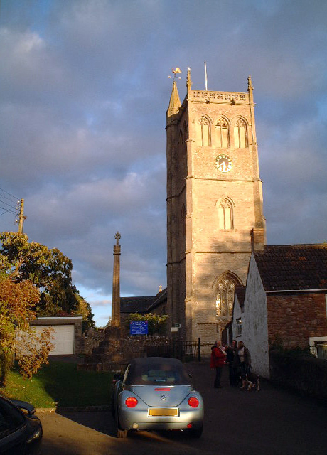
Bleadon is also home to several amenities and services for its residents, including a primary school, a village hall, and a church. The parish has a strong community spirit and is known for its various social events and activities, which bring residents together.
In terms of natural surroundings, Bleadon offers stunning views of the Mendip Hills and the Bristol Channel. The area is a haven for wildlife enthusiasts, with many footpaths and nature reserves that provide opportunities for walking, birdwatching, and exploring the countryside.
Overall, Bleadon is a charming and vibrant civil parish, offering a mix of rural tranquility, historical significance, and a close-knit community.
If you have any feedback on the listing, please let us know in the comments section below.
Bleadon Images
Images are sourced within 2km of 51.309993/-2.951506 or Grid Reference ST3357. Thanks to Geograph Open Source API. All images are credited.


Bleadon is located at Grid Ref: ST3357 (Lat: 51.309993, Lng: -2.951506)
Unitary Authority: North Somerset
Police Authority: Avon and Somerset
What 3 Words
///hoped.passage.command. Near Bleadon, Somerset
Nearby Locations
Related Wikis
Bleadon
Bleadon is a village and civil parish in Somerset, England. It is about 4 miles (6.4 km) south of Weston-super-Mare and, according to the 2021 census,...

Purn Hill
Purn Hill (grid reference ST332573) is a 6.1 hectare biological Site of Special Scientific Interest near the village of Bleadon, Somerset, notified in...

Bleadon Hill
Bleadon Hill (grid reference ST351574) is a 13.52 hectare geological Site of Special Scientific Interest just north of the village of Bleadon, North Somerset...
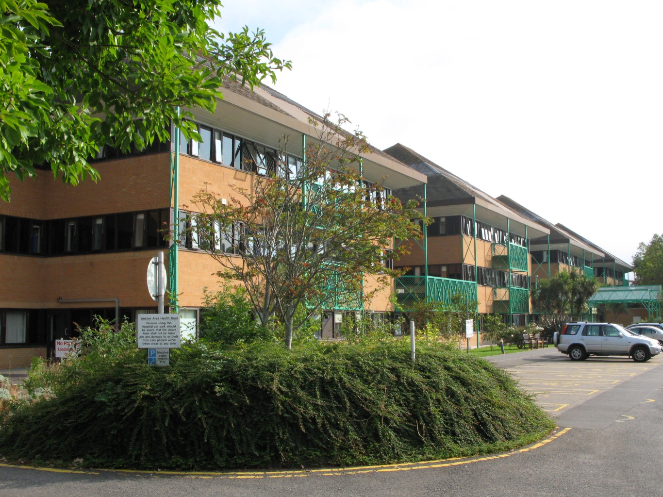
Weston General Hospital
Weston General Hospital is an NHS district general hospital in the town of Weston-super-Mare, Somerset, England, operated by University Hospitals Bristol...

Church of Saint Mary The Virgin, Hutton
The Anglican Church of Saint Mary The Virgin in Hutton within the English county of Somerset was built in the 15th century. It is a Grade II* listed building...
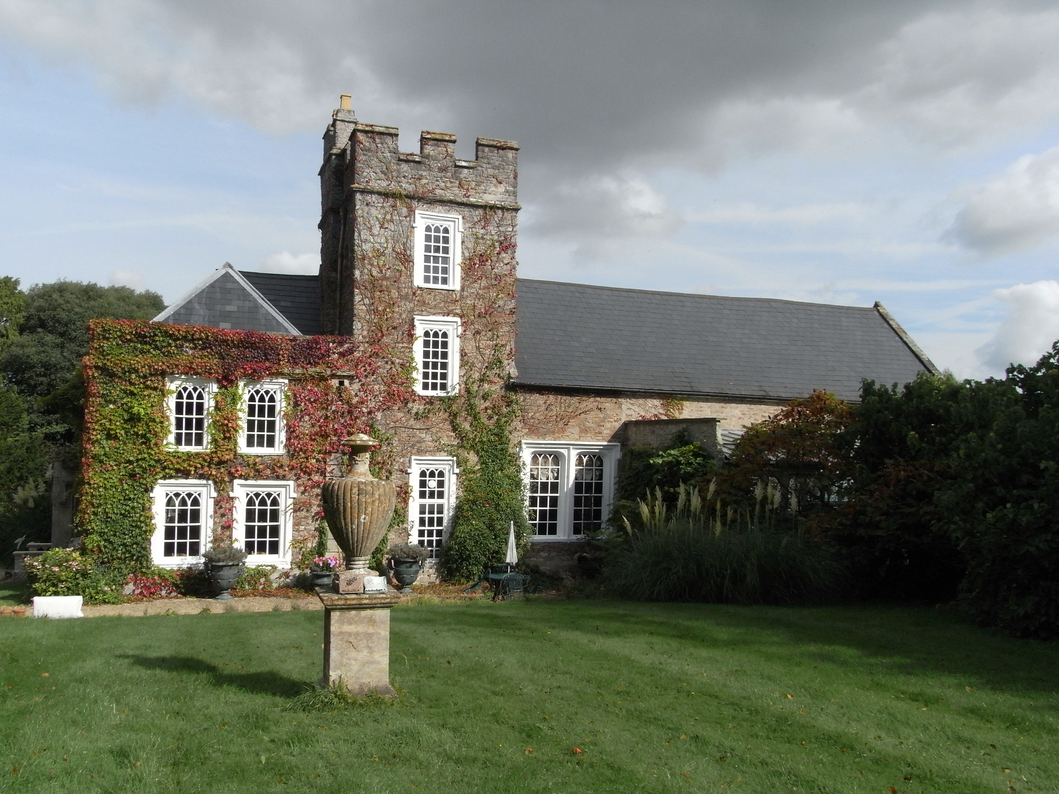
Hutton Court
Hutton Court is a country house at Hutton, Somerset, England, built in the 15th century as a manor house. It is Grade II* listed on the National Heritage...

Hutton, Somerset
Hutton is a village and civil parish in Somerset, England. The parish, which has a population of 2,582, is within the unitary authority of North Somerset...

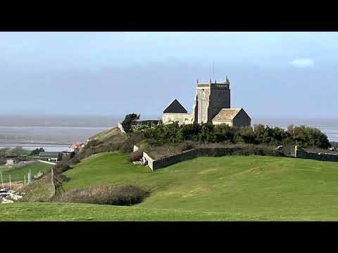
Uphill Cliff
Uphill Cliff (grid reference ST318583) is a 19.8 hectare biological Site of Special Scientific Interest near the village of Uphill, North Somerset, although...
Related Videos
Uphill Hill Nature Reserve - silk artist on the road in search of inspiration
Yesterday we had a bracing but glorious walk at Uphill Hill (I feel the second hill is a bit superfluous really ) in Weston Super ...
A walk at Uphill Part 1
This medieval harbour and nature walk is a fantastic place to exercise our companions. Rocky has all the room to stretch his long ...
Uphill Village, Weston-super-Mare - Filmed with the Mavic Mini & GoPro Hero 7 Black
This is my first ever time flying a drone and decided to give it a quick test flight today in the village of Uphill. Honestly guys this ...

Wayacre Drove Bleadon Weston Super Mare BS23 4TZ HD 4k Video 📹 Creating
Vlog No Copyright 1 Hour Song: LiQWYD - Vacation (Vlog No Copyright Music) Music provided by 1 Hour Vlog No Copyright ...
Nearby Amenities
Located within 500m of 51.309993,-2.951506Have you been to Bleadon?
Leave your review of Bleadon below (or comments, questions and feedback).