Manor Orchard
Downs, Moorland in Somerset
England
Manor Orchard

Manor Orchard is a picturesque rural area located in Somerset, England. Situated amidst the rolling Downs and Moorland, it offers a breathtaking setting that is adored by nature enthusiasts and those seeking tranquility.
The landscape of Manor Orchard is characterized by gently sloping hills, green meadows, and lush orchards that stretch as far as the eye can see. The area is renowned for its apple orchards, which produce some of the finest cider apples in the region. The scent of blooming apple blossoms fills the air during spring, creating a truly enchanting ambiance.
The Downs, which surround Manor Orchard, provide stunning panoramic views of the surrounding countryside. These grassy hills are perfect for leisurely walks, picnics, or simply admiring the beauty of the rolling landscape. The Moorland, on the other hand, offers a more rugged and wild atmosphere, with its heather-covered hills and vast expanses of open space.
Wildlife thrives in Manor Orchard, making it a haven for nature lovers. Visitors can spot a variety of bird species, including skylarks and buzzards, soaring through the sky. The area is also home to deer, rabbits, and other small mammals that can be seen grazing in the meadows or darting between the trees.
With its idyllic countryside setting, Manor Orchard offers a peaceful retreat from the hustle and bustle of city life. Whether it's exploring the orchards, hiking in the Downs, or immersing oneself in the beauty of the Moorland, this serene and picturesque area of Somerset is sure to captivate all who visit.
If you have any feedback on the listing, please let us know in the comments section below.
Manor Orchard Images
Images are sourced within 2km of 51.310135/-2.9546562 or Grid Reference ST3357. Thanks to Geograph Open Source API. All images are credited.


Manor Orchard is located at Grid Ref: ST3357 (Lat: 51.310135, Lng: -2.9546562)
Unitary Authority: North Somerset
Police Authority: Avon and Somerset
What 3 Words
///newly.gossiped.rainy. Near Bleadon, Somerset
Nearby Locations
Related Wikis

Purn Hill
Purn Hill (grid reference ST332573) is a 6.1 hectare biological Site of Special Scientific Interest near the village of Bleadon, Somerset, notified in...
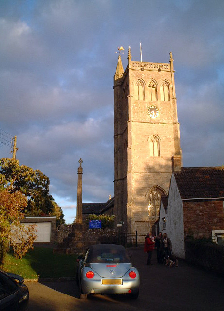
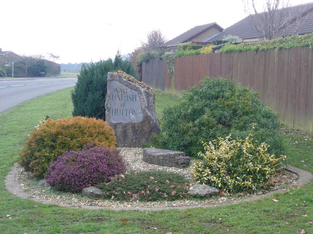
Bleadon
Bleadon is a village and civil parish in Somerset, England. It is about 4 miles (6.4 km) south of Weston-super-Mare and, according to the 2021 census,...

Bleadon Hill
Bleadon Hill (grid reference ST351574) is a 13.52 hectare geological Site of Special Scientific Interest just north of the village of Bleadon, North Somerset...
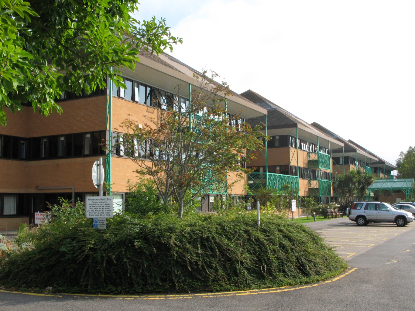
Weston General Hospital
Weston General Hospital is an NHS district general hospital in the town of Weston-super-Mare, Somerset, England, operated by University Hospitals Bristol...
Nearby Amenities
Located within 500m of 51.310135,-2.9546562Have you been to Manor Orchard?
Leave your review of Manor Orchard below (or comments, questions and feedback).