Blaxhall

Civil Parish in Suffolk East Suffolk

England

Blaxhall

Stubble field near Blaxhall
Stubble field near Blaxhall Credit: JThomas

Blaxhall is a civil parish located in the county of Suffolk, England. Situated approximately 10 miles northeast of the county town of Ipswich, the village is nestled within the Suffolk Coastal District. Blaxhall covers an area of around 10 square miles and is home to a population of approximately 400 residents.

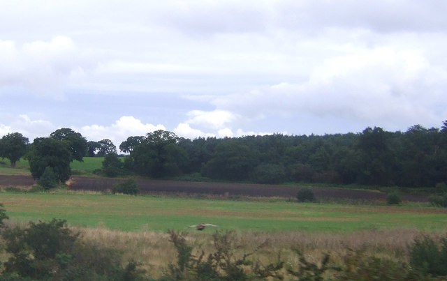
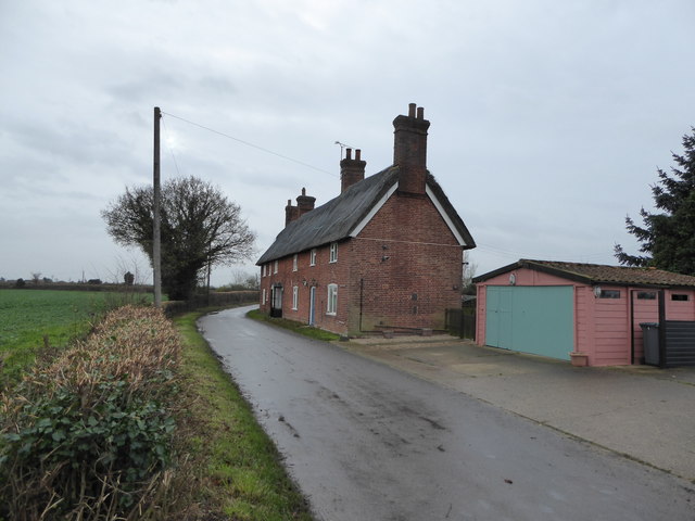
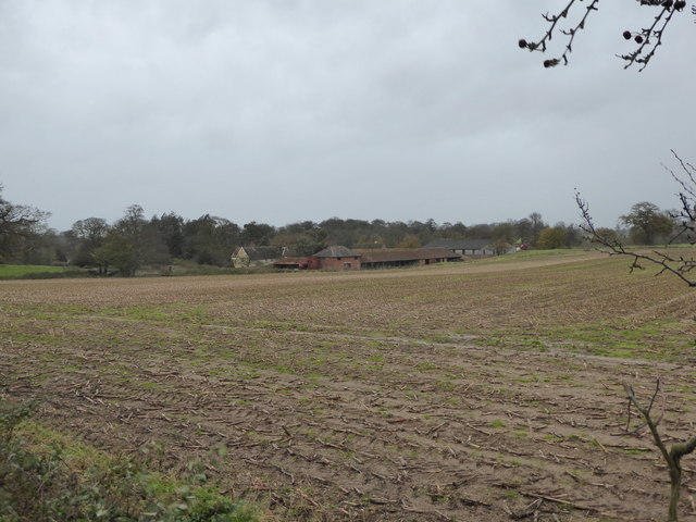
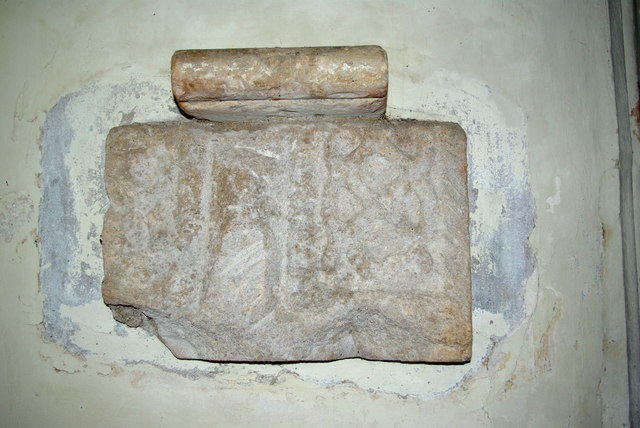
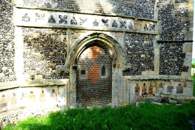
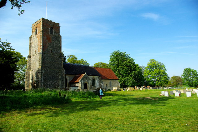
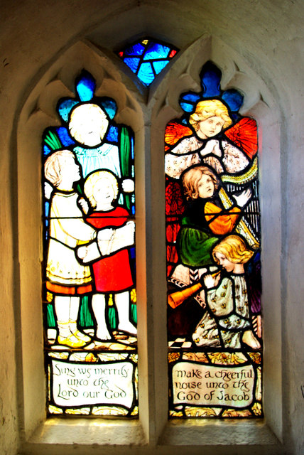
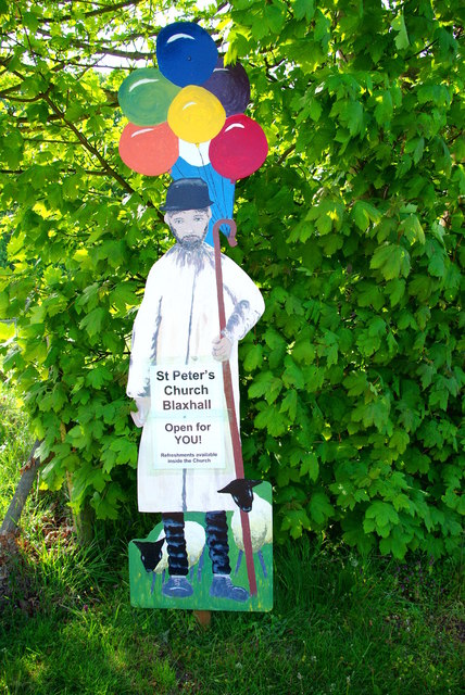
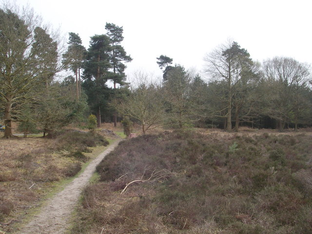
The village is renowned for its picturesque countryside and traditional rural charm. It is surrounded by rolling farmland, meadows, and woodland, offering residents and visitors a tranquil and scenic environment. Blaxhall is well-known for its historic buildings, including the St Peter's Church, which dates back to the 12th century and serves as a prominent landmark in the village.

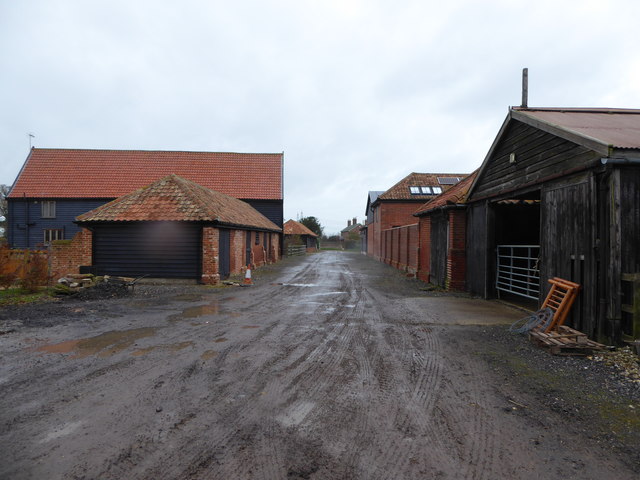
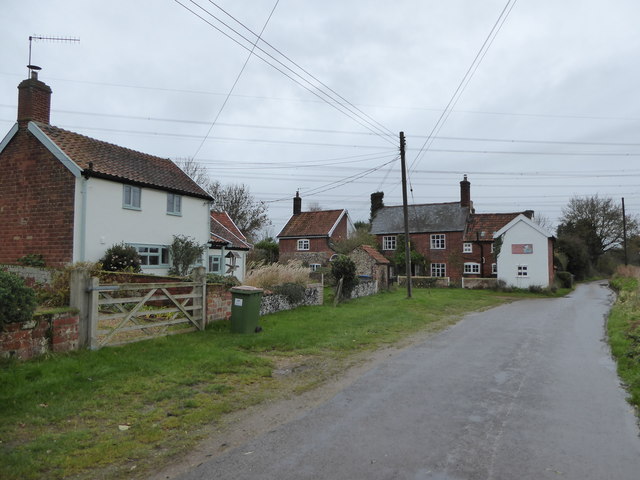
The community in Blaxhall is close-knit, with a strong sense of local identity and pride. The village has a range of amenities to cater to the needs of its residents, including a village hall, a primary school, a public house, and a popular village green. The village also hosts various events throughout the year, such as the Blaxhall Vintage Vehicle Rally and the Blaxhall Ship Inn Beer Festival, which attract visitors from near and far.

Blaxhall's location within the Suffolk Coastal District offers easy access to the nearby towns of Aldeburgh and Woodbridge, known for their coastal attractions and historical landmarks. The village is also well-connected by road, with the A12 passing just a few miles to the west, providing convenient links to Ipswich and beyond.

Overall, Blaxhall is a charming and idyllic village, offering a peaceful and rural lifestyle amidst the beautiful countryside of Suffolk.

If you have any feedback on the listing, please let us know in the comments section below.

Blaxhall Images

Images are sourced within 2km of 52.160943/1.449068 or Grid Reference TM3557. Thanks to Geograph Open Source API. All images are credited.

Stubble field near Blaxhall
Farmland and pylons Near burnt House Farm.
Farmland and pylons
Near burnt House Farm.
Farmland near Blaxhall Hall
Grazing near Gorse Farm
The Blaxhall Stone A nearby information sign <a href="https://www.geograph.org.uk/photo/4297025">TM3556 : Information Sign</a> reads "Said to have been ploughed up in the 19th century when no bigger than two fists, thrown down by the ploughman where it now stands, it has been growing ever since". According to <span class="nowrap"><a title="http://www.megalithia.com/sites/tm351565.html" rel="nofollow ugc noopener" href="http://www.megalithia.com/sites/tm351565.html">Link</a><img style="margin-left:2px;" alt="External link" title="External link - shift click to open in new window" src="https://s1.geograph.org.uk/img/external.png" width="10" height="10"/></span> this glacial erratic weighs five tons and comes from a parent mass in Spilsby, Lincolnshire.
The Blaxhall Stone
A nearby information sign TM3556 : Information Sign reads "Said to have been ploughed up in the 19th century when no bigger than two fists, thrown down by the ploughman where it now stands, it has been growing ever since". According to LinkExternal link this glacial erratic weighs five tons and comes from a parent mass in Spilsby, Lincolnshire.
Blackstock Barn, Stone Farm, Blaxhall
Thatched cottages
Thatched cottages
View across the fields to Blaxhall Hall
Cottages at Stone Common, Blaxhall
Saxon interlace A piece of pre-Conquest sculpture set in the west wall of St Peter's Church.
Saxon interlace
A piece of pre-Conquest sculpture set in the west wall of St Peter's Church.
West doorway of St Peter's Church Pevsner, touring Suffolk in 1961, described this as "pretty": "Hook mould with fleurons, spandrels with an angel and a monster-head.  Quatrefoil frieze in flushwork over."
West doorway of St Peter's Church
Pevsner, touring Suffolk in 1961, described this as "pretty": "Hook mould with fleurons, spandrels with an angel and a monster-head. Quatrefoil frieze in flushwork over."
St Peter's Church and churchyard The top of the tower has been repaired in brick.  The churchyard is kept tidy by grazing sheep.
St Peter's Church and churchyard
The top of the tower has been repaired in brick. The churchyard is kept tidy by grazing sheep.
Sing we merrily Early 20th-century stained glass window in the north porch of St Peter's Church, designed and executed by members of the local Rope family (Pevsner ascribes it to Ellen Mary Rope who died in 1934).  The text is from a version of the beginning of Psalm 81.
Sing we merrily
Early 20th-century stained glass window in the north porch of St Peter's Church, designed and executed by members of the local Rope family (Pevsner ascribes it to Ellen Mary Rope who died in 1934). The text is from a version of the beginning of Psalm 81.
Churchyard sheep A woolly trio at St Peter's, whose task is to keep the churchyard grass short.  On one of the first hot days of the year they must have been relieved to have been just shorn!
Churchyard sheep
A woolly trio at St Peter's, whose task is to keep the churchyard grass short. On one of the first hot days of the year they must have been relieved to have been just shorn!
St Peter's Church open for you! A cut-out figure of a shepherd with smock, crook and balloons - perhaps it is St Peter himself, who was given the task of feeding Christ's sheep?  Appropriately, self-service refreshments were laid out in the church for visitors hungry or thirsty on this hot afternoon, and the churchyard was being grazed by a number of sheep.
St Peter's Church open for you!
A cut-out figure of a shepherd with smock, crook and balloons - perhaps it is St Peter himself, who was given the task of feeding Christ's sheep? Appropriately, self-service refreshments were laid out in the church for visitors hungry or thirsty on this hot afternoon, and the churchyard was being grazed by a number of sheep.
Tunstall bier A Victorian funeral cart in St Michael's Church
Tunstall bier
A Victorian funeral cart in St Michael's Church
Royal Arms of George III On the south wall of St Michael's Church and dated 1764, the quarterings show the arms of England and Scotland, France, Ireland and Hanover.
Royal Arms of George III
On the south wall of St Michael's Church and dated 1764, the quarterings show the arms of England and Scotland, France, Ireland and Hanover.
St Michael's pulpit The style of decoration, recalling cake icing, is unusual in an English church though it might be more common in central Europe.  But they are also conscious of health and safety issues here; one of the church's many colourful kneelers seems to be positioned to guard against the preacher tripping on the narrow stone step, and an extinguisher is at the ready in case the sermon contains anything too inflammatory!
St Michael's pulpit
The style of decoration, recalling cake icing, is unusual in an English church though it might be more common in central Europe. But they are also conscious of health and safety issues here; one of the church's many colourful kneelers seems to be positioned to guard against the preacher tripping on the narrow stone step, and an extinguisher is at the ready in case the sermon contains anything too inflammatory!
Show me another place!

Blaxhall is located at Grid Ref: TM3557 (Lat: 52.160943, Lng: 1.449068)

Administrative County: Suffolk

District: East Suffolk

Police Authority: Suffolk

What 3 Words

///nightlife.dozed.token. Near Rendlesham, Suffolk

Related Wikis

Blaxhall

Blaxhall is a village and civil parish in the East Suffolk district of the English county of Suffolk. Located around 8 miles (13 km) south-west of Leiston...

Tunstall, Suffolk

Tunstall is a village and civil parish in Suffolk, England. There are two settlements named Tunstall next to each other, 7.5 miles (12.1 km) north east...

Blaxhall Common

Blaxhall Common is a nature reserve in the parish of Blaxhall in the East Suffolk District of Suffolk. The reserve is owned by Blaxhall Parish Council...

Plomesgate Rural District

Plomesgate Rural District was a rural district within the administrative county of East Suffolk between 1894 and 1934. == History == The district had...

Nearby Amenities

Located within 500m of 52.160943,1.449068
Give Way
Lat/Long: 52.1594586/1.4458541
Give Way
Lat/Long: 52.1595101/1.4458055
Post Box
Operator: Royal Mail
Operator Wikidata: Q638098
Post Box Mounting: brick_pillar
Post Box Type: wall
Ref: IP12 6239
Lat/Long: 52.1595021/1.445885
Stone Common
Place: hamlet
Lat/Long: 52.1639295/1.446525
The data included in this document is from www.openstreetmap.org. The data is made available under ODbL.

Have you been to Blaxhall?

Leave your review of Blaxhall below (or comments, questions and feedback).