Blackshaw

Civil Parish in Yorkshire Calderdale

England

Blackshaw

OS Bench Mark OS cut bench mark from the first, 19th century, levelling, on flat rock close to the trig point. There is no sign of a pivot or rivet. The BM is shown on the 1853 6" OS map but not on subsequent editions, nor on any 25" maps. Marked as 1434.7 feet above old datum
OS Bench Mark Credit: Phil Johnstone

Blackshaw is a civil parish located in the metropolitan borough of Calderdale, in the county of Yorkshire, England. Situated in the South Pennines, it is a rural area known for its picturesque landscapes and natural beauty. The parish is nestled within the larger area of Hebden Bridge and is approximately 6 miles west of Halifax.

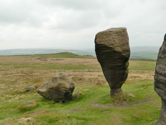
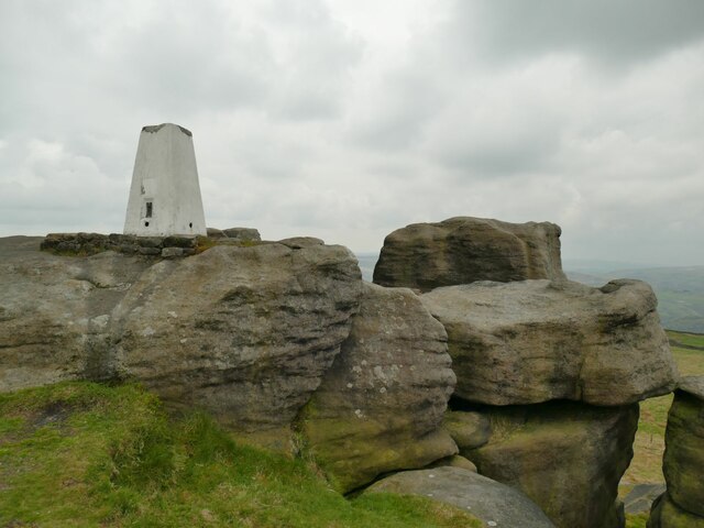
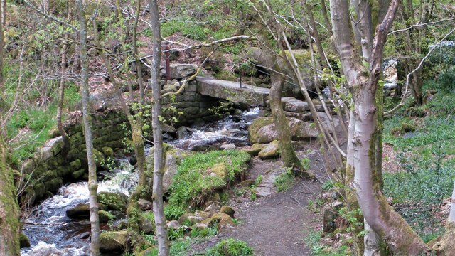
Blackshaw encompasses several small villages and hamlets, including Blackshaw Head, which is the main settlement. The parish is characterized by its rolling hills, wooded valleys, and charming stone-built cottages that dot the countryside. It is a popular destination for outdoor enthusiasts, offering numerous walking and hiking trails that provide stunning views of the surrounding moorland.

The area has a rich history, with evidence of human settlement dating back to the Bronze Age. There are also remnants of the medieval period, including old packhorse routes and historic buildings. Blackshaw is home to a number of listed buildings, such as St. John's Church, which dates back to the 15th century, and several traditional farmhouses.

Despite its rural setting, Blackshaw is within easy reach of amenities and services. The nearby town of Hebden Bridge offers a range of shops, cafes, and restaurants, as well as schools and healthcare facilities. The area is also well-connected, with good transport links to other towns in the region.

Overall, Blackshaw, Yorkshire, is a tranquil and idyllic civil parish that offers a peaceful retreat for residents and visitors alike, with its scenic landscapes and rich historical heritage.

If you have any feedback on the listing, please let us know in the comments section below.
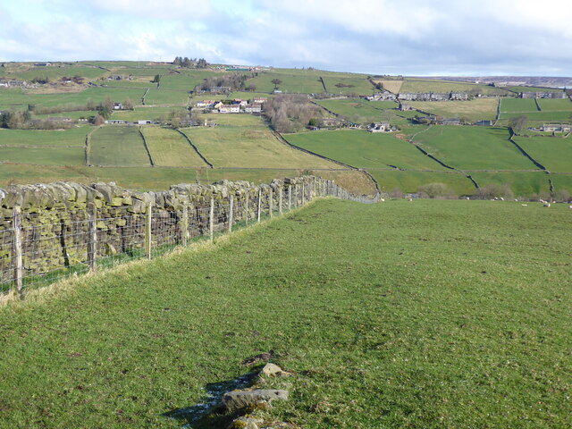
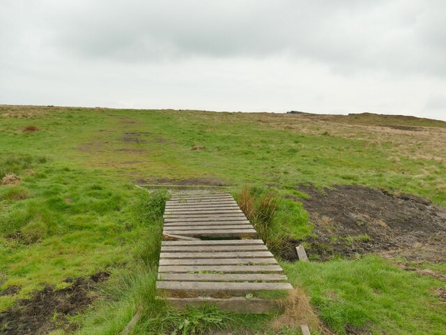
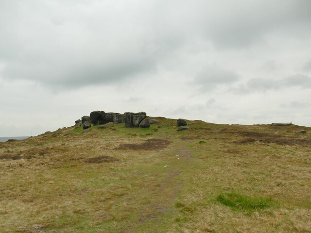
Blackshaw Images

Images are sourced within 2km of 53.746867/-2.08135 or Grid Reference SD9427. Thanks to Geograph Open Source API. All images are credited.

OS Bench Mark OS cut bench mark from the first, 19th century, levelling, on flat rock close to the trig point. There is no sign of a pivot or rivet. The BM is shown on the 1853 6" OS map but not on subsequent editions, nor on any 25" maps. Marked as 1434.7 feet above old datum
OS Bench Mark
OS cut bench mark from the first, 19th century, levelling, on flat rock close to the trig point. There is no sign of a pivot or rivet. The BM is shown on the 1853 6" OS map but not on subsequent editions, nor on any 25" maps. Marked as 1434.7 feet above old datum
The Pennine Way on Pry Hill
Mast Farm, Windy Harbour Lane Although now called a 'farm', the security fence and the name give away the fact that this was the control building for an adjacent mast (still shown on the Explorer map) that has been removed in recent years.
Mast Farm, Windy Harbour Lane
Although now called a 'farm', the security fence and the name give away the fact that this was the control building for an adjacent mast (still shown on the Explorer map) that has been removed in recent years.
Start of a footpath off Eastwood Road The boardwalk over a sometimes boggy patch within metres of leaving the road was not a good sign, but it had been a fairly dry winter and spring, and the going was good across Bridestones Moor.
Start of a footpath off Eastwood Road
The boardwalk over a sometimes boggy patch within metres of leaving the road was not a good sign, but it had been a fairly dry winter and spring, and the going was good across Bridestones Moor.
Approaching the Bridestones The moor contains several gritstone outcrops generically known as the Bridestones, some of them having individual names. This is the first significant outcrop approaching from the east.
Approaching the Bridestones
The moor contains several gritstone outcrops generically known as the Bridestones, some of them having individual names. This is the first significant outcrop approaching from the east.
The Bottleneck on Bridestones Moor The moor contains several gritstone outcrops generically known as the Bridestones, some of them having individual names. This is perhaps the most distinctive individual rock. <a href="https://www.geograph.org.uk/photo/5350930">SD9326 : The Bride Stone, Todmorden</a> shows the other side and another contributor gives us the geological detail at <a href="https://www.geograph.org.uk/photo/4105934">SD9326 : The Bride Stone</a>.
The Bottleneck on Bridestones Moor
The moor contains several gritstone outcrops generically known as the Bridestones, some of them having individual names. This is perhaps the most distinctive individual rock. SD9326 : The Bride Stone, Todmorden shows the other side and another contributor gives us the geological detail at SD9326 : The Bride Stone.
Bridestones triangulation pillar Given a height of 437 or 438 metres on modern maps, though these trig points were more important for their location on plan than the precise elevation.  The 1907 1:2500 map shows it 20 metres further west, a big enough  discrepancy at that scale to suggest it was in fact relocated at some time.
Bridestones triangulation pillar
Given a height of 437 or 438 metres on modern maps, though these trig points were more important for their location on plan than the precise elevation. The 1907 1:2500 map shows it 20 metres further west, a big enough discrepancy at that scale to suggest it was in fact relocated at some time.
Pole Hill Navigational Aid For Manchester Airport
Pole Hill Navigational Aid
For Manchester Airport
Strines Bridge A packhorse bridge across Colden Water
Strines Bridge
A packhorse bridge across Colden Water
Rodmer Clough Mill Dam The wheel pit in the old mill can still be seen below the dam
Rodmer Clough Mill Dam
The wheel pit in the old mill can still be seen below the dam
Field Head Farm The rear courtyard of this extensive property
Field Head Farm
The rear courtyard of this extensive property
Great Rock At the end of Eastwood Road
Great Rock
At the end of Eastwood Road
Great Bride Stones With the trig point on top
Great Bride Stones
With the trig point on top
Beverley End Historic site of terraced tenter grounds and weaver's cottage
Beverley End
Historic site of terraced tenter grounds and weaver's cottage
Beverley Footbridge In Jumble Hole Clough
Beverley Footbridge
In Jumble Hole Clough
Staups Mill Remains In Hippins Clough
Staups Mill Remains
In Hippins Clough
Causey Stones on field path On the path from Hippins to Blackshaw Royd above Tommy Wood
Causey Stones on field path
On the path from Hippins to Blackshaw Royd above Tommy Wood
Path to Chisley Stones The most easterly route from Eastwood Road up on to the moor. They are all probably former tracks to quarries
Path to Chisley Stones
The most easterly route from Eastwood Road up on to the moor. They are all probably former tracks to quarries
Show me another place!

Blackshaw is located at Grid Ref: SD9427 (Lat: 53.746867, Lng: -2.08135)

Division: West Riding

Administrative County: West Yorkshire

District: Calderdale

Police Authority: West Yorkshire

What 3 Words

///pebbles.changing.chiefs. Near Todmorden, West Yorkshire

Related Wikis

Nearby Amenities

Located within 500m of 53.746867,-2.08135
Bus Stop
The Long Causeway
Local Ref: 45024637
Naptan AtcoCode: 450024637
Naptan Bearing: W
Naptan BusStopType: CUS
Naptan CommonName: The Long Causeway
Naptan Indicator: Stop 45024637
Naptan Landmark: Cow Side Farm
Naptan PlusbusZoneRef: LEEDS
Naptan ShortCommonName: Moss Hill Lane
Naptan Street: The Long Causeway
Naptan Verified: no
Source: naptan_import
Lat/Long: 53.7442238/-2.0763903
Bus Stop
The Long Causeway
Local Ref: 45024638
Naptan AtcoCode: 450024638
Naptan Bearing: W
Naptan BusStopType: CUS
Naptan CommonName: The Long Causeway
Naptan Crossing: Brackenshaw Head
Naptan Indicator: Stop 45024638
Naptan Landmark: Moss Hall Low Farm
Naptan PlusbusZoneRef: LEEDS
Naptan ShortCommonName: Brackenshaw Head
Naptan Street: The Long Causeway
Naptan Verified: no
Source: naptan_import
Lat/Long: 53.7439414/-2.0821668
Generator Source: wind
Power: generator
Lat/Long: 53.7451182/-2.0824554
The data included in this document is from www.openstreetmap.org. The data is made available under ODbL.

Have you been to Blackshaw?

Leave your review of Blackshaw below (or comments, questions and feedback).