Bishopstrow

Civil Parish in Wiltshire

England

Bishopstrow

Battlesbury Hill, Wiltshire Battlesbury Hill is the site of an Iron Age bivallate hill fort near the town of Warminster.
Battlesbury Hill, Wiltshire Credit: Rebecca A Wills

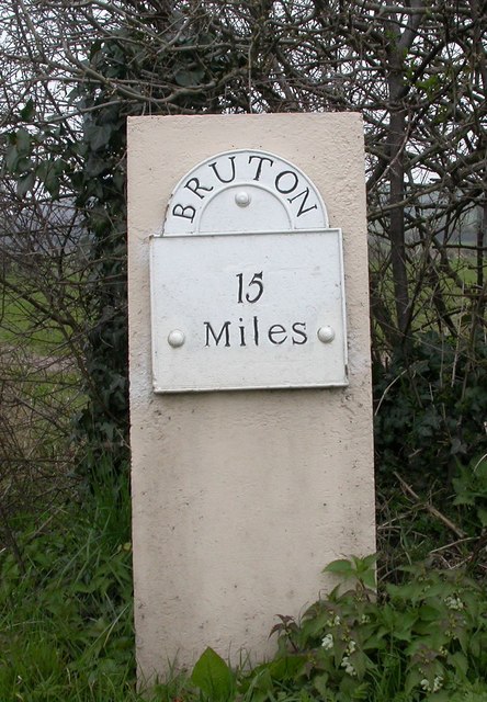
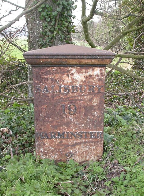
Bishopstrow is a small civil parish located in the county of Wiltshire, England. Situated on the border of Somerset, it is nestled between the towns of Warminster and Frome. The parish covers an area of approximately 3 square miles and is home to a population of around 500 residents.

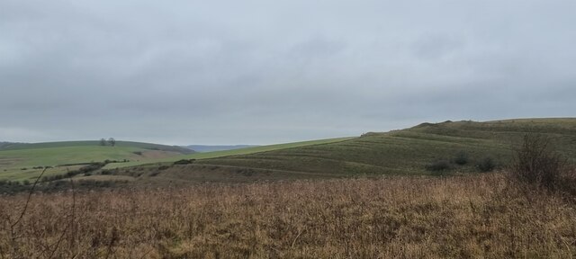
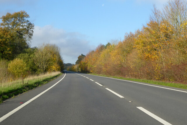
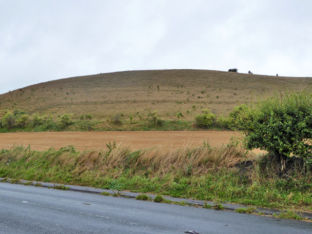
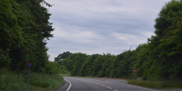
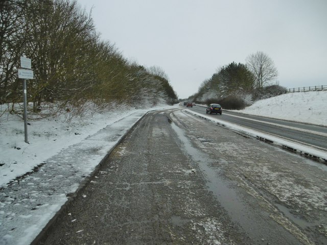
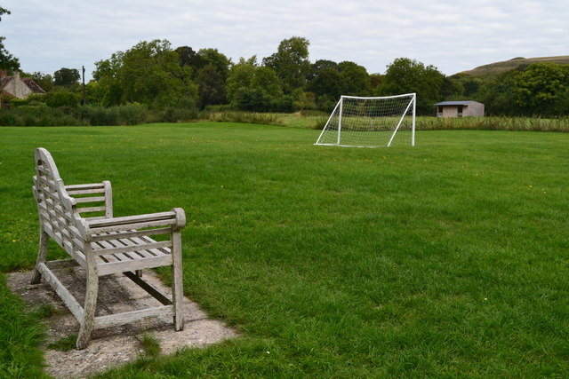
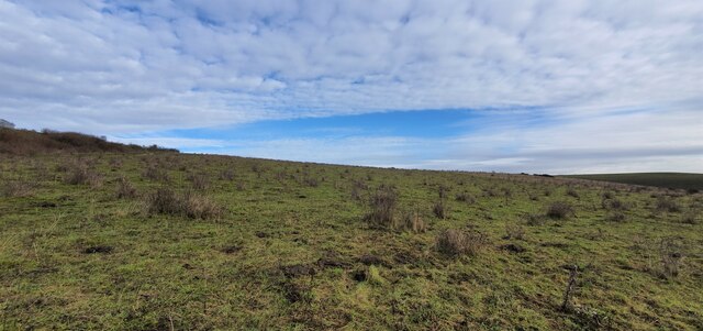
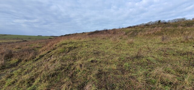
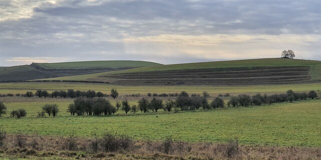
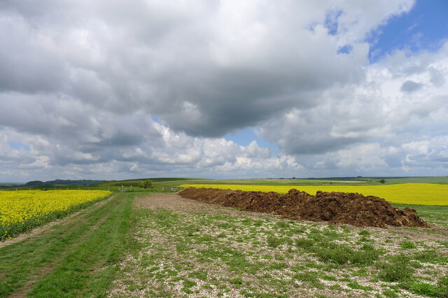
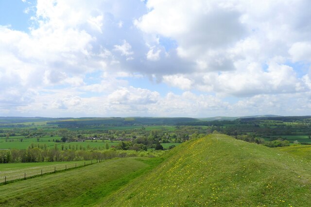
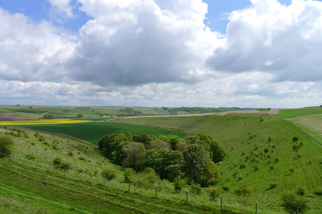
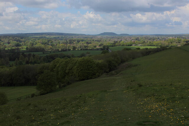
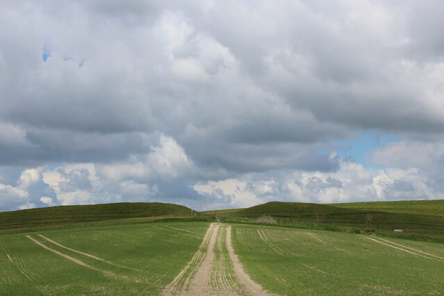
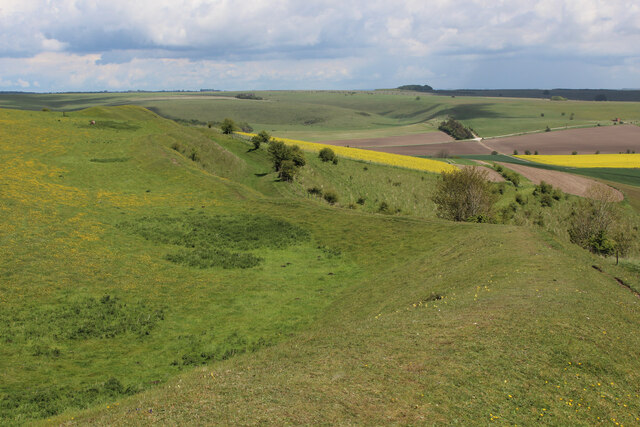
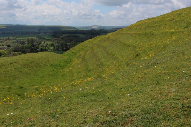
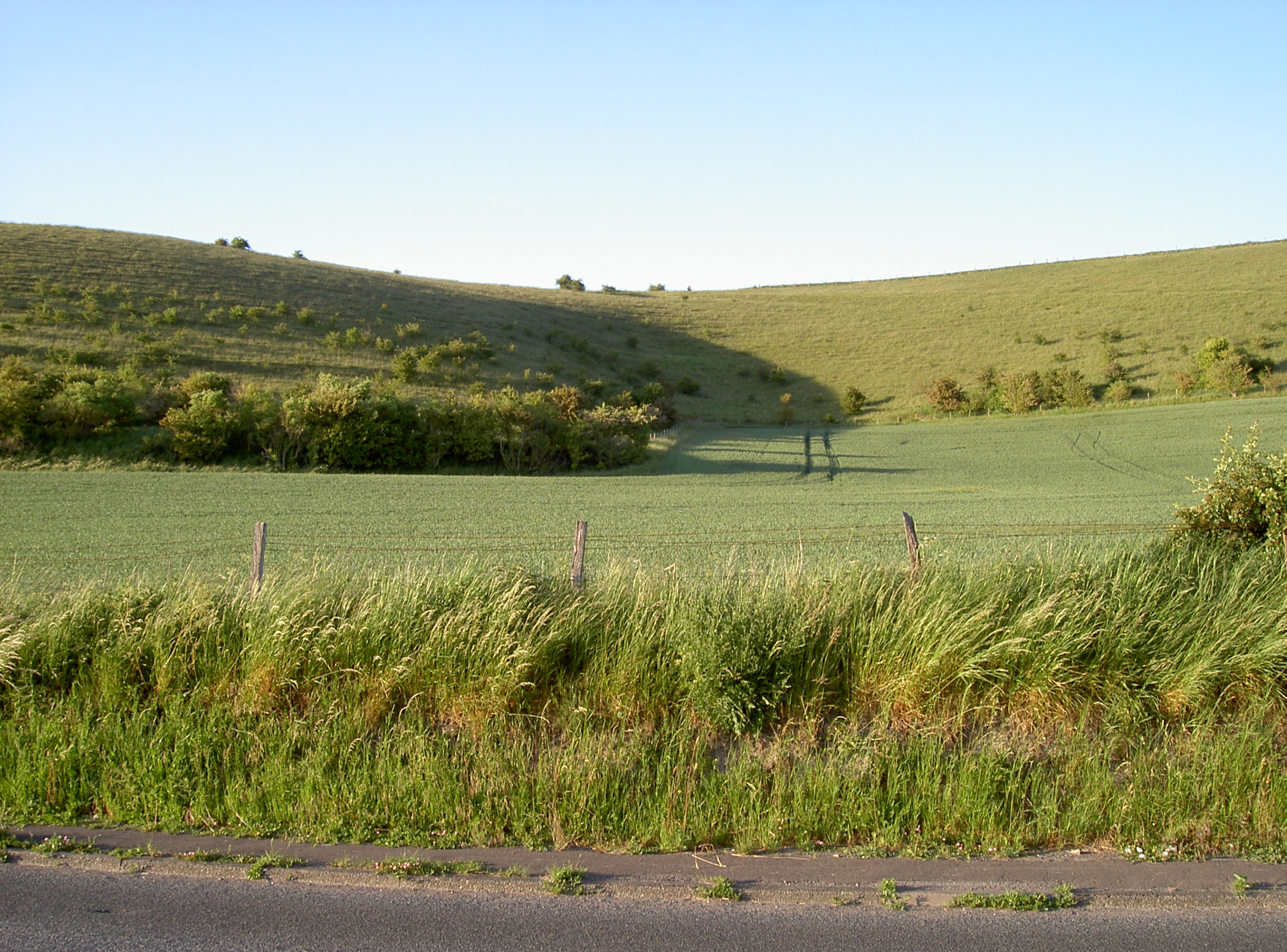
The village of Bishopstrow is known for its picturesque surroundings, with rolling hills and countryside views that attract visitors from near and far. The River Wylye flows through the parish, adding to its natural beauty and providing a tranquil setting for outdoor activities such as fishing and boating.

Historically, Bishopstrow was part of the Longleat Estate, owned by the Thynne family. The village itself has a rich history, with evidence of human habitation dating back to the Neolithic period. The parish church, St. Aldhelm's, is a Grade II listed building, showcasing architectural features from the Norman and Gothic periods.

Despite being a small village, Bishopstrow offers a range of amenities to its residents. These include a primary school, a pub, a village hall, and a post office. The surrounding area also boasts a number of attractions, such as the Longleat Safari Park, which draws tourists from all over.

Overall, Bishopstrow is a charming civil parish that combines natural beauty, historical significance, and a close-knit community. Whether it's exploring the local countryside or enjoying the amenities of the village, residents and visitors alike can find something to appreciate in this idyllic corner of Wiltshire.

If you have any feedback on the listing, please let us know in the comments section below.

Bishopstrow Images

Images are sourced within 2km of 51.199583/-2.140976 or Grid Reference ST9044. Thanks to Geograph Open Source API. All images are credited.

Battlesbury Hill, Wiltshire Battlesbury Hill is the site of an Iron Age bivallate hill fort near the town of Warminster.
Battlesbury Hill, Wiltshire
Battlesbury Hill is the site of an Iron Age bivallate hill fort near the town of Warminster.
A36 towards Bath Bypassing Warminster.
A36 towards Bath
Bypassing Warminster.
Cotley Hill Looking up from the B3414.
Cotley Hill
Looking up from the B3414.
A36 The A36 is the principal route from Bristol and Wales to the central south coast. It runs 65 miles from Totton to Bath, via Salisbury.
<span class="nowrap"><a title="http://www.sabre-roads.org.uk/wiki/index.php?title=A36" rel="nofollow ugc noopener" href="http://www.sabre-roads.org.uk/wiki/index.php?title=A36">Link</a><img style="margin-left:2px;" alt="External link" title="External link - shift click to open in new window" src="https://s1.geograph.org.uk/img/external.png" width="10" height="10"/></span>
A36
The A36 is the principal route from Bristol and Wales to the central south coast. It runs 65 miles from Totton to Bath, via Salisbury. LinkExternal link
Norton Bavant, lay-by On A36 southbound. The road has been gritted, and snow is not forecast to stay.
Norton Bavant, lay-by
On A36 southbound. The road has been gritted, and snow is not forecast to stay.
Recreation ground at Norton Bavant
Old Milestone south of Norton Bavant, Heytesbury parish Metal plate attached to concrete post by the UC road, in parish of HEYTESBURY (WEST WILTSHIRE District), 100m East of junction with road to Norton Bavant, 50m East of Langleys Gore, in hedgerow, on North side of road. Bruton Sun iron plate, erected by the Bruton turnpike trust in the 18th century. 

Inscription reads:-
BRUTON
15
Miles 

Milestone Society National ID: WI_BNMB15.
Old Milestone south of Norton Bavant, Heytesbury parish
Metal plate attached to concrete post by the UC road, in parish of HEYTESBURY (WEST WILTSHIRE District), 100m East of junction with road to Norton Bavant, 50m East of Langleys Gore, in hedgerow, on North side of road. Bruton Sun iron plate, erected by the Bruton turnpike trust in the 18th century. Inscription reads:- BRUTON 15 Miles Milestone Society National ID: WI_BNMB15.
Old Milepost by the B3414, Warminster Road, Norton Bavant Cast iron post by the B3414, in parish of Norton Bavant (West Wiltshire District), Warminster Road; 800m East of entrance to Bishopstrow Farm, by the road, on Southwest side of road. C&M Classical iron casting, erected by the Warminster turnpike trust in the 19th century. 

Inscription reads:-
SALISBURY
19
WARMINSTER
2

Grade II listed.  
List Entry Number: 1364340 <span class="nowrap"><a title="https://historicengland.org.uk/listing/the-list/list-entry/1364340" rel="nofollow ugc noopener" href="https://historicengland.org.uk/listing/the-list/list-entry/1364340">Link</a><img style="margin-left:2px;" alt="External link" title="External link - shift click to open in new window" src="https://s1.geograph.org.uk/img/external.png" width="10" height="10"/></span>

Milestone Society National ID: WI_SAWM19
Old Milepost by the B3414, Warminster Road, Norton Bavant
Cast iron post by the B3414, in parish of Norton Bavant (West Wiltshire District), Warminster Road; 800m East of entrance to Bishopstrow Farm, by the road, on Southwest side of road. C&M Classical iron casting, erected by the Warminster turnpike trust in the 19th century. Inscription reads:- SALISBURY 19 WARMINSTER 2 Grade II listed. List Entry Number: 1364340 LinkExternal link Milestone Society National ID: WI_SAWM19
Bishopstrow Down, Wiltshire Looking north east, up hill, in the direction of Bishopstrow Down, from the vicinity of strip lynchets located to the south of Bigbury Wood.
Bishopstrow Down, Wiltshire
Looking north east, up hill, in the direction of Bishopstrow Down, from the vicinity of strip lynchets located to the south of Bigbury Wood.
Bigbury Wood, Wiltshire Looking northwest along a series of strip lynchets to the south of Bigbury Wood. Strip lynchets are earth terrace found on the side of a hill and are a feature of ancient field systems.
Bigbury Wood, Wiltshire
Looking northwest along a series of strip lynchets to the south of Bigbury Wood. Strip lynchets are earth terrace found on the side of a hill and are a feature of ancient field systems.
Middle Hill, Wiltshire Looking south from the vicinity of the Imber Range Perimeter Path towards the strip lynchets on Middle Hill. Strip lynchets are earth terraces found on the side of a hill and are a feature of ancient field systems.
Middle Hill, Wiltshire
Looking south from the vicinity of the Imber Range Perimeter Path towards the strip lynchets on Middle Hill. Strip lynchets are earth terraces found on the side of a hill and are a feature of ancient field systems.
Stall waste by the Wessex Ridgeway path on Cotley Hill
On the rampart at the south end of Scratchbury Hill A 'univallate' iron age hillfort. The single rampart is nevertheless an impressive structure. Looking over the village of Norton Bavant in the Wylye valley
On the rampart at the south end of Scratchbury Hill
A 'univallate' iron age hillfort. The single rampart is nevertheless an impressive structure. Looking over the village of Norton Bavant in the Wylye valley
'The Copse' from Scratchbury Hill
Bridleway descending towards Norton Plantation
Wessex Ridgeway approaching Scratchbury Camp Heading east over an arable field towards the earthen ramparts of Scratchbury Camp, an Iron Age Hillfort on the edge of Salisbury Plain
Wessex Ridgeway approaching Scratchbury Camp
Heading east over an arable field towards the earthen ramparts of Scratchbury Camp, an Iron Age Hillfort on the edge of Salisbury Plain
Ramparts and Fortifications on Scratchbury Hill The eastern side of Scratchbury Camp, an Iron Age Hillfort dating to around 100BC on the edge of Salisbury Plain.
The Wessex Ridgeway circumnavigates the ramparts to the north.
<a href="https://www.geograph.org.uk/photo/6845280">ST9144 : More Ramparts and Fortifications on Scratchbury Hill</a>
<a href="https://www.geograph.org.uk/photo/6845739">ST9144 : Northern Edge of Scratchbury Camp</a>
Ramparts and Fortifications on Scratchbury Hill
The eastern side of Scratchbury Camp, an Iron Age Hillfort dating to around 100BC on the edge of Salisbury Plain. The Wessex Ridgeway circumnavigates the ramparts to the north. ST9144 : More Ramparts and Fortifications on Scratchbury Hill ST9144 : Northern Edge of Scratchbury Camp
More Ramparts and Fortifications on Scratchbury Hill Section of embankments that encircle Scratchbury Camp - an Iron Age Hillfort on the edge of Salisbury Plain
<a href="https://www.geograph.org.uk/photo/6845276">ST9144 : Ramparts and Fortifications on Scratchbury Hill</a>
<a href="https://www.geograph.org.uk/photo/6845739">ST9144 : Northern Edge of Scratchbury Camp</a>
More Ramparts and Fortifications on Scratchbury Hill
Section of embankments that encircle Scratchbury Camp - an Iron Age Hillfort on the edge of Salisbury Plain ST9144 : Ramparts and Fortifications on Scratchbury Hill ST9144 : Northern Edge of Scratchbury Camp
Show me another place!

Bishopstrow is located at Grid Ref: ST9044 (Lat: 51.199583, Lng: -2.140976)

Unitary Authority: Wiltshire

Police Authority: Wiltshire

What 3 Words

///tailors.laws.excavated. Near Bishopstrow, Wiltshire

Nearby Locations

Bishopstrow Middle Hill

Related Wikis

Bishopstrow House

Bishopstrow Hotel & Spa is a late-Georgian English country house standing near the B3414 (Salisbury road) in the parish of Bishopstrow, about a mile east...

Scratchbury Camp

Scratchbury Camp is the site of an Iron Age univallate hillfort on Scratchbury Hill, overlooking the Wylye valley about 1 km northeast of the village of...

Bishopstrow

Bishopstrow is a small village and civil parish in Wiltshire, England, on the southeastern edge of the town of Warminster. The village is about 1.5 miles...

Battlesbury Camp

Battlesbury Camp is the site of an Iron Age bivallate hill fort on Battlesbury Hill near the town of Warminster in Wiltshire, South West England. Excavations...

Battlesbury Barracks

Battlesbury Barracks is a British Army installation in Warminster, Wiltshire, England. It is the permanent base of the Royal Dragoon Guards, serving as...

Scratchbury and Cotley Hills SSSI

Scratchbury & Cotley Hills SSSI (grid reference ST915437) is a 53.5 hectare biological Site of Special Scientific Interest at Norton Bavant in Wiltshire...

Norton Bavant

Norton Bavant is a small village and civil parish in Wiltshire, England, 2 miles (3.2 km) southeast of Warminster. == Geography == The village is on the...

Kingdown School

Kingdown School is a mixed secondary school and sixth form in Warminster, Wiltshire, England for students aged 11 to 18. Since 1 August 2011, the school...

Have you been to Bishopstrow?

Leave your review of Bishopstrow below (or comments, questions and feedback).