Bishopstoke
Civil Parish in Hampshire Eastleigh
England
Bishopstoke
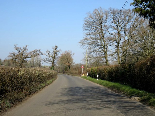
Bishopstoke is a civil parish located in the county of Hampshire, England. Situated on the eastern outskirts of the city of Southampton, it forms part of the borough of Eastleigh. The parish covers an area of approximately 3.8 square kilometers.
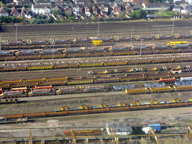
The history of Bishopstoke dates back to the Saxon period, with evidence of settlement from as early as the 7th century. Over the centuries, the village grew and developed, particularly with the arrival of the railway in the mid-19th century, which connected Bishopstoke to nearby towns and cities.
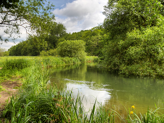
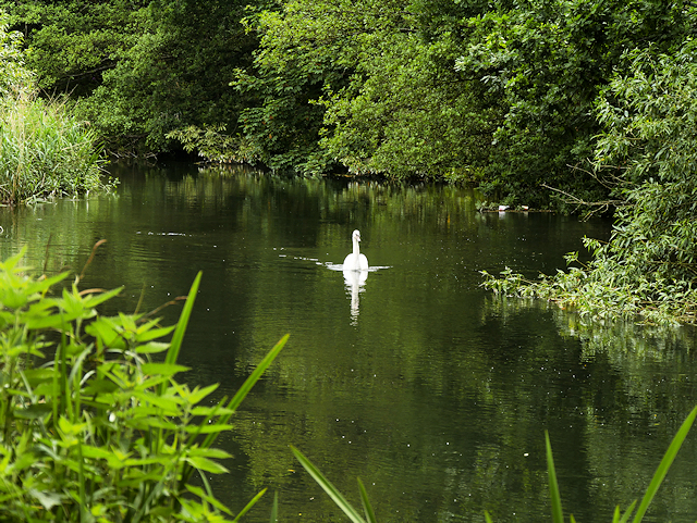
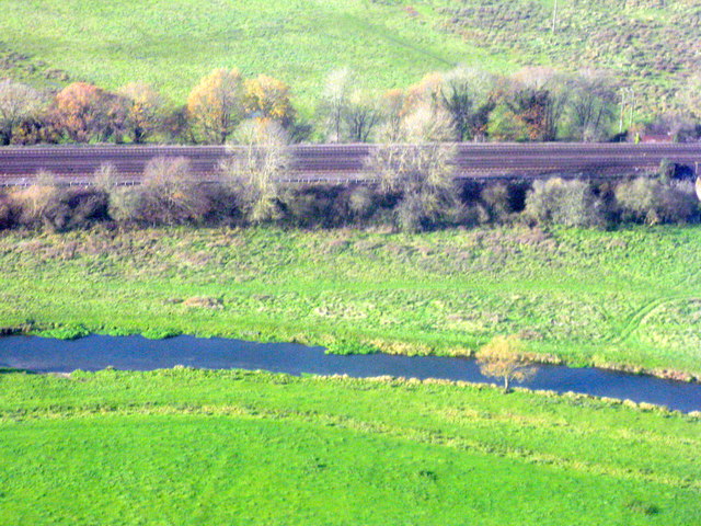
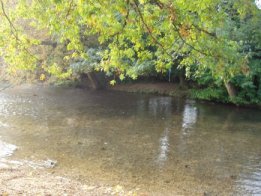
Today, Bishopstoke is a thriving residential area with a population of around 8,500. It offers a mix of housing, ranging from historic cottages to modern developments. The village is known for its picturesque surroundings, with green open spaces and the River Itchen running through its center.
Bishopstoke benefits from a range of amenities, including shops, pubs, and restaurants, providing residents with convenient access to everyday essentials. The nearby town of Eastleigh offers a wider range of facilities, including a shopping center, leisure center, and a variety of entertainment options.
The parish is well-served by public transport, with regular bus services connecting Bishopstoke to neighboring towns and Southampton city center. For those traveling further afield, Southampton Airport is just a short distance away.
Bishopstoke also boasts a strong sense of community, with various local groups and organizations catering to different interests and age groups. The village hosts a number of events throughout the year, bringing residents together and fostering a friendly and inclusive atmosphere.
If you have any feedback on the listing, please let us know in the comments section below.
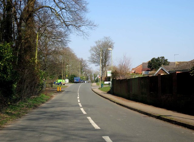
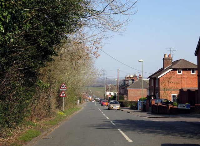
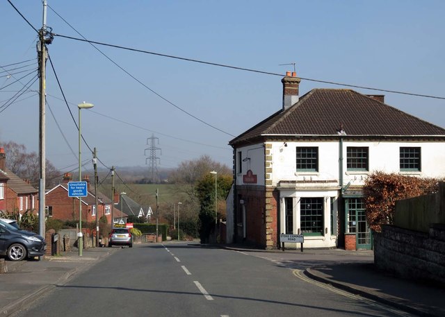
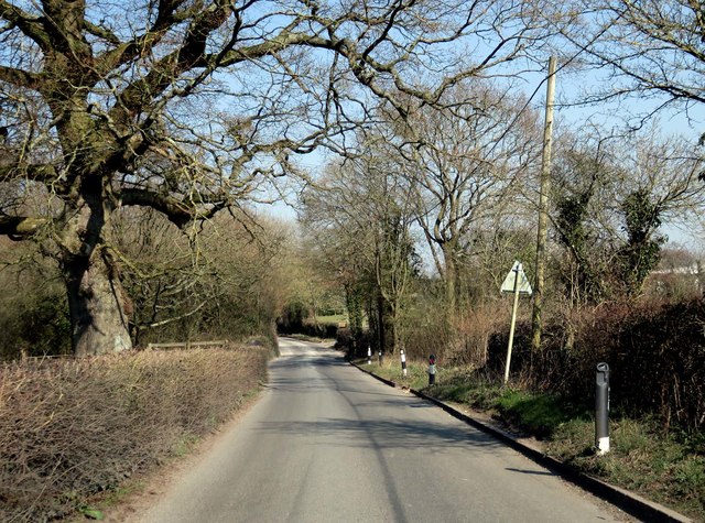
Bishopstoke Images
Images are sourced within 2km of 50.970776/-1.325986 or Grid Reference SU4719. Thanks to Geograph Open Source API. All images are credited.


Bishopstoke is located at Grid Ref: SU4719 (Lat: 50.970776, Lng: -1.325986)
Administrative County: Hampshire
District: Eastleigh
Police Authority: Hampshire
What 3 Words
///single.echo.chin. Near Bishopstoke, Hampshire
Nearby Locations
Related Wikis
Bishopstoke
Bishopstoke is a village and civil parish in the Eastleigh district of Hampshire, England. It is recorded as "Stoke" as early as 948 AD when King Eadred...

St Mary's Church, Bishopstoke
The Church of St Mary's is an Anglican Church in Bishopstoke, Hampshire. St Mary's was designed by Edward Prioleau Warren and built during 1890/91 by Wheeler...
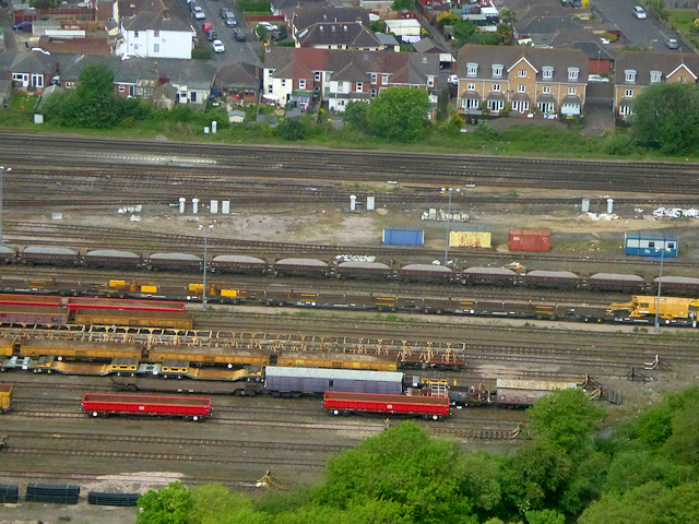
Eastleigh railway station
Eastleigh railway station serves the town of Eastleigh in the county of Hampshire in England. It is located on the South West Main Line and is the junction...

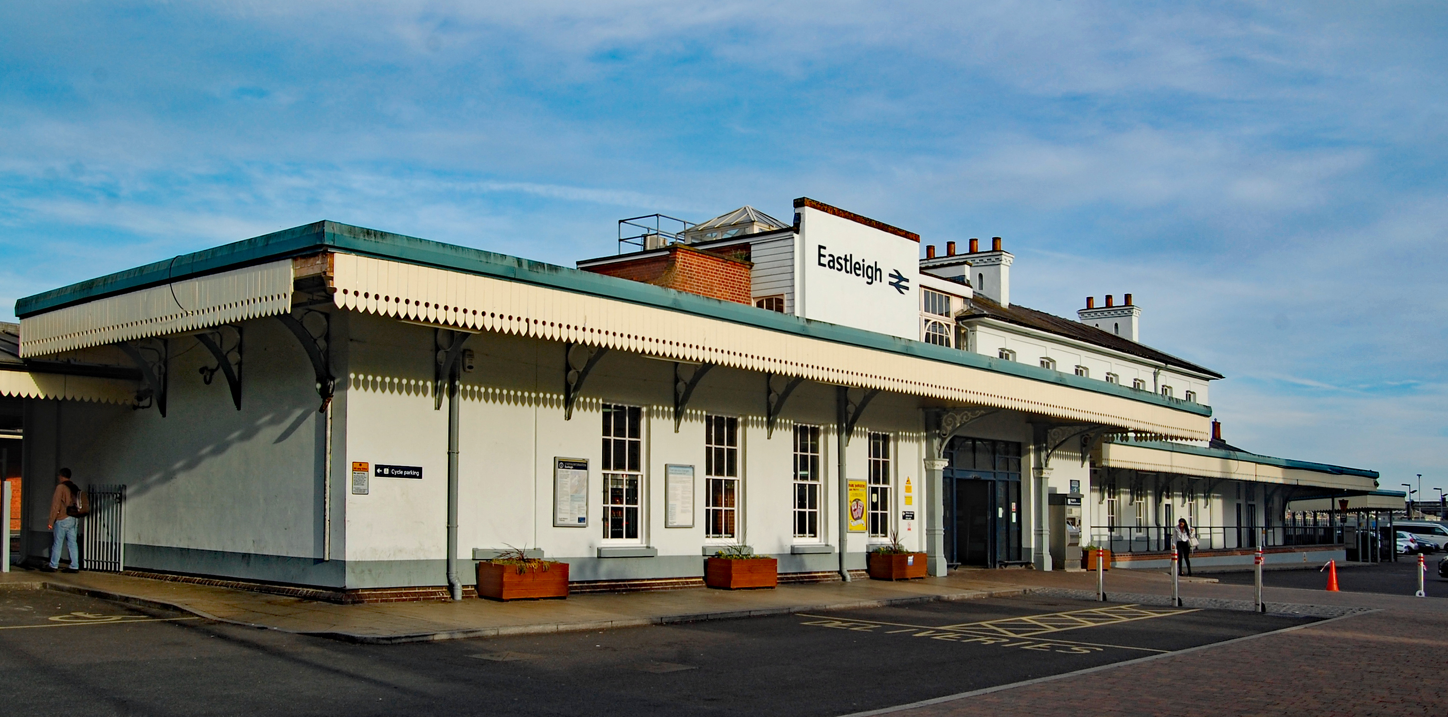
Eastleigh
Eastleigh is a town in Hampshire, England, between Southampton and Winchester. It is the largest town and the administrative seat of the Borough of Eastleigh...
Nearby Amenities
Located within 500m of 50.970776,-1.325986Have you been to Bishopstoke?
Leave your review of Bishopstoke below (or comments, questions and feedback).