Bishop's Hull
Civil Parish in Somerset Somerset West and Taunton
England
Bishop's Hull
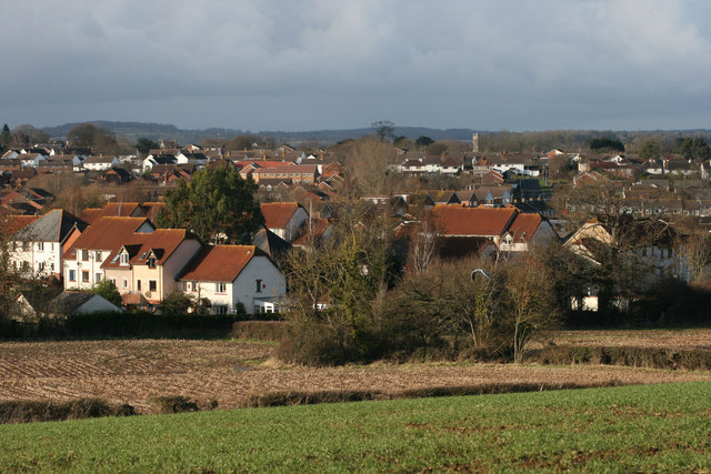
Bishop's Hull is a civil parish located in the county of Somerset in England. Situated just outside the bustling town of Taunton, Bishop's Hull is a charming and picturesque village with a rich history dating back to medieval times.
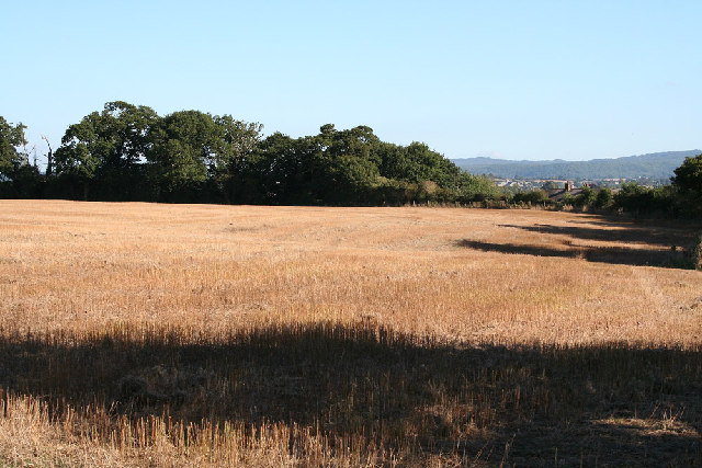
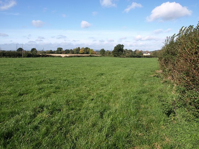
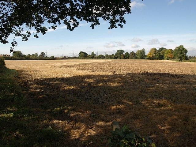
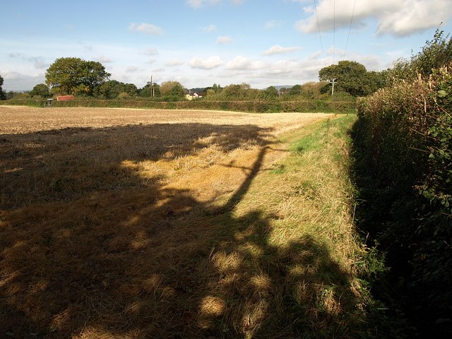
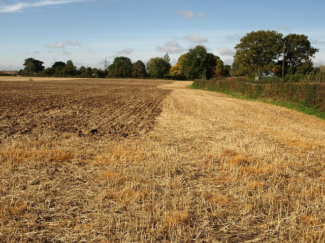
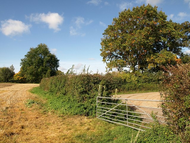
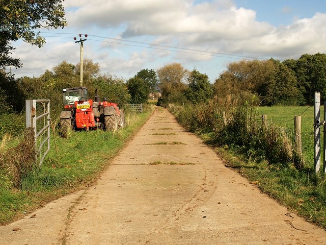
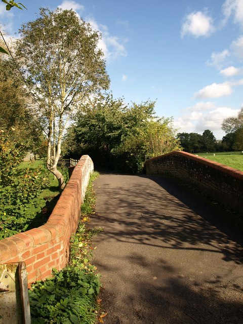
The village is known for its scenic beauty, surrounded by lush green fields and rolling hills. It is set against the backdrop of the Quantock Hills, an Area of Outstanding Natural Beauty, which offers stunning views and ample opportunities for outdoor activities such as hiking and biking.
Despite its rural setting, Bishop's Hull is well-connected to the nearby town of Taunton, which is just a short distance away. This offers residents easy access to a range of amenities and services, including shops, schools, healthcare facilities, and leisure activities.
The village itself has a close-knit community and a strong sense of community spirit. It has a primary school, a church, and a village hall, which serves as a hub for various social and community events. Local organizations and clubs also contribute to the vibrant community life in Bishop's Hull, offering activities and opportunities for people of all ages.
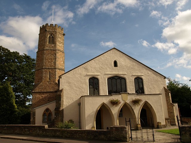
Historically, Bishop's Hull was part of the ancient manor of Taunton Deane and was named after the Bishop of Winchester, who owned the land in the 12th century. The village has retained much of its historical charm, with several old buildings and landmarks still standing, including a medieval church and a number of traditional thatched cottages.
Overall, Bishop's Hull offers a tranquil and idyllic setting for residents, combining the beauty of the Somerset countryside with the convenience of nearby urban amenities.
If you have any feedback on the listing, please let us know in the comments section below.
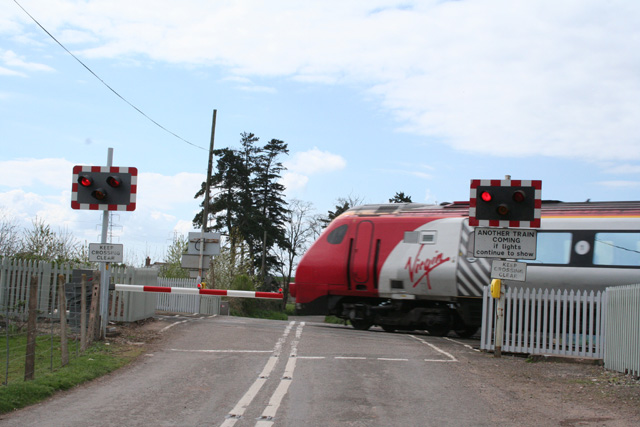
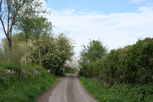
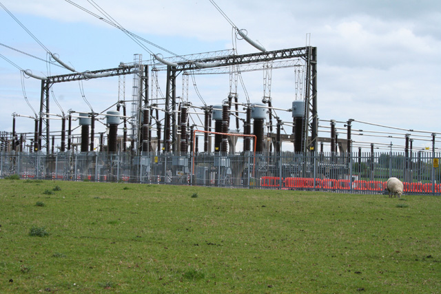
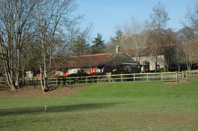
Bishop's Hull Images
Images are sourced within 2km of 51.015323/-3.140916 or Grid Reference ST2024. Thanks to Geograph Open Source API. All images are credited.


Bishop's Hull is located at Grid Ref: ST2024 (Lat: 51.015323, Lng: -3.140916)
Administrative County: Somerset
District: Somerset West and Taunton
Police Authority: Avon and Somerset
What 3 Words
///spoon.helps.chest. Near Taunton, Somerset
Nearby Locations
Related Wikis
Bishop's Hull
Bishop's Hull is a village and civil parish in Somerset, England, in the western suburbs of Taunton. It includes the areas of Rumwell, Rumwell Park, Roughmoor...
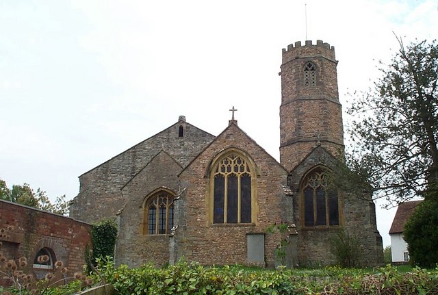
Church of St Peter and St Paul, Bishop's Hull
The Church of St Peter and St Paul in Bishop's Hull, Somerset, England was built in the 13th century. It is a Grade II* listed building. == History... ==

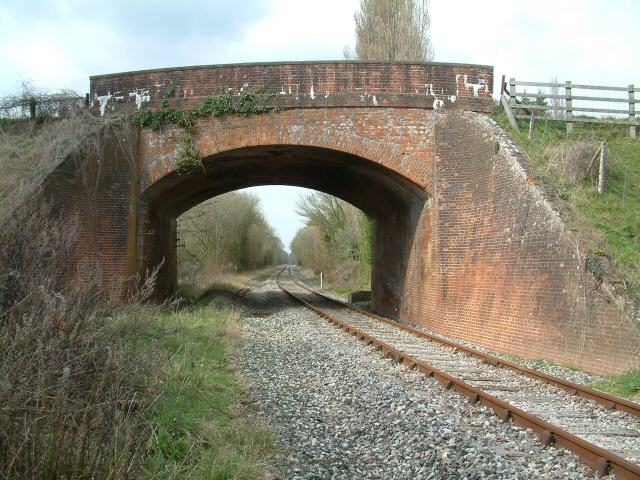
1890 Norton Fitzwarren rail crash
The Norton Fitzwarren rail crash occurred on 11 November 1890, at Norton Fitzwarren station on the Great Western Railway, approximately two miles south...
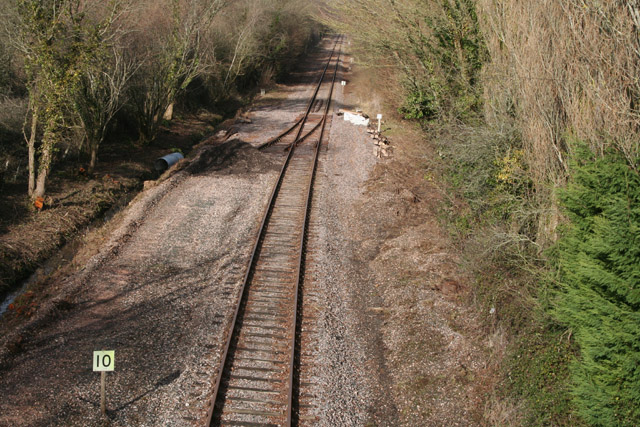
1940 Norton Fitzwarren rail crash
The Norton Fitzwarren rail crash occurred on 4 November 1940 between Taunton and Norton Fitzwarren in the English county of Somerset, when the driver of...

Norton Fitzwarren
Norton Fitzwarren is a village, electoral ward, and civil parish in Somerset, England, situated 2 miles (3.2 km) north west of Taunton. The village has...
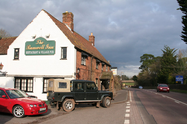
Comeytrowe
Comeytrowe is a south western suburb of Taunton and former civil parish, now in the parish of Taunton in the county of Somerset, England. In 2011 the parish...
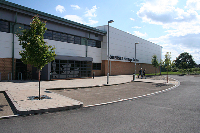
Somerset Archives and Local Studies
The Somerset Archives and Local Studies holds the archives for the county of Somerset, England. The archives are held at Brunel Way, Langford Mead, Norton...
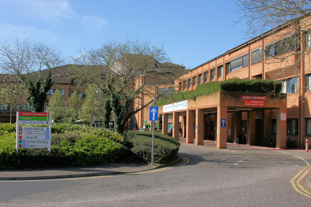
Musgrove Park Hospital
Musgrove Park Hospital is a large NHS hospital located in Taunton, Somerset, England, run by Somerset NHS Foundation Trust. Originally a US Army General...
Nearby Amenities
Located within 500m of 51.015323,-3.140916Have you been to Bishop's Hull?
Leave your review of Bishop's Hull below (or comments, questions and feedback).