Bishop's Hull
Settlement in Somerset Somerset West and Taunton
England
Bishop's Hull
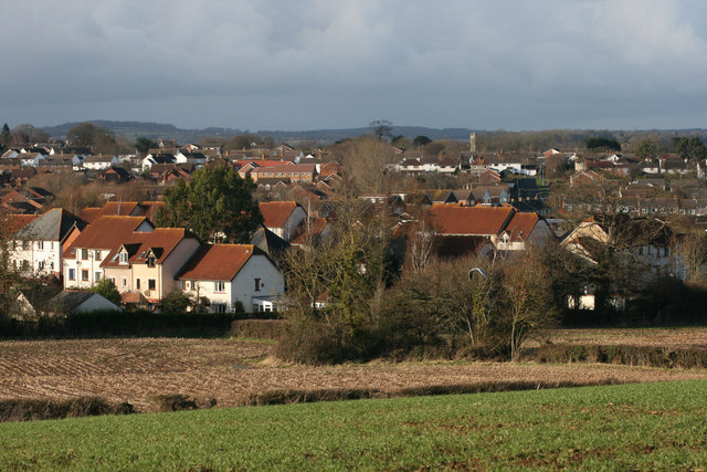
Bishop's Hull is a small village situated approximately two miles west of Taunton, the county town of Somerset, England. It lies in the Taunton Deane district and is located on the southern side of the River Tone. The village has a population of around 1,500 residents.
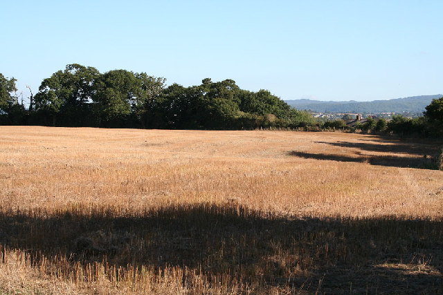
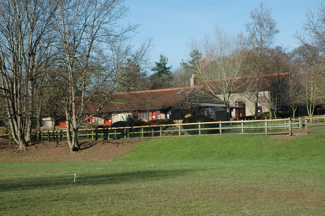
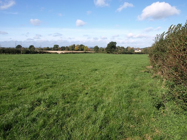
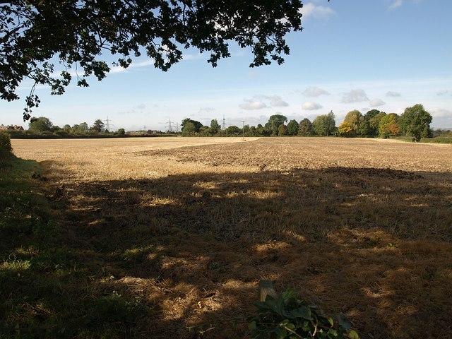
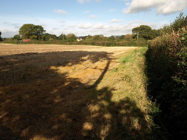
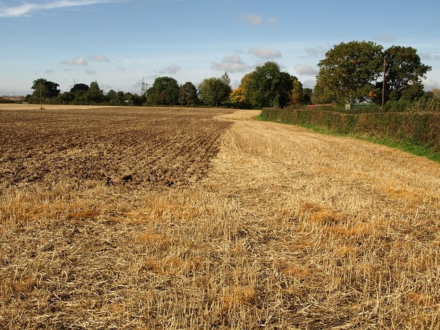
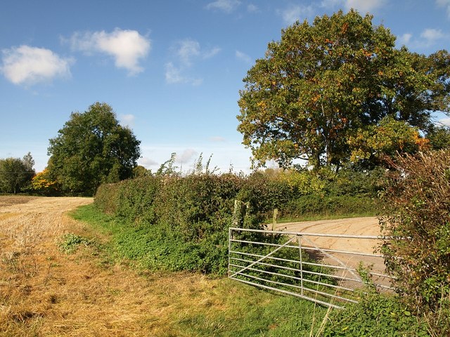
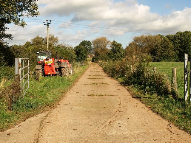
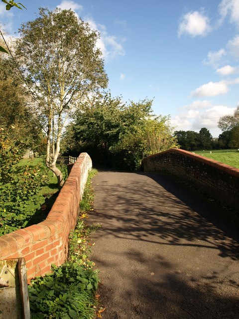
Bishop's Hull is known for its picturesque rural setting, surrounded by rolling hills and green fields. The village is predominantly residential, with a mix of properties ranging from historic thatched cottages to modern houses. The architecture reflects the village's long history, with some buildings dating back several centuries.
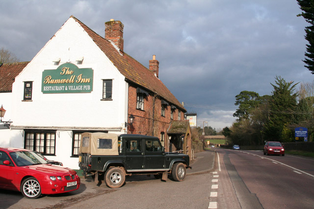
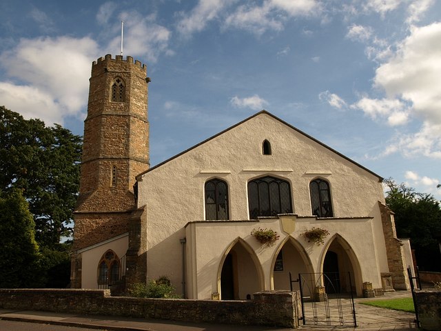
The village offers a range of amenities for its residents. These include a primary school, a church, a village hall, and a pub. The primary school, which has a good reputation, serves the local community and nearby villages. The church, dedicated to St. Peter and St. Paul, is a prominent landmark and holds regular services.
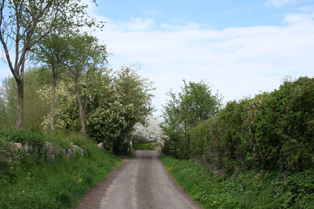
For those seeking recreational activities, Bishop's Hull provides ample opportunities. The nearby countryside offers beautiful walking trails, perfect for exploring the natural beauty of the area. Additionally, the village is close to Hestercombe Gardens, a historic landscape garden with stunning views and impressive architecture.
Bishop's Hull benefits from its proximity to Taunton, where residents can access a wider range of amenities, including shopping centers, leisure facilities, and transport links. The village is well-connected, with regular bus services to Taunton and other nearby towns.
Overall, Bishop's Hull is a charming village that offers a peaceful countryside lifestyle while providing easy access to the amenities of a larger town.
If you have any feedback on the listing, please let us know in the comments section below.
Bishop's Hull Images
Images are sourced within 2km of 51.015911/-3.13135 or Grid Reference ST2024. Thanks to Geograph Open Source API. All images are credited.


Bishop's Hull is located at Grid Ref: ST2024 (Lat: 51.015911, Lng: -3.13135)
Administrative County: Somerset
District: Somerset West and Taunton
Police Authority: Avon and Somerset
What 3 Words
///dips.feared.quiet. Near Taunton, Somerset
Nearby Locations
Related Wikis

1890 Norton Fitzwarren rail crash
The Norton Fitzwarren rail crash occurred on 11 November 1890, at Norton Fitzwarren station on the Great Western Railway, approximately two miles south...
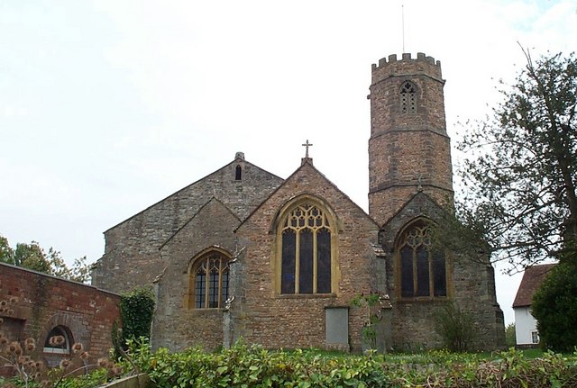
Church of St Peter and St Paul, Bishop's Hull
The Church of St Peter and St Paul in Bishop's Hull, Somerset, England was built in the 13th century. It is a Grade II* listed building. == History... ==
Bishop's Hull
Bishop's Hull is a village and civil parish in Somerset, England, in the western suburbs of Taunton. It includes the areas of Rumwell, Rumwell Park, Roughmoor...
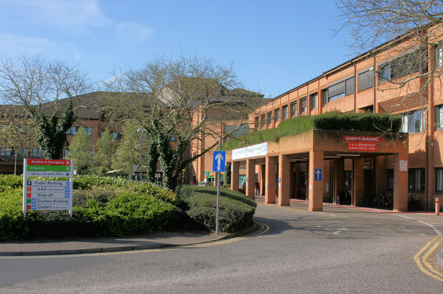
Musgrove Park Hospital
Musgrove Park Hospital is a large NHS hospital located in Taunton, Somerset, England, run by Somerset NHS Foundation Trust. Originally a US Army General...
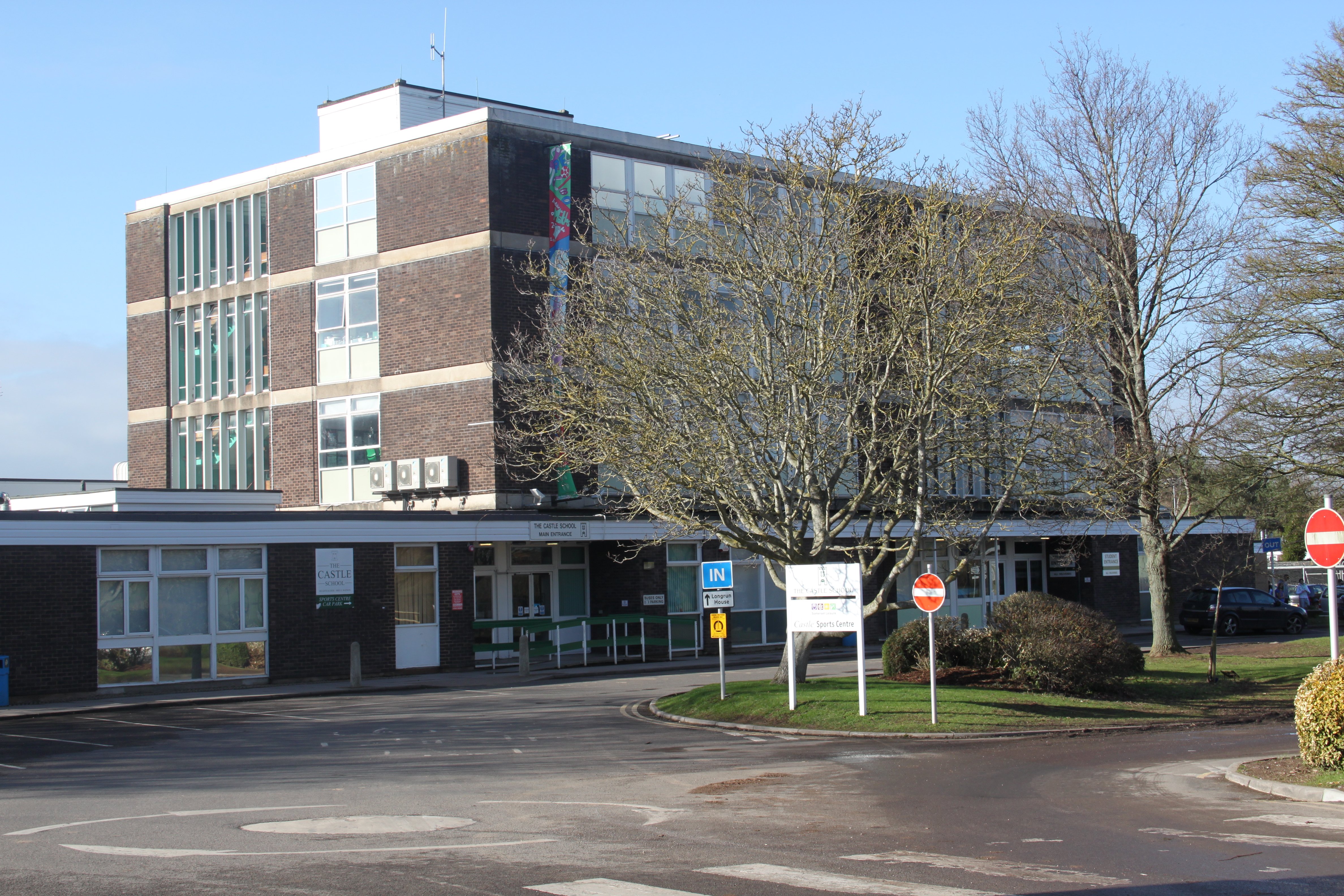
The Castle School, Taunton
The Castle School is a co-educational secondary school in Taunton, Somerset, England. It had 1,189 pupils aged 11 to 16 in 2017, and has had specialist...
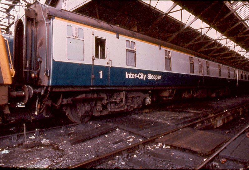
Taunton sleeping car fire
In the early hours of 6 July 1978, a fire broke out in a sleeping car train near Taunton, Somerset, England. 12 people were killed and 15 were injured...
Comeytrowe
Comeytrowe is a south western suburb of Taunton and former civil parish, now in the parish of Taunton in the county of Somerset, England. In 2011 the parish...
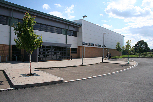
Somerset Archives and Local Studies
The Somerset Archives and Local Studies holds the archives for the county of Somerset, England. The archives are held at Brunel Way, Langford Mead, Norton...
Related Videos

Taunton The Heart of Somerset England Beautiful English Riviera Walking Exploring Tour Travelling UK
Join us on our Walking Adventures Exploring Beautiful Locations and Various Landscapes within the UK and beyond. Travel has ...

📸 Day 15: Somerset Street Photography #travel #traveldiaries #phtography
Day 15: Somerset Street Photography A picture taken in Taunton, a stunning mural depicting a lemon tree against a backdrop ...

Free, Quirky or Dependable? Travel Smarter
Hotels, Airbnb and Housesitting are all great long-term Slow Travel options. But using a mix of these will enable you to keep your ...
Nearby Amenities
Located within 500m of 51.015911,-3.13135Have you been to Bishop's Hull?
Leave your review of Bishop's Hull below (or comments, questions and feedback).