Bishop Monkton

Civil Parish in Yorkshire Harrogate

England

Bishop Monkton

Bishop Monkton, Ivy House Farm The benchmark is cut into the right hand gatepost at the entrance to the farm.
Bishop Monkton, Ivy House Farm Credit: Mel Towler

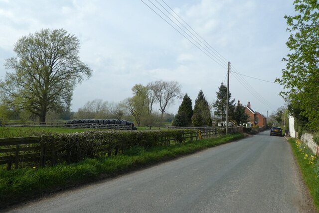
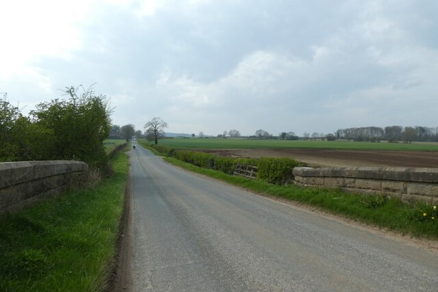
Bishop Monkton is a civil parish located in the Harrogate district of North Yorkshire, England. It is a small village situated about 4 miles west of the town of Boroughbridge and approximately 6 miles south of Ripon. The village lies in the picturesque countryside of the Vale of York, surrounded by rolling hills and farmland.

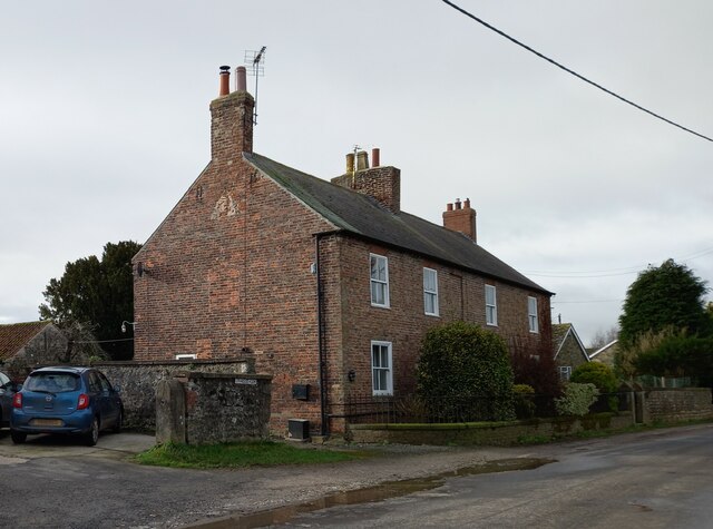
Bishop Monkton has a population of around 700 people, making it a close-knit and friendly community. The village is known for its charming and well-preserved historic buildings, including the All Saints' Church, which dates back to the 12th century and is a prominent feature in the village.

Amenities in Bishop Monkton include a village hall, a primary school, and a popular pub, The Lamb and Flag, which serves traditional food and beverages. The village also has a cricket club and a bowling green, providing opportunities for residents to engage in recreational activities.

The surrounding countryside offers ample opportunities for outdoor pursuits, with numerous walking and cycling routes available. The nearby River Ure provides opportunities for fishing and boating, while the nearby Nidderdale Area of Outstanding Natural Beauty is a haven for nature lovers.

Bishop Monkton is well-connected to the rest of Yorkshire, with good road links to nearby towns and cities. The village also benefits from regular bus services, providing easy access to surrounding areas.

Overall, Bishop Monkton is a picturesque and welcoming village, offering a peaceful and idyllic lifestyle in the heart of the Yorkshire countryside.

If you have any feedback on the listing, please let us know in the comments section below.

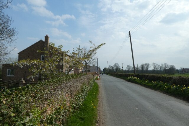
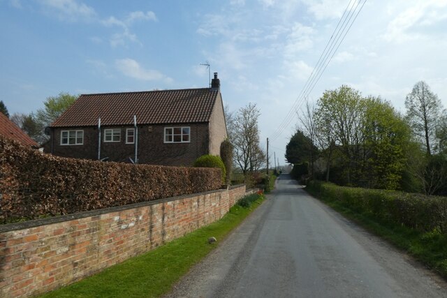
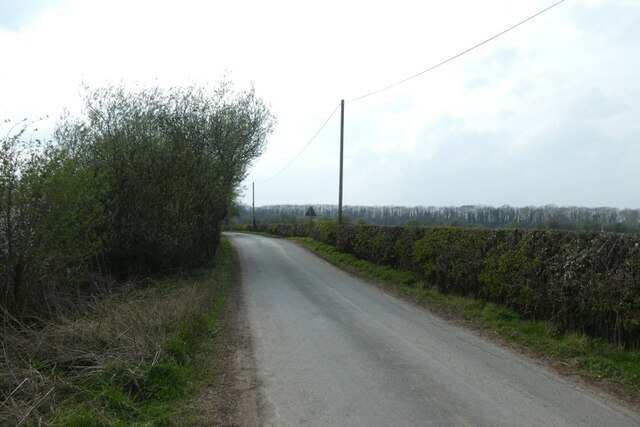
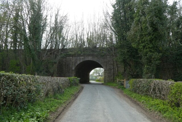
Bishop Monkton Images

Images are sourced within 2km of 54.093815/-1.501988 or Grid Reference SE3266. Thanks to Geograph Open Source API. All images are credited.

Bishop Monkton, Ivy House Farm The benchmark is cut into the right hand gatepost at the entrance to the farm.
Bishop Monkton, Ivy House Farm
The benchmark is cut into the right hand gatepost at the entrance to the farm.
Bishop Monkton, Ivy House Farm There is a benchmark cut into the right hand gatepost at the entrance to the farm.
Bishop Monkton, Ivy House Farm
There is a benchmark cut into the right hand gatepost at the entrance to the farm.
Hollin Lodge Lodge to Hollin Hall on the A61 south of Ripon
Hollin Lodge
Lodge to Hollin Hall on the A61 south of Ripon
Along Pottery Lane Looking towards Littlethorpe and Ripon.
Along Pottery Lane
Looking towards Littlethorpe and Ripon.
Houses along Pottery Lane Looking along a road to the south of Littlethorpe.
Houses along Pottery Lane
Looking along a road to the south of Littlethorpe.
House south of Littlethorpe Looking along Pottery Lane.
House south of Littlethorpe
Looking along Pottery Lane.
Corner on Pottery Lane Looking along Pottery Lane towards Littlethorpe and Ripon.
Corner on Pottery Lane
Looking along Pottery Lane towards Littlethorpe and Ripon.
Along Pottery Lane The road heads to meet Knaresborough Road.
Along Pottery Lane
The road heads to meet Knaresborough Road.
Pottery Lane towards the old railway Looking along Pottery Lane with the former Harrogate - Ripon - Northallerton railway embankment ahead.
Pottery Lane towards the old railway
Looking along Pottery Lane with the former Harrogate - Ripon - Northallerton railway embankment ahead.
Pottery Lane Leading to Littlethorpe and Ripon.
Pottery Lane
Leading to Littlethorpe and Ripon.
Former railway bridge Looking along Pottery Lane with the former Harrogate - Ripon - Northallerton railway embankment ahead.
Former railway bridge
Looking along Pottery Lane with the former Harrogate - Ripon - Northallerton railway embankment ahead.
Pottery Lane meets Knaresborough Road Both roads head from Ripon towards Bishop Monkton, with Pottery Lane heading via Littlethorpe.
Pottery Lane meets Knaresborough Road
Both roads head from Ripon towards Bishop Monkton, with Pottery Lane heading via Littlethorpe.
Moor Road crossing the former railway Looking along Moor Road as it crosses the former Harrogate - Ripon - Northallerton railway.
Moor Road crossing the former railway
Looking along Moor Road as it crosses the former Harrogate - Ripon - Northallerton railway.
Moor Road towards Bishop Monkton Looking along Moor Road as it crosses the former Harrogate - Ripon - Northallerton railway.
Moor Road towards Bishop Monkton
Looking along Moor Road as it crosses the former Harrogate - Ripon - Northallerton railway.
Frosty morning, Bishop Monkton Footpath towards the caravan site at Bishop Monkton on a very cold and frosty December day.
Frosty morning, Bishop Monkton
Footpath towards the caravan site at Bishop Monkton on a very cold and frosty December day.
Old Nissen hut close to the river One of several huts and other brick buildings on what was once a military site close to the river. During WW2 this was a site where bridges were constructed along with training for various types of amphibious warfare. The site wasn't abandoned until much later - possibly the 1980's as it was still used by the Royal Engineers, based at Clotherholme barracks.
Old Nissen hut close to the river
One of several huts and other brick buildings on what was once a military site close to the river. During WW2 this was a site where bridges were constructed along with training for various types of amphibious warfare. The site wasn't abandoned until much later - possibly the 1980's as it was still used by the Royal Engineers, based at Clotherholme barracks.
River craft high and dry Motor cruiser and canal barge high and dry above the River Ure.
River craft high and dry
Motor cruiser and canal barge high and dry above the River Ure.
Downstream along the Ure A view along the River Ure towards Newby Hall.
Downstream along the Ure
A view along the River Ure towards Newby Hall.
Show me another place!

Bishop Monkton is located at Grid Ref: SE3266 (Lat: 54.093815, Lng: -1.501988)

Division: West Riding

Administrative County: North Yorkshire

District: Harrogate

Police Authority: North Yorkshire

What 3 Words

///walks.allows.cakewalk. Near Ripon, North Yorkshire

Related Wikis

Bishop Monkton

Bishop Monkton is a village and civil parish in the Harrogate district of North Yorkshire, England, about five miles south of Ripon. According to the...
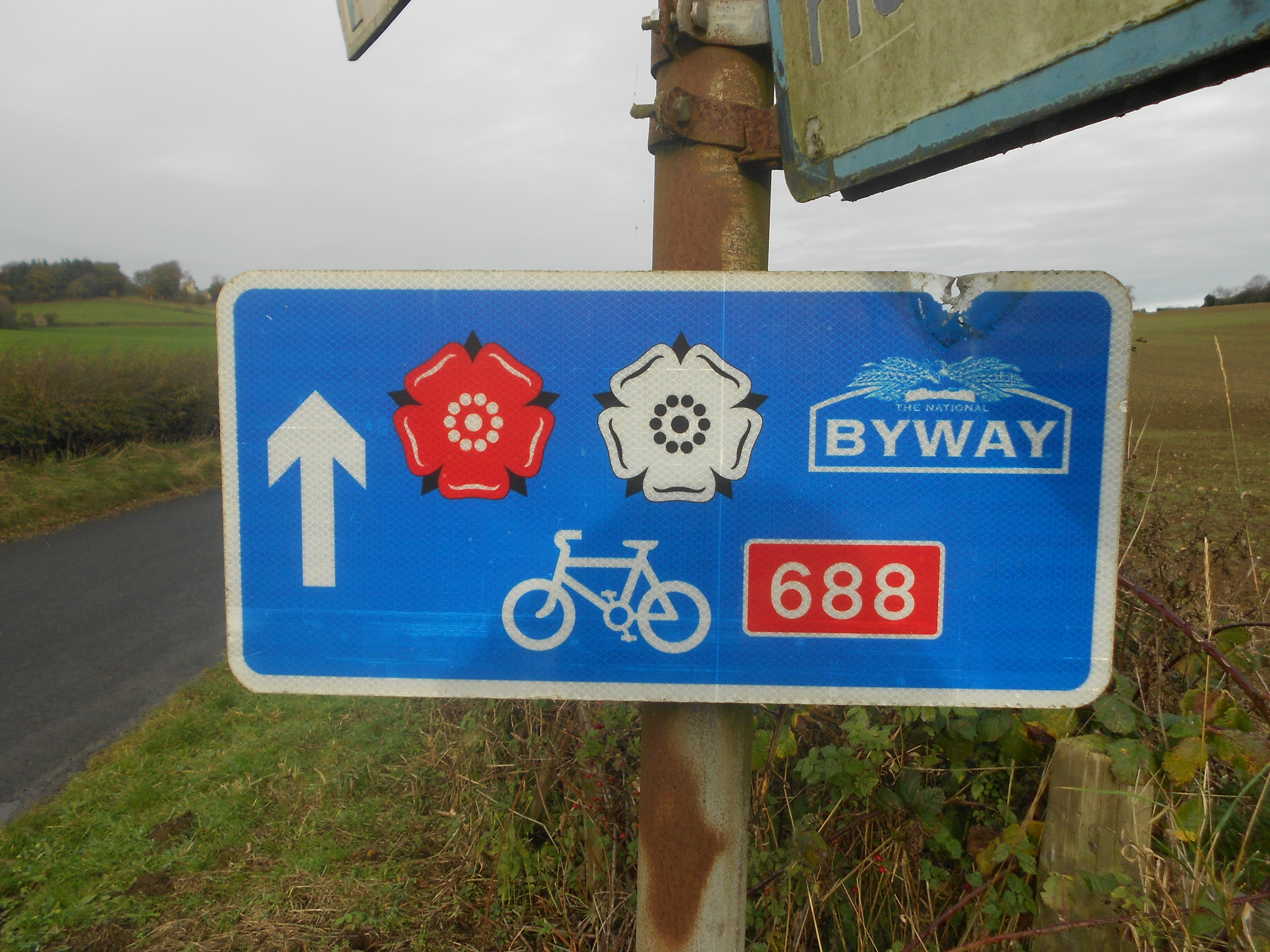
Way of the Roses

The Way of the Roses is the newest of Great Britain's coast-to-coast long-distance cycle routes and is based on minor roads, disused railway lines and...

Bishop Monkton Ings

Bishop Monkton Ings is a Site of Special Scientific Interest, or SSSI, situated east of Bishop Monkton village in North Yorkshire, England. It consists...

Westwick, North Yorkshire

Westwick is a civil parish in Harrogate district in North Yorkshire, England. It lies 3 miles (5 km) west of Boroughbridge, on the south bank of the River...
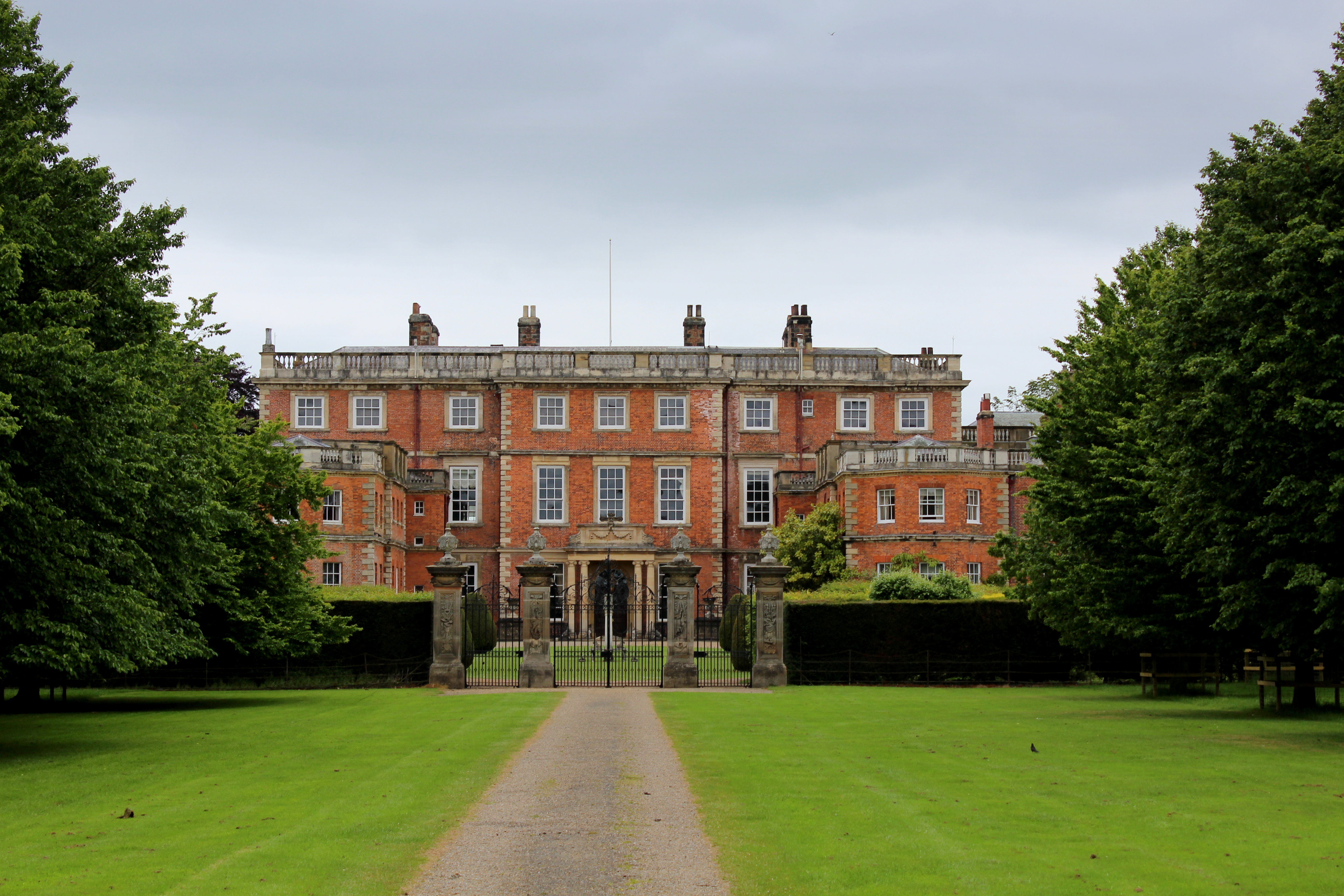
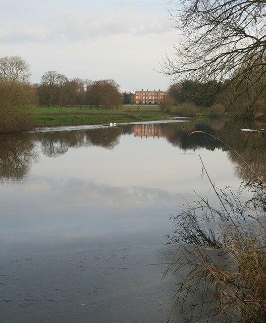
Newby Hall

Newby Hall is a country house beside the River Ure in the parish of Skelton-on-Ure in North Yorkshire, England. It is 3 miles (4.8 km) south-east of Ripon...

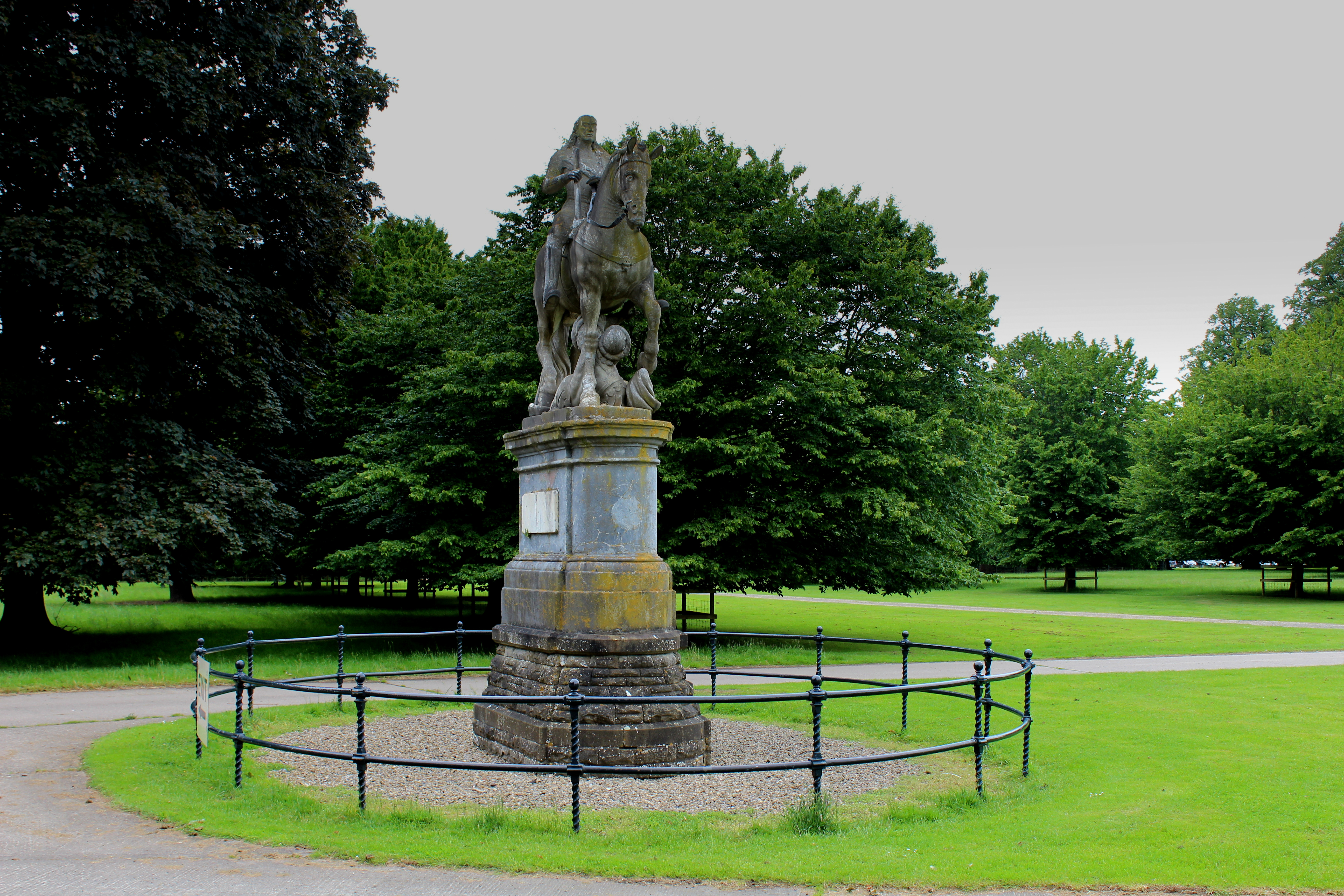
Equestrian statue of Charles II trampling Cromwell

An equestrian statue of Charles II trampling Cromwell stands near Newby Hall in North Yorkshire, England. It was previously sited at Gautby Hall in Lincolnshire...

Wormald Green

Wormald Green is a village in the civil parish of Markington with Wallerthwaite in the district of Harrogate, North Yorkshire, England. In 2016, Harrogate...

Burton Leonard

Burton Leonard is a village and civil parish in the Harrogate district of North Yorkshire, England, and approximately 7 miles (11 km) south from Ripon...

Nearby Amenities

Located within 500m of 54.093815,-1.501988
Barrier: stile
Lat/Long: 54.0962454/-1.4971366
Telephone
Booth: KX100
Covered: booth
Source: survey
Lat/Long: 54.0930029/-1.4960297
Post Box
Collection Times: Mo-Fr 09:00; Sa 07:00
Operator: Royal Mail
Post Box Type: wall
Ref: HG3 170D
Royal Cypher: EIIR
Royal Cypher Wikidata: Q33102113
Lat/Long: 54.0918824/-1.5025118
Post Box
Collection Times: Mo-Fr 17:15; Sa 11:15
Operator: Royal Mail
Post Box Type: pillar
Ref: HG3 185
Royal Cypher: EIIR
Royal Cypher Wikidata: Q33102113
Lat/Long: 54.0914262/-1.4976557
Ford: yes
Lat/Long: 54.0926619/-1.4964034
Barrier: stile
Lat/Long: 54.0958028/-1.4968861
Crossing
Lat/Long: 54.0926076/-1.5044695
Crossing
Lat/Long: 54.0921398/-1.500094
Crossing
Lat/Long: 54.0919268/-1.5022947
The data included in this document is from www.openstreetmap.org. The data is made available under ODbL.

Have you been to Bishop Monkton?

Leave your review of Bishop Monkton below (or comments, questions and feedback).