Birtsmorton

Civil Parish in Worcestershire Malvern Hills

England

Birtsmorton

A438 descends toward Rye Cross
A438 descends toward Rye Cross Credit: Peter Whatley

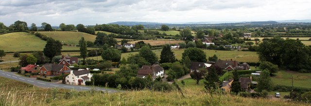
Birtsmorton is a civil parish located in Worcestershire, England. Situated in the Malvern Hills District, this quaint village is nestled in the beautiful countryside, offering picturesque views and a peaceful atmosphere. The parish covers an area of approximately 1,280 acres and is home to a small population.

The village of Birtsmorton is predominantly residential, with a scattering of charming cottages and houses. The centerpiece of the village is Birtsmorton Court, a stunning medieval moated manor house. This Grade I listed building dates back to the 14th century and is surrounded by beautiful gardens, making it a popular location for weddings and other events.

Nature enthusiasts will find plenty to explore in Birtsmorton. The parish is blessed with an abundance of natural beauty, including rolling hills, lush meadows, and ancient woodlands. The nearby Birtsmorton Pool, a designated Site of Special Scientific Interest, is a haven for wildlife and provides a peaceful spot for fishing or leisurely walks.

Despite its rural setting, Birtsmorton benefits from excellent transport links. The village is conveniently located near the A438 road, which connects to the nearby towns of Malvern and Tewkesbury. Worcester, the county town, is also within easy reach.

Birtsmorton offers a close-knit community feel, with a village hall that hosts various social events and activities throughout the year. The parish is served by a primary school and a church, adding to the sense of community spirit.

Overall, Birtsmorton is a charming and idyllic village, offering a tranquil lifestyle in the heart of the Worcestershire countryside.

If you have any feedback on the listing, please let us know in the comments section below.
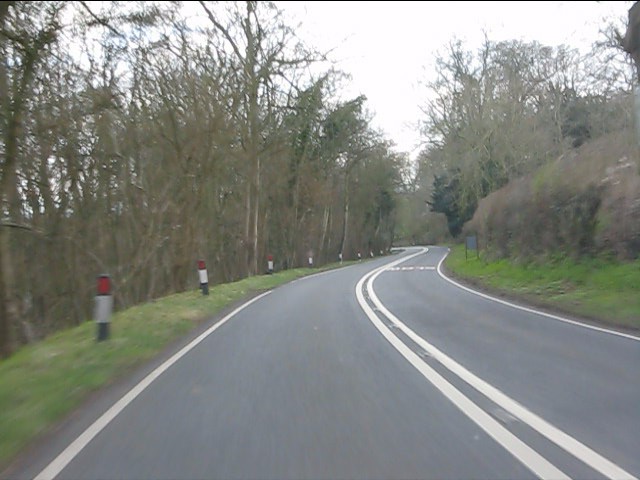
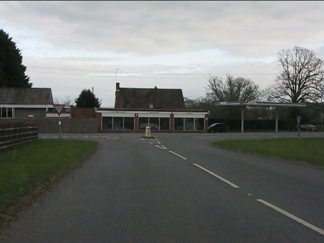
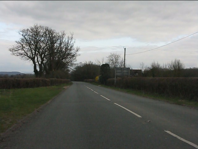
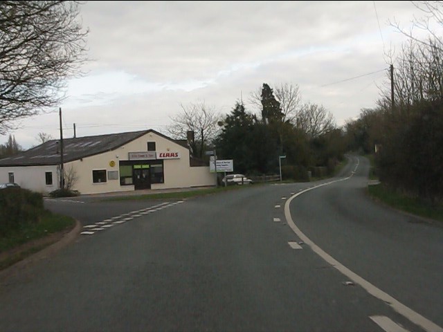
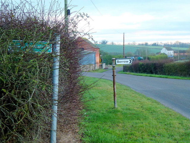
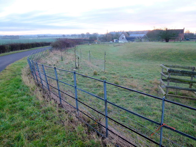
Birtsmorton Images

Images are sourced within 2km of 52.021244/-2.303122 or Grid Reference SO7935. Thanks to Geograph Open Source API. All images are credited.

A438 descends toward Rye Cross
A438 approaching Rye Cross The building houses G.Windle & Sons.  A filling station was also once operated here, but is now disused, though the canopy remains.
A438 approaching Rye Cross
The building houses G.Windle & Sons. A filling station was also once operated here, but is now disused, though the canopy remains.
A438 heading east from Rye Cross
A438 junction, Rye Street
The cyclist now departing... ...is heading for Berrow.
The cyclist now departing...
...is heading for Berrow.
House on the corner An isolated dwelling on the A483 near Berrow.
House on the corner
An isolated dwelling on the A483 near Berrow.
Coombegreen The view from Wendy Woodward's seat atop the hillock on Coombegreen Common.
Looking out to the houses on the B4208 and those on Birts Street.
<a href="https://www.geograph.org.uk/photo/2511815">SO7736 : Wendy Woodward's seat, Coombegreen Common</a>
Coombegreen
The view from Wendy Woodward's seat atop the hillock on Coombegreen Common. Looking out to the houses on the B4208 and those on Birts Street. SO7736 : Wendy Woodward's seat, Coombegreen Common
Wendy Woodward's seat, Coombegreen Common The seat is at the front of the hill overlooking the Severn Plain.
Behind are several commemorative trees including one dating back to 1937 for the King's Coronation.
<a href="https://www.geograph.org.uk/photo/2511845">SO7736 : Plaque on Wendy Woodward's seat, Coombe Green</a>
<a href="https://www.geograph.org.uk/photo/2511865">SO7736 : Wendy Woodward's seat, Coombe Green Common</a>
<a href="https://www.geograph.org.uk/photo/2511797">SO7736 : Coombegreen</a>
Wendy Woodward's seat, Coombegreen Common
The seat is at the front of the hill overlooking the Severn Plain. Behind are several commemorative trees including one dating back to 1937 for the King's Coronation. SO7736 : Plaque on Wendy Woodward's seat, Coombe Green SO7736 : Wendy Woodward's seat, Coombe Green Common SO7736 : Coombegreen
Plaque on Wendy Woodward's seat, Coombe Green In loving memory of
Wendy Woodward
Died 3 March 2004 aged 90 years
Enjoy the view as she did
<a href="https://www.geograph.org.uk/photo/2511815">SO7736 : Wendy Woodward's seat, Coombegreen Common</a>
Plaque on Wendy Woodward's seat, Coombe Green
In loving memory of Wendy Woodward Died 3 March 2004 aged 90 years Enjoy the view as she did SO7736 : Wendy Woodward's seat, Coombegreen Common
Wendy Woodward's seat, Coombe Green Common At the front of the hill overlooking the Severn Plain.
<a href="https://www.geograph.org.uk/photo/2511815">SO7736 : Wendy Woodward's seat, Coombegreen Common</a>
Wendy Woodward's seat, Coombe Green Common
At the front of the hill overlooking the Severn Plain. SO7736 : Wendy Woodward's seat, Coombegreen Common
Rye Street Well-kept council cottages in a small cul-de-sac to the left.
A nice willow in the front garden.
Rye Street
Well-kept council cottages in a small cul-de-sac to the left. A nice willow in the front garden.
Smallholding in Rye Street Well a few ducks and two ponies in a field with a public path heading north to Birtsmorton.
The Malvern Hills discernible in the distance.
Smallholding in Rye Street
Well a few ducks and two ponies in a field with a public path heading north to Birtsmorton. The Malvern Hills discernible in the distance.
St. Faith's church, Berrow A scattered country parish in South Worcestershire.
The first rays of the day's sunlight are catching the east window.
St. Faith's church, Berrow
A scattered country parish in South Worcestershire. The first rays of the day's sunlight are catching the east window.
Village hall and tree The epicentre of the scattered parish of Berrow.
Village hall and tree
The epicentre of the scattered parish of Berrow.
Rape crop and a view to the Malvern Hills Pre-sunrise shot from Berrow.
Rape crop and a view to the Malvern Hills
Pre-sunrise shot from Berrow.
Track and footpath Leading from Berrow church towards Underhill Farm.
Sun is rising over to the left.
Track and footpath
Leading from Berrow church towards Underhill Farm. Sun is rising over to the left.
Path and road junction The view is east towards Whiting-ash and Lower Whiting Farm.
Path and road junction
The view is east towards Whiting-ash and Lower Whiting Farm.
Pasture near Holiday's Farm Pre-sunrise hence the blue overtones.
Pasture near Holiday's Farm
Pre-sunrise hence the blue overtones.
Show me another place!

Birtsmorton is located at Grid Ref: SO7935 (Lat: 52.021244, Lng: -2.303122)

Administrative County: Worcestershire

District: Malvern Hills

Police Authority: West Mercia

What 3 Words

///feuds.also.visits. Near Corse, Gloucestershire

Nearby Locations

Birtsmorton

Related Wikis

Birtsmorton Court

Birtsmorton Court is a Grade I listed fortified medieval moated manor house near Malvern in Worcestershire, in the former woodlands of Malvern Chase.It...

Birtsmorton

Birtsmorton is a village and civil parish in the Malvern Hills of Worcestershire, England, which at the 2021 census had a population of 257. It is in...

Birts Street

Birts Street is a village in Worcestershire, England.

Castlemorton

Castlemorton is a village and civil parish close to Malvern in the Malvern Hills District in the county of Worcestershire, England. It consists of a...

Nearby Amenities

Located within 500m of 52.021244,-2.303122
Post Box
Fixme: Need to go again. GPS position seems wrong side of wall !
Fixme2: ref is conjectural
Post Box Type: wall
Ref: WR13 111
Lat/Long: 52.0183784/-2.3052115
Power: pole
Lat/Long: 52.020339/-2.3041185
Power: pole
Lat/Long: 52.0196309/-2.305194
Power: pole
Lat/Long: 52.0183814/-2.3076
Power: pole
Lat/Long: 52.0219627/-2.2974298
Power: pole
Lat/Long: 52.022415/-2.2987225
Power: pole
Lat/Long: 52.0228523/-2.2999724
Barrier: stile
Foot: yes
Lat/Long: 52.0247386/-2.305188
Barrier: stile
Foot: yes
Lat/Long: 52.0238954/-2.3047241
Barrier: stile
Foot: yes
Lat/Long: 52.0239837/-2.2994766
Barrier: stile
Foot: yes
Lat/Long: 52.0253399/-2.3003149
Gate
Name En: Gate
Tourism: information
Lat/Long: 52.0227741/-2.3029692
Power: pole
Lat/Long: 52.0237537/-2.3025262
Power: pole
Lat/Long: 52.0190117/-2.3062719
The Rectory
Power: pole
Transformer: distribution
Voltage Primary: 11000
Lat/Long: 52.0183102/-2.3042522
Power: pole
Lat/Long: 52.0217628/-2.3018979
Power: pole
Lat/Long: 52.0209747/-2.3031197
Pope Hayes Farm House
Power: pole
Transformer: distribution
Voltage Primary: 11000
Lat/Long: 52.0224713/-2.3008499
Power: pole
Lat/Long: 52.0227205/-2.3009283
Power: pole
Lat/Long: 52.0232718/-2.3011677
Power: pole
Lat/Long: 52.0218441/-2.2965127
Power: pole
Lat/Long: 52.0247403/-2.3053131
Birts Street East
Power: pole
Transformer: distribution
Voltage Primary: 11000
Lat/Long: 52.0246714/-2.306461
Power: pole
Lat/Long: 52.0249233/-2.3059296
Power: pole
Lat/Long: 52.0255329/-2.3031995
Power: pole
Lat/Long: 52.0242342/-2.3038791
Power: pole
Lat/Long: 52.0240058/-2.303236
The data included in this document is from www.openstreetmap.org. The data is made available under ODbL.

Have you been to Birtsmorton?

Leave your review of Birtsmorton below (or comments, questions and feedback).