Billingley
Civil Parish in Yorkshire Barnsley
England
Billingley
Billingley is a small civil parish located in the metropolitan borough of Barnsley, in the county of Yorkshire, England. It is situated approximately 5 miles to the east of Barnsley town center. The village is surrounded by picturesque countryside, with rolling hills and green fields.
With a population of around 300 residents, Billingley has a close-knit community atmosphere. The village is characterized by its charming traditional stone-built houses, many of which date back to the 18th and 19th centuries. The local architecture reflects the area's rich history and rural heritage.
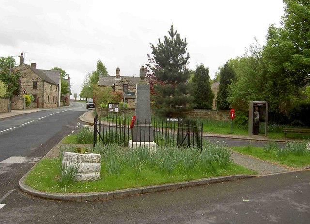
The main focal point of the village is St. Helen's Church, which stands proudly at the heart of Billingley. This historic church is believed to have origins dating back to the 12th century and is known for its beautiful stained glass windows and impressive tower.
Agriculture has long been an important part of the local economy, with farming and livestock rearing being prominent activities in the area. Billingley benefits from its proximity to the surrounding countryside, offering residents and visitors numerous opportunities for outdoor activities such as walking, cycling, and horse riding.
While the village itself is small, there are nearby amenities and services available in the neighboring towns and villages. The village is located within easy reach of Barnsley, which offers a wider range of shops, supermarkets, schools, and healthcare facilities.
Overall, Billingley, Yorkshire, is a tranquil and picturesque village that preserves its rural character while providing access to the amenities of larger nearby towns. It is an idyllic location for those seeking a peaceful countryside lifestyle.
If you have any feedback on the listing, please let us know in the comments section below.
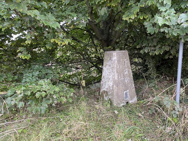
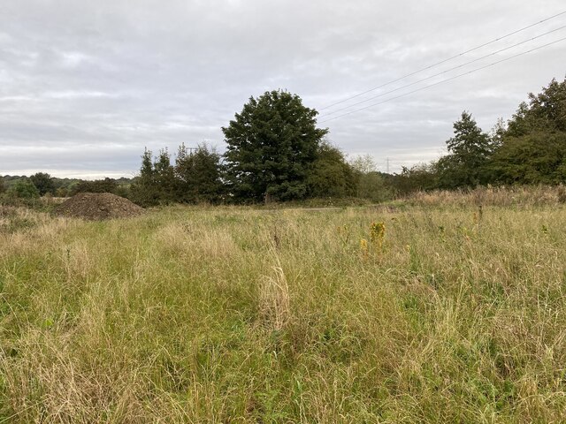
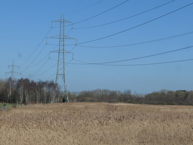
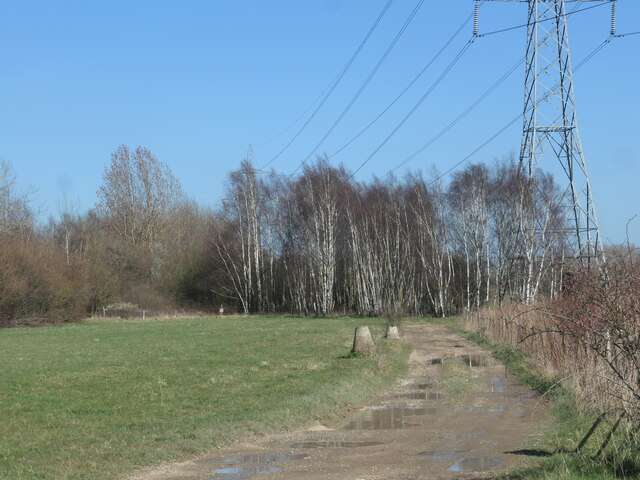
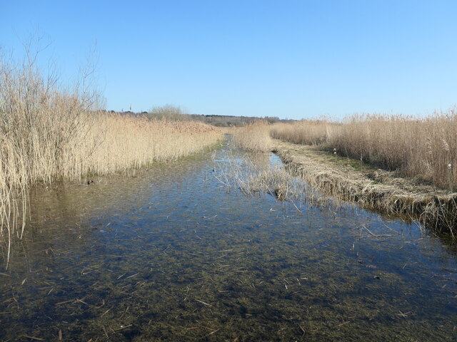
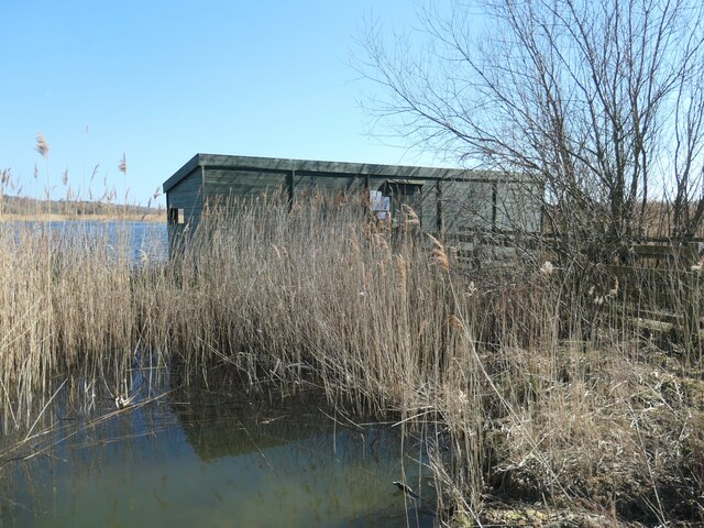
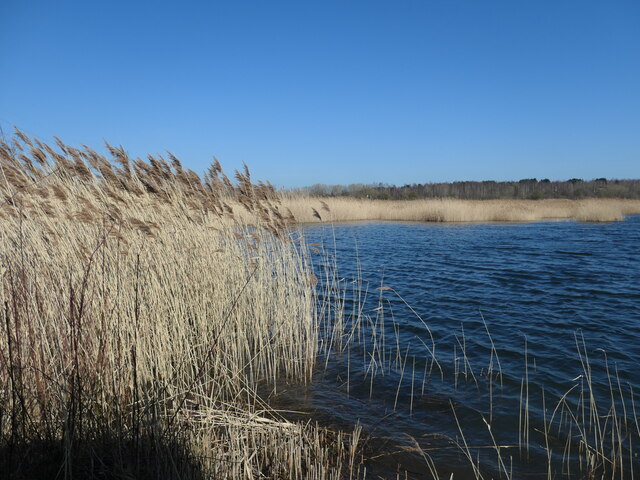
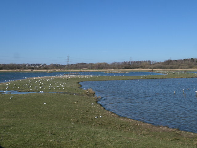
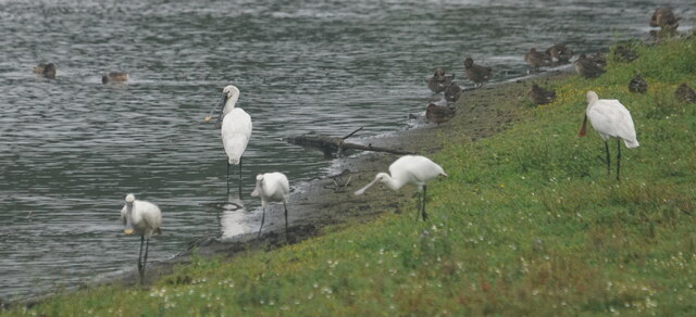
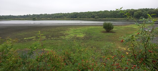
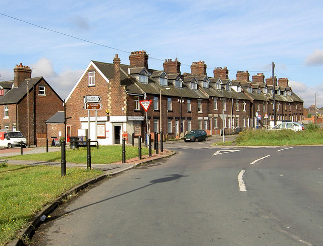
Billingley Images
Images are sourced within 2km of 53.532791/-1.345757 or Grid Reference SE4304. Thanks to Geograph Open Source API. All images are credited.


Billingley is located at Grid Ref: SE4304 (Lat: 53.532791, Lng: -1.345757)
Division: West Riding
Administrative County: South Yorkshire
District: Barnsley
Police Authority: South Yorkshire
What 3 Words
///runner.daredevil.batches. Near Little Houghton, South Yorkshire
Nearby Locations
Related Wikis
Billingley
Billingley is a village and civil parish in the Metropolitan Borough of Barnsley, in South Yorkshire, England, 7 miles (11 km) east of Barnsley. At the...

Millhouses, Barnsley
Millhouses is a district of Barnsley in the English county of South Yorkshire. Millhouses adjoins the town of Darfield near the A635 road to the east of...
Middlecliffe
Middlecliffe is a small hamlet in South Yorkshire, England. It straddles the road between Darfield and Great Houghton, close to Barnsley, where Middlecliff...

Barnsley East and Mexborough (UK Parliament constituency)
Barnsley East and Mexborough was a Parliamentary constituency in South Yorkshire which returned one Member of Parliament (MP) to the House of Commons of...
Nearby Amenities
Located within 500m of 53.532791,-1.345757Have you been to Billingley?
Leave your review of Billingley below (or comments, questions and feedback).