Betley
Civil Parish in Staffordshire Newcastle-under-Lyme
England
Betley
Betley is a civil parish located in the county of Staffordshire, England. Situated approximately 11 miles southwest of Stoke-on-Trent, it is a small rural village with a population of around 1,500 people. The parish covers an area of approximately 7 square miles.
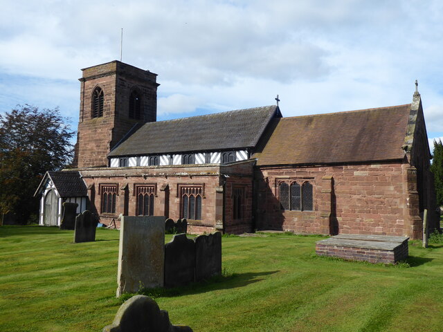
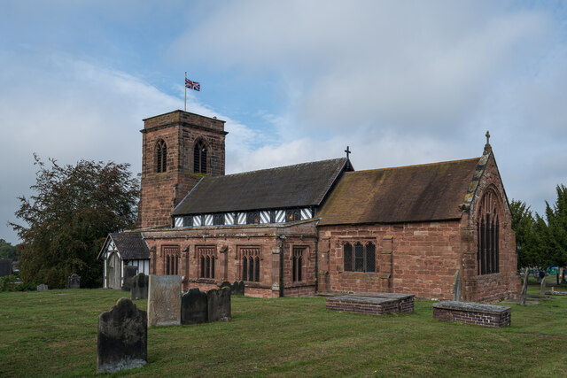
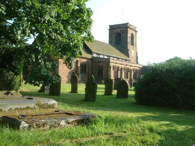
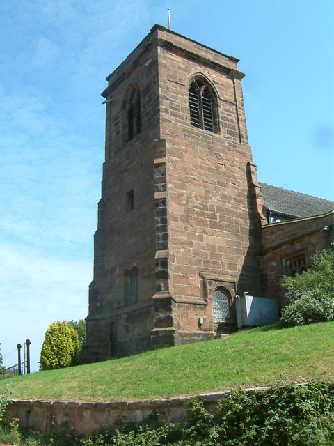
The village of Betley has a rich history, with evidence of human habitation dating back to prehistoric times. In medieval times, it was an important center for the salt trade, and remnants of this can still be seen in the village's architecture. The Church of St. Margaret, dating back to the 13th century, is a prominent landmark in the area.
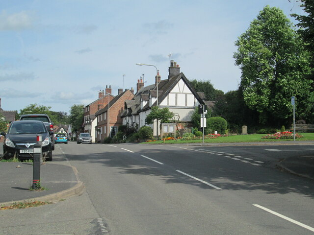
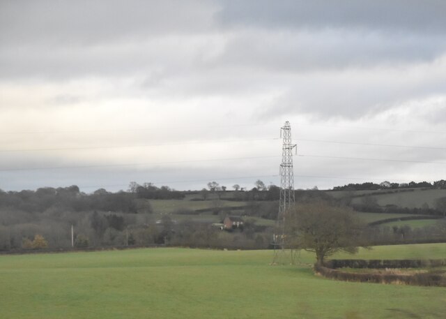
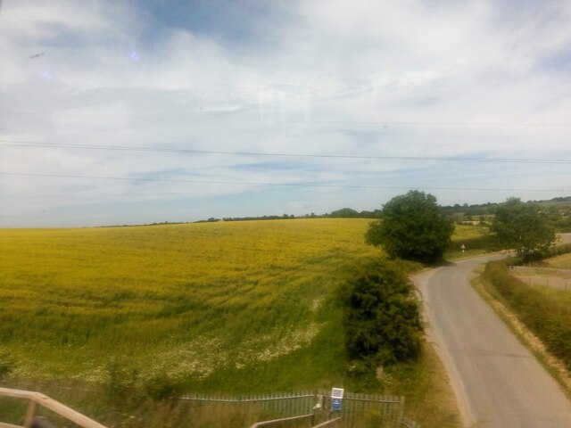
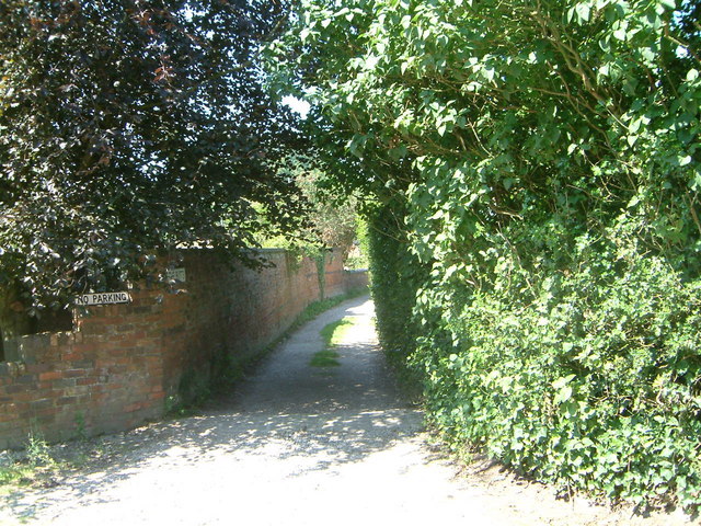
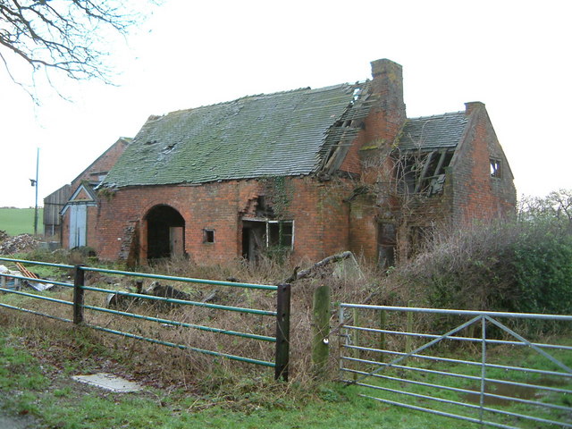
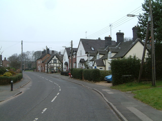
Betley is known for its picturesque countryside, with rolling hills, fields, and woodlands surrounding the village. It is a popular destination for outdoor enthusiasts, offering opportunities for walking, cycling, and horse riding. The village is also home to a number of historical buildings, including several listed houses and cottages.
The community in Betley is close-knit and friendly, with various amenities available for residents and visitors. These include a village hall, a primary school, a pub, and a post office. Betley also hosts a number of annual events, such as the Betley Show, an agricultural and horticultural show that attracts visitors from across the region.
Overall, Betley offers a tranquil and picturesque setting, with a rich history and a strong sense of community. It is a charming village that provides a peaceful retreat for both residents and visitors alike.
If you have any feedback on the listing, please let us know in the comments section below.
Betley Images
Images are sourced within 2km of 53.029094/-2.362373 or Grid Reference SJ7548. Thanks to Geograph Open Source API. All images are credited.


Betley is located at Grid Ref: SJ7548 (Lat: 53.029094, Lng: -2.362373)
Administrative County: Staffordshire
District: Newcastle-under-Lyme
Police Authority: Staffordshire
What 3 Words
///doing.mailings.though. Near Betley, Staffordshire
Related Wikis

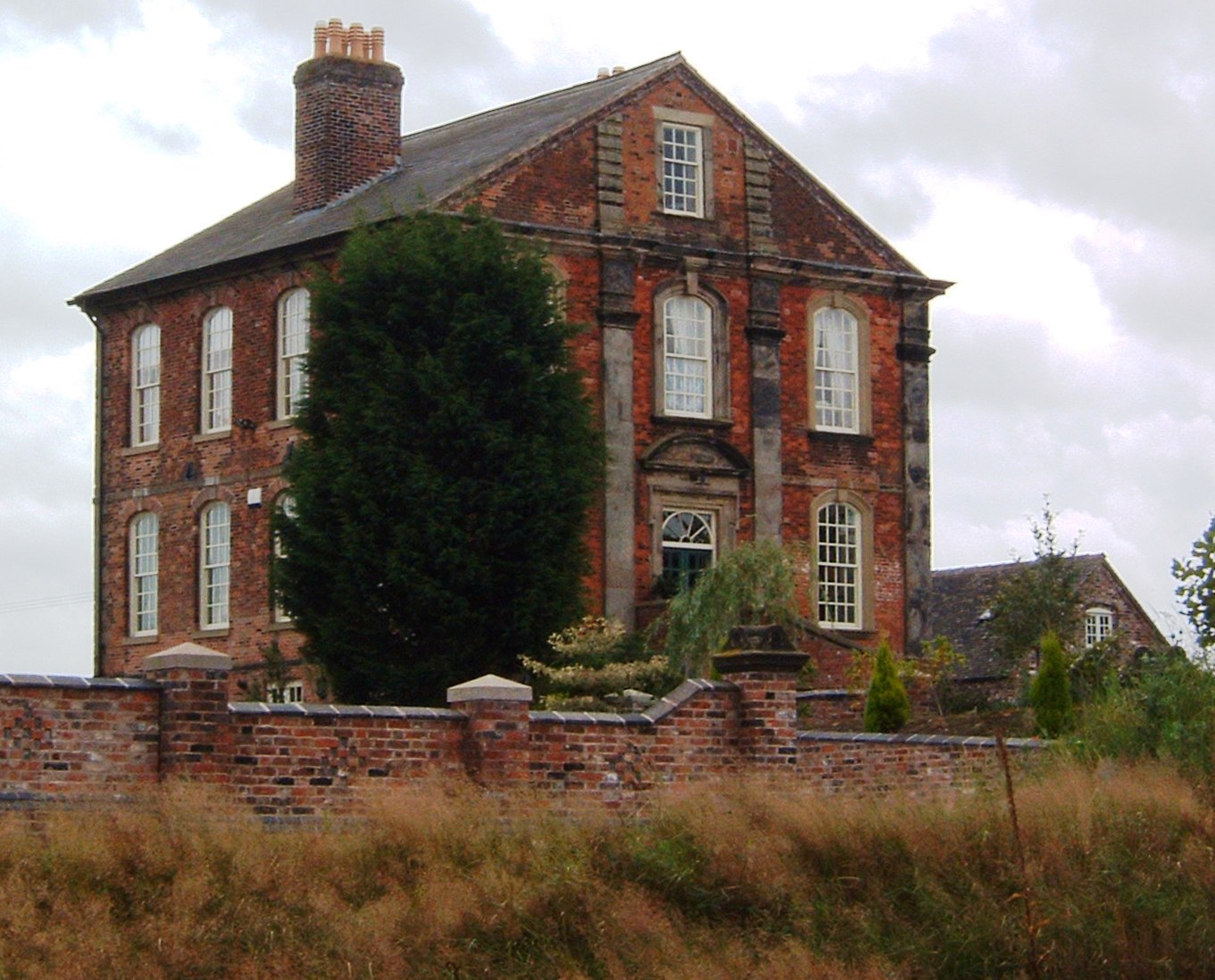
Betley Court
Betley Court is an 18th-century country house in the ancient village of Betley, near Newcastle-under-Lyme, Staffordshire. It is a Grade II* listed building...

Betley
Betley is a village and civil parish in the borough of Newcastle-under-Lyme in Staffordshire, England, about halfway between the town of Newcastle-under...
Wrinehill
Wrinehill, also called Checkley cum Wrinehill, is a village in the north-west of Staffordshire on the A531 road lying adjacent to the southern border of...

Balterley Green
Balterley Green is a village in Staffordshire, England. The population at the 2011 population can be found under Balterley

Betley Road railway station
Betley Road was a station on the London and North Western Railway serving Betley, Staffordshire. It opened in 1875 and closed in 1945. == References... ==

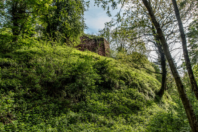
Heighley Castle
Heighley Castle (or Heleigh Castle) is a ruined medieval castle near Madeley, Staffordshire. The castle was completed by the Audley family in 1233 and...

Checkley cum Wrinehill
Checkley cum Wrinehill is a former civil parish, now in the parish of Doddington and District, in the unitary authority area of Cheshire East and the ceremonial...

Black Firs and Cranberry Bog
Black Firs and Cranberry Bog is a nature reserve of the Staffordshire Wildlife Trust, adjacent to Balterley Heath and about 1 mile (1.6 km) north of the...
Nearby Amenities
Located within 500m of 53.029094,-2.362373Have you been to Betley?
Leave your review of Betley below (or comments, questions and feedback).