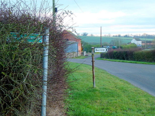
Berrow

Civil Parish in Worcestershire Malvern Hills

England

Berrow

M50 looking west near Pendock
M50 looking west near Pendock Credit: Colin Pyle

Berrow is a civil parish located in the county of Worcestershire, England. Situated on the western edge of the county, it lies approximately 7 miles to the south of the town of Malvern and 14 miles west of the city of Worcester. The parish is situated in the administrative district of Malvern Hills.

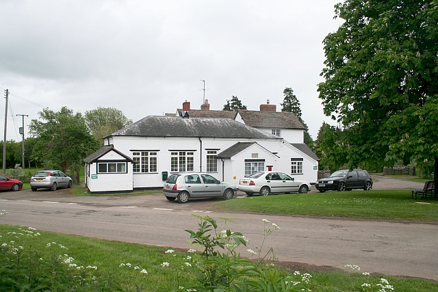
Berrow is a small village with a population of around 400 residents. It is primarily a residential area, with a mix of houses and cottages. The village is surrounded by picturesque countryside, offering stunning views of the Malvern Hills.

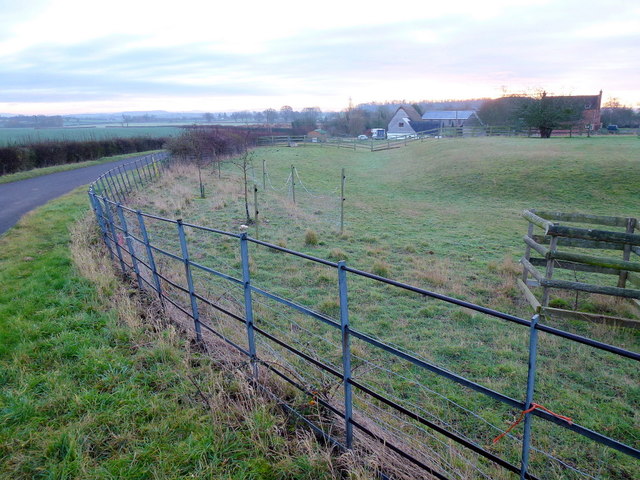
The area is known for its agricultural heritage, with farming being a significant economic activity in the region. The fertile soil of the parish supports the growth of crops such as wheat, barley, and potatoes. Livestock farming, particularly sheep and cattle rearing, also contributes to the local economy.

Berrow has a close-knit community and is home to a local primary school, providing education for the village and the surrounding areas. The parish also boasts a historic church, St. Faith's, which dates back to the 12th century and is a notable architectural landmark.

While Berrow is predominantly a rural area, it benefits from its proximity to larger towns and cities. Residents have easy access to amenities and services in nearby Malvern and Worcester, including shops, healthcare facilities, and leisure activities.

Overall, Berrow offers a tranquil and picturesque countryside setting, making it an attractive place to live for those seeking a peaceful rural lifestyle.

If you have any feedback on the listing, please let us know in the comments section below.

Berrow Images

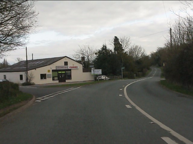
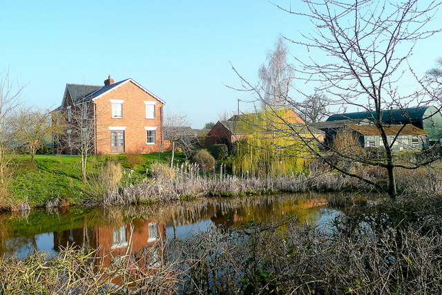
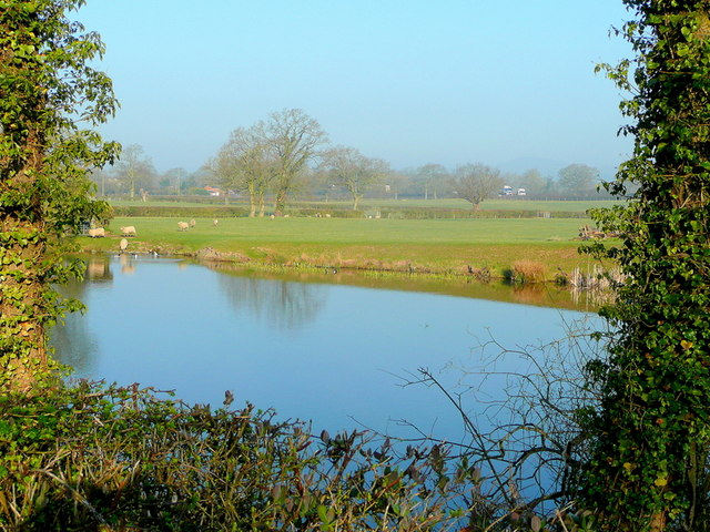
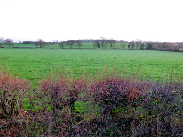
Images are sourced within 2km of 52.008834/-2.3143 or Grid Reference SO7834. Thanks to Geograph Open Source API. All images are credited.

M50 looking west near Pendock
A438 descends toward Rye Cross
A438 approaching Rye Cross The building houses G.Windle & Sons.  A filling station was also once operated here, but is now disused, though the canopy remains.
A438 approaching Rye Cross
The building houses G.Windle & Sons. A filling station was also once operated here, but is now disused, though the canopy remains.
A438 heading east from Rye Cross
A438 junction, Rye Street
The cyclist now departing... ...is heading for Berrow.
The cyclist now departing...
...is heading for Berrow.
House on the corner An isolated dwelling on the A483 near Berrow.
House on the corner
An isolated dwelling on the A483 near Berrow.
Cromer Pit Pond, Pendock In bright March sunshine.
Cromer Pit Pond, Pendock
In bright March sunshine.
Cromer Pit Pond, Pendock Looking across the pond on a March morning and hearing the M50 traffic, just visible, beyond.
Cromer Pit Pond, Pendock
Looking across the pond on a March morning and hearing the M50 traffic, just visible, beyond.
View towards Berrow Wood Shot at dawn; the pastoral landscape is typical of South Worcestershire.
View towards Berrow Wood
Shot at dawn; the pastoral landscape is typical of South Worcestershire.
Rye Street Well-kept council cottages in a small cul-de-sac to the left.
A nice willow in the front garden.
Rye Street
Well-kept council cottages in a small cul-de-sac to the left. A nice willow in the front garden.
Smallholding in Rye Street Well a few ducks and two ponies in a field with a public path heading north to Birtsmorton.
The Malvern Hills discernible in the distance.
Smallholding in Rye Street
Well a few ducks and two ponies in a field with a public path heading north to Birtsmorton. The Malvern Hills discernible in the distance.
St. Faith's church, Berrow A scattered country parish in South Worcestershire.
The first rays of the day's sunlight are catching the east window.
St. Faith's church, Berrow
A scattered country parish in South Worcestershire. The first rays of the day's sunlight are catching the east window.
Village hall and tree The epicentre of the scattered parish of Berrow.
Village hall and tree
The epicentre of the scattered parish of Berrow.
Rape crop and a view to the Malvern Hills Pre-sunrise shot from Berrow.
Rape crop and a view to the Malvern Hills
Pre-sunrise shot from Berrow.
Track and footpath Leading from Berrow church towards Underhill Farm.
Sun is rising over to the left.
Track and footpath
Leading from Berrow church towards Underhill Farm. Sun is rising over to the left.
Path and road junction The view is east towards Whiting-ash and Lower Whiting Farm.
Path and road junction
The view is east towards Whiting-ash and Lower Whiting Farm.
Pasture near Holiday's Farm Pre-sunrise hence the blue overtones.
Pasture near Holiday's Farm
Pre-sunrise hence the blue overtones.
Show me another place!

Berrow is located at Grid Ref: SO7834 (Lat: 52.008834, Lng: -2.3143)

Administrative County: Worcestershire

District: Malvern Hills

Police Authority: West Mercia

What 3 Words

///knowledge.overheat.venue. Near Corse, Gloucestershire

Nearby Locations

Berrow White End

Related Wikis

Berrow, Worcestershire

Berrow is a village and civil parish in the Malvern Hills district of Worcestershire, England, about seven miles east of Ledbury. According to the 2021...

Rye Cross

Rye Cross is a hamlet in south-west Worcestershire 1 mile west of Castlemorton, 0.5 miles east of Berrow and 1 mile south of Hollybush, near the borders...

Birtsmorton Court

Birtsmorton Court is a Grade I listed fortified medieval moated manor house near Malvern in Worcestershire, in the former woodlands of Malvern Chase.It...

Birtsmorton

Birtsmorton is a village and civil parish in the Malvern Hills of Worcestershire, England, which at the 2021 census had a population of 257. It is in...

Nearby Amenities

Located within 500m of 52.008834,-2.3143
Post Box
Post Box Type: wall
Ref: WR13 118D
Royal Cypher: VR
Royal Cypher Wikidata: Q33102356
Lat/Long: 52.0075128/-2.3118624
Power: pole
Lat/Long: 52.0120263/-2.3186688
White End
Place: hamlet
Source Name: OS_OpenData_StreetView
Lat/Long: 52.0075612/-2.3131859
Power: pole
Lat/Long: 52.0112861/-2.3173267
Power: pole
Lat/Long: 52.0088723/-2.3150084
White End South
Power: pole
Transformer: distribution
Voltage Primary: 11000
Lat/Long: 52.0060877/-2.3110961
Power: pole
Lat/Long: 52.0064784/-2.312238
Power: pole
Lat/Long: 52.0067627/-2.313081
Power: pole
Lat/Long: 52.0071914/-2.3140249
Power: pole
Lat/Long: 52.0064678/-2.3194404
Power: pole
Lat/Long: 52.0073707/-2.3208619
Power: pole
Lat/Long: 52.0060754/-2.3188495
Power: pole
Lat/Long: 52.0063695/-2.3178653
Power: pole
Lat/Long: 52.0069657/-2.3163779
Power: pole
Lat/Long: 52.00741/-2.3152751
Power: pole
Lat/Long: 52.0077285/-2.3144512
White End
Power: pole
Transformer: distribution
Voltage Primary: 11000
Lat/Long: 52.0081416/-2.3148275
Power: pole
Lat/Long: 52.0084031/-2.3148933
Power: pole
Lat/Long: 52.0095448/-2.3151764
Power: pole
Lat/Long: 52.0102236/-2.3153717
Whiting Ash
Power: pole
Transformer: distribution
Voltage Primary: 11000
Lat/Long: 52.0106016/-2.3157693
Power: pole
Lat/Long: 52.0106329/-2.3158707
The data included in this document is from www.openstreetmap.org. The data is made available under ODbL.

Have you been to Berrow?

Leave your review of Berrow below (or comments, questions and feedback).