Berinsfield
Civil Parish in Oxfordshire South Oxfordshire
England
Berinsfield

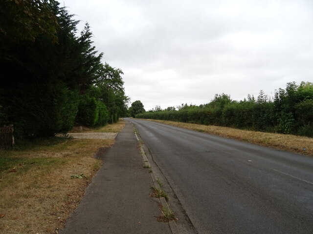
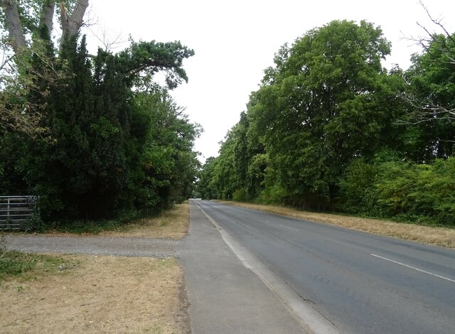
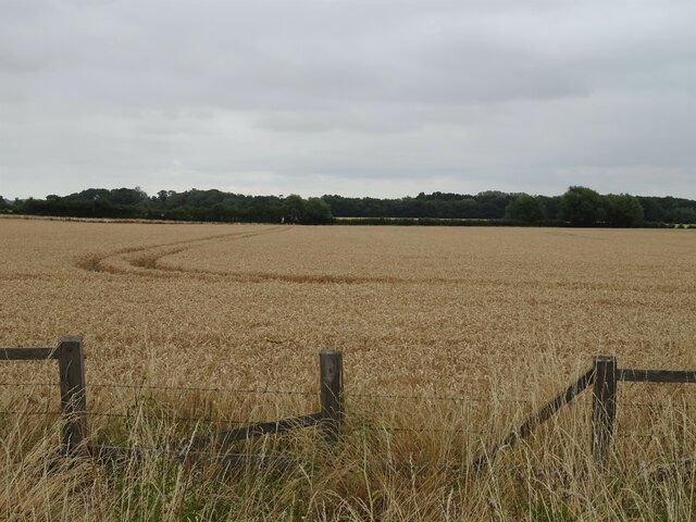
Berinsfield is a civil parish located in the county of Oxfordshire, England. Situated about 8 miles southeast of the city of Oxford, the village is nestled in the valley of the River Thame. The area covers around 1,200 acres of land, mainly consisting of agricultural fields and small pockets of woodland.
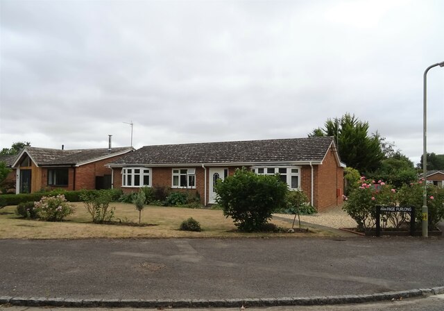
Originally established in the 1950s as a new town to accommodate the growing population of Oxford, Berinsfield has transitioned into a vibrant village community over the years. The development of the village was centered around a large housing estate, which now forms the heart of the area. The architecture is predominantly made up of post-war, low-rise council housing, interspersed with some newer private homes.
Berinsfield offers a range of amenities and services to cater to the needs of its residents. The village boasts a primary school, a community center, a library, and a health center. There are also several recreational facilities, including a sports center, playing fields, and a skate park. The village is well-served by public transport, with regular bus services connecting it to Oxford and nearby towns.
Despite its relatively small size, Berinsfield has a strong sense of community spirit. It hosts various events and activities throughout the year, including a summer carnival and a Christmas market. The village also has several local clubs and organizations, providing opportunities for socializing and engagement.
Overall, Berinsfield is a thriving civil parish that combines its historical roots as a new town with a modern and inclusive community atmosphere.
If you have any feedback on the listing, please let us know in the comments section below.
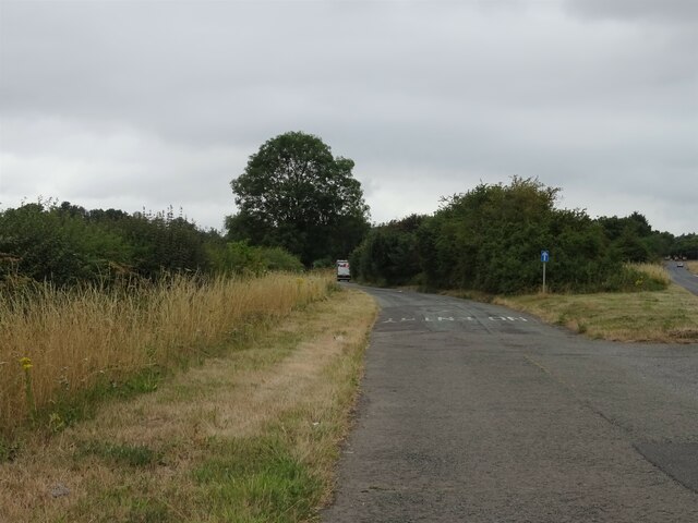
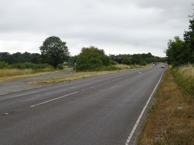
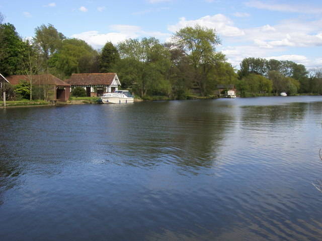
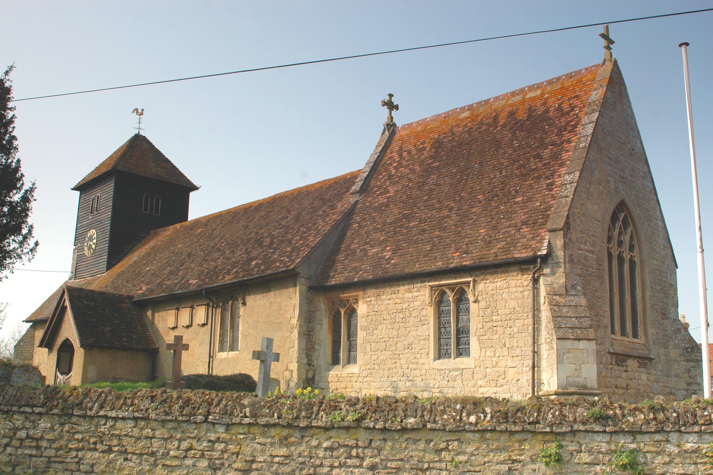
Berinsfield Images
Images are sourced within 2km of 51.663034/-1.165512 or Grid Reference SU5796. Thanks to Geograph Open Source API. All images are credited.


Berinsfield is located at Grid Ref: SU5796 (Lat: 51.663034, Lng: -1.165512)
Administrative County: Oxfordshire
District: South Oxfordshire
Police Authority: Thames Valley
What 3 Words
///kickers.disengage.blog. Near Radley, Oxfordshire
Nearby Locations
Related Wikis

Berinsfield
Berinsfield is an English village and civil parish in South Oxfordshire, about 7 miles (11 km) southeast of Oxford. The 2011 Census recorded the parish...
Burcot, Oxfordshire
Burcot is a hamlet in the civil parish of Clifton Hampden, in the South Oxfordshire district, in the county of Oxfordshire, England. It is on the left...
Drayton St. Leonard
Drayton St. Leonard is a village and civil parish on the River Thame in Oxfordshire, about 8 miles (13 km) southeast of Oxford. == Manor == The Domesday...

Little Baldon air crash
The Little Baldon air crash occurred on 6 July 1965 when a Handley Page Hastings C1A transport aircraft operated by No. 36 Squadron Royal Air Force, registration...

Aston Martin Heritage Trust Museum
The Aston Martin Heritage Trust (AMHT) is a Charitable Incorporated Organisation that manages the Aston Martin Museum an automobile museum presenting...
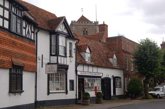
Dorchester on Thames
Dorchester on Thames (or Dorchester-on-Thames) is a village and civil parish in Oxfordshire, about 3 miles (5 km) northwest of Wallingford and 8 miles...
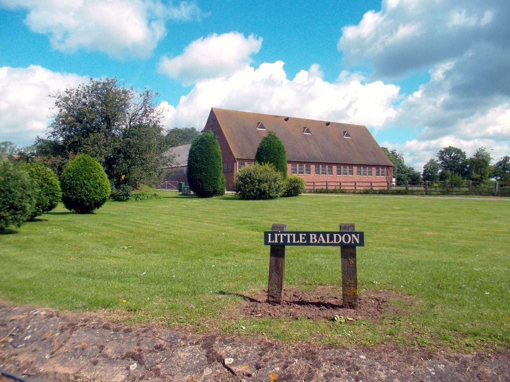
Little Baldon
Little Baldon is a hamlet in the Marsh Baldon civil parish, about 5 miles (8 km) southeast of Oxford in Oxfordshire, south of Marsh Baldon and west of...

Culham Rural District
Culham was a rural district in Oxfordshire, England, from 1894 to 1932. It was formed under the Local Government Act 1894 from the part of the Abingdon...
Nearby Amenities
Located within 500m of 51.663034,-1.165512Have you been to Berinsfield?
Leave your review of Berinsfield below (or comments, questions and feedback).