Bergh Apton

Civil Parish in Norfolk South Norfolk

England

Bergh Apton

14-16 Church Road, Bergh Apton One of several distinctive and thoughtful council housing projects by Herbert Tayler & David Green for Loddon District Council. Built 1951-56 - the year of completion is picked out in white brick on the end wall. Grade II listed.
14-16 Church Road, Bergh Apton Credit: Stephen Richards

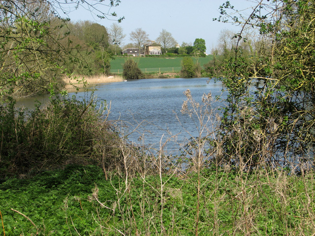
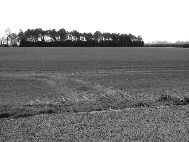
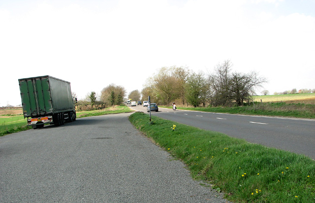
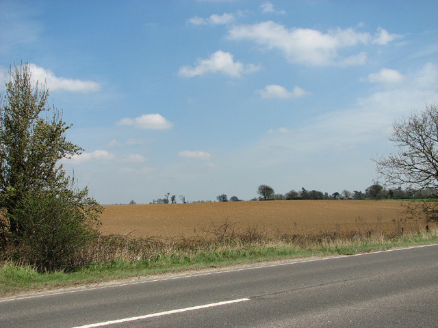
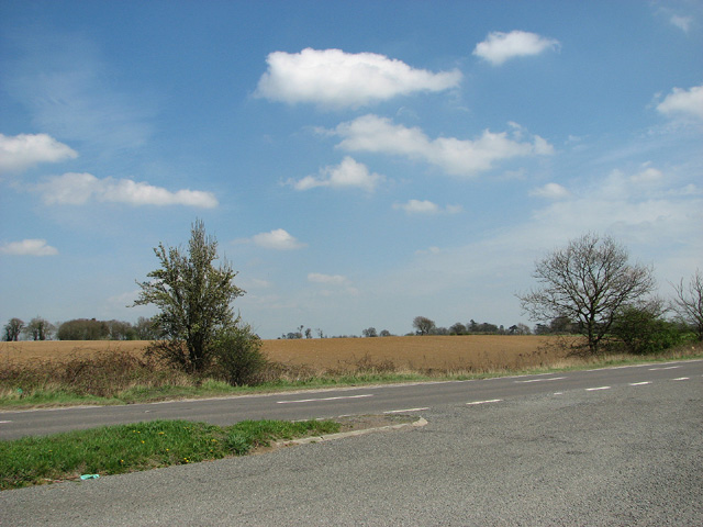
Bergh Apton is a civil parish located in the county of Norfolk, England. It is situated about 10 miles southeast of the city of Norwich, in the South Norfolk district. The parish covers an area of approximately 5.8 square miles and is surrounded by beautiful rural countryside.

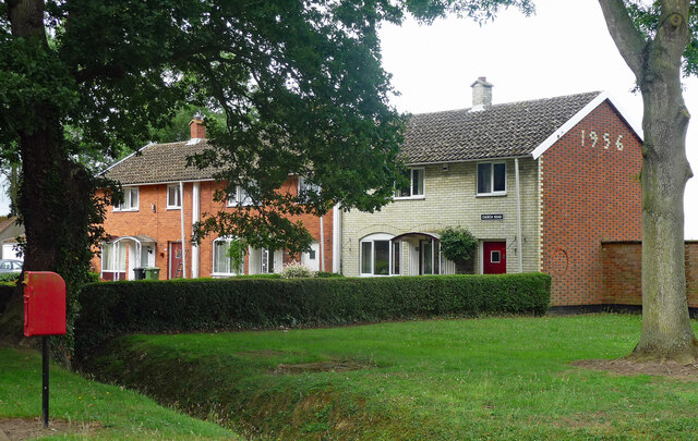
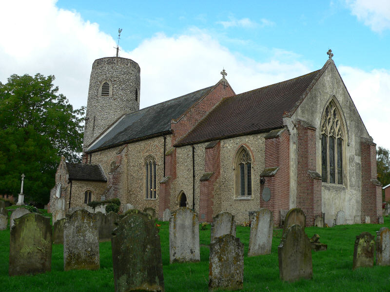
The village itself is home to a small population of around 300 residents. It has a charming and picturesque character, with a mix of traditional thatched cottages and more modern houses. The village features a well-preserved medieval church, St. Peter and St. Paul, which dates back to the 14th century and is known for its stunning stained glass windows.

A notable landmark in Bergh Apton is the famous "Battle of Bergh Apton" mural. Painted by local artist John Moray-Smith in 1981, the mural is a large-scale artwork depicting a fictional battle scene. It is located on the side of a barn and has become a popular tourist attraction in the area.

The village has limited amenities, with a village hall serving as a community hub and hosting various events throughout the year. The surrounding countryside offers opportunities for outdoor activities such as walking, cycling, and horse riding.

Overall, Bergh Apton is a tranquil and picturesque village that offers a peaceful retreat from the nearby city of Norwich. It is a place where residents and visitors can enjoy the beauty of the Norfolk countryside and immerse themselves in the rich history of the area.

If you have any feedback on the listing, please let us know in the comments section below.

Bergh Apton Images

Images are sourced within 2km of 52.552483/1.411153 or Grid Reference TG3100. Thanks to Geograph Open Source API. All images are credited.

14-16 Church Road, Bergh Apton One of several distinctive and thoughtful council housing projects by Herbert Tayler & David Green for Loddon District Council. Built 1951-56 - the year of completion is picked out in white brick on the end wall. Grade II listed.
14-16 Church Road, Bergh Apton
One of several distinctive and thoughtful council housing projects by Herbert Tayler & David Green for Loddon District Council. Built 1951-56 - the year of completion is picked out in white brick on the end wall. Grade II listed.
Church of St Ethelbert, Thurton <span class="nowrap"><a title="https://historicengland.org.uk/listing/the-list/list-entry/1050637?section=official-list-entry" rel="nofollow ugc noopener" href="https://historicengland.org.uk/listing/the-list/list-entry/1050637?section=official-list-entry">Link</a><img style="margin-left:2px;" alt="External link" title="External link - shift click to open in new window" src="https://s1.geograph.org.uk/img/external.png" width="10" height="10"/></span>
Church of St Ethelbert, Thurton
Church of St Peter and St Paul, Bergh Apton <span class="nowrap"><a title="https://historicengland.org.uk/listing/the-list/list-entry/1373078?section=official-list-entry" rel="nofollow ugc noopener" href="https://historicengland.org.uk/listing/the-list/list-entry/1373078?section=official-list-entry">Link</a><img style="margin-left:2px;" alt="External link" title="External link - shift click to open in new window" src="https://s1.geograph.org.uk/img/external.png" width="10" height="10"/></span>
Church of St Peter and St Paul, Bergh Apton
View across the lake east of Brooke It is surrounded by a high and sturdy fence.
View across the lake east of Brooke
It is surrounded by a high and sturdy fence.
Pond east of Brooke The pond is situated on the edge of a woodland beside the public footpath from Brooke to Seething. It is connected with another pond that adjoins it in the west.
Pond east of Brooke
The pond is situated on the edge of a woodland beside the public footpath from Brooke to Seething. It is connected with another pond that adjoins it in the west.
Marker beside the path from Brooke and Seething
Strip woodland south of the A146 road
Layby on the A146 road
Fields north of the A146 road
Shrubs beside the A146 road
View across the A146 road
Bergh Apton (Beorh Apetune) Village sign On The Street at the junction with Church Road
Bergh Apton (Beorh Apetune) Village sign
On The Street at the junction with Church Road
Bergh Apton (Beorh Apetune) Village sign On The Street at the junction with Church Road
(Close up)
Bergh Apton (Beorh Apetune) Village sign
On The Street at the junction with Church Road (Close up)
Church Road, Bergh Apton At the junction with The Street
Church Road, Bergh Apton
At the junction with The Street
The Street sign On The Street at the junction with Church Road
The Street sign
On The Street at the junction with Church Road
18 Church Road Postbox At the junction with The Street & Church Road
Postbox No.NR15 1507
18 Church Road Postbox
At the junction with The Street & Church Road Postbox No.NR15 1507
The Street & Bergh Apton (Beorh Apetune) Village sign At the junction with Church Road
The Street & Bergh Apton (Beorh Apetune) Village sign
At the junction with Church Road
Show me another place!

Bergh Apton is located at Grid Ref: TG3100 (Lat: 52.552483, Lng: 1.411153)

Administrative County: Norfolk

District: South Norfolk

Police Authority: Norfolk

What 3 Words

///talkative.sweetly.scratches. Near Brooke, Norfolk

Nearby Locations

Bergh Apton

Related Wikis

Bergh Apton Anglo-Saxon cemetery

Bergh Apton Anglo-Saxon cemetery is a late-5th to late-6th century Anglo-Saxon burial site discovered at Bergh Apton, Norfolk. The site was excavated in...

Bergh Apton

Bergh Apton is a village and civil parish in the South Norfolk district of Norfolk, England, 7 miles (11 km) south-east of Norwich just south of the A146...

Thurton

Thurton is a village in South Norfolk lying 8½ miles (13½ km) south-east of Norwich on the A146 Norwich to Lowestoft road between Framingham Pigot and...

Brooke, Norfolk

Brooke is a village and civil parish in the South Norfolk district of Norfolk, England, about 7 miles south of Norwich and roughly equidistant from Norwich...

Nearby Amenities

Located within 500m of 52.552483,1.411153
Source: NPE maps
Lat/Long: 52.5498172/1.4155532
Source: NPE maps
Lat/Long: 52.5511022/1.4178779
Power: pole
Lat/Long: 52.5499995/1.4159489
Power: pole
Lat/Long: 52.5500305/1.4159126
Power: pole
Lat/Long: 52.5501776/1.4173972
Power: pole
Lat/Long: 52.550816/1.4149879
Bench
Backrest: no
Seats: 2
Lat/Long: 52.5554387/1.4158201
The data included in this document is from www.openstreetmap.org. The data is made available under ODbL.

Have you been to Bergh Apton?

Leave your review of Bergh Apton below (or comments, questions and feedback).