Beighton
Civil Parish in Norfolk Broadland
England
Beighton
Beighton is a small civil parish located in the county of Norfolk, England. It is situated approximately 12 miles east of the city of Norwich and is part of the Broadland district. The parish covers an area of around 5 square miles and has a population of approximately 200 people.
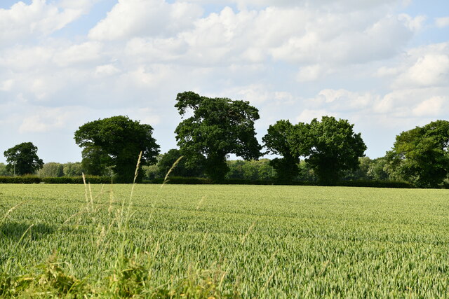
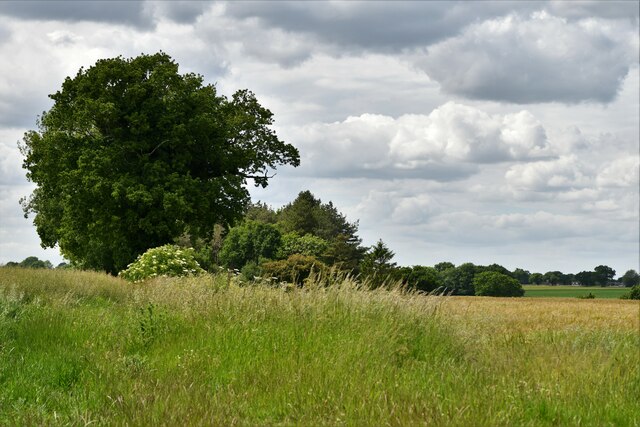
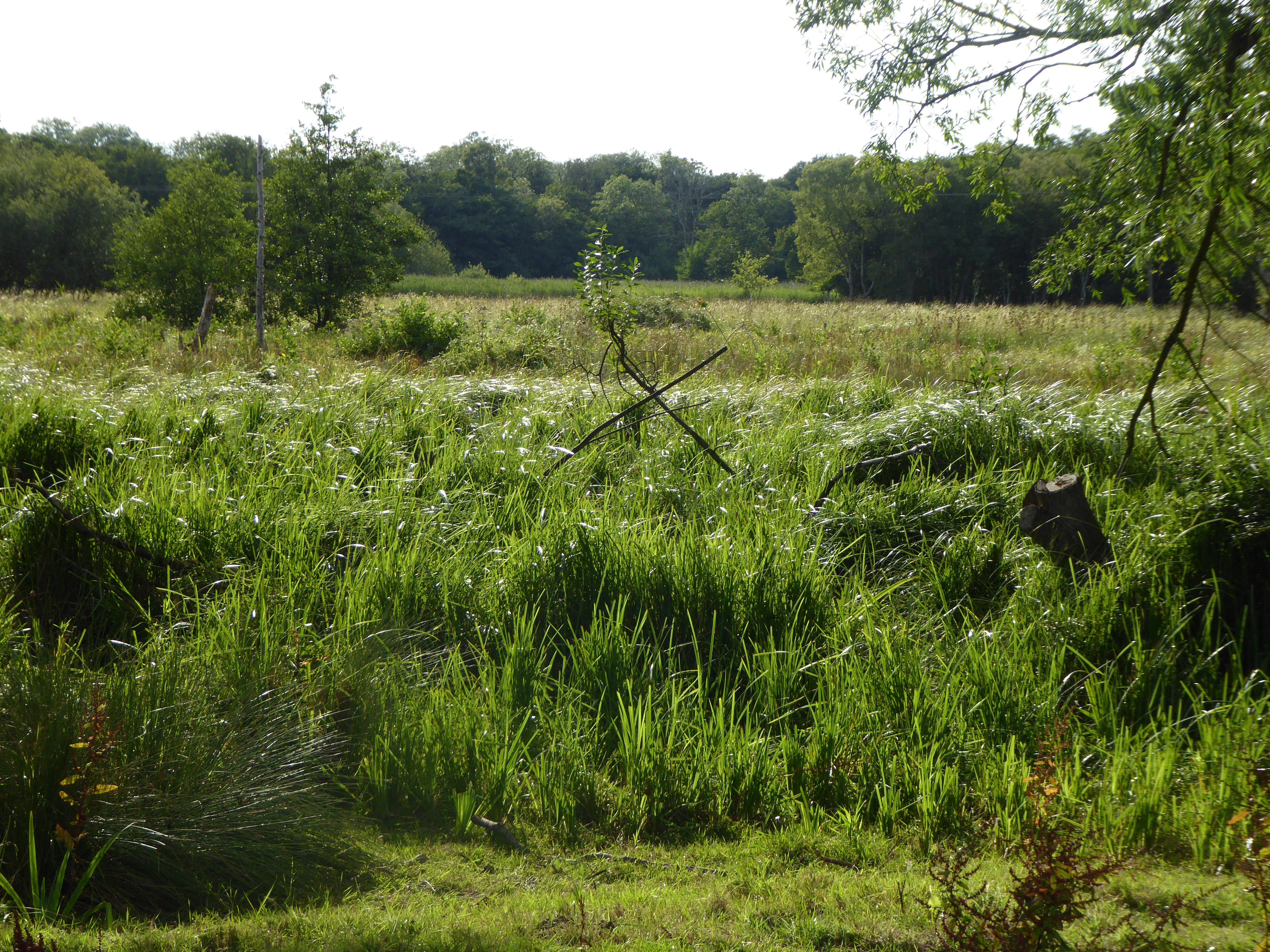
Beighton is predominantly a rural area, characterized by its picturesque countryside and charming landscapes. The parish is surrounded by farmland and has a tranquil and peaceful atmosphere, making it an ideal destination for those seeking a quiet retreat away from the hustle and bustle of city life.
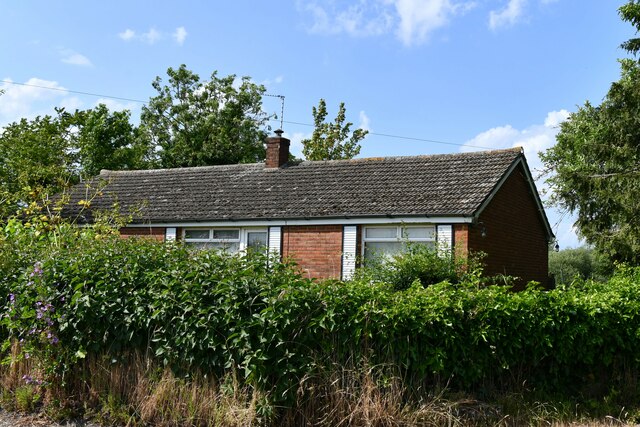
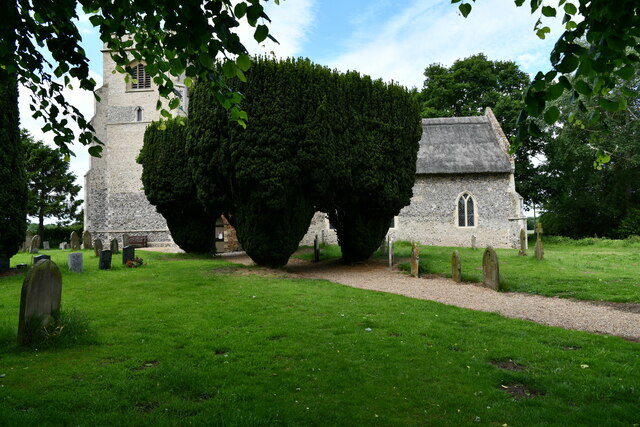
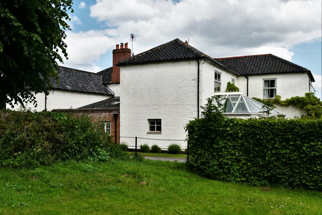
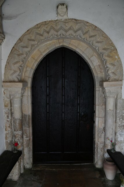
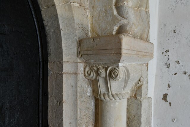
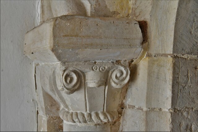
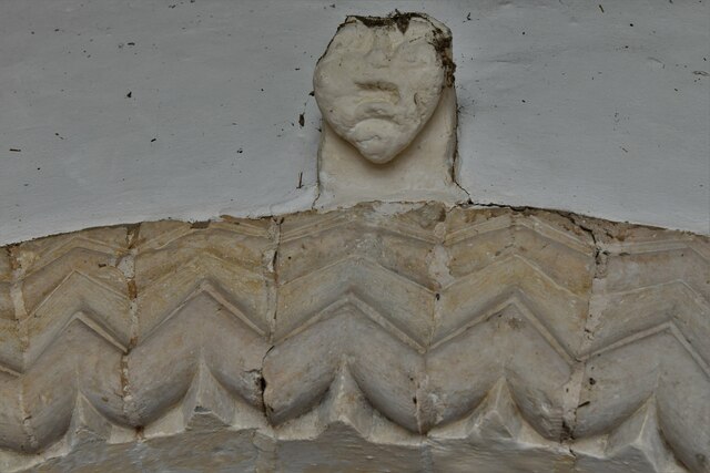
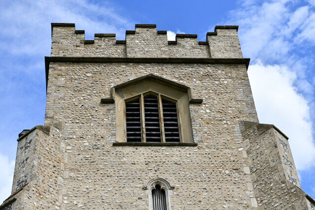
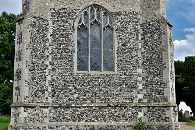
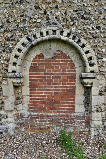
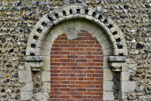
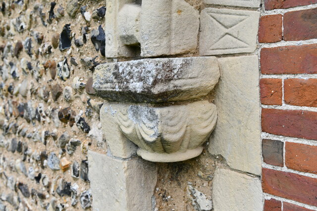
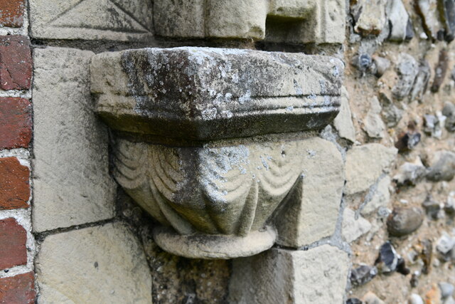
The village itself is small and compact, with a handful of residential properties and a few local amenities. It has a parish church, St. Michael and All Angels, which dates back to the 14th century and is a Grade I listed building. The church is known for its beautiful stained glass windows and medieval architecture.
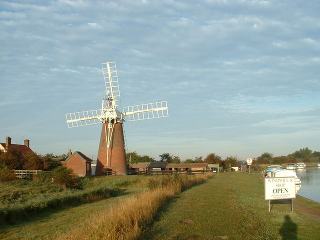
The nearby River Bure runs through Beighton, offering opportunities for boating and fishing. The surrounding area is also popular for walking and cycling, with numerous footpaths and trails crisscrossing the countryside. The parish is well-connected to the wider region by road, with the A47 running nearby, providing easy access to Norwich and other nearby towns.
Overall, Beighton is a charming and idyllic village in Norfolk, offering a peaceful and rural lifestyle amidst beautiful natural surroundings. It is a place where residents and visitors can enjoy the tranquility of the countryside while being within easy reach of larger urban areas.
If you have any feedback on the listing, please let us know in the comments section below.
Beighton Images
Images are sourced within 2km of 52.614906/1.529405 or Grid Reference TG3907. Thanks to Geograph Open Source API. All images are credited.
Beighton is located at Grid Ref: TG3907 (Lat: 52.614906, Lng: 1.529405)
Administrative County: Norfolk
District: Broadland
Police Authority: Norfolk
What 3 Words
///obviously.hazy.regaining. Near Acle, Norfolk
Nearby Locations
Related Wikis

Beighton, Norfolk
Beighton is a village and civil parish in the Broadland district of Norfolk, England, about two miles (3 km) South-West of Acle about 12.8 miles (20.6...

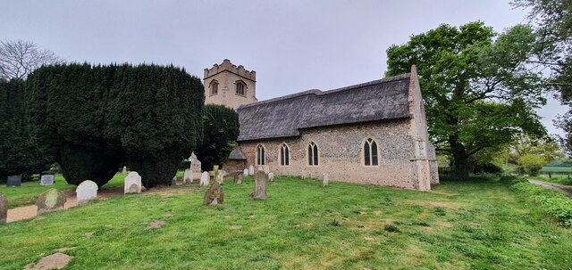
St Mary's Church, Moulton
St Mary's Church is a redundant Anglican round-tower church near the village of Moulton St Mary, Norfolk, England. It is recorded in the National Heritage...
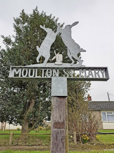
Moulton St Mary
Moulton St Mary is a village and former civil parish, now in the parish of Beighton, in the Broadland district, in the county of Norfolk, England. It is...
Decoy Carr, Acle
Decoy Carr, Acle is a 56-hectare (140-acre) biological Site of Special Scientific Interest south of Acle in Norfolk. It is part of the Broadland Ramsar...

Blofield and Flegg Rural District
Blofield and East and West Flegg Rural Districts were adjacent rural districts in Norfolk, England from 1894 to 1935.They were formed under the Local Government...
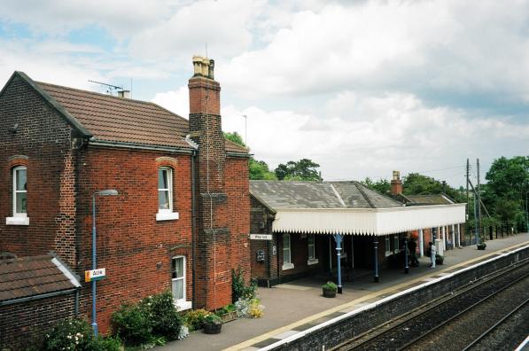
Acle railway station
Acle railway station is on the Wherry Lines in the east of England, serving the town of Acle, Norfolk. It is 10 miles 34 chains (16.8 km) down the line...

Southwood, Norfolk
Southwood is a hamlet and former civil parish, 10 miles (16 km) east of Norwich, now in the parish of Cantley, Limpenhoe and Southwood, in the Broadland...
Tunstall, Norfolk
Tunstall is a village and former civil parish, now in the parish of Halvergate, in the Broadland district of Norfolk, England. It lies some 14 miles (22...
Nearby Amenities
Located within 500m of 52.614906,1.529405Have you been to Beighton?
Leave your review of Beighton below (or comments, questions and feedback).