Beenham

Civil Parish in Berkshire

England

Beenham

Caravan and motor caravan shop, Lower Padworth The Caravan Company occupies the front; Webb's Motor Caravans is the name on the building. The view is from the top deck of a No.1 bus (Reading-Newbury) stopped at Aldermaston Wharf.
Caravan and motor caravan shop, Lower Padworth Credit: Robin Stott

Beenham is a civil parish located in the county of Berkshire, England. It is situated approximately 10 miles west of the town of Reading and 48 miles west of London. The parish covers an area of around 6 square miles and has a population of approximately 1,000 residents.

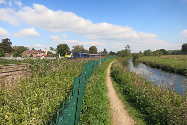
The landscape of Beenham is mainly rural, characterized by picturesque countryside and farmland. The River Kennet runs through the southern part of the parish, providing scenic views and recreational opportunities for residents and visitors alike.

The village of Beenham is the main settlement within the parish. It is a small, charming village with a close-knit community. The village is home to a historic Anglican church, St. Mary's, which dates back to the 12th century. The church is known for its beautiful architecture and stained glass windows.

In terms of amenities, Beenham has a village hall that serves as a hub for community events and gatherings. The village also has a primary school, providing education for local children.

Being located in the heart of rural Berkshire, Beenham offers residents a peaceful and tranquil environment, away from the hustle and bustle of city life. The parish is well-connected to nearby towns and cities, with good transport links to Reading and London.

Overall, Beenham is a charming civil parish with a rich history, beautiful countryside, and a strong sense of community.

If you have any feedback on the listing, please let us know in the comments section below.
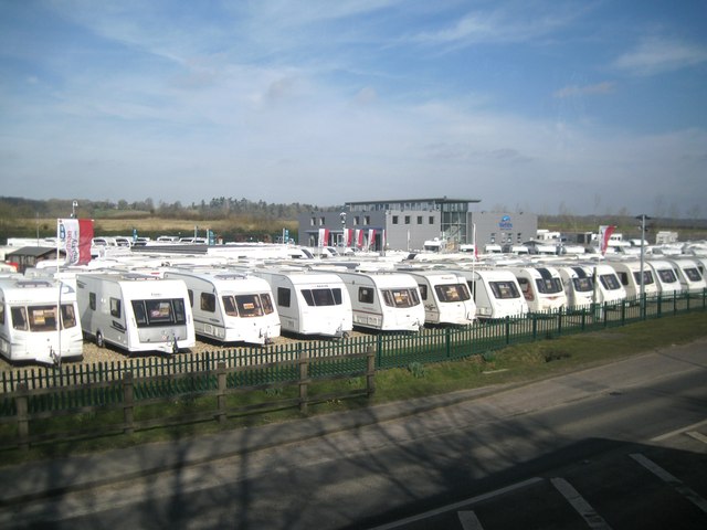
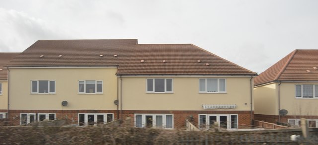
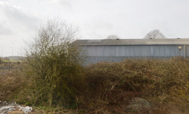
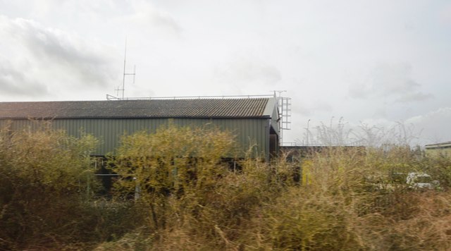
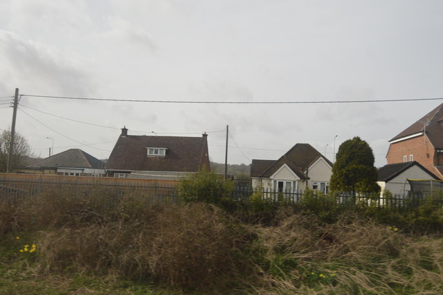
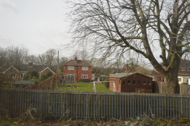
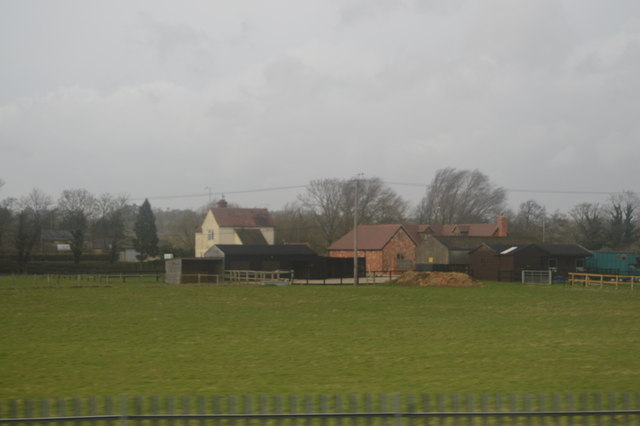
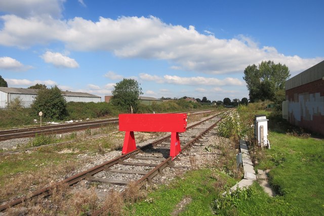
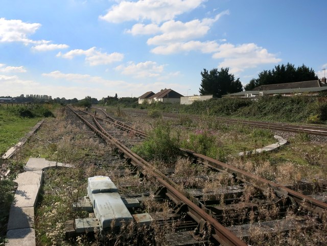
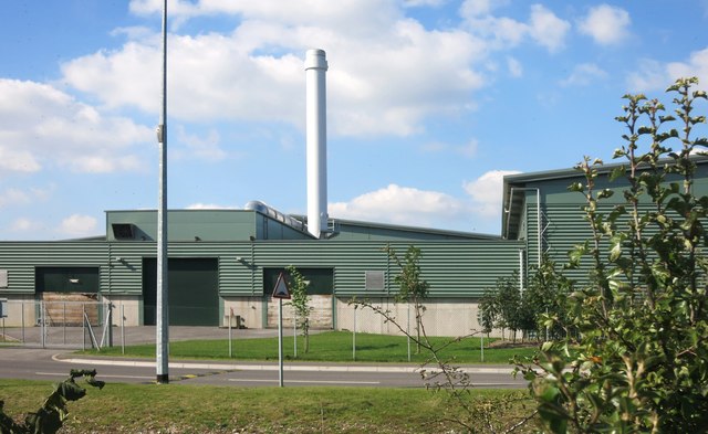
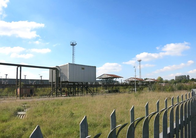
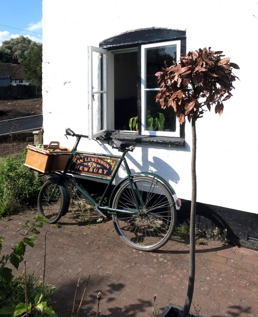
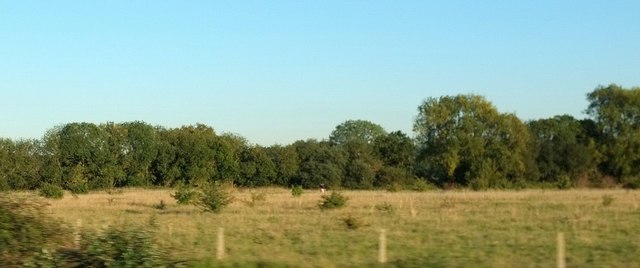
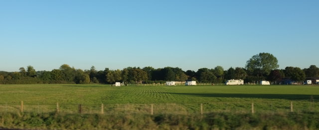
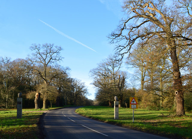
Beenham Images

Images are sourced within 2km of 51.413755/-1.145571 or Grid Reference SU5968. Thanks to Geograph Open Source API. All images are credited.

Caravan and motor caravan shop, Lower Padworth The Caravan Company occupies the front; Webb's Motor Caravans is the name on the building. The view is from the top deck of a No.1 bus (Reading-Newbury) stopped at Aldermaston Wharf.
Caravan and motor caravan shop, Lower Padworth
The Caravan Company occupies the front; Webb's Motor Caravans is the name on the building. The view is from the top deck of a No.1 bus (Reading-Newbury) stopped at Aldermaston Wharf.
Houses, Aldermaston Wharf
Depot, Lower Padworth
Houses, Bath Rd
Houses, Bath Rd
Railside housing, Lower Padworth
Bath Road Farm
Bath Road Farm
Canal and Railway Between Reading and Pewsey the canal and railway follow each other closely.
Sometimes very closely.
Canal and Railway
Between Reading and Pewsey the canal and railway follow each other closely. Sometimes very closely.
Red Buffer Stop A disused siding leaves the main line just here and heads off to a derelict industrial site in Aldermaston.
Red Buffer Stop
A disused siding leaves the main line just here and heads off to a derelict industrial site in Aldermaston.
Disused Sidings This runs to a derelict industrial site in Aldermaston, just visible extreme left.
Disused Sidings
This runs to a derelict industrial site in Aldermaston, just visible extreme left.
Waste Treatment Plant This is a new facility built on part of a large derelict industrial site.
Waste Treatment Plant
This is a new facility built on part of a large derelict industrial site.
Derelict Industrial Site This is part of a large site which used to have its own rail connection. At a guess, looking at all the pipes, it was a fuel depot or similar.
Part of the site is redeveloped as a waste treatment plant, but this still looks much the same as it did five years ago <a href="https://www.geograph.org.uk/photo/2281507">SU6067 : Depot near Padworth</a>
Derelict Industrial Site
This is part of a large site which used to have its own rail connection. At a guess, looking at all the pipes, it was a fuel depot or similar. Part of the site is redeveloped as a waste treatment plant, but this still looks much the same as it did five years ago SU6067 : Depot near Padworth
Bicycle by the Window This is at the visitor centre and cafe in the old canalside cottage shown in <a href="https://www.geograph.org.uk/photo/2372346">SU6067 : The Kennet and Avon Tea rooms</a>
That's a peace lily drooping on the window sill. They're not keen on too much hot sunlight.
Bicycle by the Window
This is at the visitor centre and cafe in the old canalside cottage shown in SU6067 : The Kennet and Avon Tea rooms That's a peace lily drooping on the window sill. They're not keen on too much hot sunlight.
Field near Towney Bridge Between the railway line, from which this was taken, and the Kennet and Avon Canal, with trees on the far side. Bushes are scattered across this dog-walking field.
Field near Towney Bridge
Between the railway line, from which this was taken, and the Kennet and Avon Canal, with trees on the far side. Bushes are scattered across this dog-walking field.
Recreation ground, Aldermaston With a gethering of recreational vehicles, and viewed from a train on the Penzance-Paddington line.
Recreation ground, Aldermaston
With a gethering of recreational vehicles, and viewed from a train on the Penzance-Paddington line.
Avenue of Oaks, Bucklebury, Berkshire The inner row of oaks was planted to celebrate a visit by Elizabeth I and the outer row to commemorate Wellington's victory at Waterloo in 1815. 

(Source:website of the Bucklebury Estate)

The gate posts were erected in 2015 to mark the marriage of Catherine Middleton, a resident of the village, to Prince William.
Avenue of Oaks, Bucklebury, Berkshire
The inner row of oaks was planted to celebrate a visit by Elizabeth I and the outer row to commemorate Wellington's victory at Waterloo in 1815. (Source:website of the Bucklebury Estate) The gate posts were erected in 2015 to mark the marriage of Catherine Middleton, a resident of the village, to Prince William.
Pair of houses on Orchard Dene Drive I personally don't think a lot of imagination went into these new houses. A cardboard box comes to mind.
Pair of houses on Orchard Dene Drive
I personally don't think a lot of imagination went into these new houses. A cardboard box comes to mind.
Houses on the corner of Orchard Dene Drive These were the show houses when they opened in 2009
Houses on the corner of Orchard Dene Drive
These were the show houses when they opened in 2009
Show me another place!

Beenham is located at Grid Ref: SU5968 (Lat: 51.413755, Lng: -1.145571)

Unitary Authority: West Berkshire

Police Authority: Thames Valley

What 3 Words

///nods.momentous.stable. Near Bradfield, Berkshire

Related Wikis

Beenham

Beenham is a village and civil parish centred 6 miles (9.7 km) east of Newbury in the West Berkshire district of Berkshire, England. == Geography == Beenham...

Old Copse, Beenham

Old Copse, Beenham is an 8-hectare (20-acre) biological Site of Special Scientific Interest south of Beenham in Berkshire. The site is private land with...

Lower Padworth

Lower Padworth is a hamlet in Berkshire, and part of the civil parishes of Padworth, Aldermaston and Beenham. According to the Post Office at the 2011...

Aldermaston railway station

Aldermaston railway station serves the village of Aldermaston in Berkshire, England. The station is at nearby Aldermaston Wharf and about 2 miles (3 km...

Aldermaston Lock

Aldermaston Lock is a lock on the Kennet and Avon Canal, at Aldermaston Wharf in the English county of Berkshire. It stands at the junction of the civil...

Towney Lock

Towney Lock is a lock on the Kennet and Avon Canal, between Aldermaston Wharf and Sulhamstead, Berkshire, England. Towney Lock was built between 1718 and...

Aldermaston Brewery

The Aldermaston Brewery (later known as Strange's Brewery) was a brewery located near Aldermaston in Berkshire, UK. == History == The brewery was established...

Aldermaston Wharf

Aldermaston Wharf is a small multi-parish settlement centred 1.5 miles (2.4 km) north-northwest of Aldermaston (where according to the Post Office the...

Nearby Amenities

Located within 500m of 51.413755,-1.145571
Mini Roundabout
Lat/Long: 51.416768/-1.1463833
Beenham
Place: village
Lat/Long: 51.4157978/-1.1507608
Post Box
Operator: Royal Mail
Post Box Type: wall
Ref: RG7 124D
Royal Cypher: GR
Lat/Long: 51.4162771/-1.147905
Give Way
Direction: forward
Lat/Long: 51.4162559/-1.147812
The data included in this document is from www.openstreetmap.org. The data is made available under ODbL.

Have you been to Beenham?

Leave your review of Beenham below (or comments, questions and feedback).