Beckwithshaw
Civil Parish in Yorkshire Harrogate
England
Beckwithshaw

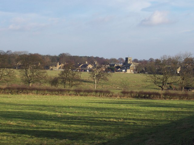
Beckwithshaw is a civil parish located in the Harrogate district of North Yorkshire, England. Situated approximately 4 miles south of Harrogate town centre, the village is nestled in the beautiful countryside of West Yorkshire.
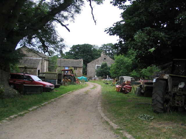
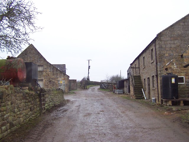
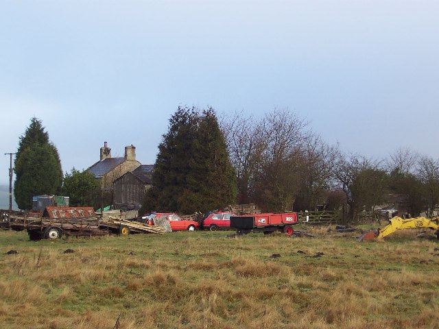
The parish covers an area of around 1,400 acres and is home to a small population of around 500 residents. The village itself is characterized by a mixture of traditional stone-built houses, charming cottages, and modern properties, giving it a unique and picturesque appearance.
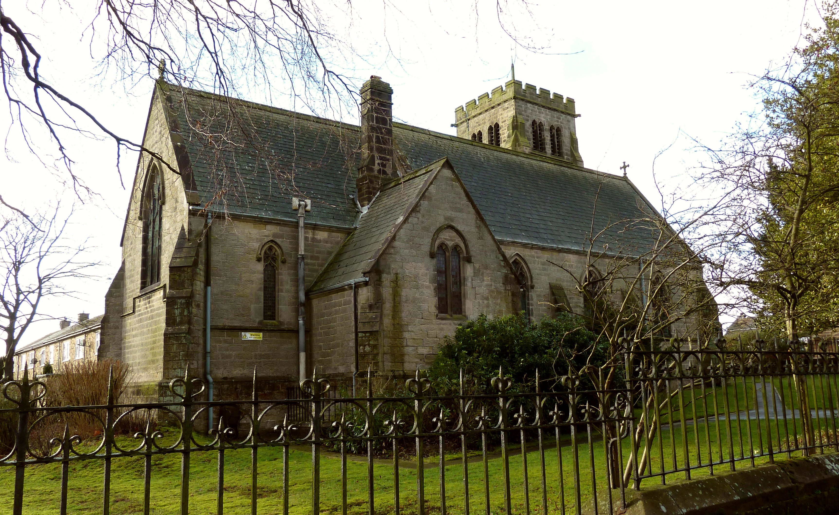
Beckwithshaw boasts a strong sense of community, with various social events and activities taking place throughout the year. The village has a primary school, St. Michael and All Angels Church, and a Village Hall which serves as a hub for local gatherings and events.
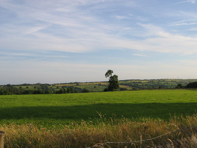
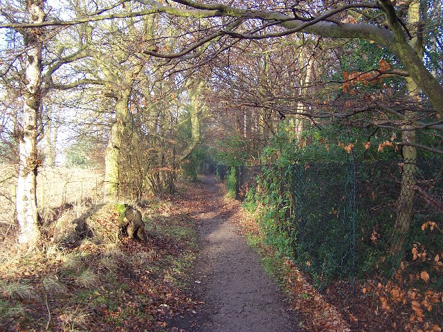
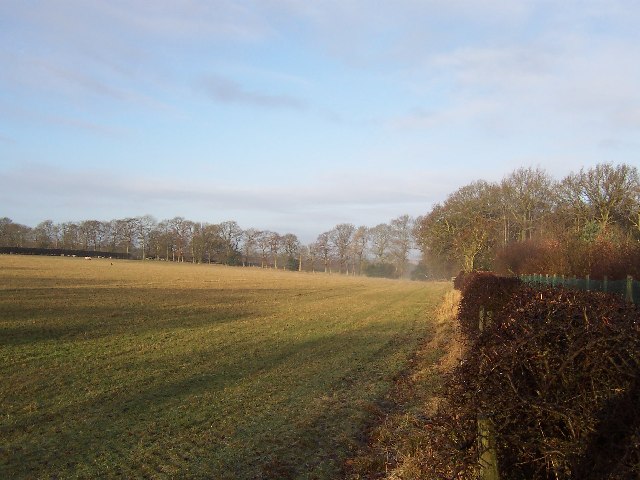
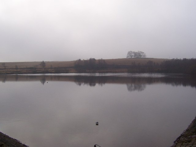
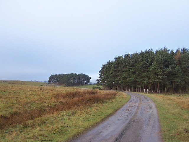
Surrounded by breathtaking natural beauty, Beckwithshaw offers stunning views of the Yorkshire Dales National Park. The area is known for its rolling hills, lush green fields, and tranquil atmosphere, making it an ideal location for outdoor enthusiasts and nature lovers.
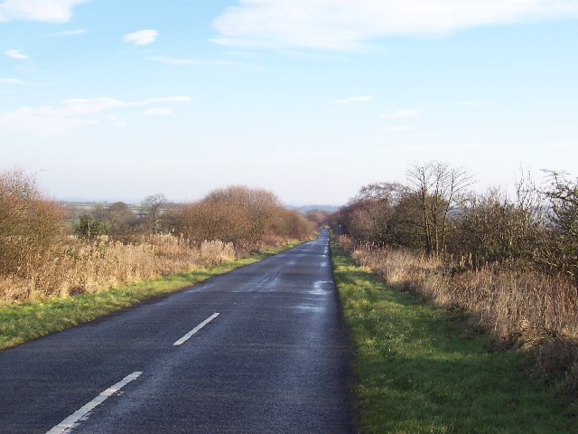
Despite its rural setting, Beckwithshaw is conveniently located near major transportation routes, with easy access to the A59 road and nearby Harrogate train station. This allows residents to enjoy the peaceful countryside while still being within reach of the amenities and services offered by the nearby town.
In summary, Beckwithshaw is a charming civil parish in North Yorkshire, known for its idyllic countryside, strong community spirit, and easy access to the surrounding areas.
If you have any feedback on the listing, please let us know in the comments section below.
Beckwithshaw Images
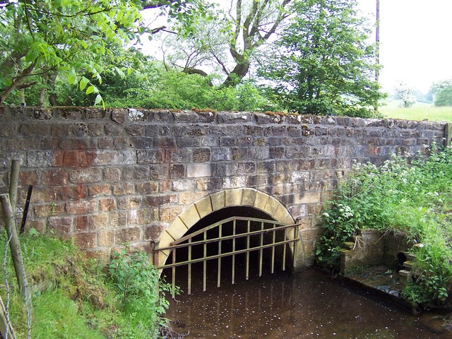
Images are sourced within 2km of 53.970142/-1.598072 or Grid Reference SE2652. Thanks to Geograph Open Source API. All images are credited.


Beckwithshaw is located at Grid Ref: SE2652 (Lat: 53.970142, Lng: -1.598072)
Division: West Riding
Administrative County: North Yorkshire
District: Harrogate
Police Authority: North Yorkshire
What 3 Words
///closets.culminate.plunger. Near Pannal, North Yorkshire
Nearby Locations
Related Wikis
Beckwithshaw
Beckwithshaw is a village and civil parish in the Harrogate district of North Yorkshire, England about 2.5 miles (4 km) south-west of Harrogate. ��2�...

Church of St Michael and All Angels, Beckwithshaw
The Church of St Michael and All Angels, Beckwithshaw, North Yorkshire, England, also known as Beckwithshaw Church, is an Anglican church built and furnished...

Beckwith, North Yorkshire
Beckwith is a small settlement in North Yorkshire, England. It lies 2 miles (3 km) south west of Harrogate. The place name was first recorded in about...
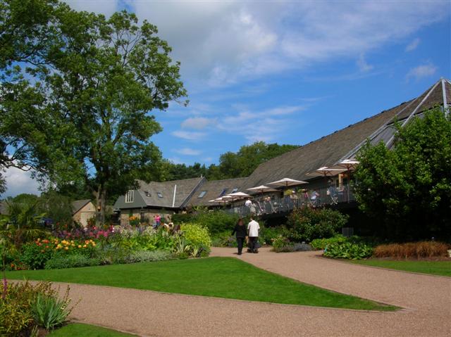
RHS Garden Harlow Carr
RHS Garden Harlow Carr is one of five public gardens run by the Royal Horticultural Society. It is located on the western edge of Harrogate in the English...
Nearby Amenities
Located within 500m of 53.970142,-1.598072Have you been to Beckwithshaw?
Leave your review of Beckwithshaw below (or comments, questions and feedback).