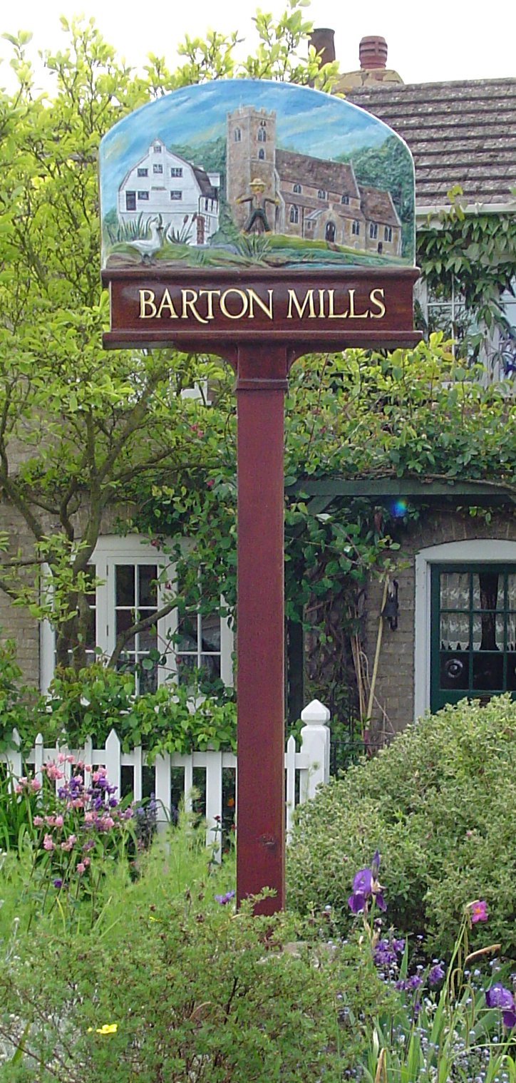
Barton Mills

Civil Parish in Suffolk West Suffolk

England

Barton Mills

The Riverside Hotel, Mildenhall
The Riverside Hotel, Mildenhall Credit: David Howard

Barton Mills is a small civil parish located in Suffolk, England. Situated on the A11 road, it is approximately 13 miles northeast of the town of Bury St Edmunds and about 5 miles south of Mildenhall. The parish covers an area of around 6 square kilometers.

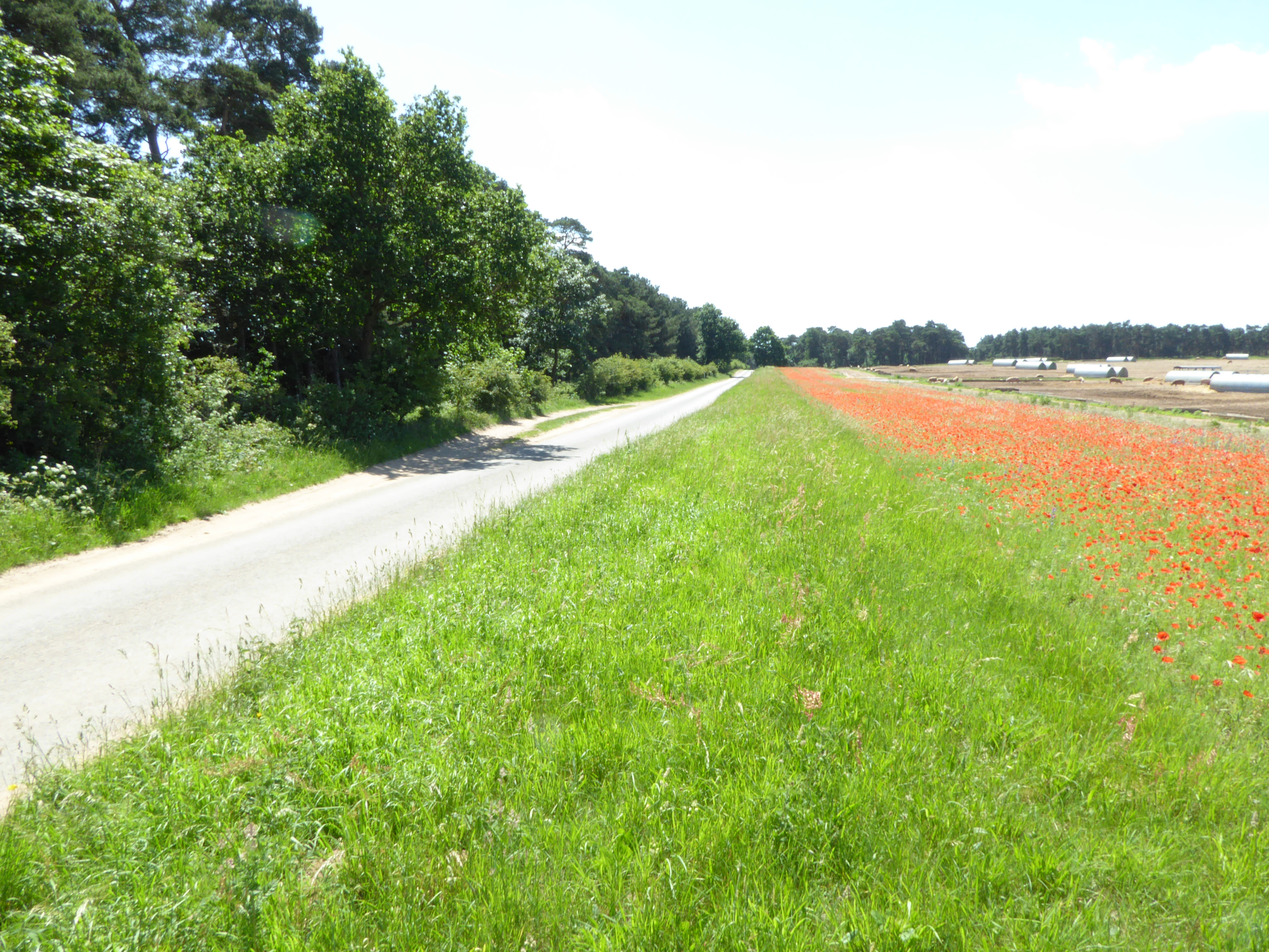
The village of Barton Mills has a population of around 900 residents. It is known for its charming and picturesque setting, surrounded by beautiful countryside landscapes. The River Lark flows through the parish, adding to its natural beauty.

Historically, Barton Mills was an important location in Roman times, as it was situated on the main road between Colchester and Norwich. The remains of a Roman bridge can still be seen in the area, along with other Roman artifacts that have been discovered over the years.

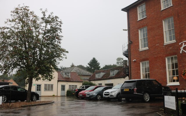
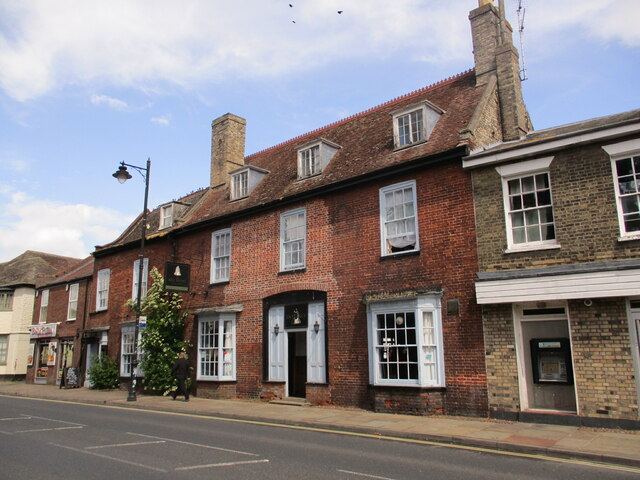
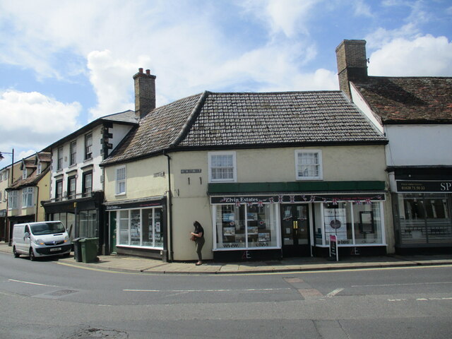
Today, Barton Mills is a thriving community with a range of amenities. These include a primary school, a village hall, a church, a pub, and a few small shops. The village is well-connected by road, making it easily accessible for both residents and visitors.

The surrounding area offers plenty of opportunities for outdoor activities, such as walking, cycling, and birdwatching. The nearby Mildenhall Woods and Thetford Forest Park are popular destinations for nature enthusiasts.

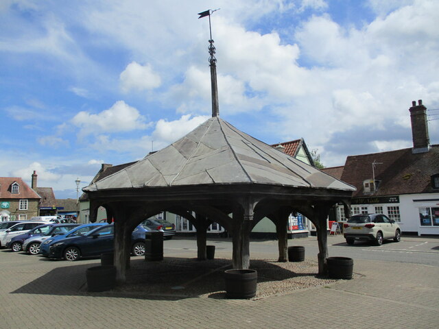
In summary, Barton Mills is a charming and historic village in Suffolk, offering a peaceful and idyllic setting for its residents and visitors to enjoy.

If you have any feedback on the listing, please let us know in the comments section below.

Barton Mills Images

Images are sourced within 2km of 52.327197/0.52005 or Grid Reference TL7172. Thanks to Geograph Open Source API. All images are credited.

The Riverside Hotel, Mildenhall
Mill Street, Mildenhall
Lloyds Bank on High Street Mildenhall
Flats on Worlington Road entering Mildenhall
Bridge Farm Road, Mildenhall
Green on Bridge Farm Road, Mildenhall
The Market Cross, Mildenhall Dates from the fifteenth century <span class="nowrap"><a title="https://historicengland.org.uk/listing/the-list/list-entry/1351326?section=official-list-entry" rel="nofollow ugc noopener" href="https://historicengland.org.uk/listing/the-list/list-entry/1351326?section=official-list-entry">Link</a><img style="margin-left:2px;" alt="External link" title="External link - shift click to open in new window" src="https://s1.geograph.org.uk/img/external.png" width="10" height="10"/></span>
The Market Cross, Mildenhall
Dates from the fifteenth century LinkExternal link
The Hanmer Almshouses, Mildenhall Built in 1722 <span class="nowrap"><a title="https://historicengland.org.uk/listing/the-list/list-entry/1351324?section=official-list-entry" rel="nofollow ugc noopener" href="https://historicengland.org.uk/listing/the-list/list-entry/1351324?section=official-list-entry">Link</a><img style="margin-left:2px;" alt="External link" title="External link - shift click to open in new window" src="https://s1.geograph.org.uk/img/external.png" width="10" height="10"/></span>
The Hanmer Almshouses, Mildenhall
Built in 1722 LinkExternal link
Shops and flats, Mildenhall
17 and 19 High Street, Mildenhall Much altered sixteenth century former public house <span class="nowrap"><a title="https://historicengland.org.uk/listing/the-list/list-entry/1285808?section=official-list-entry" rel="nofollow ugc noopener" href="https://historicengland.org.uk/listing/the-list/list-entry/1285808?section=official-list-entry">Link</a><img style="margin-left:2px;" alt="External link" title="External link - shift click to open in new window" src="https://s1.geograph.org.uk/img/external.png" width="10" height="10"/></span>
17 and 19 High Street, Mildenhall
Much altered sixteenth century former public house LinkExternal link
Bunbury Rooms, Mildenhall Built as a boys' school 1849.
Bunbury Rooms, Mildenhall
Built as a boys' school 1849.
Church Walk, Mildenhall
The Priory, Mildenhall Built as a workhouse <span class="nowrap"><a title="https://historicengland.org.uk/listing/the-list/list-entry/1037562?section=official-list-entry" rel="nofollow ugc noopener" href="https://historicengland.org.uk/listing/the-list/list-entry/1037562?section=official-list-entry">Link</a><img style="margin-left:2px;" alt="External link" title="External link - shift click to open in new window" src="https://s1.geograph.org.uk/img/external.png" width="10" height="10"/></span>
The Priory, Mildenhall
Built as a workhouse LinkExternal link
The churchyard, Mildenhall Churchyard here refers to the path and the buildings adjacent to the churchyard itself.
The churchyard, Mildenhall
Churchyard here refers to the path and the buildings adjacent to the churchyard itself.
St. Mary's church, Mildenhall Most of the church was rebuilt in the fifteenth century <span class="nowrap"><a title="https://historicengland.org.uk/listing/the-list/list-entry/1037561?section=official-list-entry" rel="nofollow ugc noopener" href="https://historicengland.org.uk/listing/the-list/list-entry/1037561?section=official-list-entry">Link</a><img style="margin-left:2px;" alt="External link" title="External link - shift click to open in new window" src="https://s1.geograph.org.uk/img/external.png" width="10" height="10"/></span>
St. Mary's church, Mildenhall
Most of the church was rebuilt in the fifteenth century LinkExternal link
The Bell Hotel, Mildenhall The facade dates from the early nineteenth century but hides a building of the sixteenth century <span class="nowrap"><a title="https://historicengland.org.uk/listing/the-list/list-entry/1037568" rel="nofollow ugc noopener" href="https://historicengland.org.uk/listing/the-list/list-entry/1037568">Link</a><img style="margin-left:2px;" alt="External link" title="External link - shift click to open in new window" src="https://s1.geograph.org.uk/img/external.png" width="10" height="10"/></span>
The Bell Hotel, Mildenhall
The facade dates from the early nineteenth century but hides a building of the sixteenth century LinkExternal link
Building on the corner of Mill Street and High Street, Mildenhall Dates from the sixteenth century but much altered <span class="nowrap"><a title="https://historicengland.org.uk/listing/the-list/list-entry/1194419?section=official-list-entry" rel="nofollow ugc noopener" href="https://historicengland.org.uk/listing/the-list/list-entry/1194419?section=official-list-entry">Link</a><img style="margin-left:2px;" alt="External link" title="External link - shift click to open in new window" src="https://s1.geograph.org.uk/img/external.png" width="10" height="10"/></span>
Building on the corner of Mill Street and High Street, Mildenhall
Dates from the sixteenth century but much altered LinkExternal link
22-26 High Street, Mildenhall A nineteenth century facade hides a sixteenth century building <span class="nowrap"><a title="https://historicengland.org.uk/listing/the-list/list-entry/1194207?section=official-list-entry" rel="nofollow ugc noopener" href="https://historicengland.org.uk/listing/the-list/list-entry/1194207?section=official-list-entry">Link</a><img style="margin-left:2px;" alt="External link" title="External link - shift click to open in new window" src="https://s1.geograph.org.uk/img/external.png" width="10" height="10"/></span>
22-26 High Street, Mildenhall
A nineteenth century facade hides a sixteenth century building LinkExternal link
Show me another place!

Barton Mills is located at Grid Ref: TL7172 (Lat: 52.327197, Lng: 0.52005)

Administrative County: Suffolk

District: West Suffolk

Police Authority: Suffolk

What 3 Words

///budding.liberty.workbook. Near Mildenhall, Suffolk

Nearby Locations

Barton Mills

Related Wikis

Barton Mills

Barton Mills is a village and civil parish in the West Suffolk district of Suffolk, England. The village is on the south bank of the River Lark. According...

Cherry Hill and The Gallops, Barton Mills

Cherry Hill and The Gallops, Barton Mills is a 10.4-hectare (26-acre) biological Site of Special Scientific Interest south of Barton Mills in Suffolk....

Barton Mills Valley

Barton Mills Valley is a 10.7 hectare Local Nature Reserve in Mildenhall in Suffolk. It is owned and managed by West Suffolk Council. The site is in Breckland...

Norah Hanbury-Kelk Meadows

Norah Hanbury-Kelk Meadows is an eight hectare nature reserve in Barton Mills in Suffolk. It is managed by the Suffolk Wildlife Trust.These wet meadows...

Nearby Amenities

Located within 500m of 52.327197,0.52005
The Manor
Description: Barton Mills Millennium Walk
Information: board
Network: Barton Mills Millennium Walk
Tourism: information
Lat/Long: 52.3306324/0.5178682
The data included in this document is from www.openstreetmap.org. The data is made available under ODbL.

Have you been to Barton Mills?

Leave your review of Barton Mills below (or comments, questions and feedback).