Barton in Fabis

Civil Parish in Nottinghamshire Rushcliffe

England

Barton in Fabis

Green Street The road was surprisingly busy but this view just has a lone cyclist heading towards the camera.
Green Street Credit: Malcolm Neal

Barton in Fabis is a civil parish located in the Rushcliffe borough of Nottinghamshire, England. Situated approximately 6 miles southwest of the city of Nottingham, the parish covers an area of about 2.5 square miles.

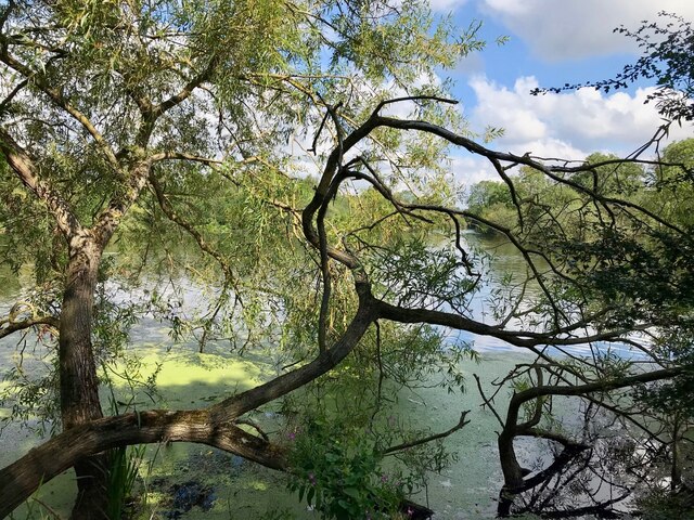
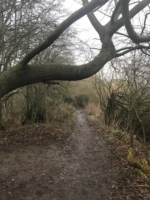
Barton in Fabis is a predominantly rural area with a small population of around 200 residents, according to the latest census. The parish is known for its picturesque countryside, comprising rolling hills and charming farmland. It borders the River Trent to the southwest, providing scenic views and recreational opportunities for locals and visitors alike.

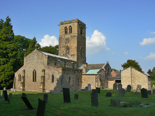
The village of Barton in Fabis itself is a small and close-knit community. It features a number of historic buildings, including the Grade II listed St. George's Church, which dates back to the 12th century. The church is a significant architectural landmark in the area and attracts visitors interested in medieval history.

The parish is well-connected to nearby towns and cities, with road links including the A453 and A6005 providing easy access to Nottingham and other surrounding areas. The nearby Nottingham East Midlands Airport also offers convenient travel options for both residents and tourists.

Barton in Fabis offers a peaceful and scenic environment, making it an attractive location for those seeking a quieter lifestyle away from the hustle and bustle of the city. The parish's natural beauty and rich history make it a popular destination for nature enthusiasts and history buffs alike.

If you have any feedback on the listing, please let us know in the comments section below.

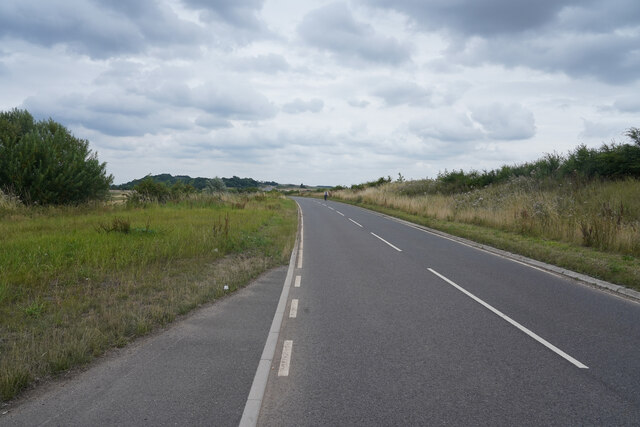
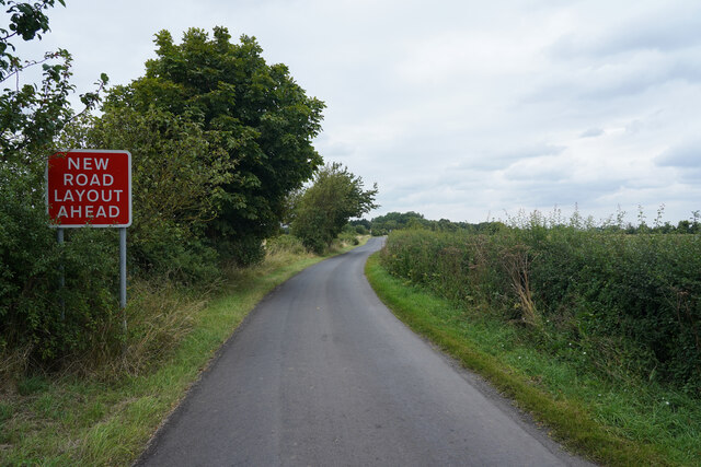
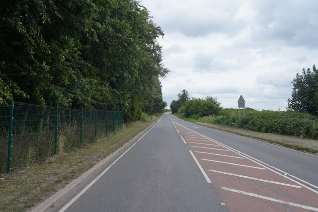
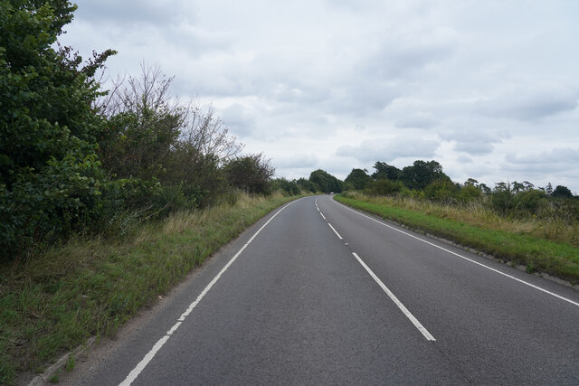
Barton in Fabis Images

Images are sourced within 2km of 52.88758/-1.20671 or Grid Reference SK5332. Thanks to Geograph Open Source API. All images are credited.
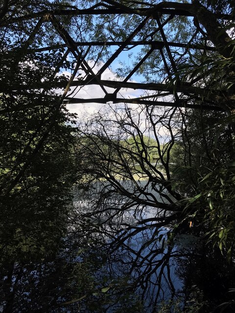
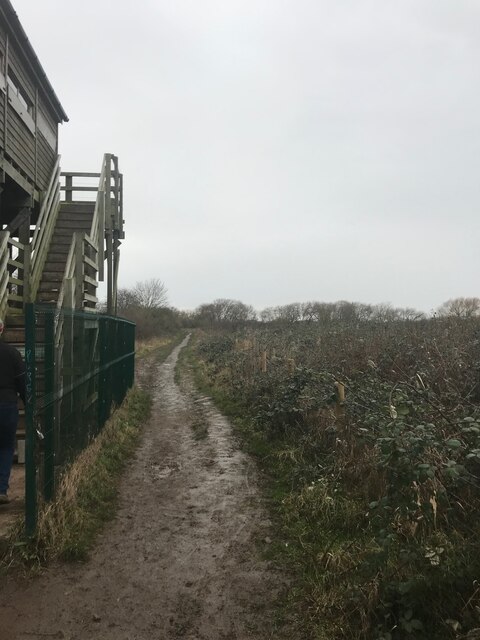
Green Street The road was surprisingly busy but this view just has a lone cyclist heading towards the camera.
Green Street
The road was surprisingly busy but this view just has a lone cyclist heading towards the camera.
Manor Road The road leads to the small village of Barton in Fabis.
Manor Road
The road leads to the small village of Barton in Fabis.
Green Street Opposite is the entrance to a farm with a warning that is for the farm only!
Green Street
Opposite is the entrance to a farm with a warning that is for the farm only!
Green Lane A minor road which runs parallel to the A453 Remembrance Way.
Green Lane
A minor road which runs parallel to the A453 Remembrance Way.
Remembrance Way Now heading towards Nottingham and the way home Remembrance Way is a very busy road.
Remembrance Way
Now heading towards Nottingham and the way home Remembrance Way is a very busy road.
Old footbridge I'm amazed to see that this is still marked as such on the OS map.  The channel here has been funded for at least 20 years, and the steel bridge frame is slowly rotting.  Here it is 12 years ago <a href="https://www.geograph.org.uk/photo/1222212">SK5233 : Old Footbridge Attenborough</a>
Old footbridge
I'm amazed to see that this is still marked as such on the OS map. The channel here has been funded for at least 20 years, and the steel bridge frame is slowly rotting. Here it is 12 years ago SK5233 : Old Footbridge Attenborough
Attenborough willows
Rusty pole This spot looks quite a lot different than 12 and a half years ago <a href="https://www.geograph.org.uk/photo/1222216">SK5234 : Private Fishing on the Trent</a>. Or even 9 <a href="https://www.geograph.org.uk/photo/3010857">SK5234 : Old fishing sign beside the Trent</a>
Rusty pole
This spot looks quite a lot different than 12 and a half years ago SK5234 : Private Fishing on the Trent. Or even 9 SK5234 : Old fishing sign beside the Trent
Footpath in the Reserve
Beside Tower Hide
Beside Tower Hide
Holy Fast Moving Vehicles, Batman! As Robin might say on this occasion.

Vigilant as ever over bustling Gotham, the Caped Crusader clamps down on speeding motorists as they whizz through his patch at great speed.  Commissioner Gordon throws the book at the mischievous miscreants every time.

Pow!
Holy Fast Moving Vehicles, Batman!
As Robin might say on this occasion. Vigilant as ever over bustling Gotham, the Caped Crusader clamps down on speeding motorists as they whizz through his patch at great speed. Commissioner Gordon throws the book at the mischievous miscreants every time. Pow!
Footpath through wood west of Nottingham Road north of Gotham
Footpath through woodland towards Barton Moor on west side of Nottingham Road
Gateway to field with pylon from Nottingham Road north of Gotham
The Trent, north of Barton in Fabis Looking downstream [locally east].
The Trent, north of Barton in Fabis
Looking downstream [locally east].
Heading downstream towards Barton Island The navigable River Trent, near Attenborough nature reserve.
Heading downstream towards Barton Island
The navigable River Trent, near Attenborough nature reserve.
Navigation sign, southern tip of Barton Island Boaters on the River Trent are instructed to keep to the west side of the island.
Navigation sign, southern tip of Barton Island
Boaters on the River Trent are instructed to keep to the west side of the island.
Landing stage, Barton Island The island, in the River Trent, is only accessible by boat. It houses the HQ of the 2nd Beeston Sea Scouts.
Landing stage, Barton Island
The island, in the River Trent, is only accessible by boat. It houses the HQ of the 2nd Beeston Sea Scouts.
Show me another place!

Barton in Fabis is located at Grid Ref: SK5332 (Lat: 52.88758, Lng: -1.20671)

Administrative County: Nottinghamshire

District: Rushcliffe

Police Authority: Nottinghamshire

What 3 Words

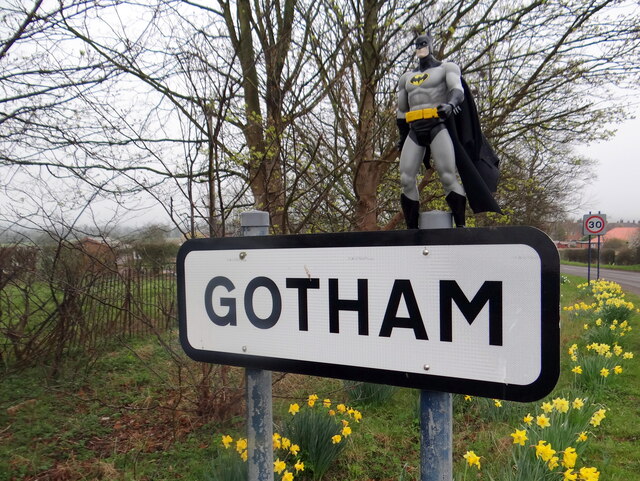
///backed.crop.movies. Near Gotham, Nottinghamshire

Nearby Locations

Barton in Fabis

Related Wikis

Barton in Fabis

Barton in Fabis is a village and civil parish in the Rushcliffe district of Nottinghamshire. It has a population of about 250, being measured at 266 in...

St George's Church, Barton in Fabis

St George's Church is a parish church in the Church of England in Barton in Fabis, Nottinghamshire. == History == The church is medieval and is a Grade...

Clifton South tram stop

Clifton South is a tram stop and Park & Ride site on the Nottingham Express Transit (NET) network. It is situated in the Borough of Rushcliffe, just to...

Summerwood Lane tram stop

Summerwood Lane is a tram stop on the Nottingham Express Transit (NET) network in the city of Nottingham suburb of Clifton. It is situated on street track...

Holy Trinity tram stop

Holy Trinity is a tram stop on the Nottingham Express Transit (NET) network in the City of Nottingham suburb of Clifton. It takes its name from the nearby...

Gotham, Nottinghamshire

Gotham ( GOHT-əm) is a village in Nottinghamshire, England, with a population of about 1,600, measured at 1,563 in the 2011 census, and 1,569 in the 2021...

Attenborough Nature Reserve

Attenborough Nature Reserve is a nature reserve at Attenborough, Nottinghamshire, England, located 5 mi (8 km) south west of Nottingham city centre. It...

St Mary's Church, Clifton

St Mary's Church is a parish church in the Church of England in Clifton, Nottinghamshire. The church is Grade I listed by the Department for Digital, Culture...

Nearby Amenities

Located within 500m of 52.88758,-1.20671
Bus Stop
Nottingham Road
Bus: yes
Naptan AtcoCode: 3300RU0363
Naptan Bearing: N
Naptan CommonName: Nottingham Road
Naptan Crossing: Barton Lane
Naptan Indicator: N-bound
Naptan NaptanCode: ntsagatp
Naptan Notes: 3300RU0790--BW
Naptan Street: Nottingham Road
Naptan Verified: yes
Note: Both ways
Public Transport: platform
Shelter: yes
Source: naptan_import
Lat/Long: 52.88626/-1.2005183
Bus Stop
Nottingham Road
Bus: yes
Naptan AtcoCode: 3300RU0790
Naptan Bearing: S
Naptan BusStopType: CUS
Naptan CommonName: Nottingham Road
Naptan Crossing: Barton Lane
Naptan Indicator: S-bound
Naptan NaptanCode: ntsgpdpw
Naptan Notes: CUS--3300RU0363
Naptan Street: Nottingham Road
Naptan Verified: no
Public Transport: platform
Source: naptan_import
Lat/Long: 52.8862769/-1.2003545
Crossing
Crossing: unmarked
Crossing Island: yes
Kerb: lowered
Tactile Paving: yes
Lat/Long: 52.8904095/-1.2032474
Crossing
Crossing: unmarked
Crossing Island: yes
Kerb: lowered
Tactile Paving: yes
Lat/Long: 52.8904741/-1.203343
Crossing
Crossing: uncontrolled
Crossing Island: yes
Crossing Ref: zebra
Kerb: lowered
Supervised: no
Tactile Paving: yes
Lat/Long: 52.8900654/-1.204095
Crossing
Crossing: uncontrolled
Crossing Island: yes
Crossing Ref: zebra
Kerb: lowered
Supervised: no
Tactile Paving: yes
Lat/Long: 52.8900042/-1.2040058
Crossing
Crossing: uncontrolled
Crossing Island: yes
Crossing Ref: zebra
Kerb: lowered
Supervised: no
Tactile Paving: yes
Lat/Long: 52.8895092/-1.2049059
Crossing
Crossing: uncontrolled
Crossing Island: yes
Crossing Ref: zebra
Kerb: lowered
Supervised: no
Tactile Paving: yes
Lat/Long: 52.8895746/-1.2049955
Crossing
Crossing: uncontrolled
Crossing Island: yes
Crossing Ref: zebra
Kerb: lowered
Supervised: no
Tactile Paving: yes
Lat/Long: 52.8888312/-1.2063518
Crossing
Crossing: uncontrolled
Crossing Island: yes
Crossing Ref: zebra
Kerb: lowered
Supervised: no
Tactile Paving: yes
Lat/Long: 52.888764/-1.2062551
The data included in this document is from www.openstreetmap.org. The data is made available under ODbL.

Have you been to Barton in Fabis?

Leave your review of Barton in Fabis below (or comments, questions and feedback).