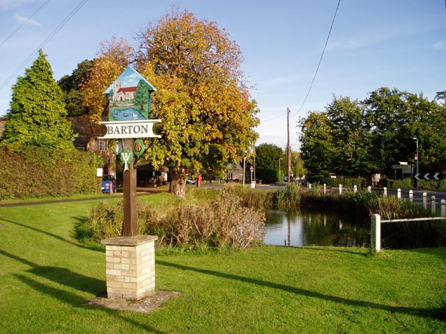
Barton

Civil Parish in Cambridgeshire South Cambridgeshire

England

Barton

Barton Glebe Woodland Burial Site and Memorial Lodge, Comberton Road, Cambs The Arbory Trust site at Barton is the first of its kind and will eventually cover some 38 acres.
Barton Glebe Woodland Burial Site and Memorial Lodge, Comberton Road, Cambs Credit: Rodney Burton

Barton is a civil parish located in the county of Cambridgeshire, England. Situated about 6 miles west of the city of Cambridge, it covers an area of approximately 6.3 square kilometers. The parish is bordered by the villages of Comberton, Haslingfield, and Harlton.

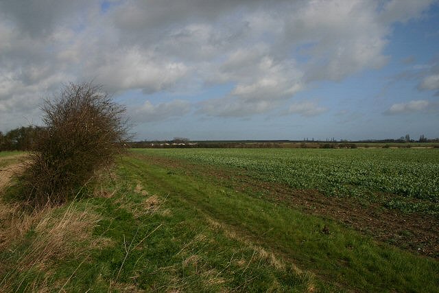
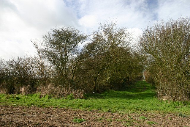
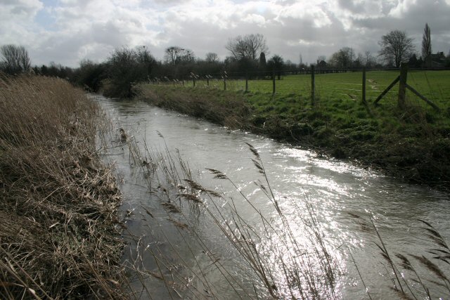
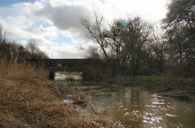
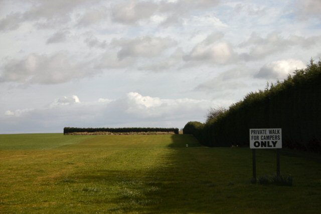
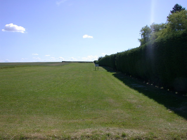
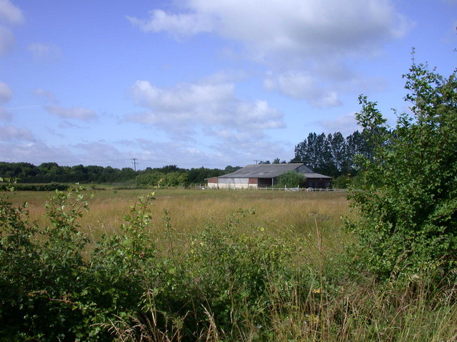
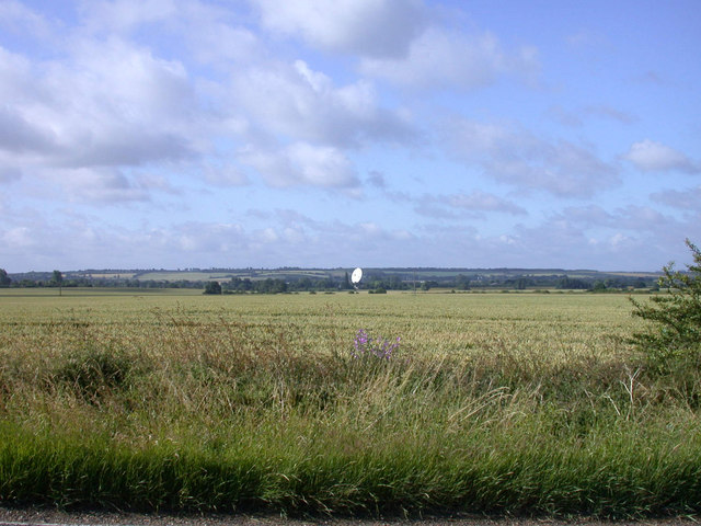
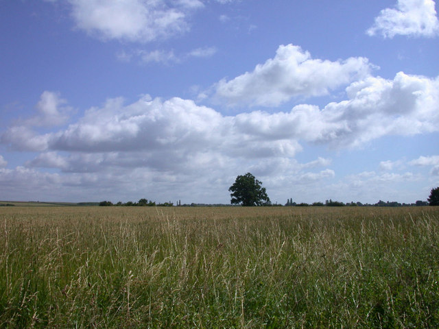
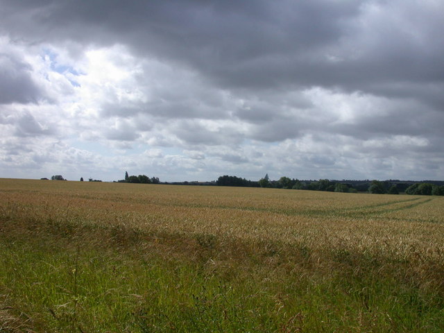
Barton has a population of around 1,000 residents, according to the latest census data. The community is predominantly rural, with a mix of residential, agricultural, and open green spaces. The landscape is characterized by rolling hills and farmland, offering picturesque views of the surrounding countryside.

The village itself is a small, tight-knit community with a charming and historic atmosphere. It has a few amenities, including a local pub, a village hall, and a primary school. While Barton does not have its own train station, it is well-connected to nearby towns and cities through a reliable bus service.

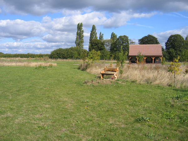
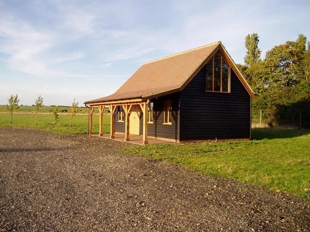
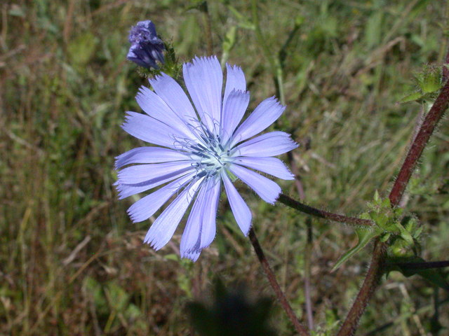
The parish is home to several notable landmarks and points of interest. One such landmark is Barton Hall, a 16th-century manor house that has been converted into a hotel and conference center. The parish also boasts Barton Nature Reserve, a protected area of wildlife and natural beauty, providing opportunities for outdoor activities such as walking and birdwatching.

Overall, Barton, Cambridgeshire, offers a peaceful and idyllic countryside setting, while still providing easy access to the amenities and attractions of nearby towns and cities.

If you have any feedback on the listing, please let us know in the comments section below.
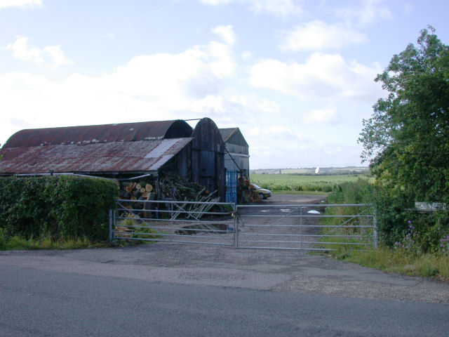
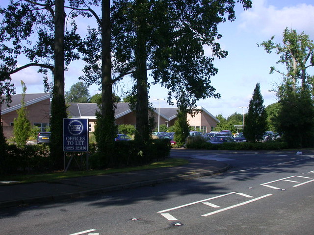
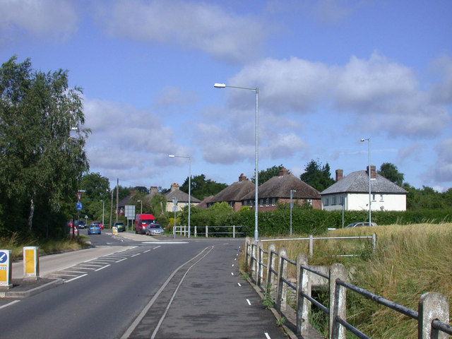
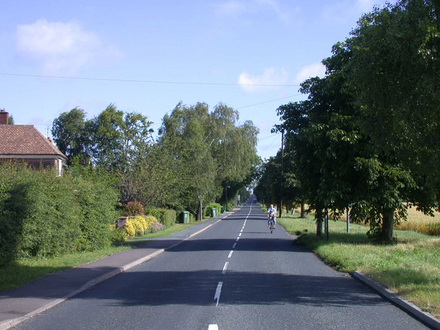
Barton Images

Images are sourced within 2km of 52.186115/0.055927 or Grid Reference TL4056. Thanks to Geograph Open Source API. All images are credited.

Barton Glebe Woodland Burial Site and Memorial Lodge, Comberton Road, Cambs The Arbory Trust site at Barton is the first of its kind and will eventually cover some 38 acres.
Barton Glebe Woodland Burial Site and Memorial Lodge, Comberton Road, Cambs
The Arbory Trust site at Barton is the first of its kind and will eventually cover some 38 acres.
Woodland burial site This is the Memorial Lodge of the Arbory Trust's burial site outside Barton. The area has been planted with trees which will grow into a respectable wood in 50 years or so.
Woodland burial site
This is the Memorial Lodge of the Arbory Trust's burial site outside Barton. The area has been planted with trees which will grow into a respectable wood in 50 years or so.
Footpath to Comberton This footpath starts at Lord's Bridge on the Wimpole Road (A603) and heads in a generally westerly direction. At this point the path leads northwards.
Footpath to Comberton
This footpath starts at Lord's Bridge on the Wimpole Road (A603) and heads in a generally westerly direction. At this point the path leads northwards.
Byway from Comberton The byway ends at this point, turning right as a footpath which leads to Lord's Bridge on the A603.
Byway from Comberton
The byway ends at this point, turning right as a footpath which leads to Lord's Bridge on the A603.
Stream in spate The Bourn Brook often floods into neighbouring fields and is close to doing so here.
Stream in spate
The Bourn Brook often floods into neighbouring fields and is close to doing so here.
Lord's Bridge This bridge carries the A603 Wimpole Road over Bourn Brook.
Lord's Bridge
This bridge carries the A603 Wimpole Road over Bourn Brook.
Farmland at Highfield Farm The farm is also a caravan and camping site (see <span class="nowrap"><a title="http://www.highfieldfarmtouringpark.co.uk/" rel="nofollow ugc noopener" href="http://www.highfieldfarmtouringpark.co.uk/">Link</a><img style="margin-left:2px;" alt="External link" title="External link - shift click to open in new window" src="https://s1.geograph.org.uk/img/external.png" width="10" height="10"/></span> ). This field on the north side of the property is a recreational facility for their customers.
Farmland at Highfield Farm
The farm is also a caravan and camping site (see LinkExternal link ). This field on the north side of the property is a recreational facility for their customers.
Foxglove Glade Part of the Arbory Trust woodland burial site
Foxglove Glade
Part of the Arbory Trust woodland burial site
Chicory (Cichorium intybus) Flowers as well as trees are a feature of the woodland burial ground
Chicory (Cichorium intybus)
Flowers as well as trees are a feature of the woodland burial ground
Private Walk The white sign announces that this is a "Private Walk for Campers Only" (see <a href="https://www.geograph.org.uk/photo/350432">TL3857 : Farmland at Highfield Farm</a>)
Private Walk
The white sign announces that this is a "Private Walk for Campers Only" (see TL3857 : Farmland at Highfield Farm)
Barn south of Barton Road
Fieldscape with Radio Telescope
Home Farm One of the MRAO radiotelescopes can be seen in the background
Home Farm
One of the MRAO radiotelescopes can be seen in the background
Horizon Park Offices to let on the Barton Road
Horizon Park
Offices to let on the Barton Road
Barton Road, Comberton Approaching the junction with Long Road
Barton Road, Comberton
Approaching the junction with Long Road
Long Road, Comberton Viewed from its junction with Barton Road, the road is very nearly dead straight all the way up to the old St Neots Road in TL3859
Long Road, Comberton
Viewed from its junction with Barton Road, the road is very nearly dead straight all the way up to the old St Neots Road in TL3859
Wheat field north of byway
Wheat field south of byway
Show me another place!

Barton is located at Grid Ref: TL4056 (Lat: 52.186115, Lng: 0.055927)

Administrative County: Cambridgeshire

District: South Cambridgeshire

Police Authority: Cambridgeshire

What 3 Words

///thigh.mats.tables. Near Comberton, Cambridgeshire

Nearby Locations

Barton

Related Wikis

Barton, Cambridgeshire

Barton is a village and civil parish in the South Cambridgeshire district of Cambridgeshire, England. It is about 4 miles (6.4 km) south-west of Cambridge...
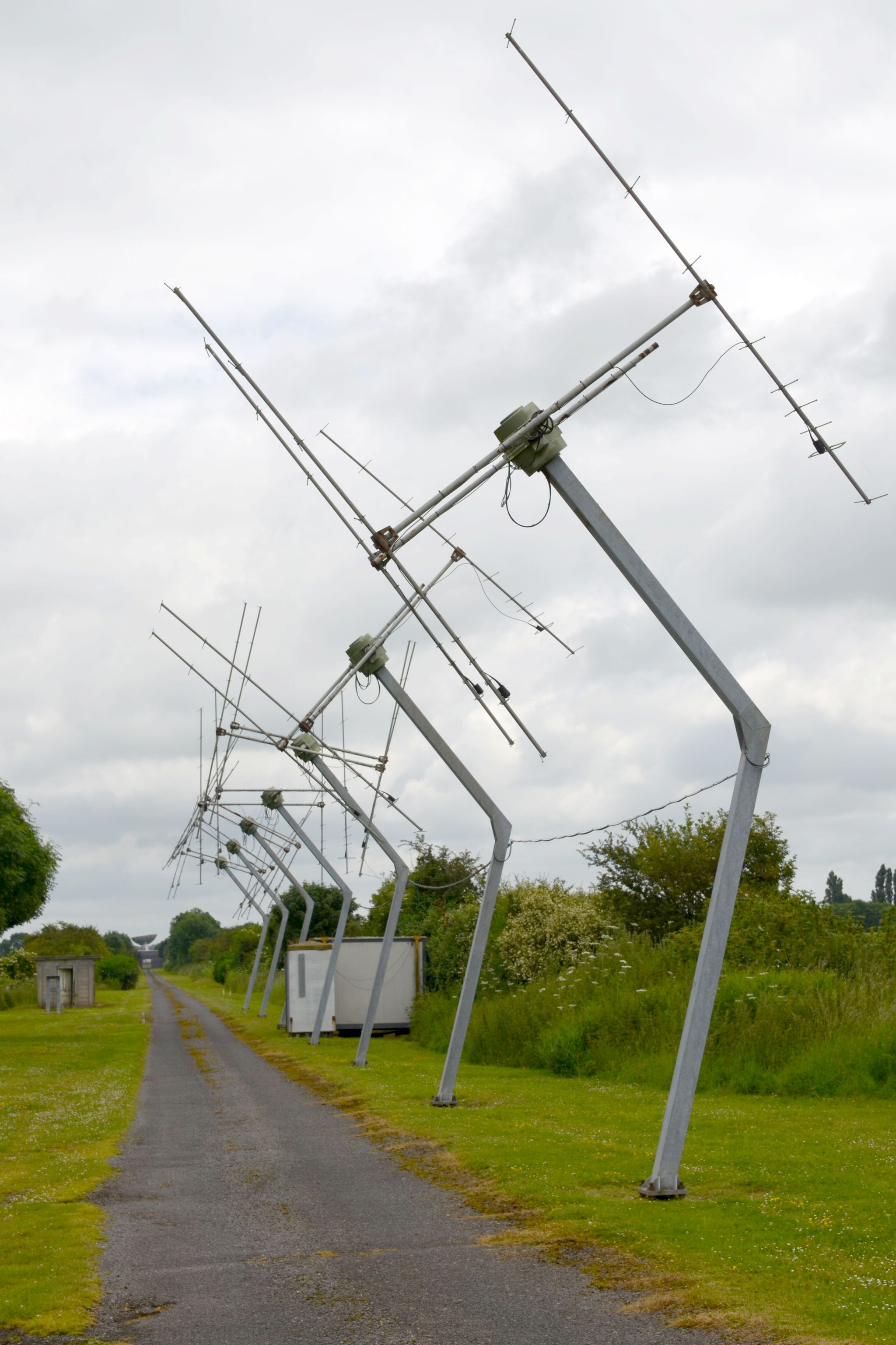
Ryle Telescope

The Ryle Telescope (named after Martin Ryle, and formerly known as the 5-km Array) was a linear east-west radio telescope array at the Mullard Radio Astronomy...

Arcminute Microkelvin Imager

The Arcminute Microkelvin Imager (AMI) consists of a pair of interferometric radio telescopes - the Small and Large Arrays - located at the Mullard Radio...

Cambridge Low Frequency Synthesis Telescope

The Cambridge Low-Frequency Synthesis Telescope (CLFST) is an east-west aperture synthesis radio telescope currently operating at 151 MHz. It consists...

Lord's Bridge railway station

Lord's Bridge was a railway station on the Varsity Line which ran between Oxford and Cambridge. Situated in the north of the parish of Harlton on the western...

Comberton

Comberton is a village and civil parish in South Cambridgeshire, England, just east of the Prime Meridian. == History == Archaeological finds, including...

Mullard Radio Astronomy Observatory

The Mullard Radio Astronomy Observatory (MRAO) is located near Cambridge, UK and is home to a number of the largest and most advanced aperture synthesis...

Blue Ball Inn

The Blue Ball Inn is a pub in Grantchester, Cambridgeshire, England. It was rebuilt in 1893, and the layout is intact. It is on the Regional Inventory...

Nearby Amenities

Located within 500m of 52.186115,0.055927
Barton
Place: village
Source Name: dictaphone
Wikidata: Q2131528
Lat/Long: 52.18213/0.0572957
Pub
The Hoops
Source Name: dictaphone
Wikidata: Q26596670
Lat/Long: 52.1823617/0.0567843
Bus Stop
Kings Grove
Naptan AtcoCode: 0500SBARN002
Naptan Bearing: E
Naptan CommonName: Kings Grove
Naptan Indicator: near
Naptan Landmark: Kings Grove
Naptan NaptanCode: cmbdtpdm
Naptan PlusbusZoneRef: CAMBDGE
Naptan ShortCommonName: Kings Grove
Naptan Street: New Road
Naptan Verified: no
Source: naptan_import
Lat/Long: 52.1830976/0.060352
Bus Stop
Kings Grove
Naptan AtcoCode: 0500SBARN006
Naptan Bearing: W
Naptan BusStopType: CUS
Naptan CommonName: Kings Grove
Naptan Indicator: opp
Naptan Landmark: Kings Grove
Naptan NaptanCode: cmbdtpga
Naptan PlusbusZoneRef: CAMBDGE
Naptan ShortCommonName: Kings Grove
Naptan Street: New Road
Naptan Verified: no
Source: naptan_import
Lat/Long: 52.1829967/0.0605188
Bus Stop
High Street
Bin: yes
Naptan AtcoCode: 0500SBARN010
Naptan Bearing: NE
Naptan CommonName: High Street
Naptan Indicator: opp
Naptan Landmark: School Lane
Naptan NaptanCode: cmbdtpgp
Naptan PlusbusZoneRef: CAMBDGE
Naptan ShortCommonName: High Street
Naptan Street: New Road
Route Ref: 18;18A
Shelter: yes
Source: naptan_import
Lat/Long: 52.1824879/0.0561607
Bus Stop
High Street
Bin: yes
Naptan AtcoCode: 0500SBARN012
Naptan Bearing: W
Naptan CommonName: High Street
Naptan Indicator: near
Naptan Landmark: High Street
Naptan NaptanCode: cmbdtpgw
Naptan PlusbusZoneRef: CAMBDGE
Naptan ShortCommonName: High Street
Naptan Street: New Road
Naptan Verified: no
Shelter: yes
Source: naptan_import
Lat/Long: 52.182352/0.0558997
Post Box
Collection Times: Mo-Fr 17:15; Sa 12:00
Operator: Royal Mail
Post Box Design: type_a
Post Box Type: pillar
Ref: CB23 227
Royal Cypher: EIIR
Royal Cypher Wikidata: Q33102113
Lat/Long: 52.182507/0.0558074
Bench
Backrest: yes
Inscription: Barton W.I. 2003
Material: wood
Lat/Long: 52.1825808/0.0553173
Post Office
Barton Post Office
Brand: Post Office
Brand Wikidata: Q1783168
Check Date: 2023-09-27
Ref Pol Id: 313
Lat/Long: 52.1827633/0.0558163
Conkers Stores
Shop: convenience
Lat/Long: 52.1827378/0.0558966
Henrich Zelinka
Craft: blacksmith
Lat/Long: 52.182126/0.0584828
Bench
Backrest: no
Material: wood
Lat/Long: 52.1829872/0.0605543
Bench
Backrest: no
Material: stone
Lat/Long: 52.1853498/0.0500336
Bus Stop
Foxcotte Fencing
Bus: yes
Public Transport: platform
Shelter: yes
Lat/Long: 52.1853607/0.0499393
Bus Stop
Foxcotte Fencing
Bus: yes
Naptan AtcoCode: 0500SBARN016
Naptan NaptanCode: CMBGPAPA
Public Transport: platform
Lat/Long: 52.1852883/0.0498529
Bench
Backrest: yes
Inscription: In memory of Rees & Gwyneth Evans Barton residents 1954-2017
Material: wood
Openbenches Id: 18768
Lat/Long: 52.1831063/0.0603179
Bench
Backrest: yes
Inscription: IN LOVING MEMORY OF MARTHA ARMITAGE 1906-1996
Material: wood
Openbenches Id: 22961
Lat/Long: 52.1824499/0.0557557
Bench
Backrest: yes
Inscription: To John Boocock in recognition of his services to Barton Parish
Material: wood
Openbenches Id: 22962
Lat/Long: 52.1825107/0.0556277
Bench
Backrest: no
Lat/Long: 52.1831521/0.0536495
Public Bookcase
Barton Booksharing Scheme
Booth: K6
Colour: red
Disused Amenity: telephone
Man Made: telephone_box
Public Bookcase Type: phone_box
Lat/Long: 52.1821077/0.0558115
Bicycle Parking
Bicycle Parking: stands
Capacity: 6
Covered: no
Lat/Long: 52.1824844/0.0558108
Board Title: Barton Parish Council
Board Type: notice
Information: board
Message: local
Operator: Barton Parish Council
Tourism: information
Lat/Long: 52.182503/0.0558287
Bench
Backrest: yes
Inscription: Barton /w WI /w 1971 1981
Material: wood
Lat/Long: 52.1863558/0.0588547
Board Title: Footpaths of Barton
Information: map
Tourism: information
Lat/Long: 52.1825564/0.055604
Running Fox Walks board 7
Board Title: Running Fox Walks / 7 Flailing and Baling
Board Type: nature
Information: board
Operator: Burwash Manor Farm
Source: survey
Tourism: information
Lat/Long: 52.1844963/0.0621314
Information: route_marker
Tourism: information
Lat/Long: 52.1863087/0.0588959
Information: guidepost
Tourism: information
Lat/Long: 52.1827375/0.0569587
Information: guidepost
Tourism: information
Lat/Long: 52.1830908/0.0580703
Board Type: notice
Information: board
Lit: no
Support: pole
Tourism: information
Visibility: house
Lat/Long: 52.1830882/0.0580856
Information: guidepost
Tourism: information
Lat/Long: 52.1857656/0.0486694
Information: guidepost
Tourism: information
Lat/Long: 52.1821859/0.0568883
Watering Place
Lat/Long: 52.1889155/0.0599615
Barton
Man Made: village_sign
Lat/Long: 52.1825323/0.0552545
Bicycle Parking
Bicycle Parking: stands
Capacity: 6
Lat/Long: 52.1820506/0.0574489
Bicycle Parking
Capacity: 6
Lat/Long: 52.1822888/0.0565899
Entrance: yes
Lat/Long: 52.1821871/0.057641
Bicycle Parking
Capacity: 4
Lat/Long: 52.1821767/0.0577157
Bench
Lat/Long: 52.1821581/0.0576242
Bench
Lat/Long: 52.1821512/0.058231
Waste Basket
Lat/Long: 52.1825074/0.0560991
Waste Basket
Lat/Long: 52.1823092/0.0558496
Bench
Backrest: yes
Material: wood
Lat/Long: 52.1829695/0.0576956
Bench
Backrest: no
Material: wood
Lat/Long: 52.1845037/0.062135
Bench
Backrest: yes
Material: wood
Lat/Long: 52.1819143/0.0576578
Entrance: yes
Lat/Long: 52.1819067/0.0576636
Bench
Backrest: yes
Material: wood
Lat/Long: 52.1817976/0.0578167
Bench
Lat/Long: 52.1848503/0.0603973
The data included in this document is from www.openstreetmap.org. The data is made available under ODbL.

Have you been to Barton?

Leave your review of Barton below (or comments, questions and feedback).