Brimpton Common

Settlement in Berkshire

England

Brimpton Common

The Old Post Office, Brimpton They now have to get their stamps by mail order (joke).
The Old Post Office, Brimpton Credit: David Howard

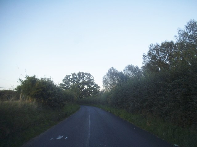
Brimpton Common is a small, picturesque village located in the county of Berkshire, England. Situated approximately 9 miles south of the town of Newbury, it is nestled in the heart of the countryside, surrounded by idyllic landscapes and rolling hills.

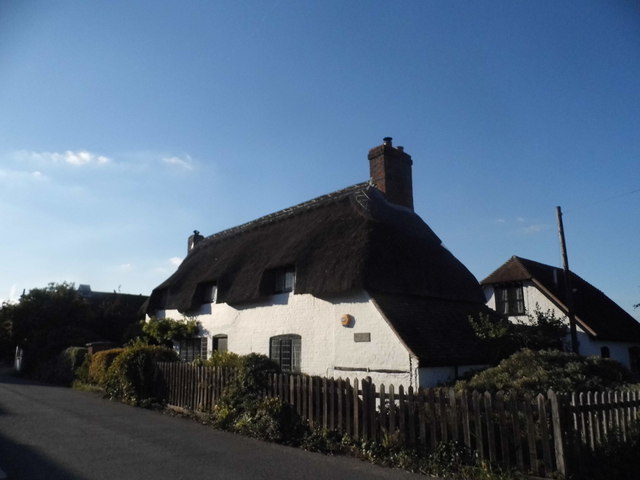
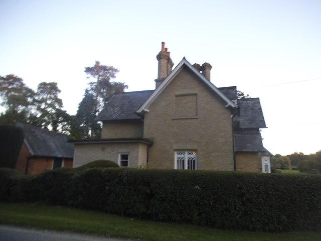
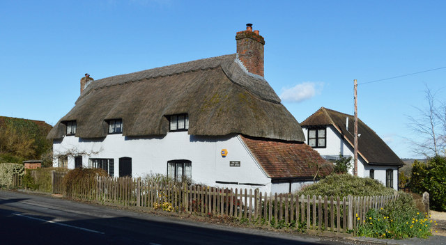
The village is known for its charming thatched cottages, which are a prominent feature of the local architecture. The well-preserved historic buildings give Brimpton Common a traditional and timeless atmosphere, attracting visitors who seek a glimpse into the past.

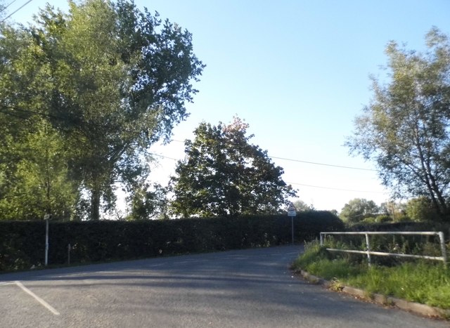
One of the main attractions in Brimpton Common is the village green, a peaceful and inviting space where residents and visitors can relax and enjoy the tranquil surroundings. The green is often used for community events and gatherings, fostering a sense of unity and togetherness among the locals.

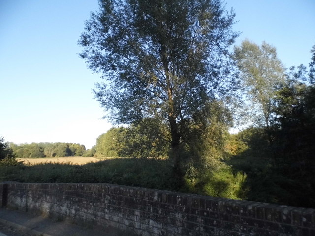
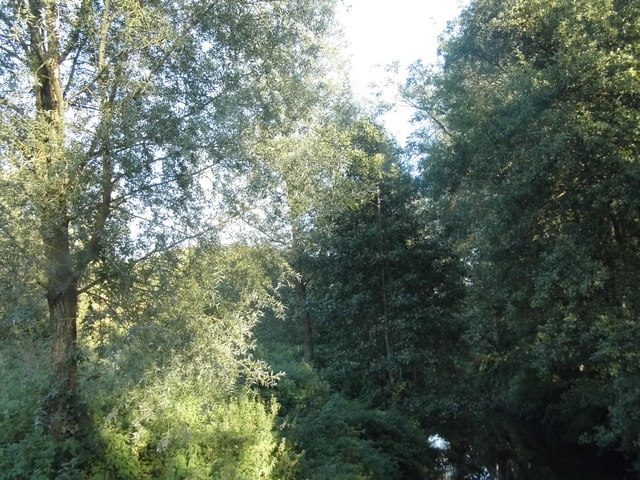
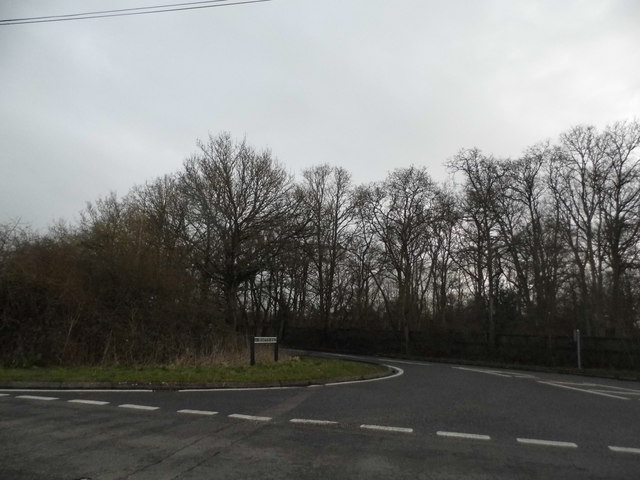
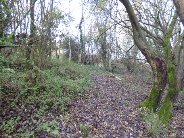
Nature enthusiasts are drawn to Brimpton Common for its proximity to various walking and cycling trails, offering opportunities to explore the stunning countryside and encounter local wildlife. The area is also home to several nature reserves, providing habitats for a diverse range of flora and fauna.

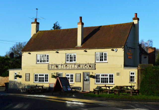
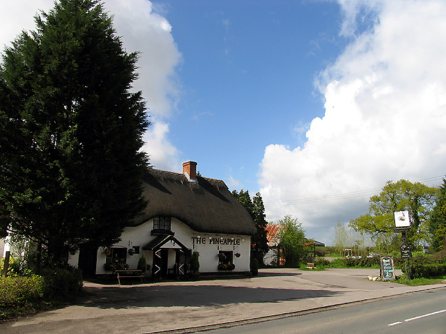
Although Brimpton Common is a relatively small village, it benefits from a close-knit community that takes pride in preserving its heritage. The village has a local pub, which serves as a hub for socializing and exchanging stories, further enhancing the sense of community.

Overall, Brimpton Common is a delightful destination for those seeking a tranquil retreat in the heart of the Berkshire countryside, offering a blend of natural beauty, historic charm, and a strong sense of community.

If you have any feedback on the listing, please let us know in the comments section below.

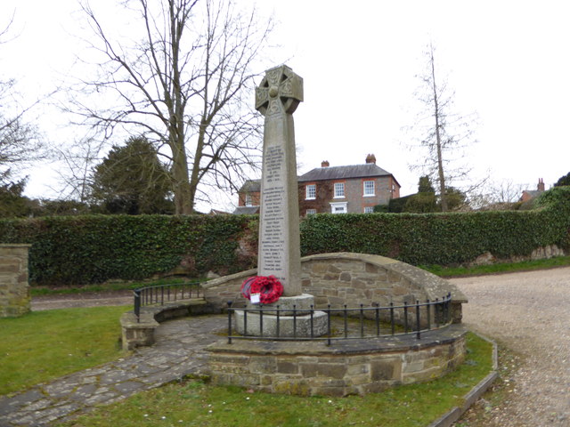
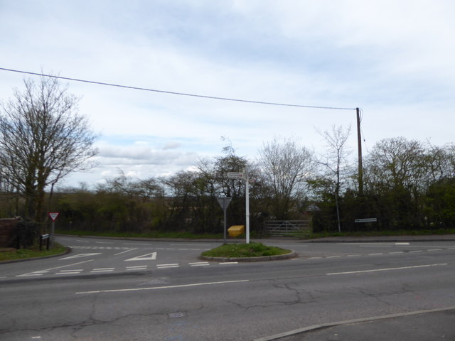
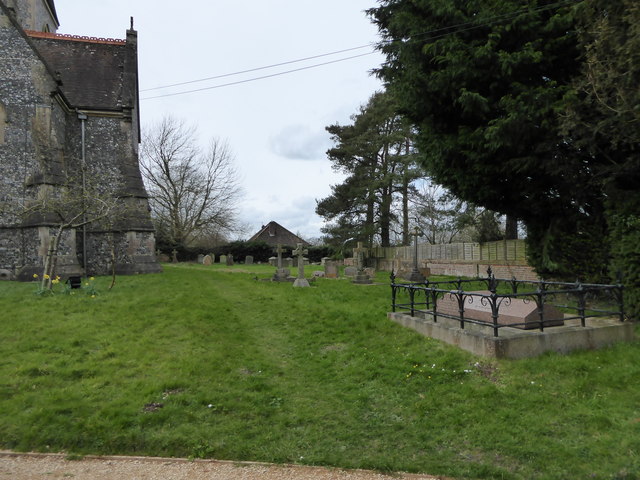
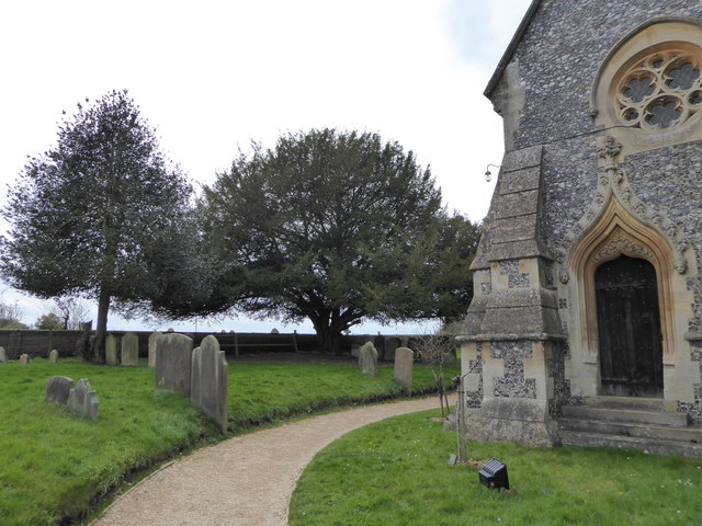
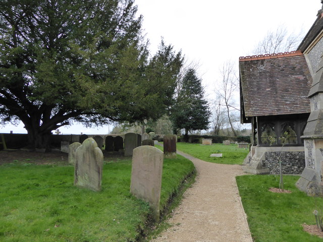
Brimpton Common Images

Images are sourced within 2km of 51.36404/-1.184977 or Grid Reference SU5663. Thanks to Geograph Open Source API. All images are credited.

The Old Post Office, Brimpton They now have to get their stamps by mail order (joke).
The Old Post Office, Brimpton
They now have to get their stamps by mail order (joke).
Shalford Bridge, Brimpton Going over the River Enborne
Shalford Bridge, Brimpton
Going over the River Enborne
The River Enborne from Shalford Bridge
Seriously closed road in Brimpton Unlike in London there was notice of the road closure a couple of miles east, I had no idea which road though and no idea of an alternative, and was very lucky it was the only road on the route I wasn't going to use but turned off where the diversion was anyway. I may have become extremely confused otherwise as I am totally unfamiliar with the area. Brimpton Memorial is on the left.
Seriously closed road in Brimpton
Unlike in London there was notice of the road closure a couple of miles east, I had no idea which road though and no idea of an alternative, and was very lucky it was the only road on the route I wasn't going to use but turned off where the diversion was anyway. I may have become extremely confused otherwise as I am totally unfamiliar with the area. Brimpton Memorial is on the left.
Wasing Lane, Brimpton
House on Wasing Lane
Wasing Lane at the junction of Back Lane
The Badger's Wood, Baughurst, Hampshire
The Old Post Office, Brimpton, Berkshire C18. White painted brick, thatched roof, hipped to right, end stacks to right and left and 3 eyebrow semi-dormers. Tile hung gabled end to left. 1 1/2 storeys. 3 window front, all casements, some with leaded lights. 2 boarded doors, to right of left hand window and to left of right hand window. Lean-to extension to right.

Listing NGR: SU5586564786

(Source:Historic England)
The Old Post Office, Brimpton, Berkshire
C18. White painted brick, thatched roof, hipped to right, end stacks to right and left and 3 eyebrow semi-dormers. Tile hung gabled end to left. 1 1/2 storeys. 3 window front, all casements, some with leaded lights. 2 boarded doors, to right of left hand window and to left of right hand window. Lean-to extension to right. Listing NGR: SU5586564786 (Source:Historic England)
Brimpton Road at the B3051 junction
2016: a year on Geography (Day 89) As Billy Idol might say "It's a nice day for a white wedding", even if it was a bit chilly at Wasing Park today
2016: a year on Geography (Day 89)
As Billy Idol might say "It's a nice day for a white wedding", even if it was a bit chilly at Wasing Park today
St Peter, Brimpton: late March 2016
War Memorial, Brimpton: late March 2016
St Nicholas, Wasing: late March 2016
Junction of Brimpton and Crookham Common Roads
St Peter, Brimpton: churchyard (i)
St Peter, Brimpton: churchyard (ii)
St Peter, Brimpton: churchyard (iii)
Show me another place!

Brimpton Common is located at Grid Ref: SU5663 (Lat: 51.36404, Lng: -1.184977)

Unitary Authority: West Berkshire

Police Authority: Thames Valley

What 3 Words

///empire.magic.racetrack. Near Tadley, Hampshire

Related Wikis

Brimpton Common

Brimpton Common is a hamlet in Berkshire, England. It is part of Brimpton Parish, and part of the Benefice of Aldermaston and Woolhampton in the Diocese...

The Hurst School

The Hurst School, previously The Hurst Community College, is a state secondary school in the village of Baughurst, within the county of Hampshire in England...

Heath End, Hampshire

Heath End is a small village between Tadley and Baughurst in Hampshire, England. == Governance == The village is part of the civil parish of Tadley and...

Wasing Wood Ponds

Wasing Wood Ponds is a 13.5-hectare (33-acre) biological Site of Special Scientific Interest south of Aldermaston in Berkshire.The ponds are special for...

Nearby Amenities

Located within 500m of 51.36404,-1.184977
Old Phone: +44 118 9814449
Postal Code: RG7 4RL
Removed Amenity: telephone
Lat/Long: 51.3623415/-1.1871322
Post Box
Collection Times: Mo-Fr 16:15; Sa 08:15; Su off
Operator: Royal Mail
Post Box Type: lamp
Postal Code: RG7
Ref: RG7 27
Royal Cypher: EIIR
Royal Cypher Wikidata: Q33102113
Survey Date: 2021-12-28
Lat/Long: 51.3627105/-1.1878624
Brimpton Common
Place: hamlet
Lat/Long: 51.3632654/-1.1857757
Bus Stop
Lat/Long: 51.3637292/-1.1848457
Bus Stop
Lat/Long: 51.3612724/-1.182286
Bus Stop
Lat/Long: 51.3610972/-1.182446
Oak Tree Farm
Landuse: farm
Note Retag: CS #48756035
Lat/Long: 51.3606529/-1.1819073
Hampshire
Direction: east
Traffic Sign: boundary
Lat/Long: 51.3617378/-1.1853998
Bus Stop
The Pineapple Inn
Naptan AtcoCode: 1900HA010560
Naptan Bearing: W
Naptan CommonName: The Pineapple Inn
Naptan Crossing: Hockford Lane
Naptan Landmark: O/s Public House
Naptan NaptanCode: hamdptdm
Naptan Street: B3051
Naptan Verified: no
Source: naptan_import
Lat/Long: 51.3622704/-1.1872319
Bus Stop
The Pineapple Inn
Naptan AtcoCode: 1900HA010561
Naptan Bearing: E
Naptan CommonName: The Pineapple Inn
Naptan Crossing: Hockford Lane
Naptan Landmark: Opp Public House
Naptan NaptanCode: hamdptdp
Naptan Street: B3051
Naptan Verified: no
Source: naptan_import
Lat/Long: 51.3623424/-1.1872306
Larkwhistle Farm
Landuse: farm
Note Retag: CS #48756035
Source: OS_OpenData_StreetView
Lat/Long: 51.3616588/-1.1797425
Blacknest Farm
Place: farm
Lat/Long: 51.3641089/-1.1889701
Give Way
Direction: backward
Source: Bing
Lat/Long: 51.3614006/-1.1826282
Stop
Direction: backward
Lat/Long: 51.3614923/-1.1829214
Give Way
Direction: backward
Source: Bing
Lat/Long: 51.362389/-1.1876719
Give Way
Source: Bing
Lat/Long: 51.3655673/-1.186046
Give Way
Source: Bing
Lat/Long: 51.3654079/-1.1859884
Give Way
Direction: forward
Source: Bing
Lat/Long: 51.362631/-1.187851
Give Way
Direction: forward
Source: Bing
Lat/Long: 51.3623439/-1.1879884
Give Way
Direction: forward
Source: Bing
Lat/Long: 51.3624848/-1.187807
Power: pole
Lat/Long: 51.3679475/-1.1877331
Power: pole
Lat/Long: 51.3671286/-1.1861721
Power: pole
Lat/Long: 51.3668105/-1.1850777
Power: pole
Lat/Long: 51.3664956/-1.1839512
Power: pole
Lat/Long: 51.3661339/-1.1827228
Power: pole
Lat/Long: 51.365804/-1.1815962
Power: pole
Lat/Long: 51.3674485/-1.1872825
Power: pole
Lat/Long: 51.3667334/-1.187481
Power: pole
Lat/Long: 51.3657237/-1.1819825
Power: pole
Lat/Long: 51.3661976/-1.183742
Power: pole
Lat/Long: 51.3671621/-1.1872208
Power: pole
Lat/Long: 51.3647113/-1.1783856
The data included in this document is from www.openstreetmap.org. The data is made available under ODbL.

Have you been to Brimpton Common?

Leave your review of Brimpton Common below (or comments, questions and feedback).