Berry's Copse
Wood, Forest in Berkshire
England
Berry's Copse

Berry's Copse is a picturesque woodland located in Berkshire, England. Situated near the village of Berry's Green, the copse covers an area of approximately 50 acres and is a popular destination for nature lovers and outdoor enthusiasts alike.
The wood is characterized by its dense canopy of towering trees, predominantly consisting of native species such as oak, beech, and ash. These majestic trees provide shelter and a habitat for a wide variety of wildlife, including birds, mammals, and insects. The forest floor is covered with a thick carpet of moss, ferns, and wildflowers, creating a vibrant and diverse ecosystem.
Visitors to Berry's Copse can explore a network of well-maintained footpaths that wind their way through the woods, allowing for leisurely walks and peaceful contemplation of nature's beauty. The tranquil atmosphere and the soothing sounds of rustling leaves and birdsong make it an ideal escape from the hustle and bustle of everyday life.
In addition to its natural beauty, Berry's Copse also holds historical significance. The woodland has been preserved for centuries and was once used as a hunting ground by local nobility. Remnants of old stone walls and hunting lodges can still be found within the copse, serving as a reminder of its past.
Overall, Berry's Copse is a hidden gem in Berkshire, offering visitors a chance to reconnect with nature, immerse themselves in its tranquility, and discover the rich history that lies within its ancient trees.
If you have any feedback on the listing, please let us know in the comments section below.
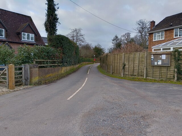
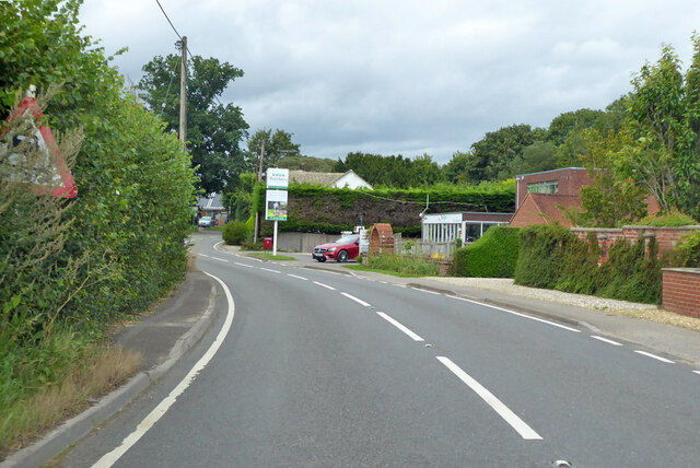
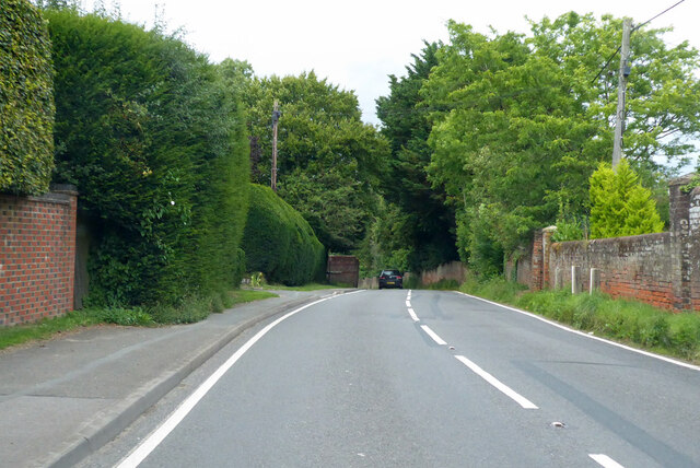
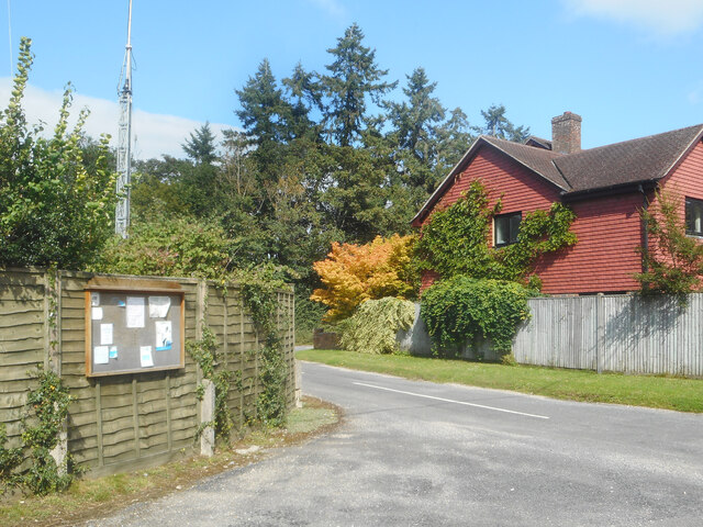
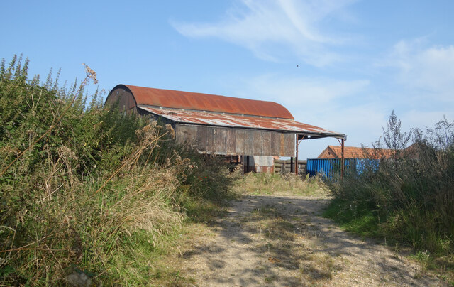
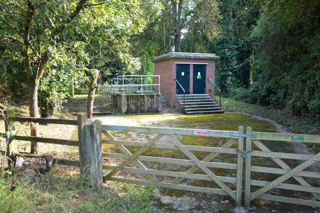
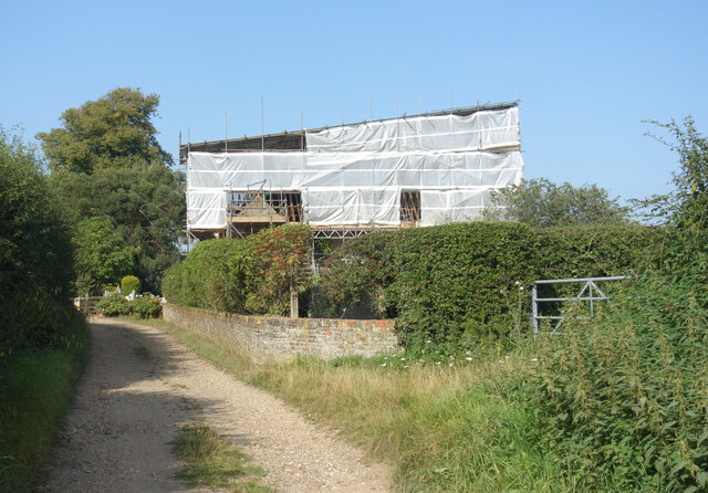
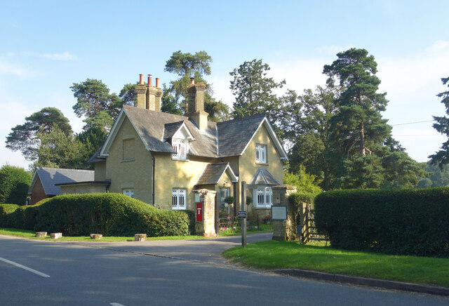
Berry's Copse Images
Images are sourced within 2km of 51.365896/-1.1932462 or Grid Reference SU5663. Thanks to Geograph Open Source API. All images are credited.


Berry's Copse is located at Grid Ref: SU5663 (Lat: 51.365896, Lng: -1.1932462)
Unitary Authority: West Berkshire
Police Authority: Thames Valley
What 3 Words
///notifying.amplified.happier. Near Tadley, Hampshire
Nearby Locations
Related Wikis
Brimpton Common
Brimpton Common is a hamlet in Berkshire, England. It is part of Brimpton Parish, and part of the Benefice of Aldermaston and Woolhampton in the Diocese...

Ashford Hill NNR
Ashford Hill is a British national nature reserve next to the village of Ashford Hill in Hampshire. Part of the reserve is a designated a Site of Special...

Shalford Preceptory
Shalford Preceptory was a preceptory of Knights Hospitaller at Shalford in the civil parish of Brimpton in the English county of Berkshire. It was established...
Brimpton
Brimpton is a mostly rural village and civil parish in West Berkshire, England. Brimpton is centred 4.5 miles (7.2 km) ESE of the town of Newbury. ��2...

Ashford Hill Woods and Meadows
Ashford Hill Woods and Meadows is a 141.5-hectare (350-acre) biological Site of Special Scientific Interest near Ashford Hill in Hampshire. An area of...

The Hurst School
The Hurst School, previously The Hurst Community College, is a state secondary school in the village of Baughurst, within the county of Hampshire in England...

Ashford Hill
Ashford Hill is a village in Basingstoke and Deane, Hampshire, England. == Governance == The village of Ashford Hill is part of the civil parish of Ashford...
Heath End, Hampshire
Heath End is a small village between Tadley and Baughurst in Hampshire, England. == Governance == The village is part of the civil parish of Tadley and...
Nearby Amenities
Located within 500m of 51.365896,-1.1932462Have you been to Berry's Copse?
Leave your review of Berry's Copse below (or comments, questions and feedback).