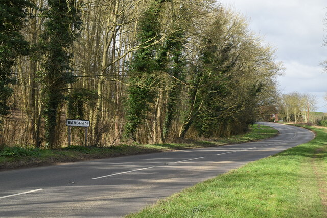
Barsham

Civil Parish in Suffolk East Suffolk

England

Barsham

Field of Stubble
Field of Stubble Credit: N Chadwick

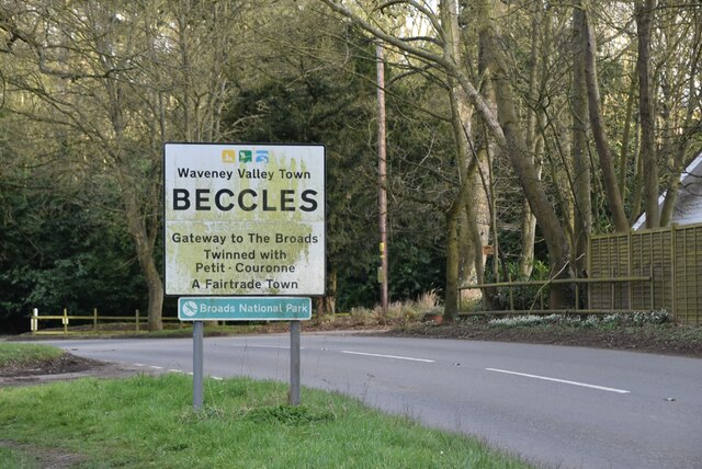
Barsham is a civil parish located in the county of Suffolk, England. It is situated approximately 4 miles to the northeast of Beccles and 18 miles south of Great Yarmouth. The parish covers an area of around 7 square miles and is predominantly rural, characterized by its picturesque countryside and charming landscape.

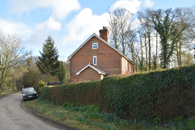
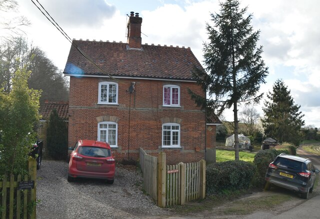
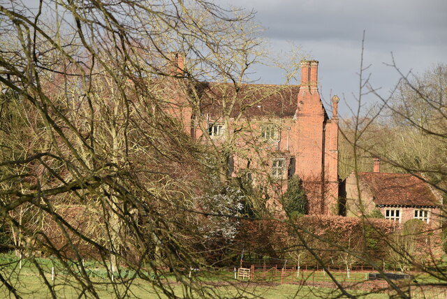
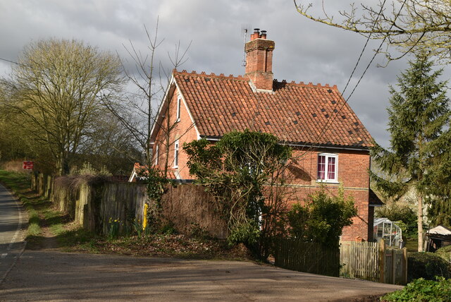
The village of Barsham itself is small, with a population of around 200 residents. It is known for its historic buildings and traditional English architecture, including the Grade I listed Barsham Church, also known as the Church of the Holy Trinity. This medieval church, dating back to the 14th century, is a prominent landmark in the area and attracts visitors with its stunning stained glass windows and intricate stone carvings.

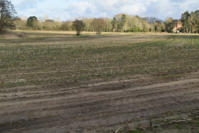
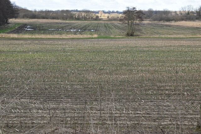
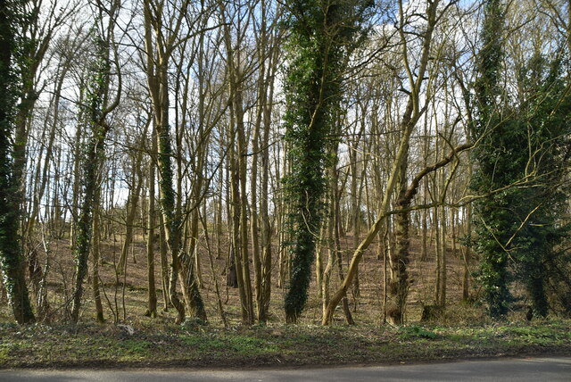
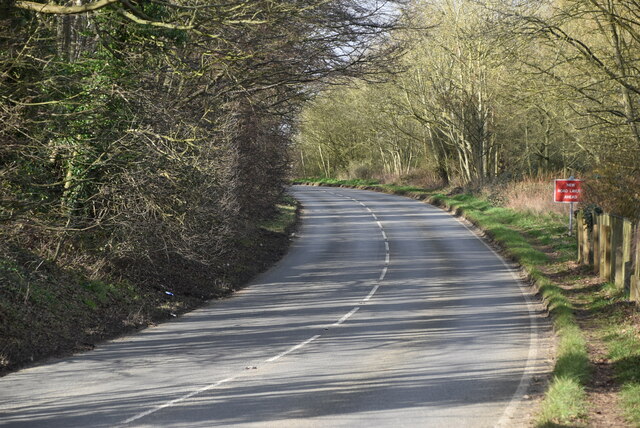
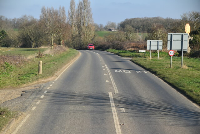
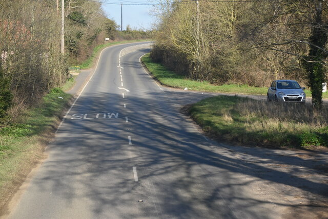
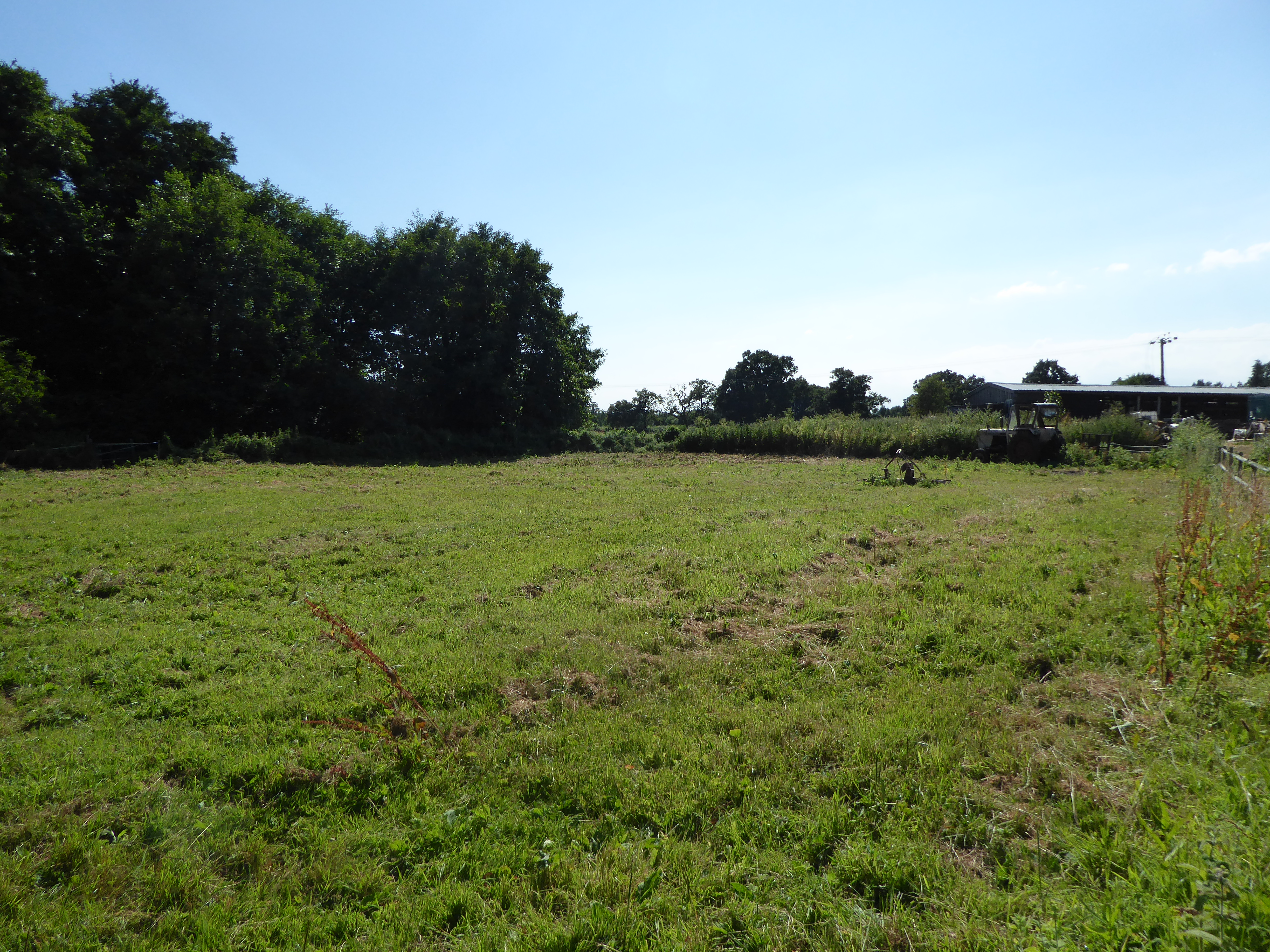
The surrounding countryside offers ample opportunities for outdoor activities such as hiking, cycling, and nature walks. The parish is also home to several farms, contributing to the agricultural heritage of the region. The area is known for its fertile soil, which supports a range of crops including cereals, potatoes, and vegetables.

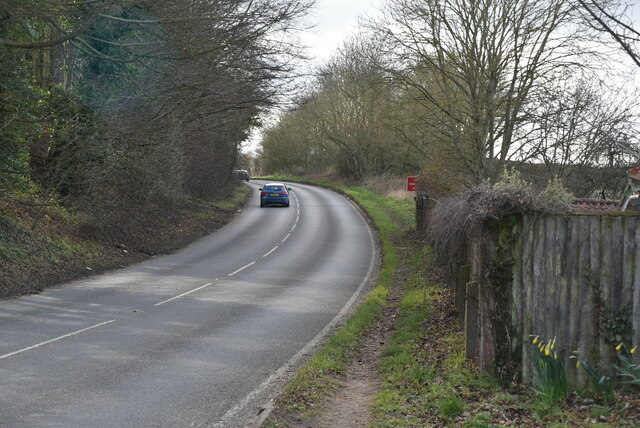
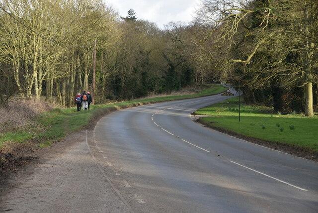
Barsham is well-connected to neighboring towns and cities via road links, including the A146 and A143, which provide convenient access to larger urban centers. The village does not have its own railway station, with the nearest stations located in Beccles and Great Yarmouth.

In summary, Barsham, Suffolk is a tranquil and idyllic civil parish that offers a glimpse into rural English life. It boasts a rich history, beautiful architecture, and scenic countryside, making it an attractive destination for both locals and tourists seeking a peaceful retreat.

If you have any feedback on the listing, please let us know in the comments section below.
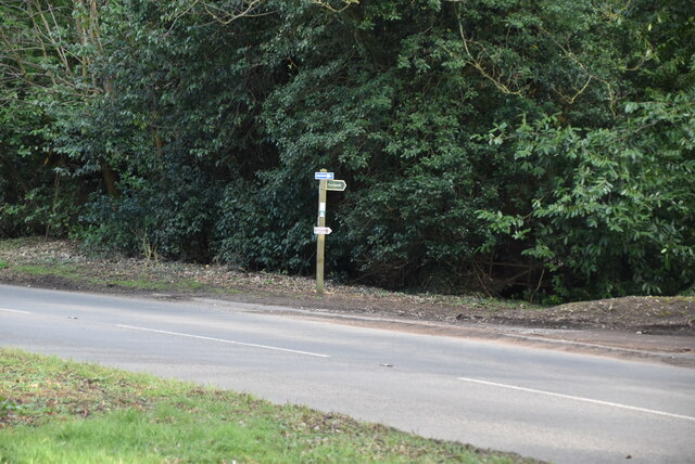
Barsham Images

Images are sourced within 2km of 52.458657/1.525379 or Grid Reference TM3990. Thanks to Geograph Open Source API. All images are credited.

Field of Stubble
Field of Stubble
Roos Hall Cottages
Roos Hall Cottages
Roos Hall Cottages
Roos Hall Cottages
Bungay Rd <span class="nowrap"><a title="https://www.sabre-roads.org.uk/wiki/index.php?title=B1062" rel="nofollow ugc noopener" href="https://www.sabre-roads.org.uk/wiki/index.php?title=B1062">Link</a><img style="margin-left:2px;" alt="External link" title="External link - shift click to open in new window" src="https://s1.geograph.org.uk/img/external.png" width="10" height="10"/></span>
Bungay Rd
Field of stubble
Field of stubble
Entering Beccles <span class="nowrap"><a title="https://en.wikipedia.org/wiki/Beccles" rel="nofollow ugc noopener" href="https://en.wikipedia.org/wiki/Beccles">Link</a><img style="margin-left:2px;" alt="External link" title="External link - shift click to open in new window" src="https://s1.geograph.org.uk/img/external.png" width="10" height="10"/></span>
Entering Beccles
Bungalow, Bungay Rd
Bungalow, Bungay Rd
Footpath off Bungay Rd
Roos Hall Grade I listed.
Roos Hall
Grade I listed.
Entering Barsham, Bungay Rd <span class="nowrap"><a title="https://en.wikipedia.org/wiki/Barsham,_Suffolk" rel="nofollow ugc noopener" href="https://en.wikipedia.org/wiki/Barsham,_Suffolk">Link</a><img style="margin-left:2px;" alt="External link" title="External link - shift click to open in new window" src="https://s1.geograph.org.uk/img/external.png" width="10" height="10"/></span>
Entering Barsham, Bungay Rd
Woodland by Bungay Rd
Roos Hall Cottage
Roos Hall Cottage
Bungay Rd <span class="nowrap"><a title="https://www.sabre-roads.org.uk/wiki/index.php?title=B1062" rel="nofollow ugc noopener" href="https://www.sabre-roads.org.uk/wiki/index.php?title=B1062">Link</a><img style="margin-left:2px;" alt="External link" title="External link - shift click to open in new window" src="https://s1.geograph.org.uk/img/external.png" width="10" height="10"/></span>
Bungay Rd
Footpath along Hangman's Lane This was once the road from Bungay Road to Ringsfield before it was re-routed and the present Ringsfield Road was created in the early 19th century. Then it was called Bowyers Lane which corrupted to Boars Lane.
The other end about 650 yards south, is on the corner of Ringsfield Road by the Sir John Leman School playing field south gate.
Water has eroded the surface, dislodging the tarmacked path and the base layer of old bricks are predominant on the pathway.
The origin of the name is uncertain but it is probable someone hung himself from one of the oak trees which line the route. Further research is ongoing.
<a href="https://www.geograph.org.uk/photo/7652943">TM4189 : Hangman's Lane, Beccles</a>
Footpath along Hangman's Lane
This was once the road from Bungay Road to Ringsfield before it was re-routed and the present Ringsfield Road was created in the early 19th century. Then it was called Bowyers Lane which corrupted to Boars Lane. The other end about 650 yards south, is on the corner of Ringsfield Road by the Sir John Leman School playing field south gate. Water has eroded the surface, dislodging the tarmacked path and the base layer of old bricks are predominant on the pathway. The origin of the name is uncertain but it is probable someone hung himself from one of the oak trees which line the route. Further research is ongoing. TM4189 : Hangman's Lane, Beccles
B1062, Barsham Bridge
Show me another place!

Barsham is located at Grid Ref: TM3990 (Lat: 52.458657, Lng: 1.525379)

Administrative County: Suffolk

District: East Suffolk

Police Authority: Suffolk

What 3 Words

///remarried.bound.tools. Near Beccles, Suffolk

Nearby Locations

Barsham

Related Wikis

Barsham, Suffolk

Barsham is a village and civil parish in the East Suffolk district of the English county of Suffolk. It is about 2 miles (3.2 km) west of Beccles, south...

Geldeston

Geldeston is a village and civil parish in the English county of Norfolk. The village is located 2.5 miles (4.0 km) north-west of Beccles and 14 miles...

Geldeston Meadows

Geldeston Meadows is a 14-hectare (35-acre) biological Site of Special Scientific Interest near Geldeston in Norfolk. It is part of the Broadland Ramsar...

Shipmeadow

Shipmeadow is a village and civil parish located in the north of the English county of Suffolk. It is in the East Suffolk district, 2.5 miles (4.0 km)...

Nearby Amenities

Located within 500m of 52.458657,1.525379
Power: tower
Lat/Long: 52.4628467/1.5257643
Power: tower
Lat/Long: 52.4605746/1.5241134
Power: tower
Lat/Long: 52.4583843/1.5225191
Power: tower
Lat/Long: 52.4562743/1.5209751
Entrance: main
Lat/Long: 52.4568531/1.5301918
Power: pole
Lat/Long: 52.4543577/1.5239453
Power: pole
Lat/Long: 52.4550418/1.5242042
Power: pole
Lat/Long: 52.4556686/1.5243825
Power: pole
Lat/Long: 52.4564196/1.5246005
Location Transition: yes
Power: pole
Transformer: distribution
Lat/Long: 52.4569999/1.5295954
Power: pole
Lat/Long: 52.4568405/1.5281899
Power: pole
Lat/Long: 52.4567179/1.5266584
Power: pole
Lat/Long: 52.4567907/1.5256941
Power: pole
Lat/Long: 52.4568744/1.5247191
The Angles Way
Information: guidepost
Material: wood
Operator: Suffolk County Council
Tourism: information
Lat/Long: 52.4568822/1.5247647
Angles Way
Information: guidepost
Material: wood
Tourism: information
Lat/Long: 52.4576026/1.521119
The data included in this document is from www.openstreetmap.org. The data is made available under ODbL.

Have you been to Barsham?

Leave your review of Barsham below (or comments, questions and feedback).