Barrington

Civil Parish in Gloucestershire Cotswold

England

Barrington

Old Milestone, A40, Barrington turn Just East of the car sales on the North side of the road. On the kept grass verge.

Inscription (was): Gloucester 26 / Oxford 20

Milestone Society National ID: GL_OXGL20
Old Milestone, A40, Barrington turn Credit: Mr Red

Barrington is a civil parish located in the county of Gloucestershire, England. Situated approximately 16 miles south of Gloucester, the parish encompasses a small rural area covering a total land area of about 6.5 square kilometers.

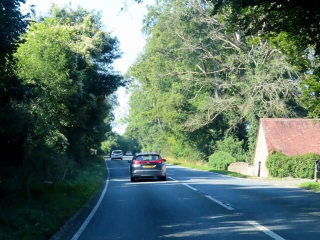
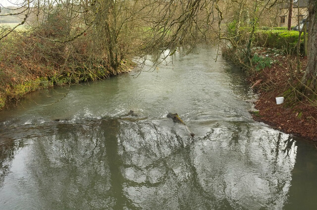
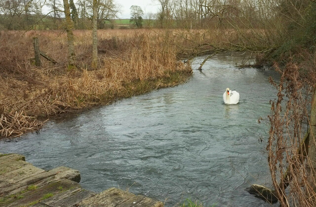
The village of Barrington is characterized by its picturesque setting, with rolling hills, open fields, and charming countryside views. The parish lies within the Cotswolds Area of Outstanding Natural Beauty, adding to its appeal for nature lovers and outdoor enthusiasts.

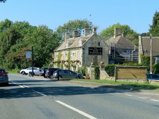
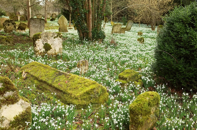
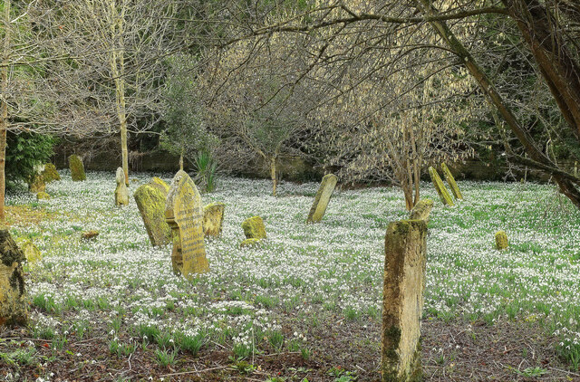
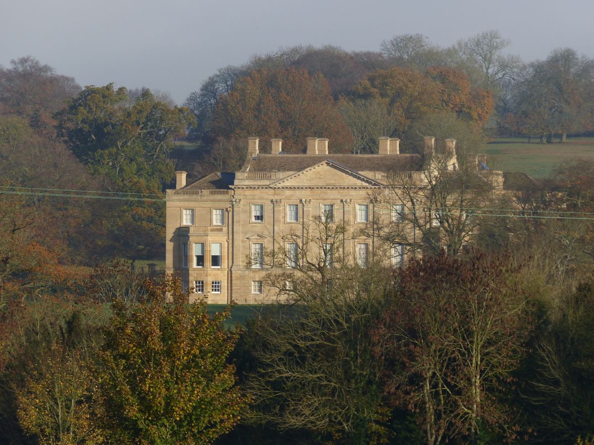
The village itself is small, with a population of around 250 residents. It boasts a tight-knit community, known for its friendly and welcoming atmosphere. The village center features a handful of historic buildings, including the St. Mary the Virgin Church, which dates back to the 12th century and is a notable landmark in Barrington.

The parish is predominantly residential, with a mix of traditional stone cottages, farmhouses, and newer properties. Agriculture plays a significant role in the local economy, with farming being the primary occupation for many residents. The area is known for its arable farming, particularly the cultivation of wheat and barley.

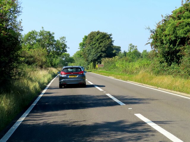
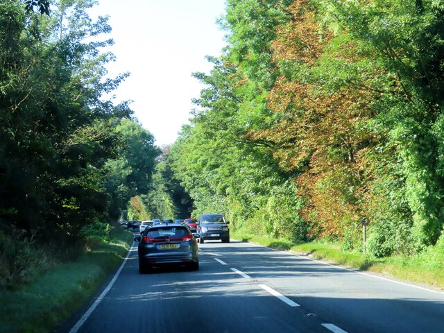
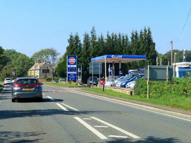
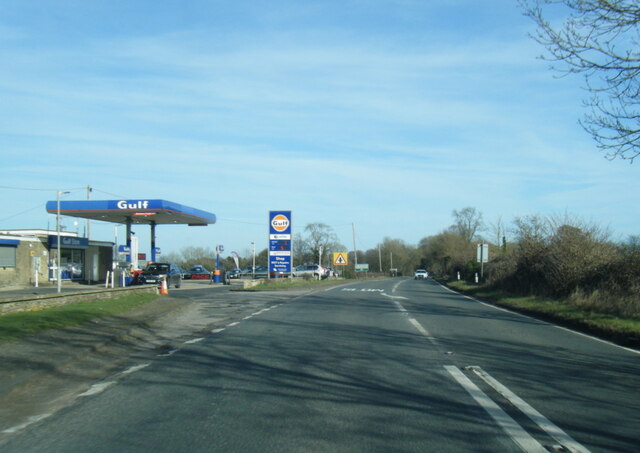
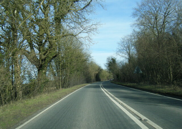
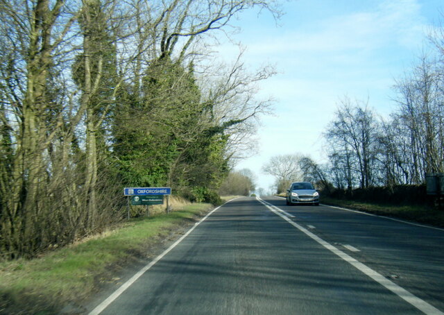
Barrington is well-connected to neighboring towns and cities, with easy access to major roads such as the A417 and A429. It is also served by a bus service, providing transportation links to nearby settlements.

In summary, Barrington is a tranquil and close-knit civil parish nestled in the stunning Gloucestershire countryside. With its historic charm, beautiful landscapes, and strong sense of community, it offers an idyllic retreat for those seeking a peaceful rural lifestyle.

If you have any feedback on the listing, please let us know in the comments section below.
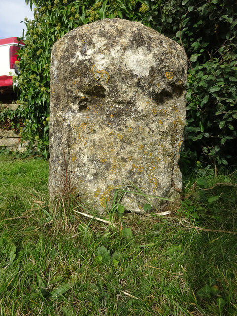
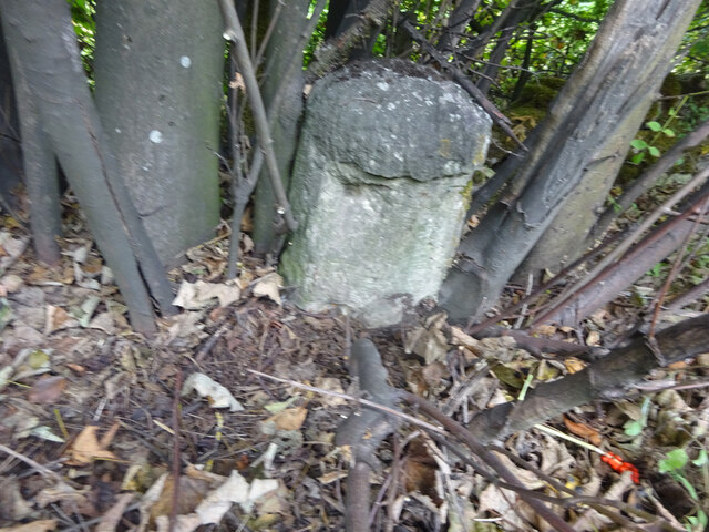
Barrington Images

Images are sourced within 2km of 51.822305/-1.692159 or Grid Reference SP2113. Thanks to Geograph Open Source API. All images are credited.

Old Milestone, A40, Barrington turn Just East of the car sales on the North side of the road. On the kept grass verge.

Inscription (was): Gloucester 26 / Oxford 20

Milestone Society National ID: GL_OXGL20
Old Milestone, A40, Barrington turn
Just East of the car sales on the North side of the road. On the kept grass verge. Inscription (was): Gloucester 26 / Oxford 20 Milestone Society National ID: GL_OXGL20
Old Milestone, A40 120 m West of the Gloucestershire/Oxon border. Embedded in trees, not properly visible from the road.

Inscription (was): Gloucester 27 / Oxford 19

Milestone Society National ID: GL_OXGL19
Old Milestone, A40
120 m West of the Gloucestershire/Oxon border. Embedded in trees, not properly visible from the road. Inscription (was): Gloucester 27 / Oxford 19 Milestone Society National ID: GL_OXGL19
The A40 heading west
The A40 heading west past the Lodge
The A40 passes Barrington Filling Station
The Inn For All Seasons by the A40
Snowdrops, Great Barrington South of St Mary's church, the churchyard is almost entirely filled with snowdrops.
Snowdrops, Great Barrington
South of St Mary's church, the churchyard is almost entirely filled with snowdrops.
Snowdrops, Great Barrington The southeast sector of the churchyard; like <a href="https://www.geograph.org.uk/photo/7095302">SP2013 : Snowdrops, Great Barrington</a>, spectacularly covered in snowdrops.
Snowdrops, Great Barrington
The southeast sector of the churchyard; like SP2013 : Snowdrops, Great Barrington, spectacularly covered in snowdrops.
River Windrush Looking downstream from the road between Great and Little Barrington, near the Fox Inn - an outbuilding can be seen on the right..
River Windrush
Looking downstream from the road between Great and Little Barrington, near the Fox Inn - an outbuilding can be seen on the right..
Swan on the Windrush Seen from where the D'Arcy Dalton Way crosses a footbridge on BARRINGTON FOOTPATH 9 KBA9. What you can see in the foreground is, however, an older bridge.
Swan on the Windrush
Seen from where the D'Arcy Dalton Way crosses a footbridge on BARRINGTON FOOTPATH 9 KBA9. What you can see in the foreground is, however, an older bridge.
A40 at Barrington Filling Station
A40 eastbound near Home Park
A40 eastbound at Oxfordshire boundary
Stone Stile, Little Barrington On Gloucestershire footpath KBA14 near the "Inn for all Seasons" (on A40). This is the close-up, the context view is <a href="https://www.geograph.org.uk/photo/7251622">SP2012 : Stone Stile, Little Barrington</a>.
Stone Stile, Little Barrington
On Gloucestershire footpath KBA14 near the "Inn for all Seasons" (on A40). This is the close-up, the context view is SP2012 : Stone Stile, Little Barrington.
Stone Stile, Little Barrington On Gloucestershire footpath KBA14 near the "Inn for all Seasons" (on A40). This is the context view, the close-up is <a href="https://www.geograph.org.uk/photo/7251621">SP2012 : Stone Stile, Little Barrington</a>.
Stone Stile, Little Barrington
On Gloucestershire footpath KBA14 near the "Inn for all Seasons" (on A40). This is the context view, the close-up is SP2012 : Stone Stile, Little Barrington.
Stone Stile, Little Barrington A private stile off the North side of Middle Road.
The view looking to the road is <a href="https://www.geograph.org.uk/photo/7645456">SP2012 : Stone Stile Little Barrington</a>.
Stone Stile, Little Barrington
A private stile off the North side of Middle Road. The view looking to the road is SP2012 : Stone Stile Little Barrington.
Stone Stile, Little Barrington GS2702 On Gloucestershire footpath KBA13, between field on Green Drive Farm, looking NW towards the distant cricket pavilion. The view looking back at farm building etc is <a href="https://www.geograph.org.uk/photo/7262233">SP2012 : Stone Stile, Little Barrington GS2702</a>.
Stone Stile, Little Barrington GS2702
On Gloucestershire footpath KBA13, between field on Green Drive Farm, looking NW towards the distant cricket pavilion. The view looking back at farm building etc is SP2012 : Stone Stile, Little Barrington GS2702.
Show me another place!

Barrington is located at Grid Ref: SP2113 (Lat: 51.822305, Lng: -1.692159)

Administrative County: Gloucestershire

District: Cotswold

Police Authority: Gloucestershire

What 3 Words

///necks.workbench.fuzz. Near Burford, Oxfordshire

Related Wikis

Nearby Amenities

Located within 500m of 51.822305,-1.692159
Bus Stop
Great Barrington
Bus: yes
Naptan AtcoCode: 1600GL5677
Naptan Bearing: E
Naptan CommonName: Great Barrington
Naptan NaptanCode: glogjmdw
Naptan Street: Main Street
Naptan Verified: no
Public Transport: platform
Source: naptan_import
Lat/Long: 51.8215022/-1.6986069
Bus Stop
Great Barrington
Bus: yes
Naptan AtcoCode: 1600GL5678
Naptan Bearing: W
Naptan CommonName: Great Barrington
Naptan NaptanCode: glogjmga
Naptan Street: Main Street
Naptan Verified: no
Public Transport: platform
Source: naptan_import
Lat/Long: 51.8214389/-1.6984622
Material: wood
Power: pole
Source: Bing
Lat/Long: 51.8211322/-1.6884693
Material: wood
Power: pole
Source: Bing
Lat/Long: 51.8208454/-1.6870824
Material: wood
Power: pole
Source: Bing
Lat/Long: 51.8219462/-1.6921357
Material: wood
Power: pole
Source: Bing
Lat/Long: 51.8216644/-1.6909019
Material: wood
Power: pole
Source: Bing
Lat/Long: 51.8214092/-1.6896627
Material: wood
Power: pole
Source: Bing
Lat/Long: 51.8227753/-1.6937129
Material: wood
Power: pole
Source: Bing
Lat/Long: 51.8208686/-1.6857679
Material: wood
Power: pole
Lat/Long: 51.822514/-1.6963376
Material: wood
Power: pole
Lat/Long: 51.8227503/-1.6944145
Material: wood
Power: pole
Lat/Long: 51.8225637/-1.6933671
Post Box
Post Box Type: wall
Royal Cypher: EIIR
Royal Cypher Wikidata: Q33102113
Lat/Long: 51.8214485/-1.6983866
Telephone
Defibrillator
Booth: K6
Covered: booth
Defibrillator Location: inside red phone box, Great Barrington
Emergency: defibrillator
Man Made: telephone_box
Lat/Long: 51.8214493/-1.6984248
The data included in this document is from www.openstreetmap.org. The data is made available under ODbL.

Have you been to Barrington?

Leave your review of Barrington below (or comments, questions and feedback).