Barrington, Great
Settlement in Gloucestershire Cotswold
England
Barrington, Great
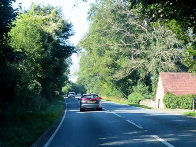
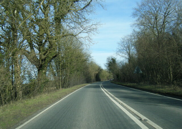
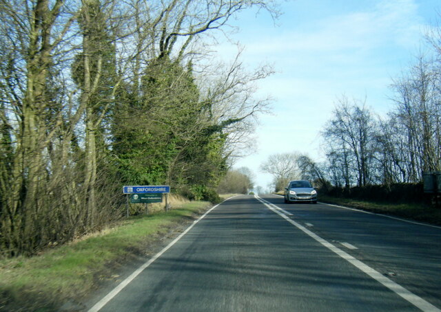
Barrington is a small village located in the county of Gloucestershire, in the southwest of England. Positioned in the picturesque region known as the Cotswolds, Barrington is surrounded by rolling hills, lush green countryside, and charming stone-built houses, which contribute to its idyllic rural setting.
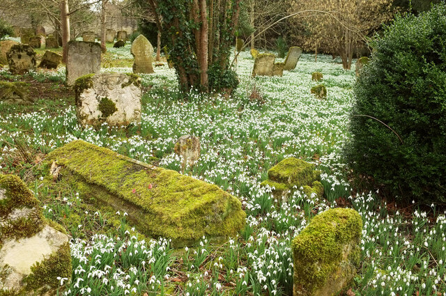
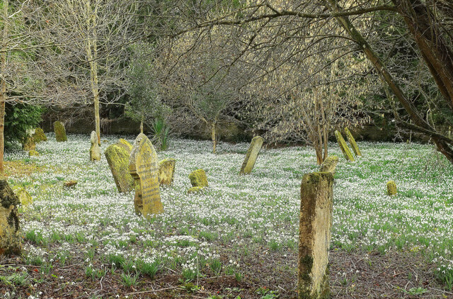
With a population of just over 300 residents, Barrington exudes a peaceful and close-knit community atmosphere. The village is centered around its historic church, St. Mary's, which dates back to the 12th century and stands as a prominent landmark. The church, along with the nearby manor house, adds to the village's rich historical significance.
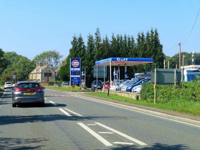
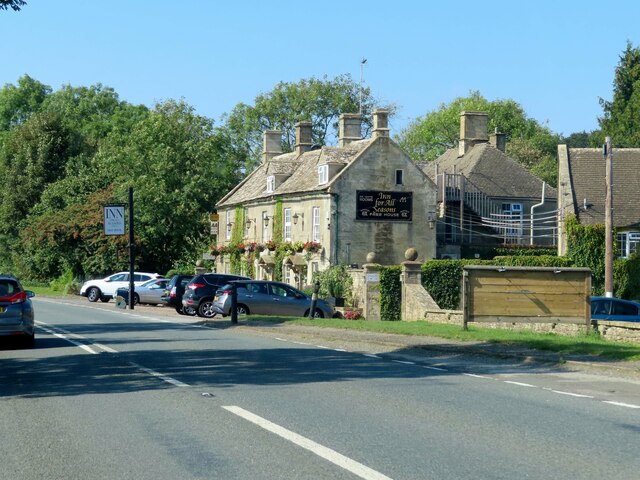
In terms of amenities, Barrington boasts a cozy village pub where locals and visitors can enjoy traditional English food and drinks. Additionally, the village has a primary school, ensuring educational opportunities for the younger members of the community.
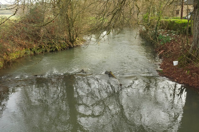
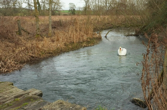
Nature lovers will find themselves at home in Barrington, as the village is surrounded by beautiful countryside perfect for leisurely walks or more challenging hikes. The nearby Barrington Court, a National Trust property, offers stunning gardens and a chance to explore the history of the area.
While Barrington may be small, its charm and tranquility make it an appealing destination for those seeking a peaceful retreat in the heart of the Cotswolds.
If you have any feedback on the listing, please let us know in the comments section below.
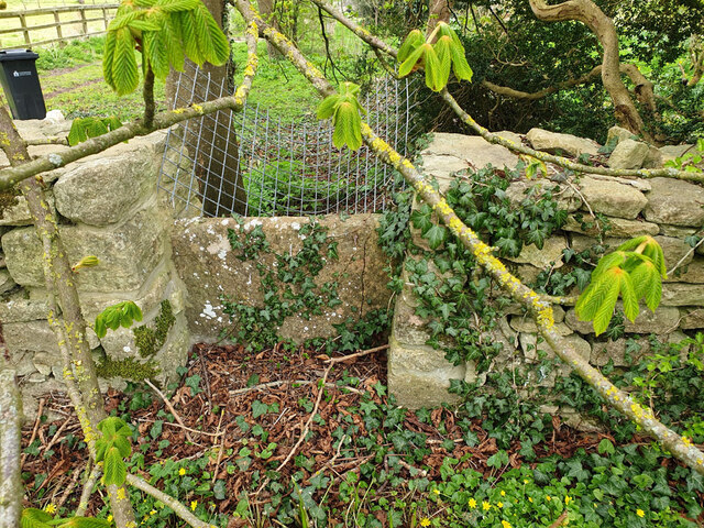
Barrington, Great Images
Images are sourced within 2km of 51.820848/-1.692096 or Grid Reference SP2113. Thanks to Geograph Open Source API. All images are credited.

Barrington, Great is located at Grid Ref: SP2113 (Lat: 51.820848, Lng: -1.692096)
Administrative County: Gloucestershire
District: Cotswold
Police Authority: Gloucestershire
What 3 Words
///permanent.talker.mint. Near Burford, Oxfordshire
Nearby Locations
Related Wikis
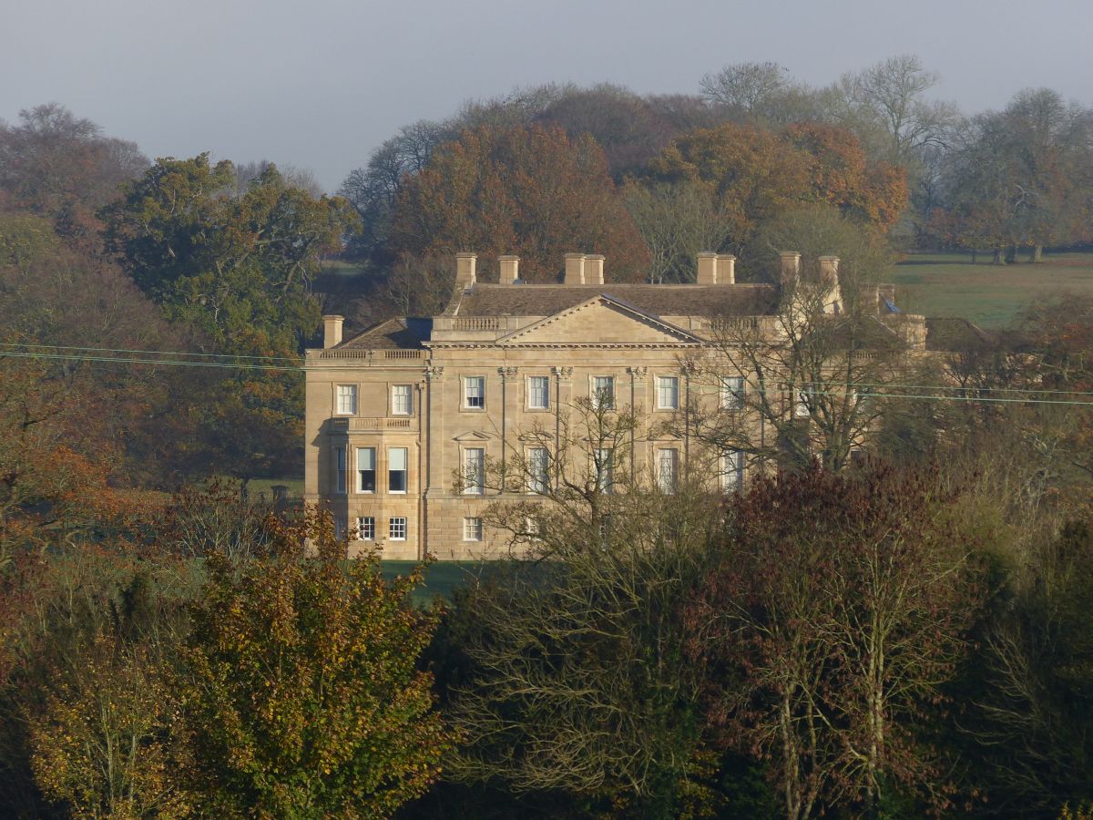
Barrington Park
Barrington Park is a Palladian style country house standing in an estate of the same name near the villages of Great Barrington and Little Barrington,...

Church of St Peter, Little Barrington
The Anglican Church of St Peter at Little Barrington in the civil parish of Barrington in the Cotswold District of Gloucestershire, England was built in...

Taynton, Oxfordshire
Taynton is a village and civil parish about 1+1⁄2 miles (2.4 km) northwest of Burford in West Oxfordshire. The village is on Coombe Brook, a tributary...

Church of St Peter, Windrush
The Anglican Church of St Peter at Windrush in the Cotswold District of Gloucestershire, England was built in the 12th century. It is a grade I listed...

Upton, West Oxfordshire
Upton is a hamlet on the River Windrush about 1 mile (1.6 km) west of Burford in Oxfordshire, England. Until 1954 Upton was part of the civil parish of...

Windrush, Gloucestershire
Windrush is a village and civil parish in Gloucestershire, England, approximately five miles southeast of Northleach. It lies in the Cotswolds on the River...

RAF Windrush
Royal Air Force Windrush, or more simply RAF Windrush, is a former Royal Air Force satellite station near Windrush, Gloucestershire, England. It was opened...
Sherborne, Gloucestershire
Sherborne is a village and civil parish almost 3.5 miles (5.6 km) east of Northleach in Gloucestershire. Sherborne is a linear village, extending more...
Nearby Amenities
Located within 500m of 51.820848,-1.692096Have you been to Barrington, Great?
Leave your review of Barrington, Great below (or comments, questions and feedback).