Barnston

Civil Parish in Essex Uttlesford

England

Barnston

Blackchapel, North End (1) This little building - with its priest's house attached at the west end - stands by itself, well apart from any other habitation.  The view here is from the east - my eye being attracted to the jumble of roof heights.

Pevsner (in the Essex volume of 'The Buildings of England') has this to say: 'The rare case of a surviving entirely timber-framed ecclesiastical building, and also the rare case of a medieval chapel with attached priest's house'.   - To which I would add that from outside it isn't obvious that this is a timber building, though the timber frame is clearly visible once you peep through the windows.

Inside there are traces of medieval wall paintings, but outside it is the 'Gothick' windows, neat plaster-work and cottagey barge-boards (under the eaves) that catch the eye.  The Gothick features date from the Gothic Revival of the late 18th and early 19th centuries - and it seems to me that features of that period set the tone.  It takes some effort to imagine the building as it may have looked 500 years ago.  I suspect the timber structure was then less well concealed.  You have to imagine away the present-day primness and think, say, of Thaxted: <a title="https://www.geograph.org.uk/photo/3546183" href="https://www.geograph.org.uk/photo/3546183">Link</a>
Blackchapel, North End (1) Credit: Stefan Czapski

Barnston is a civil parish located in the county of Essex, England. Situated approximately 2 miles northeast of Great Dunmow, Barnston covers an area of around 1.8 square miles. The village is predominantly rural, characterized by picturesque countryside landscapes and a close-knit community.

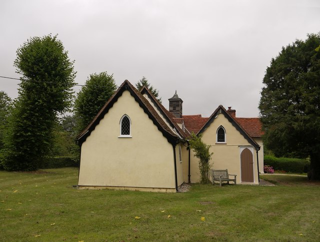
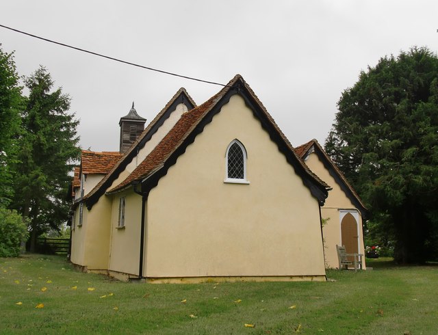
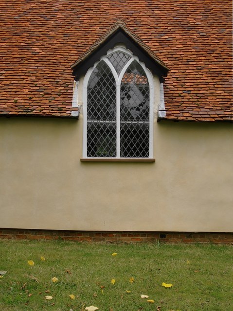
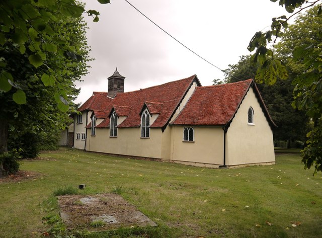
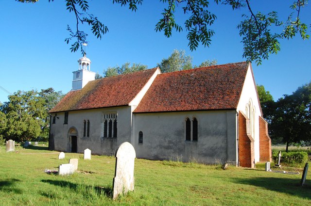
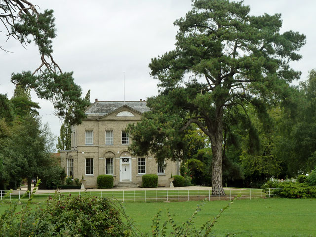
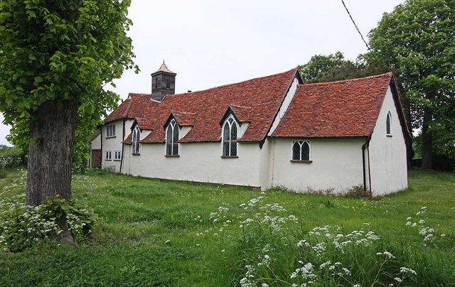
Historically, Barnston has roots dating back to the Saxon era, with evidence of settlements and agriculture in the area. The village is home to several historical buildings, the most notable being St. Andrew's Church, a Grade I listed building that dates back to the 12th century. The church is renowned for its beautiful architecture and hosts regular services and community events.

The village is well-served by amenities, including a primary school, a village hall, and a pub, providing a focal point for social gatherings. The local community is actively involved in organizing various events throughout the year, such as the Barnston Village Fete, which brings together residents and visitors for a day of festivities.

Barnston benefits from its proximity to the nearby town of Great Dunmow, where residents have access to a wider range of facilities, including shops, supermarkets, and additional educational institutions.

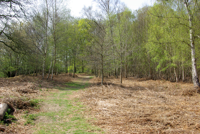
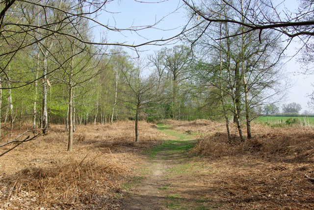
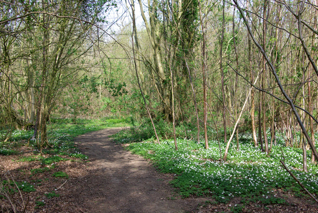
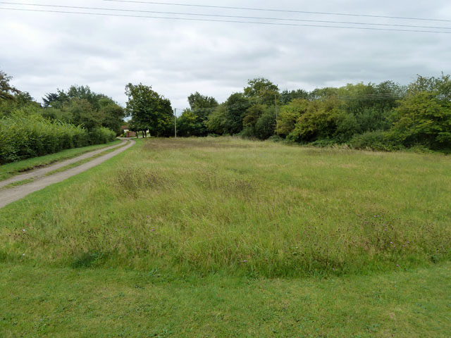
The village enjoys a peaceful and idyllic setting, surrounded by open fields and farmland, making it an attractive location for those seeking a rural lifestyle. With its rich history, strong sense of community, and picturesque surroundings, Barnston offers a tranquil and charming place to live or visit in the heart of Essex.

If you have any feedback on the listing, please let us know in the comments section below.
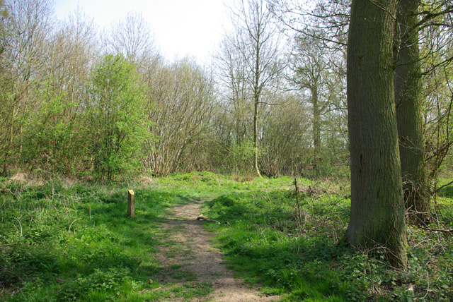
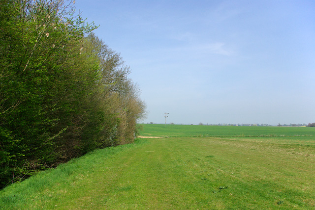
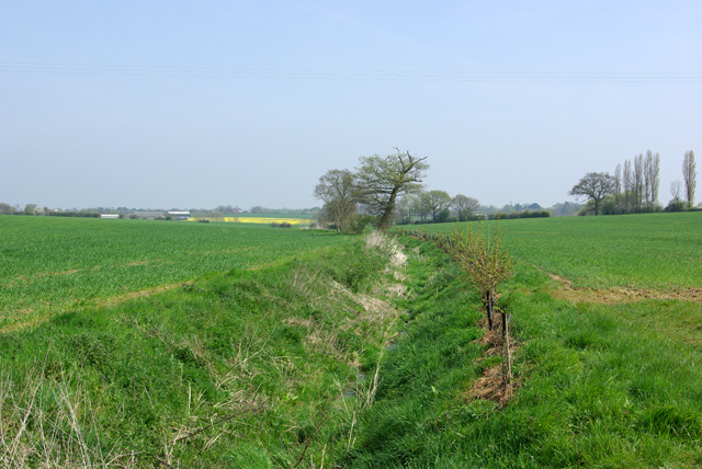
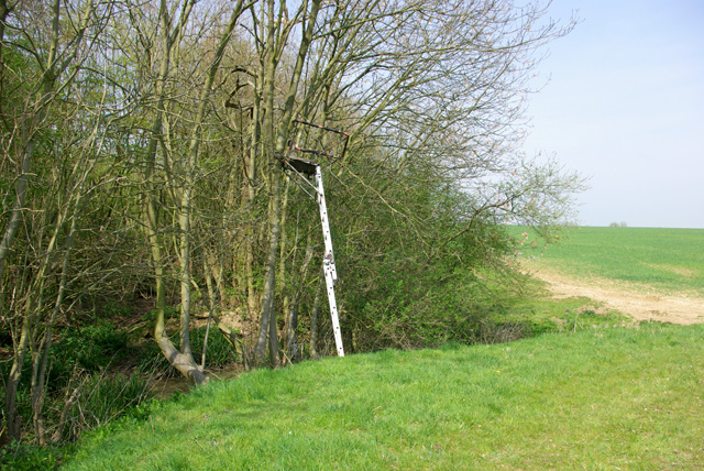
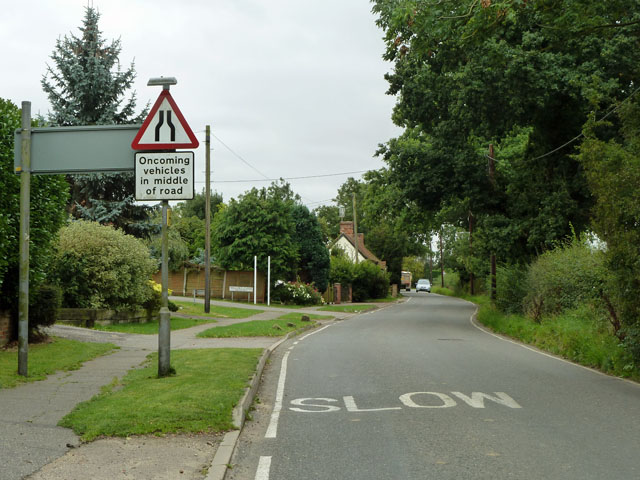
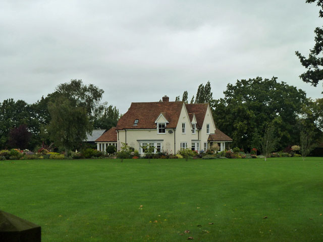
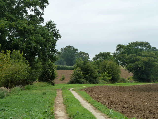
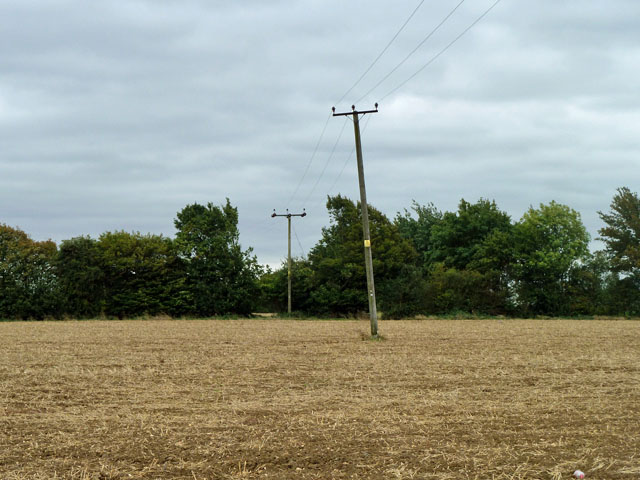
Barnston Images

Images are sourced within 2km of 51.846262/0.390258 or Grid Reference TL6419. Thanks to Geograph Open Source API. All images are credited.

Blackchapel, North End (1) This little building - with its priest's house attached at the west end - stands by itself, well apart from any other habitation.  The view here is from the east - my eye being attracted to the jumble of roof heights.

Pevsner (in the Essex volume of 'The Buildings of England') has this to say: 'The rare case of a surviving entirely timber-framed ecclesiastical building, and also the rare case of a medieval chapel with attached priest's house'.   - To which I would add that from outside it isn't obvious that this is a timber building, though the timber frame is clearly visible once you peep through the windows.

Inside there are traces of medieval wall paintings, but outside it is the 'Gothick' windows, neat plaster-work and cottagey barge-boards (under the eaves) that catch the eye.  The Gothick features date from the Gothic Revival of the late 18th and early 19th centuries - and it seems to me that features of that period set the tone.  It takes some effort to imagine the building as it may have looked 500 years ago.  I suspect the timber structure was then less well concealed.  You have to imagine away the present-day primness and think, say, of Thaxted: <a title="https://www.geograph.org.uk/photo/3546183" href="https://www.geograph.org.uk/photo/3546183">Link</a>
Blackchapel, North End (1)
This little building - with its priest's house attached at the west end - stands by itself, well apart from any other habitation. The view here is from the east - my eye being attracted to the jumble of roof heights. Pevsner (in the Essex volume of 'The Buildings of England') has this to say: 'The rare case of a surviving entirely timber-framed ecclesiastical building, and also the rare case of a medieval chapel with attached priest's house'. - To which I would add that from outside it isn't obvious that this is a timber building, though the timber frame is clearly visible once you peep through the windows. Inside there are traces of medieval wall paintings, but outside it is the 'Gothick' windows, neat plaster-work and cottagey barge-boards (under the eaves) that catch the eye. The Gothick features date from the Gothic Revival of the late 18th and early 19th centuries - and it seems to me that features of that period set the tone. It takes some effort to imagine the building as it may have looked 500 years ago. I suspect the timber structure was then less well concealed. You have to imagine away the present-day primness and think, say, of Thaxted: Link
Blackchapel, North End (2) View from the south-east.  The scale is cottagey, the structure timber-framed, and the building stands at a distance from any village or hamlet.  The nave and chancel are medieval in origin, whereas the north aisle (to the right in this picture) is said to be a 19th-century addition.
Blackchapel, North End (2)
View from the south-east. The scale is cottagey, the structure timber-framed, and the building stands at a distance from any village or hamlet. The nave and chancel are medieval in origin, whereas the north aisle (to the right in this picture) is said to be a 19th-century addition.
Blackchapel: Gothick window One of three such windows in the south wall of the nave, extending dormer-fashion above the eaves.
Blackchapel: Gothick window
One of three such windows in the south wall of the nave, extending dormer-fashion above the eaves.
Blackchapel: chapel and priest's house Of the three 'boxes', the nearest is the chapel's chancel, the longest is the nave, and the furthest is the priest's house.

In the Essex volume of 'The Buildings of England', Pevsner has this to say: 'The rare case of a surviving entirely timber-framed ecclesiastical building, and also the rare case of a medieval chapel with attached priest's house'. 

A structural detail that can be seen in this shot is that while the walls of the priest's house are upright, the chapel is narrower at the eaves than at ground level - the walls lean inwards (in technical terms they are 'battered').  The east wall, too, shows a batter.
Blackchapel: chapel and priest's house
Of the three 'boxes', the nearest is the chapel's chancel, the longest is the nave, and the furthest is the priest's house. In the Essex volume of 'The Buildings of England', Pevsner has this to say: 'The rare case of a surviving entirely timber-framed ecclesiastical building, and also the rare case of a medieval chapel with attached priest's house'. A structural detail that can be seen in this shot is that while the walls of the priest's house are upright, the chapel is narrower at the eaves than at ground level - the walls lean inwards (in technical terms they are 'battered'). The east wall, too, shows a batter.
Path, Barnston Lays Garnetts Wood, which includes the eastern woodland called Barnston Lays, is owned by Essex CC and has public access with marked paths.
Path, Barnston Lays
Garnetts Wood, which includes the eastern woodland called Barnston Lays, is owned by Essex CC and has public access with marked paths.
Eastern edge of Barnston Lays Garnetts Wood, which includes the eastern woodland called Barnston Lays, is owned by Essex CC and has public access with marked paths. This field margin is not one of them.
Eastern edge of Barnston Lays
Garnetts Wood, which includes the eastern woodland called Barnston Lays, is owned by Essex CC and has public access with marked paths. This field margin is not one of them.
Ditch east of Barnston Lays This drains into Barnston Brook, a tributary of the River Chelmer.
Ditch east of Barnston Lays
This drains into Barnston Brook, a tributary of the River Chelmer.
Shooting platform, Barnston Lays There were certainly a lot of Fallow Deer crashing around in the wood.
Shooting platform, Barnston Lays
There were certainly a lot of Fallow Deer crashing around in the wood.
Path, Barnston Lays In the southern part of the wood, which has a more acidic flora than the rest, although the geological map shows no distinction, with chalky boulder clay supposedly overlying older deposits.
Path, Barnston Lays
In the southern part of the wood, which has a more acidic flora than the rest, although the geological map shows no distinction, with chalky boulder clay supposedly overlying older deposits.
Path in Garnetts Wood In the southern part of the wood, which has a more acidic flora than the rest.
Path in Garnetts Wood
In the southern part of the wood, which has a more acidic flora than the rest.
St Andrew's, Parish Church Barnston
High Easter Road, Barnston A country road with quite a lot of modern residential development feeding into it from the left.
High Easter Road, Barnston
A country road with quite a lot of modern residential development feeding into it from the left.
Medhurst A house of no great age, appearing on maps about 1950.
Medhurst
A house of no great age, appearing on maps about 1950.
Private track This is gated off from the public lane and heads towards a pond which might be used for fishing.
Private track
This is gated off from the public lane and heads towards a pond which might be used for fishing.
Power lines towards Lawn Hall The wooden poles of this type of low voltage line often assume quite skew angles, which is very inconvenient when trying to level a photograph!
Power lines towards Lawn Hall
The wooden poles of this type of low voltage line often assume quite skew angles, which is very inconvenient when trying to level a photograph!
Onslow Green The green is managed as a nature reserve. Onslow Green was known as Hounslow Green not so long ago.
Onslow Green
The green is managed as a nature reserve. Onslow Green was known as Hounslow Green not so long ago.
Barnston Lodge Clearly not the gatehouse sort of lodge, this Georgian country house is now used as a wedding venue.
Barnston Lodge
Clearly not the gatehouse sort of lodge, this Georgian country house is now used as a wedding venue.
Show me another place!

Barnston is located at Grid Ref: TL6419 (Lat: 51.846262, Lng: 0.390258)

Administrative County: Essex

District: Uttlesford

Police Authority: Essex

What 3 Words

///deny.singled.upsetting. Near Little Dunmow, Essex

Nearby Locations

Barnston

Related Wikis

Have you been to Barnston?

Leave your review of Barnston below (or comments, questions and feedback).