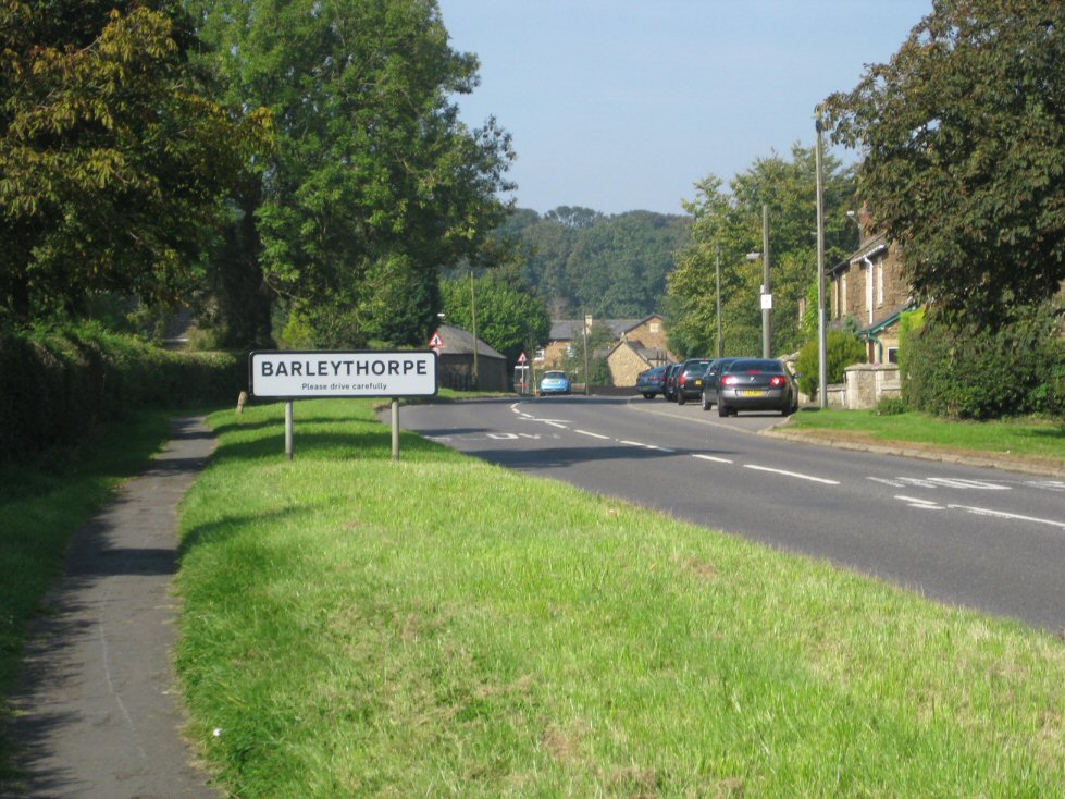
Barleythorpe
Civil Parish in Rutland
England
Barleythorpe

Barleythorpe is a civil parish located in the county of Rutland, in the East Midlands region of England. It is situated approximately 1.5 miles north of the town of Oakham, which is the county town of Rutland. The parish covers an area of around 3.5 square miles and has a population of approximately 400 residents.
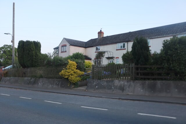
Barleythorpe is predominantly a residential area, with a mix of housing types including detached houses, cottages, and bungalows. The village is known for its picturesque countryside views, with rolling hills and open fields surrounding the area. The village itself is made up of a few small roads and lanes, with a community hall and a local pub as the main social hubs.
The parish is well-connected to the surrounding areas, with good transport links to Oakham and other nearby towns and villages. The A606 road runs through the parish, providing easy access to the wider road network. Additionally, Oakham railway station is located nearby, offering regular train services to cities such as Birmingham and London.
Barleythorpe is surrounded by beautiful countryside, making it an attractive location for outdoor enthusiasts. The village is close to Rutland Water, a large reservoir known for its nature reserves and water sports activities. The area also offers opportunities for walking, cycling, and horse riding, with numerous footpaths and bridleways in the vicinity.
Overall, Barleythorpe is a peaceful and scenic village, providing residents with a rural lifestyle while still being within easy reach of amenities and transport links.
If you have any feedback on the listing, please let us know in the comments section below.
Barleythorpe Images
Images are sourced within 2km of 52.67788/-0.753162 or Grid Reference SK8409. Thanks to Geograph Open Source API. All images are credited.


Barleythorpe is located at Grid Ref: SK8409 (Lat: 52.67788, Lng: -0.753162)
Unitary Authority: Rutland
Police Authority: Leicestershire
What 3 Words
///daunted.engage.farmed. Near Langham, Rutland
Nearby Locations
Related Wikis
Barleythorpe
Barleythorpe is a village and civil parish in the county of Rutland in the East Midlands of England. It is located about a mile (1.6 km) north-west of...

Rutland County College
Rutland County College was a post-16 (or sixth-form) college, based mainly in Oakham, Rutland, England. In September 2012 it opened on a new site in Barleythorpe...
Harington School
Harington School is a free school sixth form located in Oakham in the English county of Rutland. The school is named after John Harington, 1st Baron Harington...
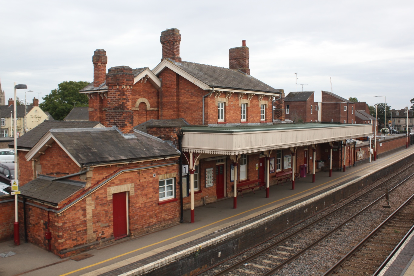
Oakham railway station
Oakham railway station serves the county town of Oakham in Rutland, England. The station is situated almost halfway between Leicester – 27 miles (43 km...
Nearby Amenities
Located within 500m of 52.67788,-0.753162Have you been to Barleythorpe?
Leave your review of Barleythorpe below (or comments, questions and feedback).