Barkway

Civil Parish in Hertfordshire North Hertfordshire

England

Barkway

Barkway Freshly pollarded trees with church in the village of Barkway in the background.
Barkway Credit: Paul Dixon

Barkway is a civil parish located in the county of Hertfordshire, England. It is situated approximately 40 miles north of London and is part of the North Hertfordshire district. The parish covers an area of around 1,450 acres and has a population of around 600 residents.

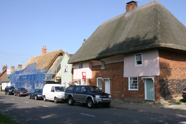
The village of Barkway is known for its picturesque setting and historic charm. It is surrounded by beautiful countryside, with rolling hills and scenic landscapes, making it a popular destination for outdoor enthusiasts and nature lovers. The area is dotted with traditional English cottages and historic buildings, giving it a quaint and timeless feel.

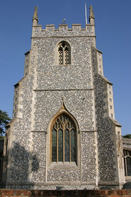
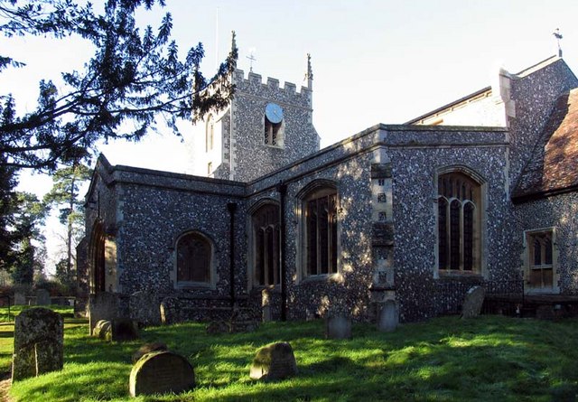
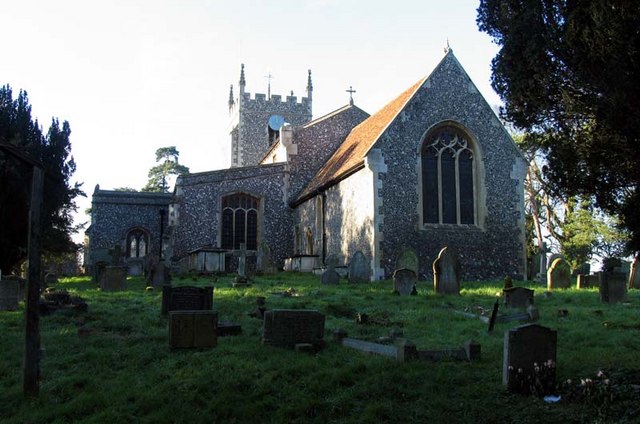
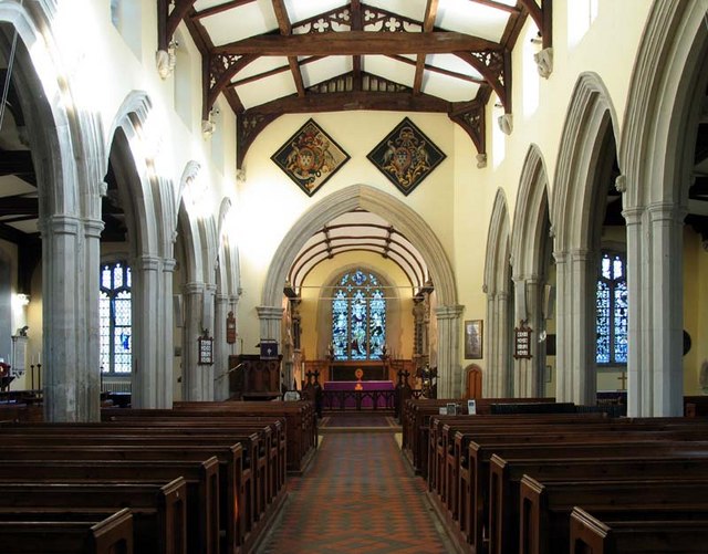
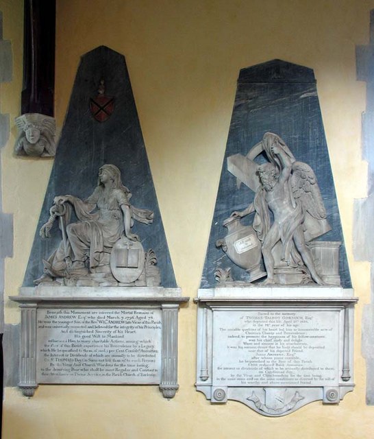
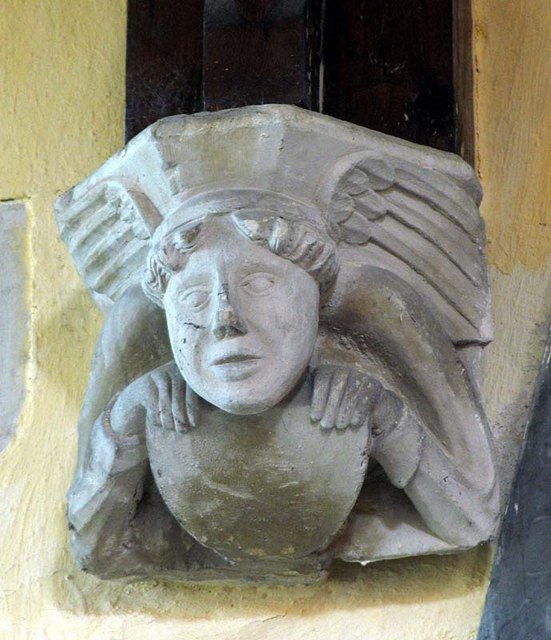
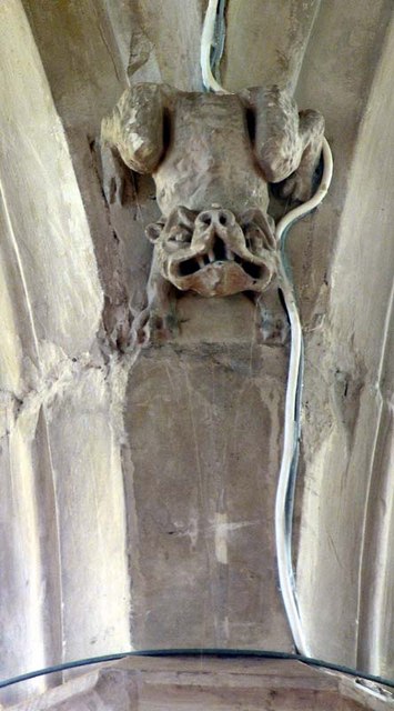
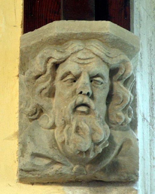
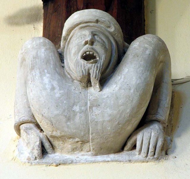
Barkway has a rich history that dates back to medieval times. The village was mentioned in the Domesday Book of 1086 and has been a settlement since ancient times. The parish church, St. Mary Magdalene, is a prominent landmark in the area and dates back to the 12th century. It is known for its stunning architecture and unique features.

In terms of amenities, Barkway offers a range of facilities for its residents. These include a primary school, a village hall, a pub, and a post office. The village also has a strong community spirit, with various events and activities held throughout the year, such as the annual Barkway Market and the Barkway Village Show.

Overall, Barkway is a charming and idyllic village with a rich history and a close-knit community. It offers a peaceful and picturesque setting, making it an attractive place to live or visit.

If you have any feedback on the listing, please let us know in the comments section below.
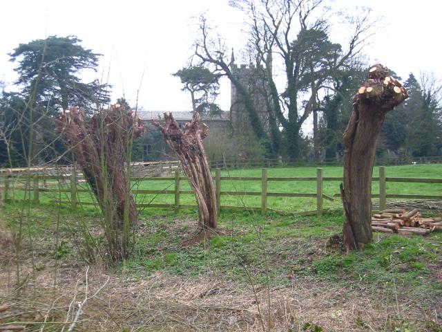
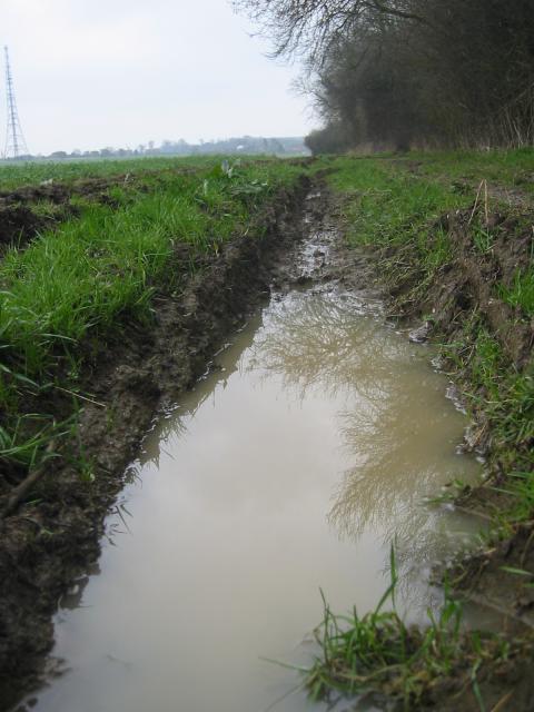
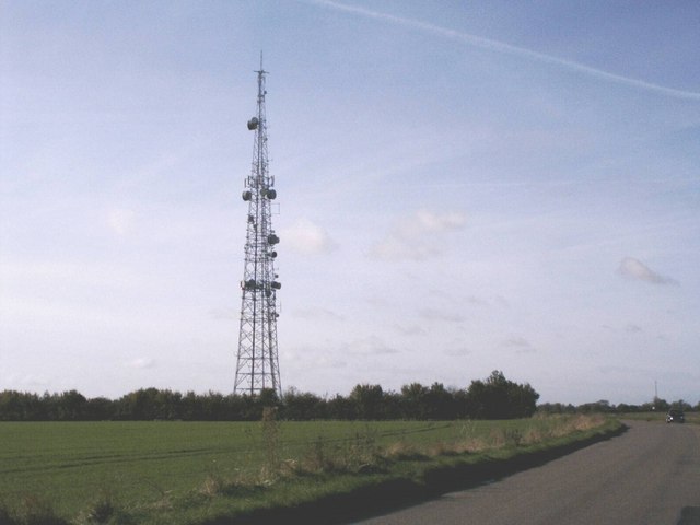
Barkway Images

Images are sourced within 2km of 52.010383/0.011532 or Grid Reference TL3836. Thanks to Geograph Open Source API. All images are credited.

Barkway Freshly pollarded trees with church in the village of Barkway in the background.
Barkway
Freshly pollarded trees with church in the village of Barkway in the background.
Rokey Wood This is the edge of Rokey Wood looking towards the village of Barkway. The mud and puddles are very typical of this area, trust me on this.
Rokey Wood
This is the edge of Rokey Wood looking towards the village of Barkway. The mud and puddles are very typical of this area, trust me on this.
Thatch Old and New Renewing the thatch on a cottage in Barkway, next doors still seems ok!
Thatch Old and New
Renewing the thatch on a cottage in Barkway, next doors still seems ok!
MOD Mast The M.O.D. mast at Barkway, don't know what it does but many signs saying Keep Out.
MOD Mast
The M.O.D. mast at Barkway, don't know what it does but many signs saying Keep Out.
St. Mary Magdalene's - Barkway The Church of St. Mary Magdalene's in Barkway.
St. Mary Magdalene's - Barkway
The Church of St. Mary Magdalene's in Barkway.
Bogmoor Road Bogmoor Road leaves the B1368 Cambridge Road at Barkway Hill
Bogmoor Road
Bogmoor Road leaves the B1368 Cambridge Road at Barkway Hill
Barley fields are forever These fields are adjacent to the village of Barley!
Barley fields are forever
These fields are adjacent to the village of Barley!
Cambridge Road south of Barley
Communications tower near Reed Communications tower on the ridge between Barkway and reed - believed to be operated by NTL.
Communications tower near Reed
Communications tower on the ridge between Barkway and reed - believed to be operated by NTL.
St Mary Magdalene, Barkway, Hertfordshire
St Mary Magdalene, Barkway, Hertfordshire - East end
St Mary Magdalene, Barkway, Hertfordshire - Wall monuments
St Mary Magdalene, Barkway, Hertfordshire - Corbel
St Mary Magdalene, Barkway, Hertfordshire - West end
Show me another place!

Barkway is located at Grid Ref: TL3836 (Lat: 52.010383, Lng: 0.011532)

Administrative County: Hertfordshire

District: North Hertfordshire

Police Authority: Hertfordshire

What 3 Words

///celebrate.preoccupied.will. Near Royston, Hertfordshire

Nearby Locations

Barkway

Related Wikis

Barkway Chalk Pit

Barkway Chalk Pit is a small (0.3 hectare) nature reserve in Barkway in North Hertfordshire. It was managed by the Herts and Middlesex Wildlife Trust...

RAF Barkway

Royal Air Force Barkway or more simply RAF Barkway was one of the smallest Royal Air Force stations in the United Kingdom. It was a Communications Station...

River Quin

The River Quin is a small watercourse which rises near Barkway in north east Hertfordshire, England. The river is fed by a number of sources including...

Barkway

Barkway is a long-established village and civil parish in the North Hertfordshire district of Hertfordshire, England, about five miles south-east of...

Nearby Amenities

Located within 500m of 52.010383,0.011532
Newsells Manor
Local Ref: NR
Naptan AtcoCode: 210021104000
Naptan Bearing: N
Naptan BusStopType: CUS
Naptan CommonName: Newsells Manor
Naptan Crossing: Newsells Manor
Naptan Indicator: nr
Naptan Landmark: Newsells Manor
Naptan NaptanCode: hrtgjptg
Naptan ShortCommonName: NA
Naptan Street: Royston Road
Naptan Verified: no
Source: naptan_import
Lat/Long: 52.0136576/0.0120266
Height: 106
Man Made: tower
Operator: Oxbury Property
Tower Type: communication
Lat/Long: 52.0085169/0.0105677
Power: pole
Lat/Long: 52.0087881/0.0081324
Power: pole
Lat/Long: 52.008557/0.0056849
Power: pole
Lat/Long: 52.0086717/0.006963
The data included in this document is from www.openstreetmap.org. The data is made available under ODbL.

Have you been to Barkway?

Leave your review of Barkway below (or comments, questions and feedback).