Barkston Ash
Civil Parish in Yorkshire Selby
England
Barkston Ash
Barkston Ash is a civil parish located in the county of Yorkshire, England. It is situated approximately 10 miles east of the city of Leeds and covers an area of around 4 square miles. The parish is part of the Selby district and is surrounded by beautiful countryside and farmland.
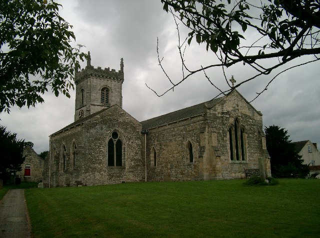
The village of Barkston Ash itself is a small and picturesque settlement with a population of around 500 residents. It is known for its charming historic buildings, including the St. Mary Magdalene Church, which dates back to the 12th century. The church is a prominent feature of the village and attracts visitors with its stunning architecture and serene atmosphere.
Agriculture plays a significant role in the economy of Barkston Ash, with many local residents involved in farming activities. The surrounding farmland is predominantly used for the cultivation of crops such as wheat, barley, and rapeseed.
In terms of amenities, the village has a primary school, a village hall, and a local pub, providing essential services and a sense of community for its residents. Additionally, there are several footpaths and bridleways in the area, making it an attractive destination for walkers and nature enthusiasts.
Overall, Barkston Ash is a tranquil and close-knit community with a rich historical heritage and a strong connection to the surrounding countryside.
If you have any feedback on the listing, please let us know in the comments section below.
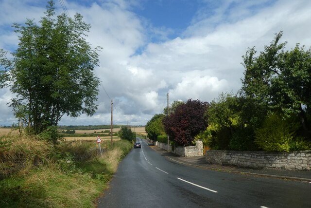
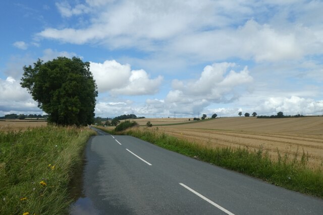
Barkston Ash Images
Images are sourced within 2km of 53.814274/-1.261962 or Grid Reference SE4835. Thanks to Geograph Open Source API. All images are credited.


Barkston Ash is located at Grid Ref: SE4835 (Lat: 53.814274, Lng: -1.261962)
Division: West Riding
Administrative County: North Yorkshire
District: Selby
Police Authority: North Yorkshire
What 3 Words
///clerics.dispensed.swells. Near Sherburn in Elmet, North Yorkshire
Nearby Locations
Related Wikis

Barkston Ash Wapentake
Barkston Ash was a wapentake of the West Riding of Yorkshire, named after the meeting-place at the village of Barkston. It included the parishes of Birkin...

Barkston Ash
Barkston Ash is a small village and civil parish close to Selby in North Yorkshire, England. It was formerly known as Barkston in the West Riding of Yorkshire...
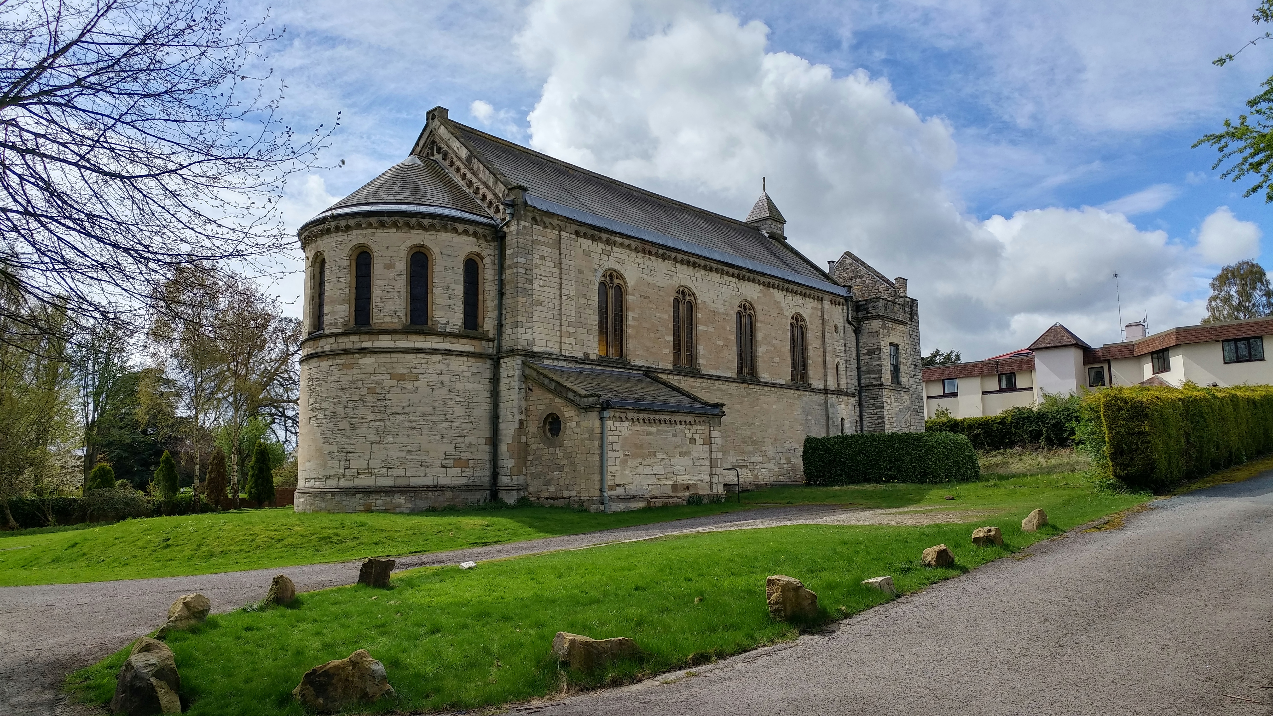
Church of the Immaculate Conception, Scarthingwell
The Church of the Immaculate Conception is a historic church in Scarthingwell, in North Yorkshire, in England. The church was constructed in 1854 to a...
Saxton, North Yorkshire
Saxton is a village in North Yorkshire, England, 14 miles (23 km) south-west of York and 12 miles (19 km) east of Leeds. The resident population is about...
Related Videos

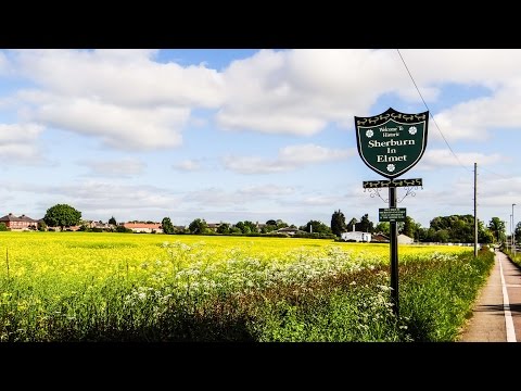
Sherburn in Elmet - North Yorkshire
Sherburn in Elmet small village in North Yorkshire. Quiet place to live, population about 7000 people, 5 pubs, 6 stores, 2 schools, ...

Sunday session in the village
sherburn-in-elmet #swan.

Swopping my BMW GSA 1250 for a helicopter!
Join me as I travel to Sherburn in Elmet to go flying in a helicopter. A former work colleague had a helicopter flying lesson gifted to ...
Nearby Amenities
Located within 500m of 53.814274,-1.261962Have you been to Barkston Ash?
Leave your review of Barkston Ash below (or comments, questions and feedback).