Banbury
Civil Parish in Oxfordshire Cherwell
England
Banbury

Banbury is a historic market town located in Oxfordshire, England, and is also a civil parish. Situated on the River Cherwell, it has a population of approximately 46,853 people as of the 2011 census. The town is known for its bustling shopping streets, vibrant markets, and picturesque countryside.
Banbury has a rich history that dates back to the Iron Age, and evidence of Roman settlement has also been found in the area. In medieval times, Banbury became an important trading center due to its strategic location on the London to Birmingham route. The town's prosperity grew further with the arrival of the canals and railways in the 19th century.
Today, Banbury is a thriving town with a mix of traditional and modern attractions. The town center is home to a variety of independent shops, high-street retailers, and a bustling market that takes place three times a week. The historic Banbury Cross, immortalized in the nursery rhyme, is a popular tourist attraction.
The town also boasts several cultural and leisure facilities, including the Banbury Museum, which showcases the town's history, and the Castle Quay Shopping Centre, which offers a range of shopping and dining options. The annual Banbury Folk Festival attracts visitors from far and wide with its live music performances and traditional folk dances.
Surrounded by picturesque Oxfordshire countryside, Banbury offers numerous opportunities for outdoor activities such as walking, cycling, and boating along the nearby Oxford Canal. Additionally, the town has excellent transport links, with easy access to the M40 motorway and regular train services to London and Birmingham.
Overall, Banbury is a charming town that seamlessly blends its rich history with modern amenities, making it an attractive destination for residents and visitors alike.
If you have any feedback on the listing, please let us know in the comments section below.
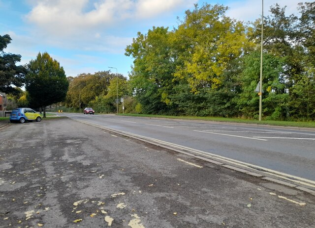
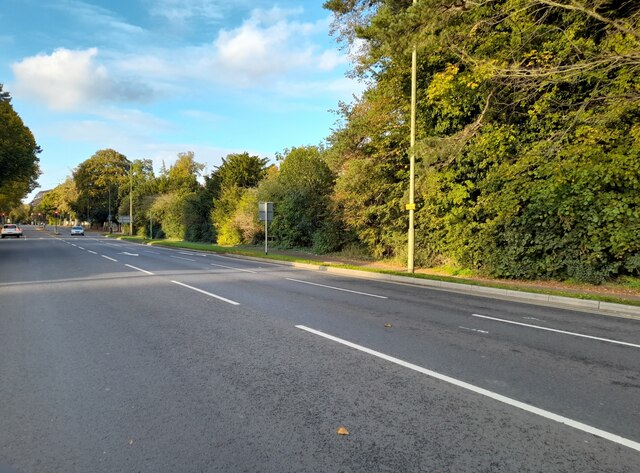
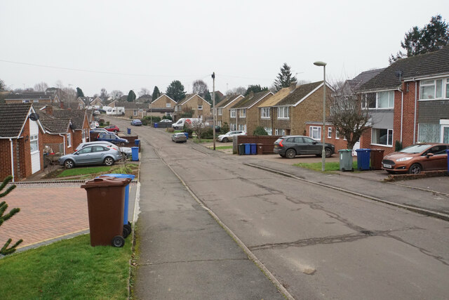
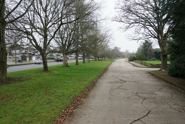
Banbury Images
Images are sourced within 2km of 52.059922/-1.338582 or Grid Reference SP4540. Thanks to Geograph Open Source API. All images are credited.


Banbury is located at Grid Ref: SP4540 (Lat: 52.059922, Lng: -1.338582)
Administrative County: Oxfordshire
District: Cherwell
Police Authority: Thames Valley
What 3 Words
///posed.crass.ideal. Near Banbury, Oxfordshire
Related Wikis

Banbury
Banbury is a historic market town on the River Cherwell in Oxfordshire, South East England. It had a population of 54,335 at the 2021 Census.Banbury is...

St John the Evangelist Church, Banbury
St John the Evangelist Church is a Roman Catholic parish church in Banbury, Oxfordshire, England. It was built from 1835 to 1838 in the Gothic Revival...

Cornhill Corn Exchange, Banbury
The Cornhill Corn Exchange was a commercial building in the Market Place, Banbury, Oxfordshire, England. The façade of the building, which has been preserved...
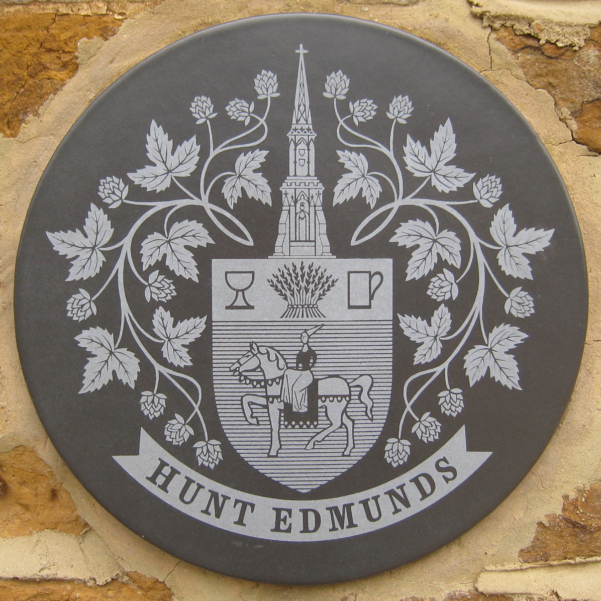
Hunt Edmunds
Hunt Edmunds was a brewery in Banbury, Oxfordshire, England. == History == The brewery was founded by John Hunt in 1840, but it was Thomas Hunt who went...
Banbury Town Hall
Banbury Town Hall is a municipal facility in the High Street in Banbury, Oxfordshire, England. The town hall, which was the headquarters of Banbury Borough...

Banbury Castle
Banbury Castle was a medieval castle that stood near the centre of the town of Banbury, Oxfordshire. Historian John Kenyon notes that the castle is "remarkable...
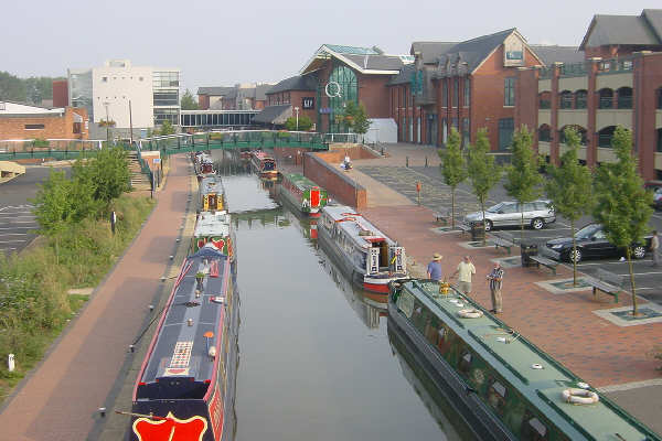
Castle Quay Shopping Centre
Castle Quay Shopping Centre is a shopping centre in the town of Banbury, North Oxfordshire, England. The shopping centre is located in the centre of Banbury...
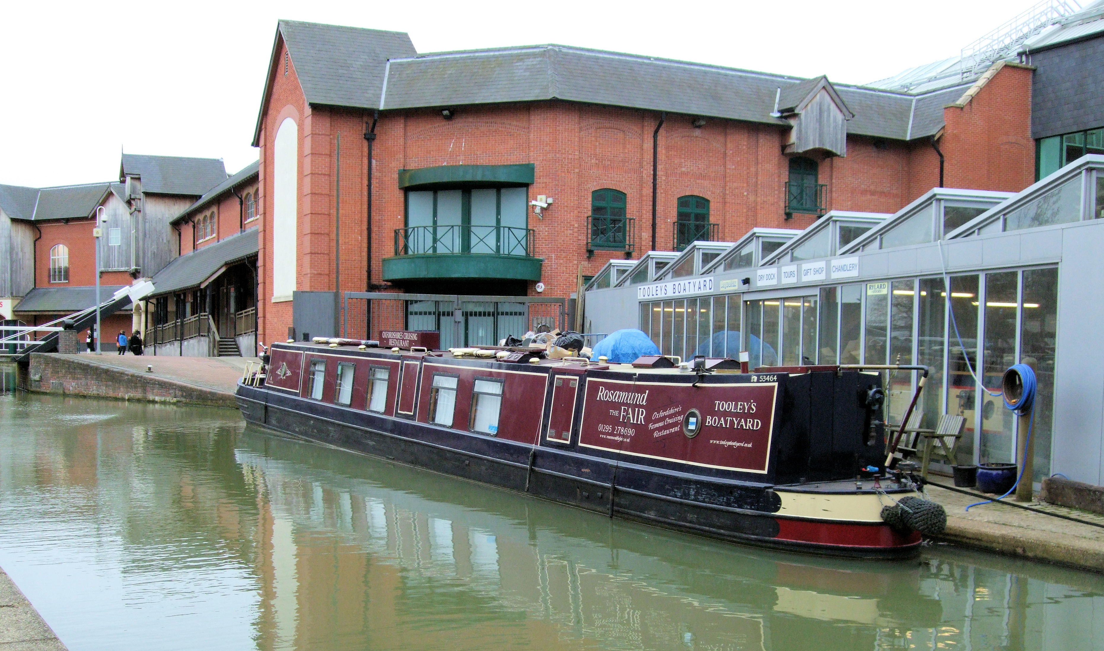
Tooley's Boatyard
Tooley's Boatyard is a dockyard on the Oxford Canal in the centre of the town of Banbury, Oxfordshire, England. The opening of the Oxford Canal from Hawkesbury...
Nearby Amenities
Located within 500m of 52.059922,-1.338582Have you been to Banbury?
Leave your review of Banbury below (or comments, questions and feedback).