Badlesmere
Civil Parish in Kent Swale
England
Badlesmere
Badlesmere is a small civil parish located in the county of Kent, in southeastern England. Situated approximately 6 miles southwest of the city of Canterbury, Badlesmere covers an area of about 3 square miles and is home to a population of around 200 residents.
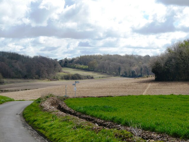
The parish is predominantly rural, characterized by its picturesque countryside and rolling hills. It is surrounded by several other small villages and hamlets, including Leaveland, Stalisfield Green, and Throwley Forstal. The landscape is mainly agricultural, with fields of crops and grazing land for livestock.
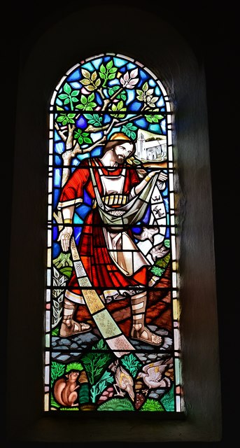
Badlesmere is perhaps best known for its historic church, St. Leonard's Church, which dates back to the 13th century. The church features a prominent tower and several notable architectural elements, including stained glass windows and intricate stone carvings.
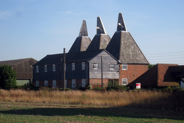
The village itself is small and quaint, with a scattering of houses and cottages along its narrow lanes. There are no shops or amenities in Badlesmere, so residents typically rely on nearby towns for their everyday needs. However, the community benefits from a strong sense of community spirit, with regular social events and gatherings organized by local groups.
The surrounding countryside offers plenty of opportunities for outdoor activities, including walking, cycling, and horseback riding. The area is also home to several nature reserves and wildlife habitats, providing a haven for a diverse range of plant and animal species.
Overall, Badlesmere offers a peaceful and idyllic setting for those seeking a rural lifestyle in the beautiful county of Kent.
If you have any feedback on the listing, please let us know in the comments section below.
Badlesmere Images
Images are sourced within 2km of 51.253001/0.88955 or Grid Reference TR0154. Thanks to Geograph Open Source API. All images are credited.


Badlesmere is located at Grid Ref: TR0154 (Lat: 51.253001, Lng: 0.88955)
Administrative County: Kent
District: Swale
Police Authority: Kent
What 3 Words
///games.failed.blatantly. Near Faversham, Kent
Nearby Locations
Related Wikis

Badlesmere, Kent
Badlesmere is a village and civil parish in the Swale district of Kent, England, about five miles south of Faversham and eight miles north of Ashford on...

Leaveland
Leaveland is a hamlet and civil parish located in the Swale borough of Kent, South East England. In terms of topography, it is described as a "village...
Sheldwich
Sheldwich is a village and civil parish in the far south of the Borough of Swale in Kent, England. == Geography == Sheldwich is a rural parish situated...

Perrywood
Perrywood is a village and a wood near the village of Selling, in the Swale District, in the English county of Kent. It is south of the town of Faversham...
RAF Throwley
Royal Air Force Throwley or more simply RAF Throwley is a former Royal Air Force (RAF) installation located 1.2 miles (1.9 km) south of Throwley, Kent...
Throwley Priory
Throwley Priory was an English priory south of Faversham in Kent. == History == At the end of the civil wars of 1139-53, King Stephen's chief lieutenant...
Throwley
Throwley is an English village south of Faversham in the Borough of Swale in Kent.The name is recorded in the Doomsday Book as Trevelai, which corresponds...
Selling, Kent
Selling is a village and civil parish southeast of Faversham and west of Canterbury in Kent, England. == Geography == The village is hilly, sloping down...
Have you been to Badlesmere?
Leave your review of Badlesmere below (or comments, questions and feedback).