Aythorpe Roding
Civil Parish in Essex Uttlesford
England
Aythorpe Roding
Aythorpe Roding is a civil parish located in the county of Essex, England. Situated in the Uttlesford district, it lies approximately 40 miles northeast of London. The parish covers an area of around 8.5 square kilometers and is home to a small population of around 250 residents.
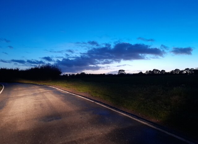
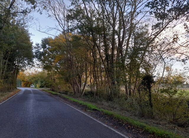
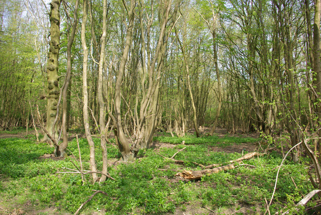
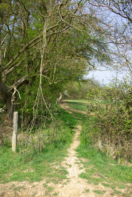
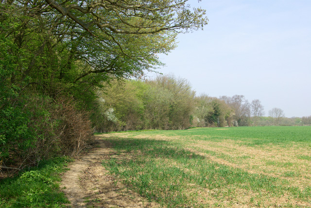
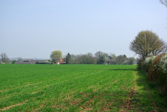
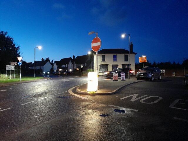
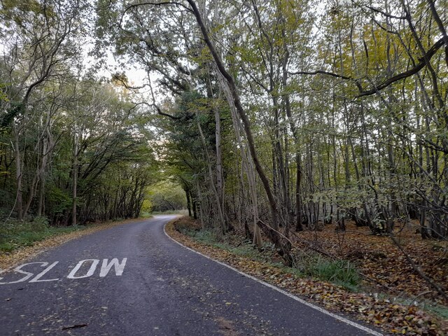
The village of Aythorpe Roding is characterized by its peaceful and rural setting, surrounded by open fields and farmland. The landscape is dotted with charming cottages and traditional buildings, giving the area a picturesque and idyllic atmosphere.
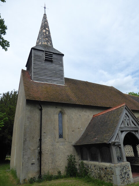
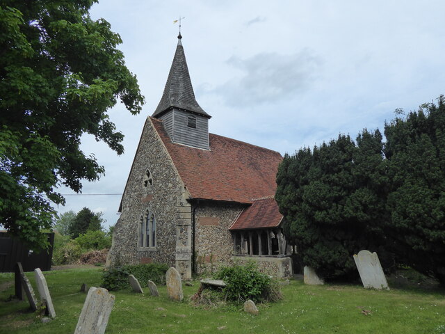
The heart of the village is centered around the St. Mary's Church, a historic building dating back to the 13th century. The church is known for its beautiful architecture and intricate stained glass windows, making it a significant landmark within the parish.
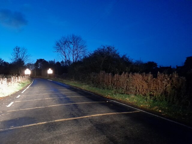
Aythorpe Roding is well-connected to nearby towns and cities, with easy access to major roadways such as the A1060 and the B184. The closest train station is located in the neighboring village of Great Dunmow, providing convenient transportation links for residents.
The parish boasts a strong sense of community, with various local events and activities taking place throughout the year. Residents can enjoy the peaceful surroundings by exploring the nearby walking trails or relaxing in the village's green spaces.
Overall, Aythorpe Roding offers a tranquil and rural lifestyle, making it an ideal location for those seeking a peaceful retreat in the beautiful Essex countryside.
If you have any feedback on the listing, please let us know in the comments section below.
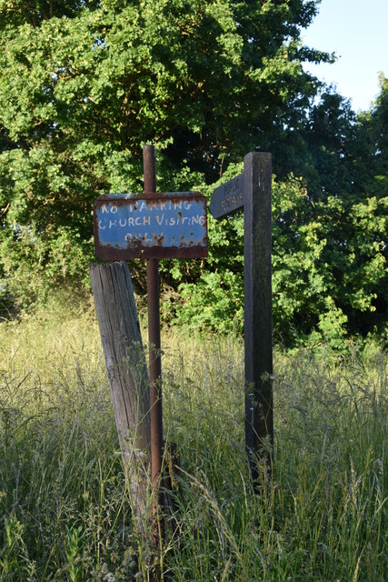
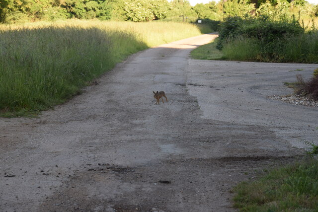
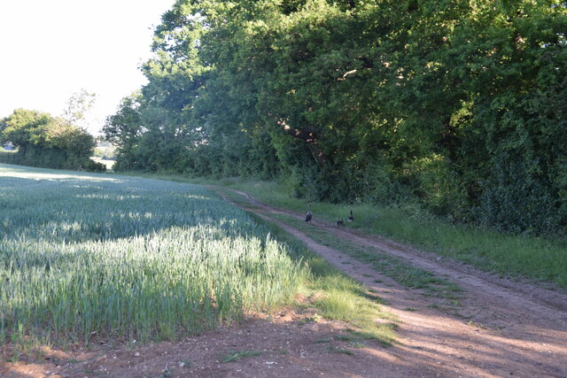
Aythorpe Roding Images
Images are sourced within 2km of 51.807743/0.315349 or Grid Reference TL5914. Thanks to Geograph Open Source API. All images are credited.

Aythorpe Roding is located at Grid Ref: TL5914 (Lat: 51.807743, Lng: 0.315349)
Administrative County: Essex
District: Uttlesford
Police Authority: Essex
What 3 Words
///disposing.topped.grow. Near Hatfield Heath, Essex
Nearby Locations
Related Wikis

Aythorpe Roding Windmill
Aythorpe Roding Windmill is a Grade II* listed Post mill at Aythorpe Roding, Essex, England which has been restored to working order. == History == Aythorpe...
Aythorpe Roding
Aythorpe Roding is a village and civil parish in the Uttlesford district of Essex, England. The village is included in the eight hamlets and villages called...

Leaden Roding
Leaden Roding is a village and civil parish in the Uttlesford district of Essex, England. The village is included in the eight hamlets and villages called...

The Rodings
The Rodings are a group of eight villages in the upper part of the River Roding and the west of Essex, England, the largest group in the country to bear...
Nearby Amenities
Located within 500m of 51.807743,0.315349Have you been to Aythorpe Roding?
Leave your review of Aythorpe Roding below (or comments, questions and feedback).