Roundbush Green
Settlement in Essex Uttlesford
England
Roundbush Green
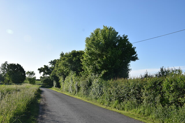
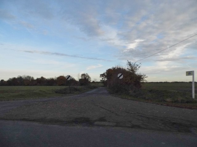
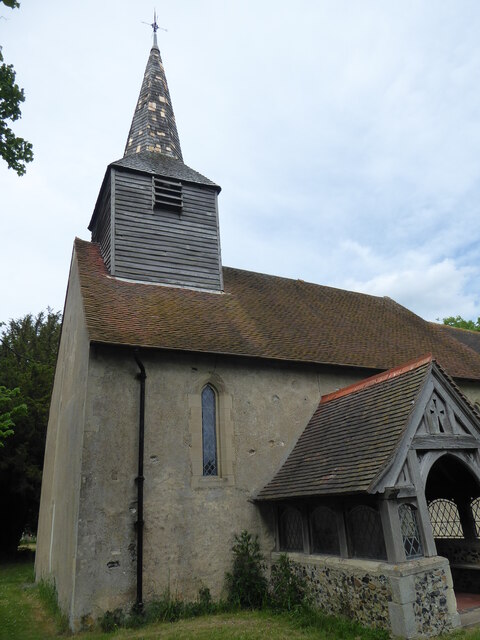
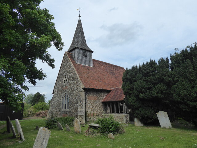
Roundbush Green is a picturesque village located in the county of Essex, in the southeastern part of England. Situated just a few miles northeast of the town of Harlow, Roundbush Green is known for its serene and idyllic atmosphere, making it a popular destination for those seeking a peaceful retreat from the hustle and bustle of city life.
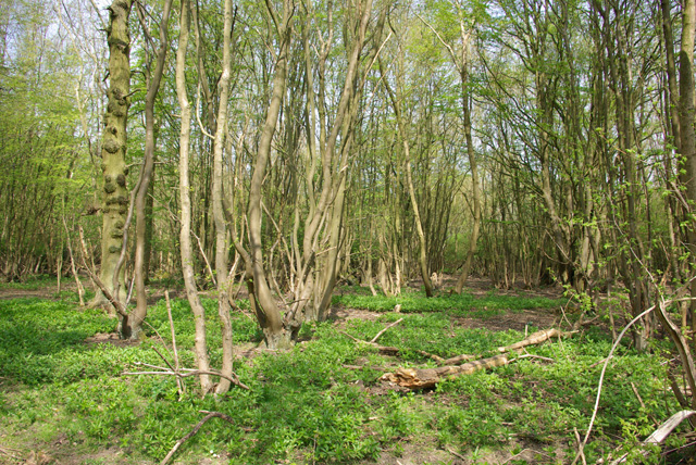
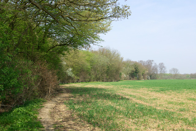
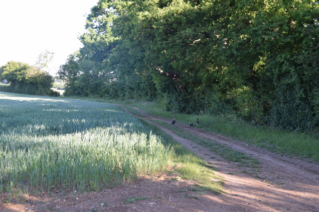
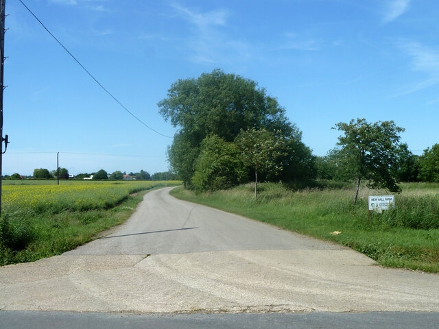
The village is characterized by its charming collection of traditional English cottages, many of which date back several centuries. These quaint dwellings, with their thatched roofs and colorful gardens, add to the village's overall charm and appeal. The surrounding countryside is a patchwork of rolling green fields and meandering streams, providing ample opportunities for outdoor activities such as walking, cycling, and picnicking.
Although Roundbush Green is primarily a residential area, it does boast a few local amenities. The village is home to a small post office, a community center, and a historic village pub, which serves as a social hub for locals and visitors alike. Additionally, the nearby town of Harlow offers a wider range of amenities, including shops, restaurants, and supermarkets.
Roundbush Green is also well-situated for those looking to explore the surrounding area. The village is just a short drive away from the Epping Forest, a vast woodland known for its ancient trees and diverse wildlife. The nearby M11 motorway provides convenient access to London, making Roundbush Green an ideal location for commuters.
All in all, Roundbush Green is a charming and tranquil village that offers a peaceful escape from the fast-paced modern world. With its stunning natural surroundings and rich history, it is a place that is sure to captivate all who visit.
If you have any feedback on the listing, please let us know in the comments section below.
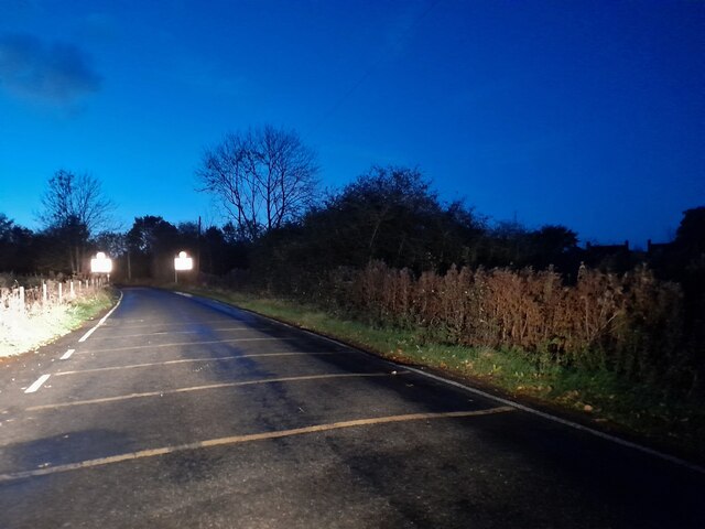
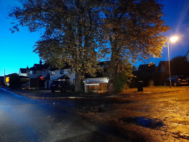
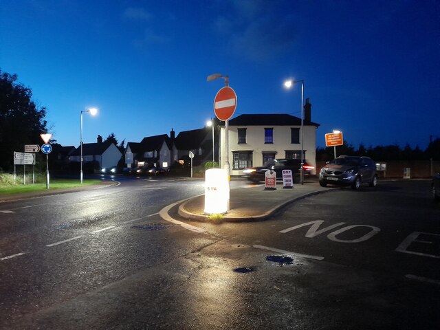
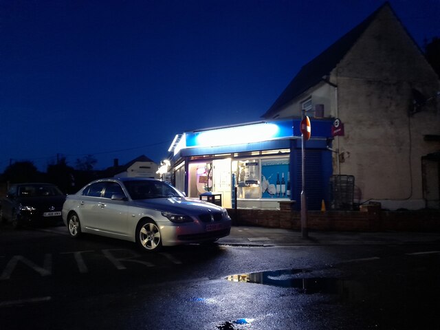
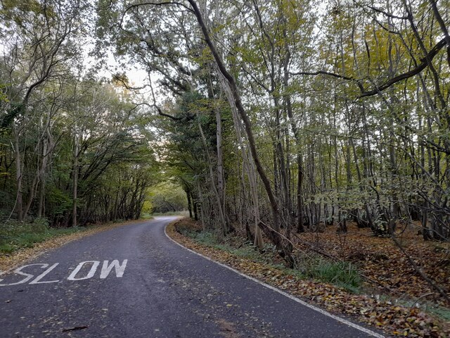
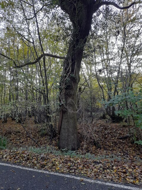
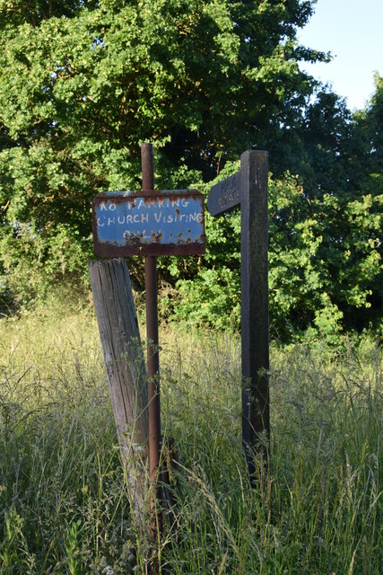
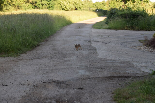
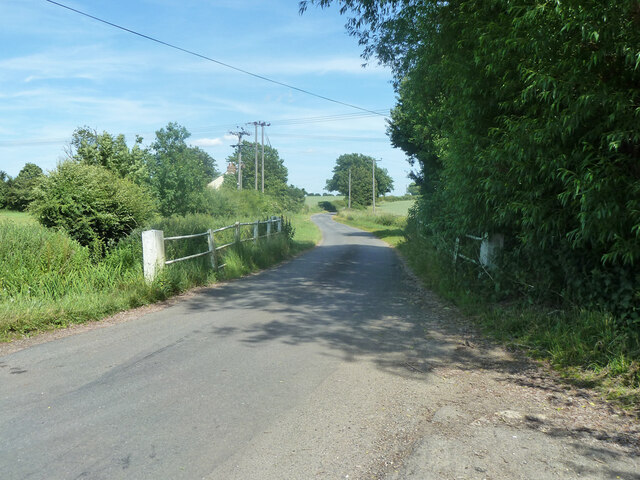
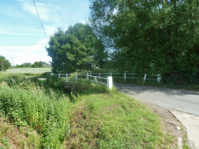
Roundbush Green Images
Images are sourced within 2km of 51.809571/0.307913 or Grid Reference TL5914. Thanks to Geograph Open Source API. All images are credited.
Roundbush Green is located at Grid Ref: TL5914 (Lat: 51.809571, Lng: 0.307913)
Administrative County: Essex
District: Uttlesford
Police Authority: Essex
What 3 Words
///engages.broth.firelight. Near Hatfield Heath, Essex
Nearby Locations
Related Wikis

Aythorpe Roding Windmill
Aythorpe Roding Windmill is a Grade II* listed Post mill at Aythorpe Roding, Essex, England which has been restored to working order. == History == Aythorpe...
Aythorpe Roding
Aythorpe Roding is a village and civil parish in the Uttlesford district of Essex, England. The village is included in the eight hamlets and villages called...

The Rodings
The Rodings are a group of eight villages in the upper part of the River Roding and the west of Essex, England, the largest group in the country to bear...

Leaden Roding
Leaden Roding is a village and civil parish in the Uttlesford district of Essex, England. The village is included in the eight hamlets and villages called...

High Roding
High Roding is a village and civil parish in the Uttlesford district of Essex, England. The village is included in the eight hamlets and villages called...

High Easter
High Easter is a village and a civil parish in the Uttlesford district of Essex, England. The village is 7 miles (11 km) northwest from the city of and...

Clatterford End, High Easter
Clatterford End is a hamlet partly in the High Easter civil parish of the Uttlesford district, and partly in the Good Easter parish of the Chelmsford district...

Margaret Roding
Margaret Roding is a village and civil parish in the Uttlesford district of Essex, England. The village is included in the eight hamlets and villages called...
Nearby Amenities
Located within 500m of 51.809571,0.307913Have you been to Roundbush Green?
Leave your review of Roundbush Green below (or comments, questions and feedback).