Aysgarth

Civil Parish in Yorkshire Richmondshire

England

Aysgarth

Looking towards Ivy Scar Looking towards Ivy Scar from The Straights.
Looking towards Ivy Scar Credit: T Eyre

Aysgarth is a civil parish located in the Richmondshire district of North Yorkshire, England. Situated in the heart of the Yorkshire Dales National Park, it is a picturesque village known for its stunning natural beauty and rich cultural heritage.

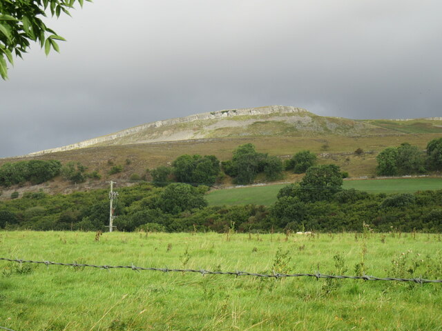
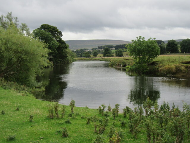
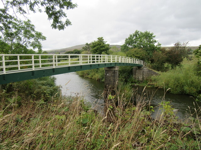
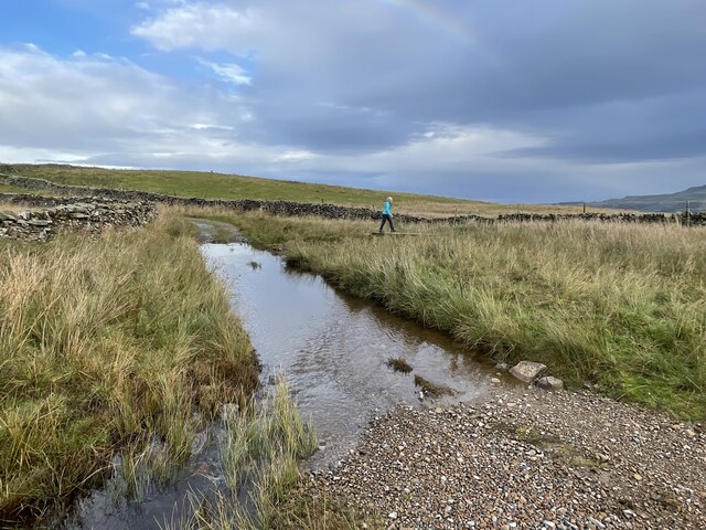
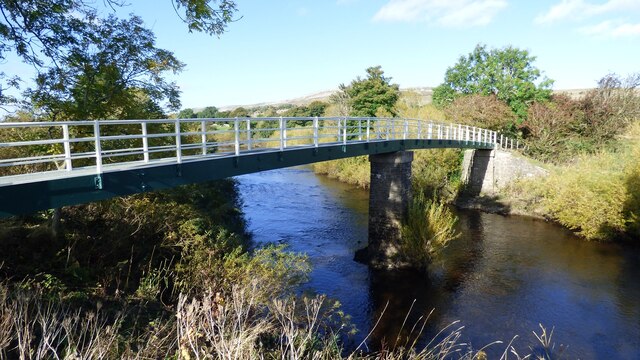
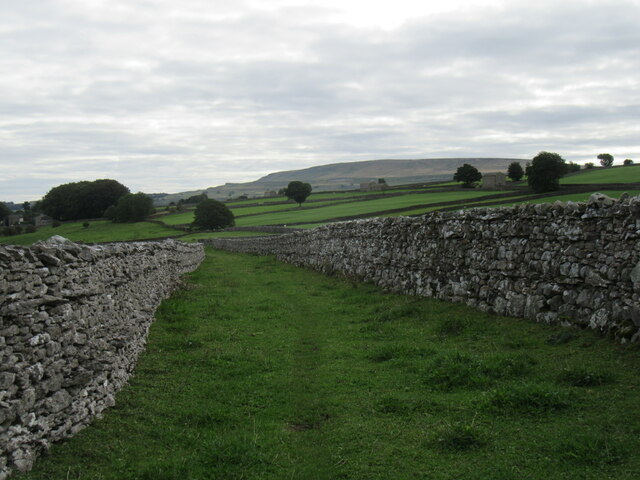
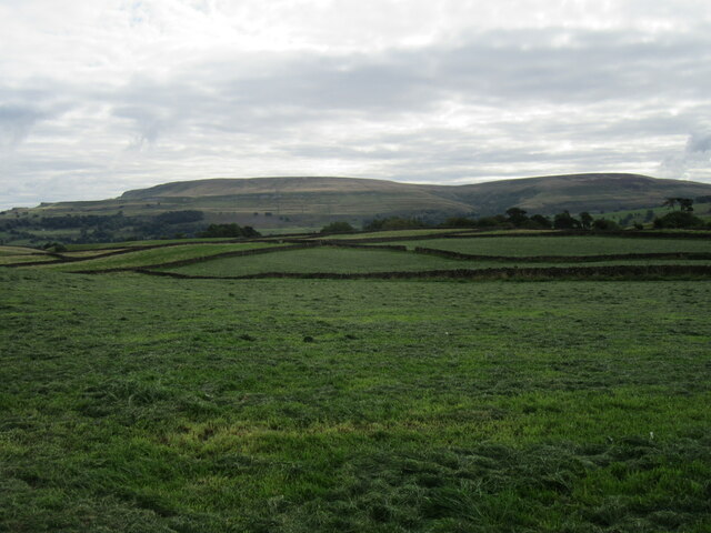
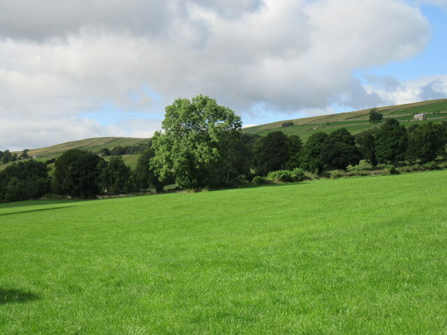
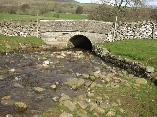
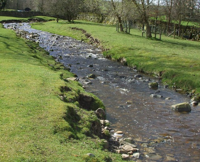
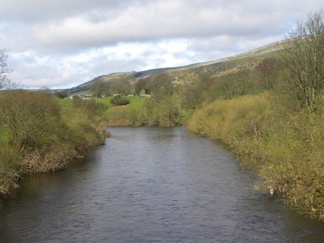
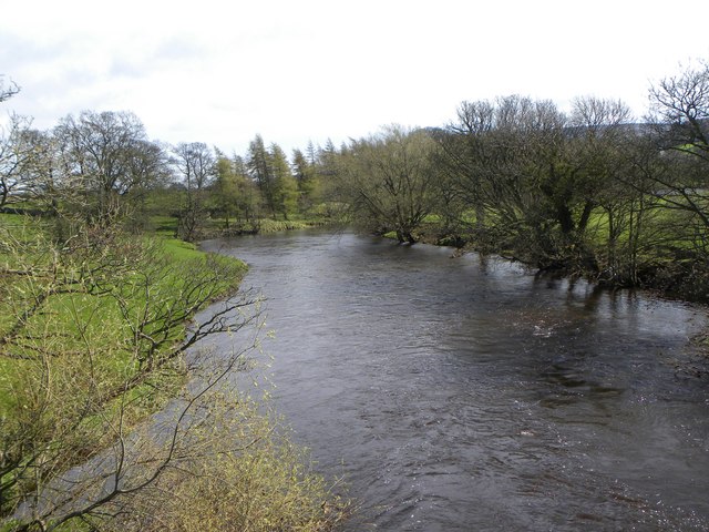
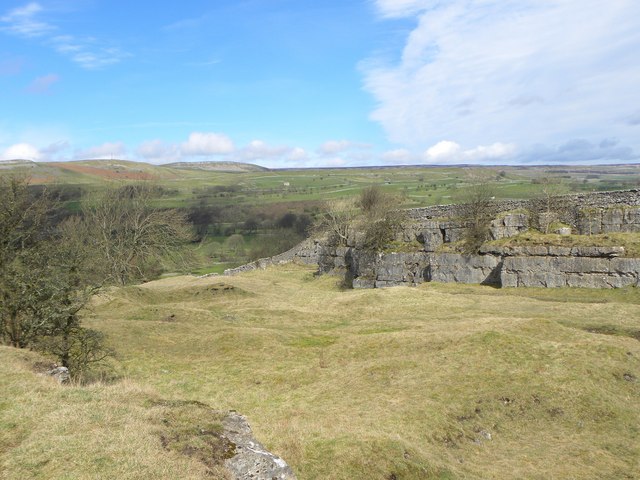
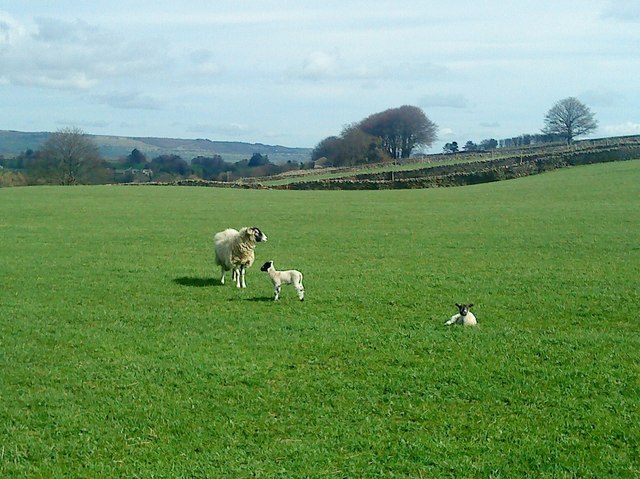
The village of Aysgarth is nestled on the banks of the River Ure, with rolling hills and lush green fields surrounding it. It is famous for its magnificent waterfalls, collectively known as the Aysgarth Falls, which attract visitors from far and wide. The falls are formed by the river cascading over a series of limestone steps, creating a spectacular sight and a popular spot for hiking and photography.

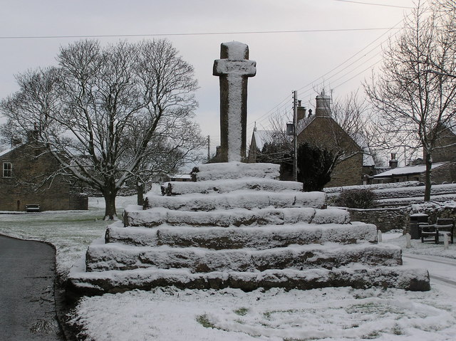
Aysgarth is also home to the historic Aysgarth Church, a Grade II listed building dating back to the 13th century. The church is renowned for its fine architecture and beautiful stained glass windows, offering a glimpse into the area's rich religious history.

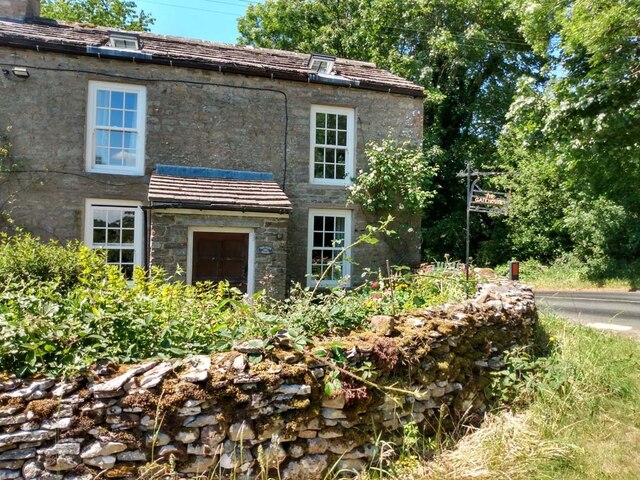
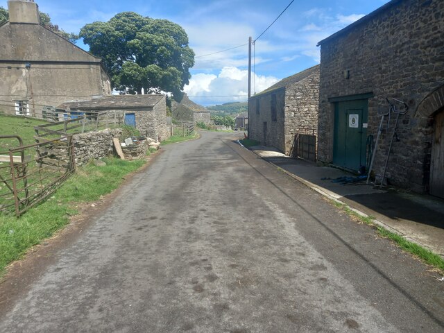
The village itself is a charming mix of traditional stone houses and quaint cottages, with a sense of timeless beauty. It boasts a range of amenities, including a village hall, a primary school, and a few local shops and pubs. The community spirit is strong in Aysgarth, with various events and activities organized throughout the year, bringing residents and visitors together.

Overall, Aysgarth is a hidden gem in the Yorkshire Dales, offering a serene and idyllic setting for those seeking a peaceful retreat or an adventure in the great outdoors.

If you have any feedback on the listing, please let us know in the comments section below.

Aysgarth Images

Images are sourced within 2km of 54.287053/-2.011595 or Grid Reference SD9987. Thanks to Geograph Open Source API. All images are credited.

Looking towards Ivy Scar Looking towards Ivy Scar from The Straights.
Looking towards Ivy Scar
Looking towards Ivy Scar from The Straights.
River Ure near Aysgarth Looking downstream with Penhill in the distance.
River Ure near Aysgarth
Looking downstream with Penhill in the distance.
Footbridge over the River Ure Footbridge over the River Ure near Aysgarth.
Footbridge over the River Ure
Footbridge over the River Ure near Aysgarth.
Folly Lane Ford This ford is found on Folly Lane.
Folly Lane Ford
This ford is found on Folly Lane.
Flout Moor Lane Ford This ford on Haw Beck is found on Flout Moor Lane.
Flout Moor Lane Ford
This ford on Haw Beck is found on Flout Moor Lane.
Footbridge over the River Ure
Disused Wensleydale railway embankment
Limekiln Lane A footpath enclosed by walls near Aysgarth.
Limekiln Lane
A footpath enclosed by walls near Aysgarth.
Folly Lane view Looking east from Folly Lane.
Folly Lane view
Looking east from Folly Lane.
Bishopdale near Thoralby Looking NW.
Bishopdale near Thoralby
Looking NW.
The Gatehouse, Aysgarth On "The Straights" near Ballowfield Bridge (across Eller Beck).
Due South of Mill Hill labelled "Gate House" 1910 and Ballowfield T.P. in 1858 (665 ft ASL). 
The property served the Richmond & Lancaster (Eastern District) Turnpike Trust in the 18ᵗʰ & 19ᵗʰ C.

Milestone Society National ID: YN.AYS
The Gatehouse, Aysgarth
On "The Straights" near Ballowfield Bridge (across Eller Beck). Due South of Mill Hill labelled "Gate House" 1910 and Ballowfield T.P. in 1858 (665 ft ASL). The property served the Richmond & Lancaster (Eastern District) Turnpike Trust in the 18ᵗʰ & 19ᵗʰ C. Milestone Society National ID: YN.AYS
Westfield, Lane, Thoralby Looking north-eastward from Town Head Farm.
Westfield, Lane, Thoralby
Looking north-eastward from Town Head Farm.
Lowgill Bridge Small stone bridge that allows the A684 to cross over Gill Beck.
Lowgill Bridge
Small stone bridge that allows the A684 to cross over Gill Beck.
Gill Beck Flowing through the pastures at Seata.
Gill Beck
Flowing through the pastures at Seata.
The Ure at Ballowfield Looking upstream from the footbridge near Seata Farm.
The Ure at Ballowfield
Looking upstream from the footbridge near Seata Farm.
The Ure heading for Aysgarth Looking downstream along the Ure from the footbridge near Seata Farm.
The Ure heading for Aysgarth
Looking downstream along the Ure from the footbridge near Seata Farm.
Seata Quarry A general view across this old limestone quarry to the west of Aysgarth. Now a nature reserve with interesting plant species.
Seata Quarry
A general view across this old limestone quarry to the west of Aysgarth. Now a nature reserve with interesting plant species.
Lambs pose in the sunshine Lambs in the pastures above Seata Quarry.
Lambs pose in the sunshine
Lambs in the pastures above Seata Quarry.
Show me another place!

Aysgarth is located at Grid Ref: SD9987 (Lat: 54.287053, Lng: -2.011595)

Division: North Riding

Administrative County: North Yorkshire

District: Richmondshire

Police Authority: North Yorkshire

What 3 Words

///clearcut.trout.elated. Near Leyburn, North Yorkshire

Nearby Locations

Aysgarth Aysgarth Pasture

Related Wikis

A684 road

The A684 is an A road that runs through Cumbria and North Yorkshire, starting at Kendal, Cumbria and ending at Ellerbeck and the A19 road in North Yorkshire...

Aysgarth

Aysgarth is a village and civil parish in Wensleydale, in North Yorkshire, England. The village is in the Yorkshire Dales National Park, about 16 miles...

Castle Dykes Henge

Castle Dykes Henge is a Class I Neolithic henge earthwork in the Yorkshire Dales National Park in North Yorkshire, England, situated between the villages...

Thoralby

Thoralby is a village and civil parish in the Richmondshire district of North Yorkshire, England. It lies south of Aysgarth, is within a mile of both Newbiggin...

St Andrew's Church, Aysgarth

St Andrew's Church, Aysgarth, is a Grade II* listed parish church in the Church of England: 66  in Aysgarth, North Yorkshire. It is located on the south...

Newbiggin, south Wensleydale

Newbiggin is a village and civil parish in Bishopdale, a side dale on the south side of Wensleydale, in the Yorkshire Dales in North Yorkshire, England...

Aysgarth Falls

Aysgarth Falls are a triple flight of waterfalls, surrounded by woodland and farmland, carved out by the River Ure over an almost one-mile (two-kilometre...

Carperby

Carperby is a village in the Yorkshire Dales, North Yorkshire, England. It lies 7 miles (11 km) west of Leyburn. == Etymology == The derivation of the...

Nearby Amenities

Located within 500m of 54.287053,-2.011595
Riggs House
Is In Country Code: GB
Is In County: North Yorkshire
Is In Municipality: Richmondshire
Place: isolated_dwelling
Source: NPE
Lat/Long: 54.2885949/-2.0137627
Power: pole
Lat/Long: 54.2915142/-2.0121826
Power: pole
Lat/Long: 54.2908817/-2.0132502
Power: pole
Lat/Long: 54.2899768/-2.0133413
Power: pole
Lat/Long: 54.2890625/-2.0134647
Barrier: stile
Material: stone
Source: survey;gps
Stile: squeezer
Lat/Long: 54.2906218/-2.0101726
Barrier: stile
Material: stone
Source: survey;gps
Stile: squeezer
Lat/Long: 54.2906962/-2.0085652
Barrier: stile
Material: stone
Source: survey;gps
Stile: squeezer
Lat/Long: 54.2909237/-2.0137562
Barrier: stile
Material: stone
Source: survey;gps
Stile: squeezer
Lat/Long: 54.283075/-2.0097233
Barrier: stile
Material: stone
Source: survey;gps
Stile: squeezer
Lat/Long: 54.2833351/-2.0074638
Barrier: stile
Material: stone
Source: survey;gps
Stile: stepover
Lat/Long: 54.2837328/-2.0069056
Barrier: stile
Material: stone
Source: survey;gps
Stile: squeezer
Lat/Long: 54.2849926/-2.0060958
Barrier: stile
Material: stone
Source: survey;gps
Stile: squeezer
Lat/Long: 54.2854311/-2.005187
Barrier: stile
Lat/Long: 54.2869067/-2.0039889
The data included in this document is from www.openstreetmap.org. The data is made available under ODbL.

Have you been to Aysgarth?

Leave your review of Aysgarth below (or comments, questions and feedback).