Aysgarth Pasture
Downs, Moorland in Yorkshire Richmondshire
England
Aysgarth Pasture
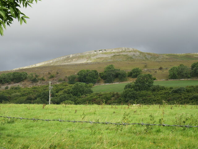
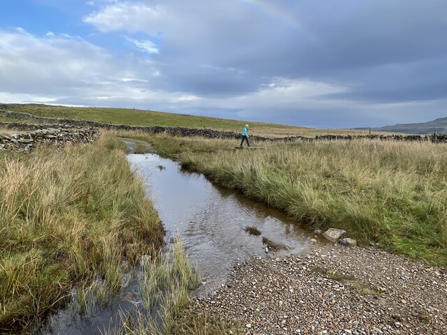
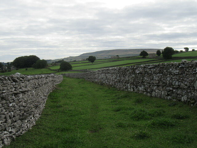
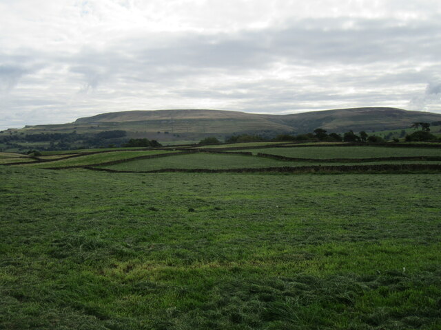
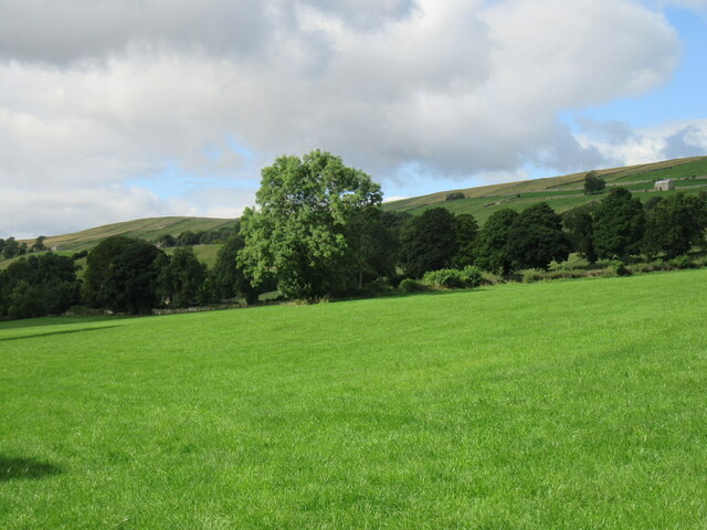
Aysgarth Pasture is a picturesque expanse of land located in Yorkshire, England, encompassing diverse topographical features such as downs, moorland, and rolling hills. Spanning an area of approximately 400 acres, this rural paradise is renowned for its natural beauty and captivating scenery.
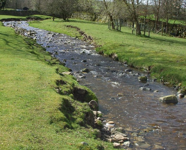
The pasture is adorned with lush greenery, including meadows adorned with colorful wildflowers during the spring and summer months. It boasts a diverse range of flora and fauna, making it a haven for nature enthusiasts and wildlife lovers. The rolling downs offer breathtaking panoramic views of the surrounding countryside, while the expansive moorland is home to a variety of rare bird species, such as curlews, lapwings, and red grouse.
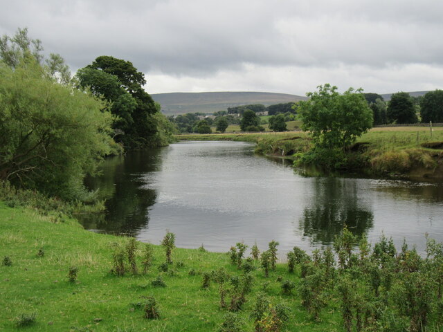
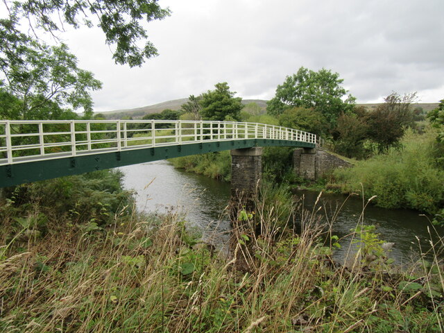
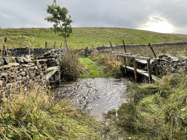
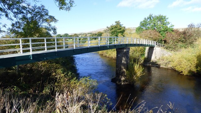
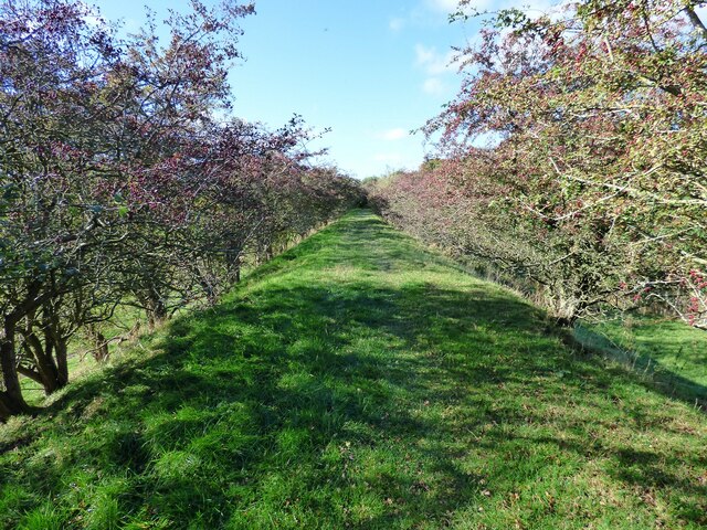
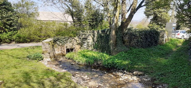
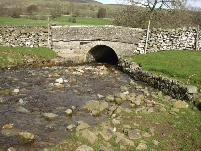
Traversing the landscape are several footpaths and trails, allowing visitors to explore the area on foot or by bike. Aysgarth Pasture is also blessed with the presence of the River Ure, which meanders through the land, creating picturesque waterfalls and serene pools. The most famous of these cascades is the Aysgarth Falls, a series of three stunning waterfalls that attract tourists from far and wide.
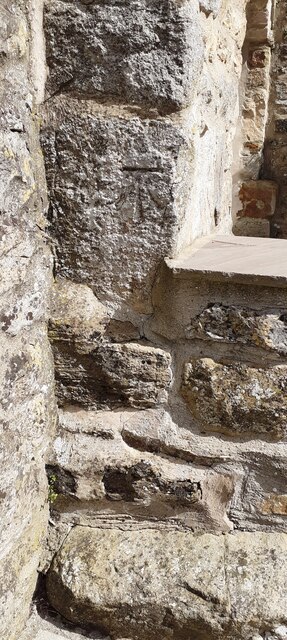
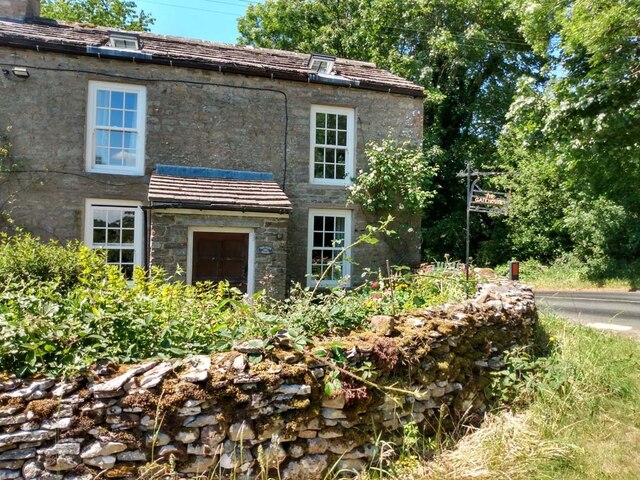
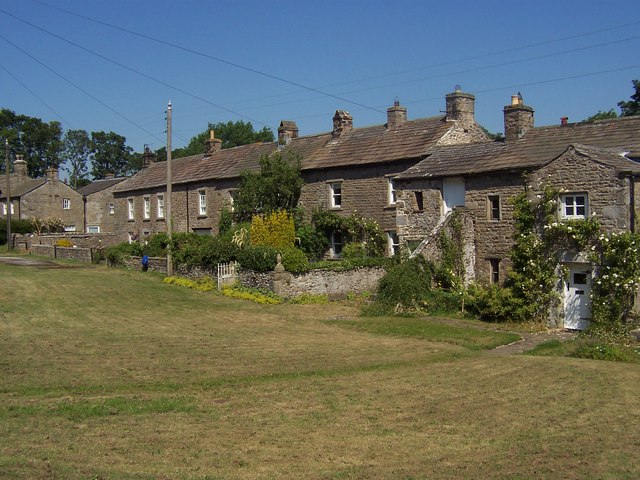
In addition to its natural wonders, Aysgarth Pasture is steeped in history and culture. The area is dotted with ancient stone structures and relics, providing glimpses into its rich past. It is a place of tranquility and serenity, offering visitors an escape from the hustle and bustle of modern life.
Overall, Aysgarth Pasture stands as a testament to the unspoiled beauty of Yorkshire, showcasing the region's diverse landscapes and providing a haven for both nature lovers and history enthusiasts.
If you have any feedback on the listing, please let us know in the comments section below.
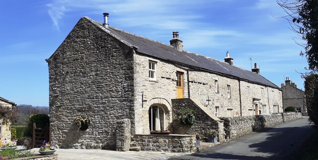
Aysgarth Pasture Images
Images are sourced within 2km of 54.282973/-2.0157706 or Grid Reference SD9987. Thanks to Geograph Open Source API. All images are credited.
Aysgarth Pasture is located at Grid Ref: SD9987 (Lat: 54.282973, Lng: -2.0157706)
Division: North Riding
Administrative County: North Yorkshire
District: Richmondshire
Police Authority: North Yorkshire
What 3 Words
///consonant.gurgled.perfumes. Near Leyburn, North Yorkshire
Nearby Locations
Related Wikis

Castle Dykes Henge
Castle Dykes Henge is a Class I Neolithic henge earthwork in the Yorkshire Dales National Park in North Yorkshire, England, situated between the villages...

Thoralby
Thoralby is a village and civil parish in the Richmondshire district of North Yorkshire, England. It lies south of Aysgarth, is within a mile of both Newbiggin...

A684 road
The A684 is an A road that runs through Cumbria and North Yorkshire, starting at Kendal, Cumbria and ending at Ellerbeck and the A19 road in North Yorkshire...

Aysgarth
Aysgarth is a village and civil parish in Wensleydale, in North Yorkshire, England. The village is in the Yorkshire Dales National Park, about 16 miles...

Newbiggin, south Wensleydale
Newbiggin is a village and civil parish in Bishopdale, a side dale on the south side of Wensleydale, in the Yorkshire Dales in North Yorkshire, England...
Thornton Rust
Thornton Rust is a village and civil parish in North Yorkshire, England. It lies in the Yorkshire Dales about 2 miles (3.2 km) west of Aysgarth, high on...

St Andrew's Church, Aysgarth
St Andrew's Church, Aysgarth, is a Grade II* listed parish church in the Church of England: 66 in Aysgarth, North Yorkshire. It is located on the south...

Aysgarth Falls
Aysgarth Falls are a triple flight of waterfalls, surrounded by woodland and farmland, carved out by the River Ure over an almost one-mile (two-kilometre...
Nearby Amenities
Located within 500m of 54.282973,-2.0157706Have you been to Aysgarth Pasture?
Leave your review of Aysgarth Pasture below (or comments, questions and feedback).