Aylburton
Civil Parish in Gloucestershire Forest of Dean
England
Aylburton
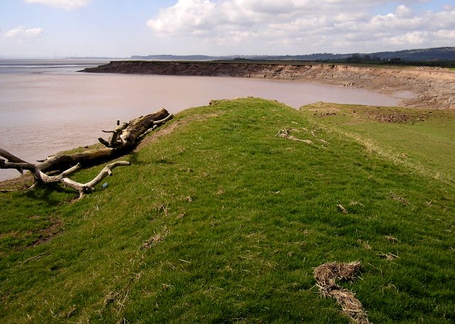
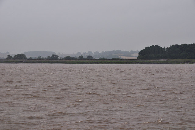
Aylburton is a civil parish located in the Forest of Dean district of Gloucestershire, England. It is situated on the western bank of the River Severn, approximately 2 miles southeast of Lydney. The parish covers an area of about 4.7 square miles and has a population of around 1,500 residents.
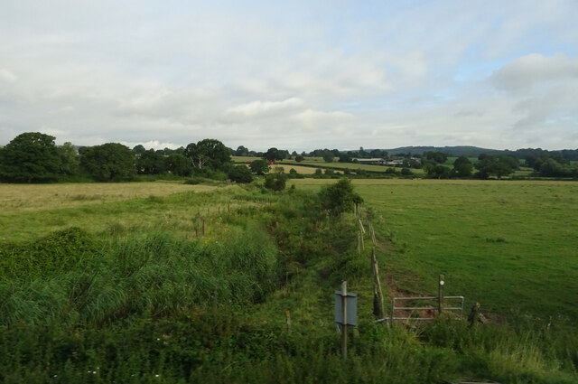
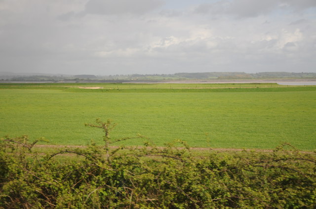
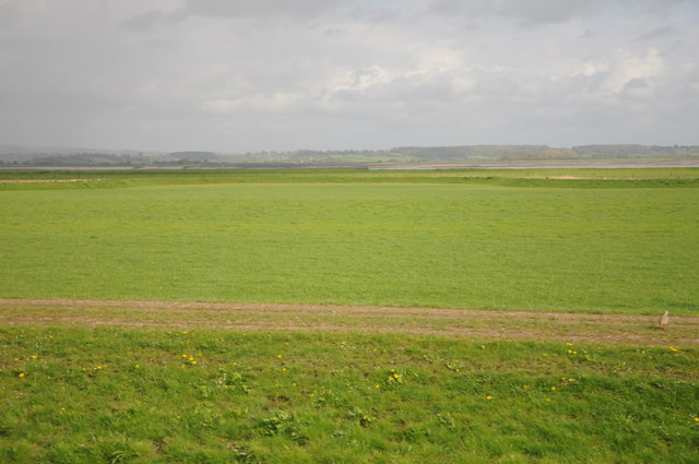
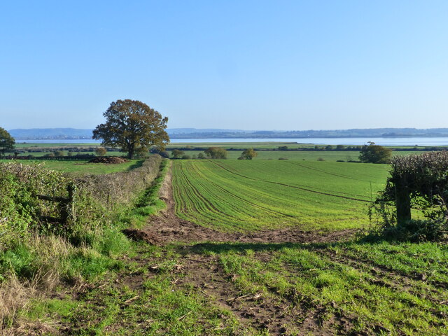
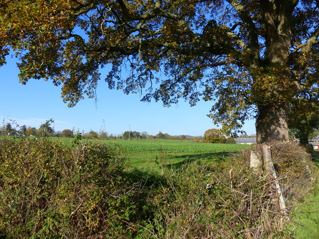
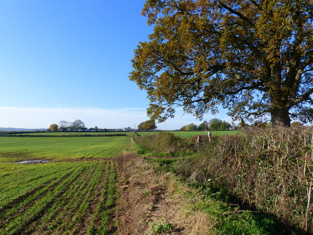
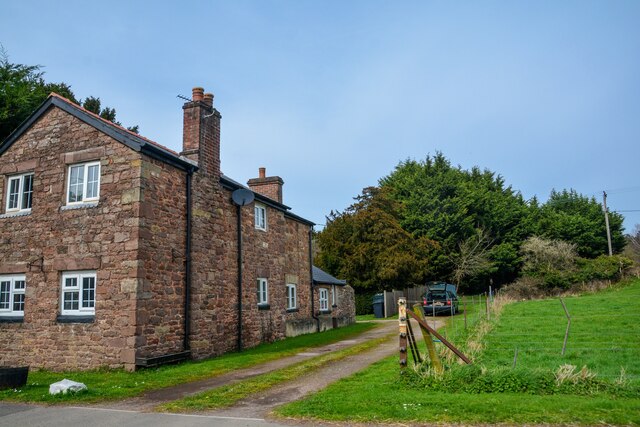
The village of Aylburton itself is small and picturesque, with a charming mix of traditional stone-built cottages and modern houses. It is surrounded by beautiful countryside, including the nearby Lydney Park Estate and the Forest of Dean, making it a popular destination for outdoor enthusiasts and nature lovers.
Aylburton has a rich history, dating back to medieval times. The village is home to St. Mary's Church, a historic Grade II listed building that dates back to the 12th century. The church is known for its beautiful stained glass windows and intricate woodwork.
The local economy is primarily based on agriculture and tourism. Many residents are employed in farming, while others work in local businesses, shops, and services. The village has a primary school, providing education for local children.
Aylburton is well-connected to other parts of Gloucestershire and beyond. The village is located near the A48 road, which provides easy access to the nearby towns of Lydney and Chepstow. There are also regular bus services that connect Aylburton with surrounding areas.
Overall, Aylburton is a peaceful and scenic village that offers a close-knit community, beautiful countryside, and a rich history.
If you have any feedback on the listing, please let us know in the comments section below.
Aylburton Images
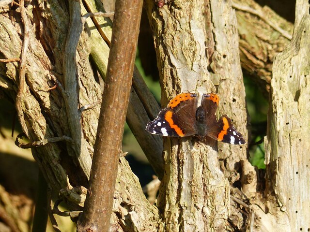
Images are sourced within 2km of 51.698373/-2.546507 or Grid Reference SO6200. Thanks to Geograph Open Source API. All images are credited.


Aylburton is located at Grid Ref: SO6200 (Lat: 51.698373, Lng: -2.546507)
Administrative County: Gloucestershire
District: Forest of Dean
Police Authority: Gloucestershire
What 3 Words
///skippers.stored.spill. Near Lydney, Gloucestershire
Nearby Locations
Related Wikis

Aylburton
Aylburton is a village and civil parish in the Forest of Dean district of Gloucestershire, England, on the A48 road about two miles south-west of Lydney...

Lydney railway station
Lydney railway station is a railway station serving the town of Lydney in Gloucestershire, England. It is located on the Gloucester-Newport line, 133 miles...

Alvington, Gloucestershire
Alvington is a village and civil parish in the Forest of Dean in Gloucestershire, England, situated on the A48 road, six miles north-east of Chepstow in...
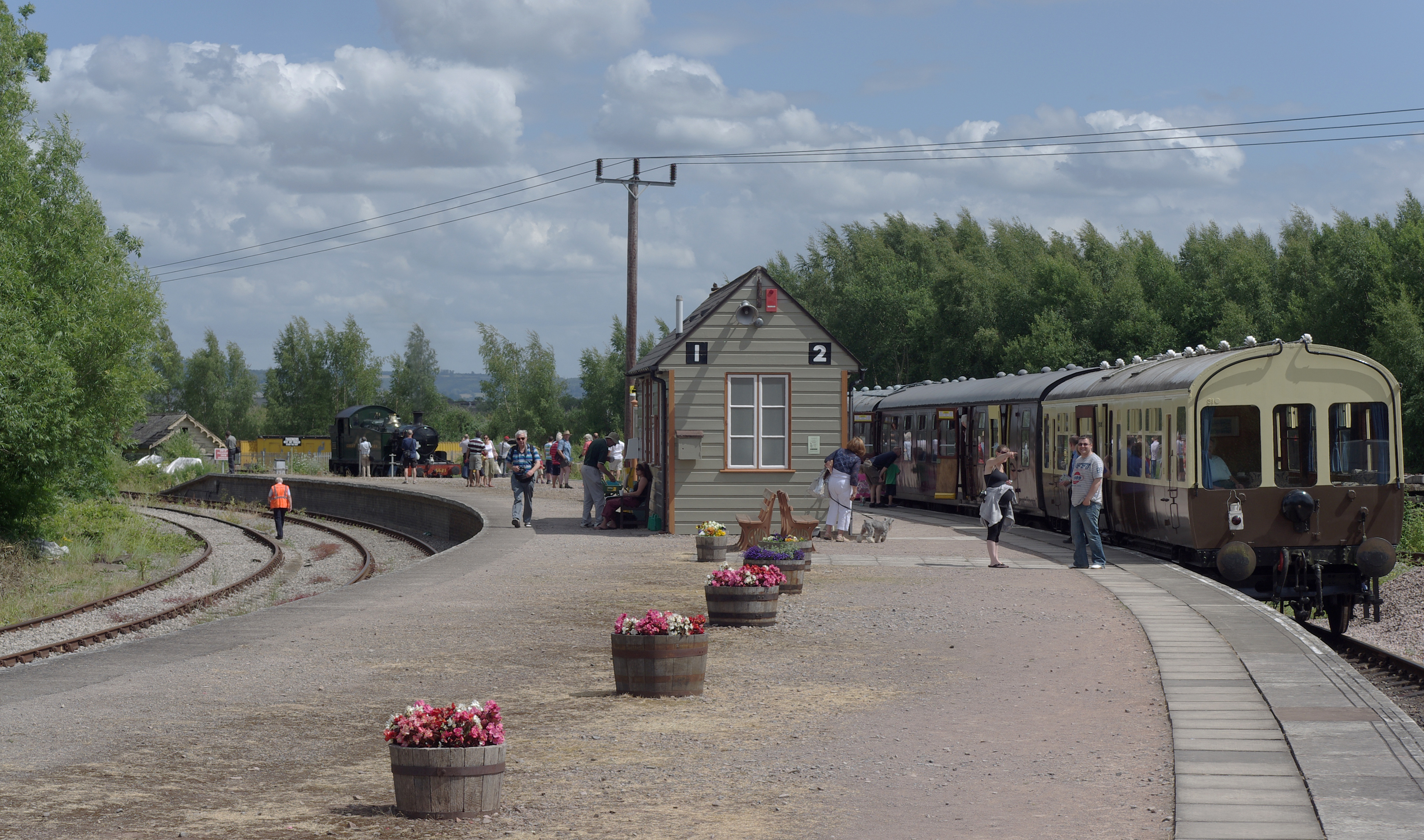
Lydney Junction railway station
Lydney Junction railway station is a railway station near Lydney in Gloucestershire. The station is now the southern terminus of the Dean Forest Railway...
Nearby Amenities
Located within 500m of 51.698373,-2.546507Have you been to Aylburton?
Leave your review of Aylburton below (or comments, questions and feedback).