Awliscombe

Civil Parish in Devon East Devon

England

Awliscombe

Field and power lines near Deer Park Farm
Field and power lines near Deer Park Farm Credit: Rob Purvis

Awliscombe is a civil parish located in the East Devon district of the county of Devon, in the southwestern part of England. Situated approximately 8 miles north of Honiton, it covers an area of around 1,400 acres and is home to a population of around 500 people.

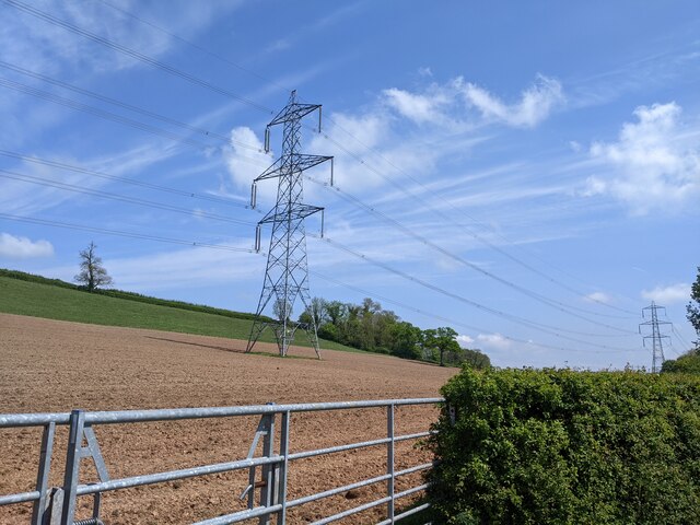
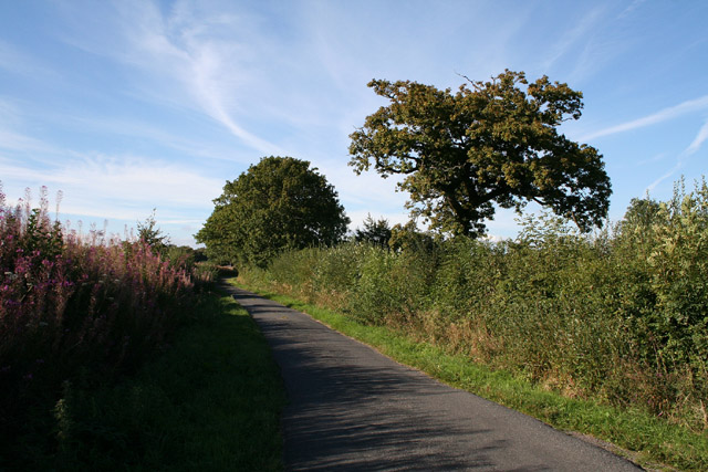
The parish is set in a rural landscape, characterized by rolling hills, farmland, and picturesque countryside. It is surrounded by several other small parishes, including Talaton, Feniton, and Payhembury.

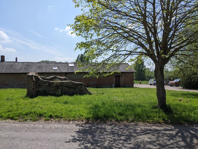
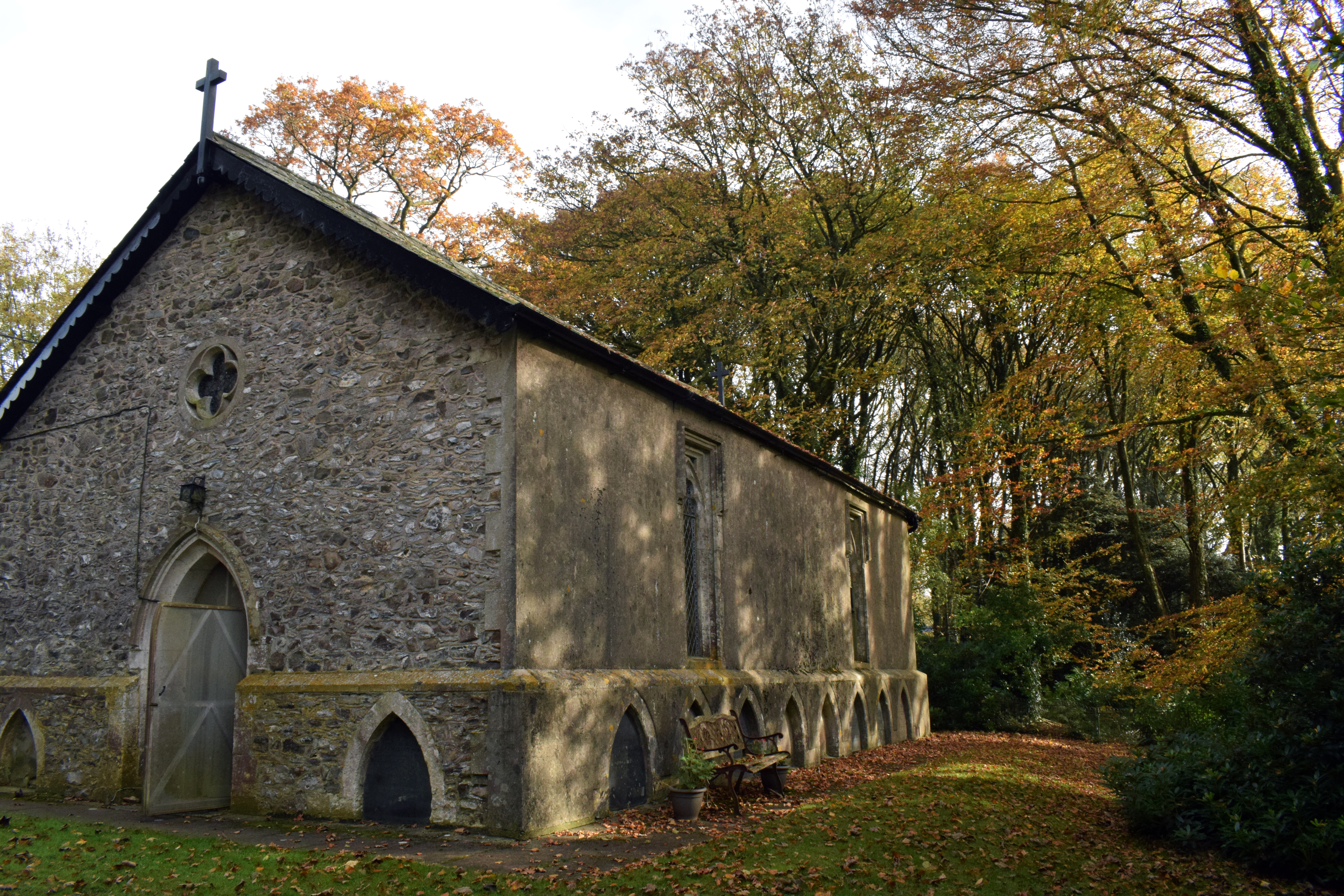
The village of Awliscombe itself is a small and close-knit community with a rich history dating back many centuries. It features a charming mix of traditional thatched cottages, Georgian and Victorian houses, and a 13th-century church called St. Michael and All Angels. The church is known for its beautiful stained glass windows and is a Grade II listed building.

A notable landmark in Awliscombe is Escot House, a stunning country house built in the 18th century. It is surrounded by magnificent gardens and parkland, which are open to the public and attract visitors from near and far.

The parish has a strong sense of community, with various local events and activities taking place throughout the year. These include a village fete, a harvest festival, and social gatherings at the local pub, The Honiton Inn.

Awliscombe offers a peaceful and idyllic living environment, with easy access to the nearby town of Honiton for amenities and transportation links. It provides residents and visitors alike with a quintessential English countryside experience.

If you have any feedback on the listing, please let us know in the comments section below.

Awliscombe Images

Images are sourced within 2km of 50.81679/-3.233412 or Grid Reference ST1302. Thanks to Geograph Open Source API. All images are credited.

Field and power lines near Deer Park Farm
Buildings at Deer Park Farm
Power for the people  Looking West from under the electricity pylons as they cross a footpath.
Power for the people
Looking West from under the electricity pylons as they cross a footpath.
Gates to Awliscombe Lodge
Footbridge over the river Wolf The River Wolf feeds into the River Otter.
Footbridge over the river Wolf
The River Wolf feeds into the River Otter.
Awliscombe from Bushy Knap looking towards St Cyres hill in the distance.
Awliscombe from Bushy Knap
looking towards St Cyres hill in the distance.
Steep downhill and sharp bend on the A373, heading east
Staggered junction ahead on the A373, heading east
On the A373 heading east, sign for A. R. Boland Ltd
Houses next to the A373 near Awliscombe
Nap View joins the A373 in Awliscombe
Land Rover Experience sign and houses on the east side of Awliscombe, on the A373
Footpath to Hembury Fort Christmas day picnic !
Footpath to Hembury Fort
Christmas day picnic !
Payhembury: Hembury hillfort Ditch and rampart on the eastern side of the Iron Age hillfort, now somewhat overgrown. This was originally a Neolithic site. Excavations were made here by Dorothy Liddell in 1930-35 and by Professor Malcolm Todd in 1980-83
Payhembury: Hembury hillfort
Ditch and rampart on the eastern side of the Iron Age hillfort, now somewhat overgrown. This was originally a Neolithic site. Excavations were made here by Dorothy Liddell in 1930-35 and by Professor Malcolm Todd in 1980-83
Awliscombe: south to Honiton The western end of the town seen from the road that climbs St Cyres’ Hill
Awliscombe: south to Honiton
The western end of the town seen from the road that climbs St Cyres’ Hill
Awliscombe: boundary with Combe Raleigh Looking north along the lane on the hill that separates the two parishes. Rose bay willow herb, known by some as fireweed, still flowers in the bank
Awliscombe: boundary with Combe Raleigh
Looking north along the lane on the hill that separates the two parishes. Rose bay willow herb, known by some as fireweed, still flowers in the bank
Awliscombe: on St Cyres Hill By the turning to Awliscombe village – Greenway Lane – which descends steeply to the valley of the river Wolf
Awliscombe: on St Cyres Hill
By the turning to Awliscombe village – Greenway Lane – which descends steeply to the valley of the river Wolf
Awliscombe: towards the village Seen from Greenway Lane, looking south west. The church and village nestle below Buckerell Knap. On the right of this view rain obscures the distant hills and will fall in Honiton 15 minutes later
Awliscombe: towards the village
Seen from Greenway Lane, looking south west. The church and village nestle below Buckerell Knap. On the right of this view rain obscures the distant hills and will fall in Honiton 15 minutes later
Show me another place!

Awliscombe is located at Grid Ref: ST1302 (Lat: 50.81679, Lng: -3.233412)

Administrative County: Devon

District: East Devon

Police Authority: Devon & Cornwall

What 3 Words

///stole.refreshed.moguls. Near Honiton, Devon

Related Wikis

Awliscombe

Awliscombe is a village and civil parish in the East Devon district of Devon, England. The village is about two miles west of Honiton. The 2011 census...

Hembury

Hembury is a Neolithic causewayed enclosure and Iron Age hillfort near Honiton in Devon. Its history stretches from the late fifth and early fourth millennia...

Buckerell

Buckerell is a small village and civil parish in the East Devon district of Devon, England. The village is about 2.5 miles west of the nearest town, Honiton...

Deer Park Country House, Buckerell

Deer Park Country House near Honiton, Devon is a house of historical significance and is Grade II listed on the English Heritage Register. It was built...

Wolford Chapel

Wolford Chapel in Devon, England, is the burial place of John Graves Simcoe, the first lieutenant governor of Upper Canada. It is the territory of the...

Combe Raleigh

Combe Raleigh () is a village and civil parish in the county of Devon, England. The village lies about 1.5 miles north of the town of Honiton, and the...

Honiton Town F.C.

Honiton Town Football Club is a football club based in Honiton, Devon, England. They are currently members of the South West Peninsula League Premier Division...

Pomeroy Wood

Pomeroy Wood is the site near Honiton in Devon of a Roman military site of unknown type, probably either a fort or marching camp, though archaeological...

Nearby Amenities

Located within 500m of 50.81679,-3.233412
Godford Cross
Junction: yes
Place: locality
Lat/Long: 50.8128161/-3.2358631
Awliscombe
Direction: forward
Traffic Sign: city_limit
Lat/Long: 50.8132049/-3.2367811
Cot Green Cross
Is In: Devon, England, United Kingdom
Place: locality
Lat/Long: 50.8154109/-3.2357286
Give Way
Direction: backward
Lat/Long: 50.8128405/-3.2358277
Post Box
Awliscombe
Collection Times: Mo-Fr 17:15; Sa 09:00
Operator: Royal Mail
Post Box Type: wall
Postal Code: EX14 3PP
Ref: EX14 31
Royal Cypher: GR
Royal Cypher Wikidata: Q33102273
Lat/Long: 50.8132566/-3.2358438
Rest Area
Capacity: 2
Drinking Water: no
Toilets: no
Waste Bin: no
Lat/Long: 50.813081/-3.2365299
Give Way
Direction: forward
Lat/Long: 50.8132829/-3.2358331
Give Way
Direction: backward
Lat/Long: 50.8133015/-3.2371607
Power: pole
Source: bing
Lat/Long: 50.8147853/-3.2387647
Poles: bipole
Power: pole
Source: bing
Lat/Long: 50.815747/-3.2380472
Power: pole
Source: bing
Lat/Long: 50.8166731/-3.238927
Power: pole
Source: bing
Lat/Long: 50.8177314/-3.2399355
Power: pole
Source: bing
Lat/Long: 50.8141023/-3.233061
Power: pole
Source: bing
Transformer: distribution
Lat/Long: 50.8146489/-3.2329872
Power: pole
Source: bing
Lat/Long: 50.8123254/-3.2333091
Power: pole
Source: bing
Lat/Long: 50.8133583/-3.2331736
Power: pole
Source: bing
Lat/Long: 50.8183372/-3.2390597
Power: pole
Source: bing
Lat/Long: 50.8175637/-3.2382913
Power: pole
Source: bing
Lat/Long: 50.8170519/-3.2376355
Power: pole
Source: bing
Lat/Long: 50.8163274/-3.2367182
Power: pole
Source: bing
Lat/Long: 50.8160156/-3.2363132
Power: pole
Source: bing
Lat/Long: 50.8157504/-3.2369676
Power: pole
Source: bing
Lat/Long: 50.8154937/-3.2376046
Power: pole
Source: bing
Lat/Long: 50.8152401/-3.2382286
The data included in this document is from www.openstreetmap.org. The data is made available under ODbL.

Have you been to Awliscombe?

Leave your review of Awliscombe below (or comments, questions and feedback).