Avenbury
Civil Parish in Herefordshire
England
Avenbury

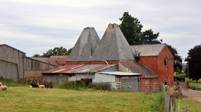
Avenbury is a civil parish located in the county of Herefordshire, in the West Midlands region of England. It is situated approximately 6 miles northwest of the city of Hereford and covers an area of about 6.4 square kilometers. The parish is primarily rural, characterized by rolling hills, farmland, and scattered residential properties.
The centerpiece of Avenbury is its historic church, St. Mary's, which dates back to the 12th century. The church is renowned for its beautiful stained glass windows and intricate stone carvings, attracting visitors from near and far. Surrounding the church is the small village of Avenbury, with a population of around 200 residents.
The village itself offers a peaceful and picturesque setting, with a mix of traditional stone cottages and more modern housing. It has a strong sense of community, with a village hall and regular events such as fairs and festivals that bring residents together. Avenbury also benefits from a local pub, the Avenbury Arms, which serves as a social hub for locals and visitors alike.
The surrounding countryside offers ample opportunities for outdoor activities, including walking, cycling, and horse riding. The parish is also known for its scenic views, particularly from Avenbury Hill, which provides panoramic vistas of the surrounding countryside.
Overall, Avenbury is a charming and tranquil civil parish, known for its historic church, beautiful countryside, and close-knit community.
If you have any feedback on the listing, please let us know in the comments section below.
Avenbury Images
Images are sourced within 2km of 52.164373/-2.512182 or Grid Reference SO6551. Thanks to Geograph Open Source API. All images are credited.


Avenbury is located at Grid Ref: SO6551 (Lat: 52.164373, Lng: -2.512182)
Unitary Authority: County of Herefordshire
Police Authority: West Mercia
What 3 Words
///dome.quoted.easily. Near Bromyard, Herefordshire
Nearby Locations
Related Wikis

Avenbury
Avenbury is a civil parish in Herefordshire, England. It is on the A465, just south of Bromyard, and by the River Frome. The population of this parish...

Queen Elizabeth High School, Bromyard
Queen Elizabeth High School is a high school with academy status situated in Herefordshire, on the outskirts of Bromyard. The school meets the educational...

Bromyard
Bromyard is a town in the parish of Bromyard and Winslow, in Herefordshire, England, in the valley of the River Frome. It is near the county border with...
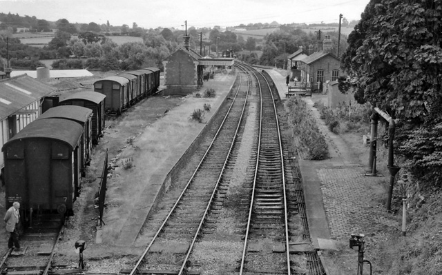
Bromyard railway station
Bromyard railway station was a station in Bromyard, Herefordshire, England. The station was opened on 22 October 1877 and closed after the last train on...
Nearby Amenities
Located within 500m of 52.164373,-2.512182Have you been to Avenbury?
Leave your review of Avenbury below (or comments, questions and feedback).